Sale Water Park

Lake, Pool, Pond, Freshwater Marsh in Cheshire

England

Sale Water Park

Bridgewater Canal, Dane Road Often considered to be the first "true" canal, the Bridgewater Canal was commissioned by Francis Egerton, 3rd Duke of Bridgewater, to transport coal from his mines in Worsley. The section from Worsley to Manchester opened on 17th July 1761; it was later extended from Manchester to Runcorn, and then from Worsley to Leigh. Coal was needed in large quantities to fuel the industrial revolution and the canal enabled coal and other goods to be transported efficiently and cheaply to the rapidly expanding towns and cities. Its success helped inspire a period of intense canal building although it later faced intense competition from the Liverpool and Manchester Railway and the Macclesfield Canal.

The canal is connected to the Rochdale Canal (<a title="https://www.geograph.org.uk/snippet/1707" href="https://www.geograph.org.uk/snippet/1707">Link</a> ) in Manchester, the Trent and Mersey Canal at Preston Brook, south-east of Runcorn, and to the Leeds and Liverpool Canal at Leigh. It once connected with the River Mersey at Runcorn but has since been cut off by a slip road to the Silver Jubilee Bridge.

Navigable throughout its history, it is one of the few canals in Britain not to have been nationalised, and remains privately owned. Commercial traffic continued on the canal until 1974. By this time, canals were becoming more important as a leisure facility and pleasure craft now use the canal which forms part of the Cheshire Ring circular canal route.

For many years, the canal around Worsley was noted for the distinctive bright orange colouring of the water. This was a result of iron oxide from the mines tainting the water as the canal passes through Worsley. A £2.5 million remedial scheme was undertaken in 2013 to remove this colouration.

The Bridgewater Canal is owned and operated by the Manchester Ship Canal Company in conjunction with the Bridgewater Canal Trust.

<span class="nowrap"><a title="http://www.bridgewatercanal.co.uk/" rel="nofollow ugc noopener" href="http://www.bridgewatercanal.co.uk/">Link</a><img style="margin-left:2px;" alt="External link" title="External link - shift click to open in new window" src="https://s1.geograph.org.uk/img/external.png" width="10" height="10"/></span> Bridgewater Canal Company
<span class="nowrap"><a title="http://www.penninewaterways.co.uk/bridgewater/bri2.htm" rel="nofollow ugc noopener" href="http://www.penninewaterways.co.uk/bridgewater/bri2.htm">Link</a><img style="margin-left:2px;" alt="External link" title="External link - shift click to open in new window" src="https://s1.geograph.org.uk/img/external.png" width="10" height="10"/></span> Pennine Waterways
<span class="nowrap"><a title="http://en.wikipedia.org/wiki/Bridgewater_Canal" rel="nofollow ugc noopener" href="http://en.wikipedia.org/wiki/Bridgewater_Canal">Link</a><img style="margin-left:2px;" alt="External link" title="External link - shift click to open in new window" src="https://s1.geograph.org.uk/img/external.png" width="10" height="10"/></span> Wikipedia
Bridgewater Canal, Dane Road Credit: David Dixon

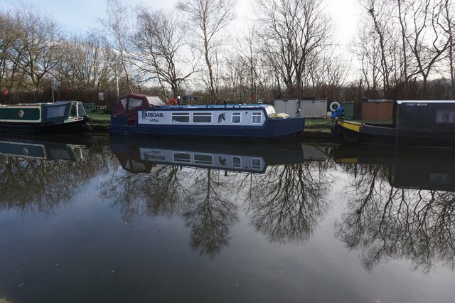
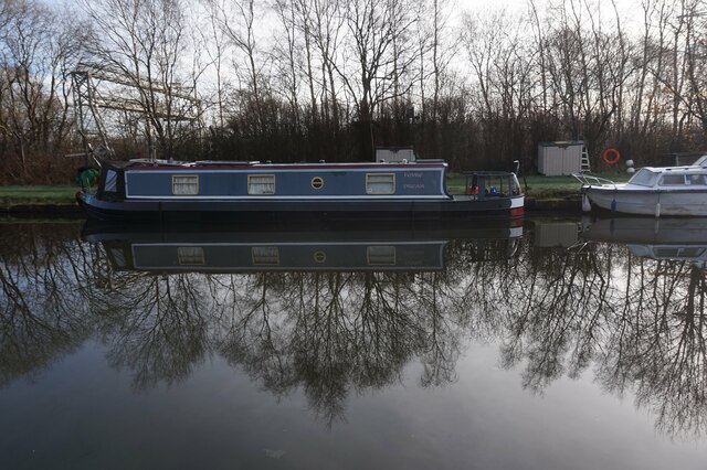
Sale Water Park is a popular recreational area located in Cheshire, England. Spread over an area of 152 acres, this park offers a variety of attractions for visitors of all ages. The centerpiece of the park is the picturesque lake, which spans 52 acres and provides a serene setting for various water activities.

The lake at Sale Water Park is ideal for kayaking, canoeing, and sailing, attracting water sports enthusiasts from near and far. With its calm waters and scenic surroundings, it offers a perfect opportunity for beginners to try their hand at these activities. The lake is also well-stocked with fish, making it a popular spot for anglers looking to enjoy a relaxing day of fishing.

In addition to the lake, Sale Water Park boasts a large swimming pool, which is open during the summer months. This pool provides a safe and enjoyable environment for swimmers, and is equipped with lifeguards to ensure the safety of all visitors. The pool area also features sun loungers and picnic tables, allowing visitors to relax and soak up the sun.

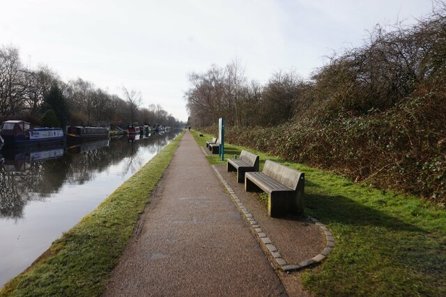
The park is also home to a tranquil pond and a freshwater marsh, both of which attract a diverse range of wildlife. Nature enthusiasts can enjoy birdwatching and spot various species that inhabit the area. The park's well-maintained paths and trails are perfect for leisurely walks and cycling, providing an opportunity to explore the beautiful surroundings.

Overall, Sale Water Park offers a peaceful and scenic escape from the hustle and bustle of city life. With its range of water activities, swimming pool, and diverse wildlife, it is a perfect destination for both locals and tourists seeking outdoor recreation and relaxation.

If you have any feedback on the listing, please let us know in the comments section below.

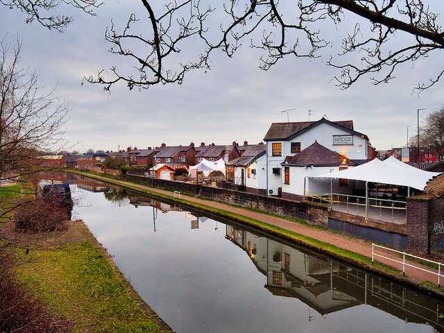
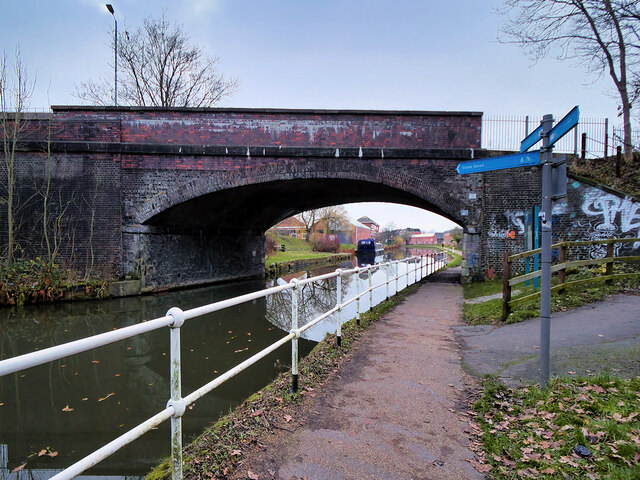
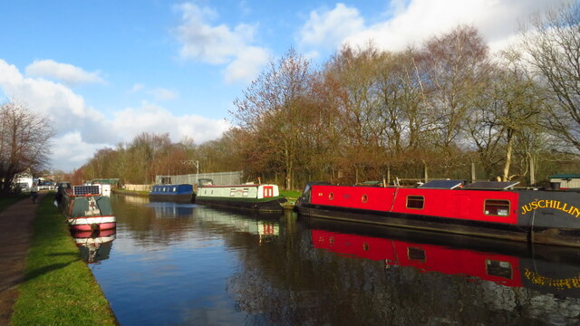
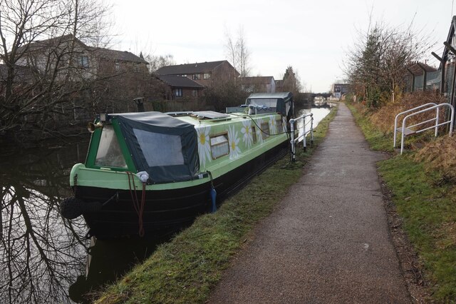
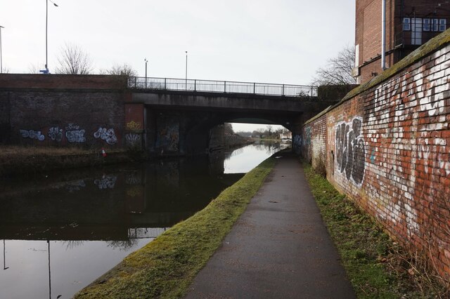
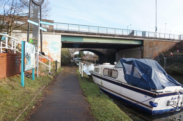
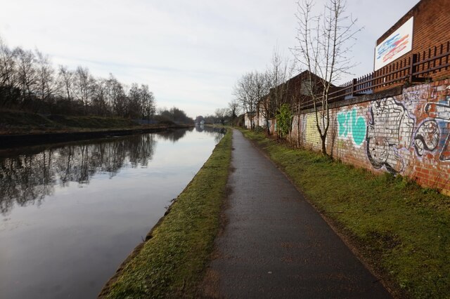
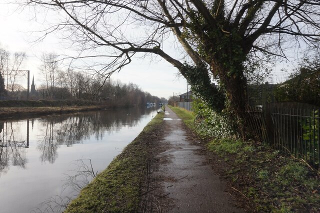
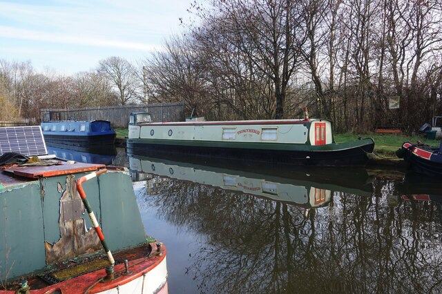
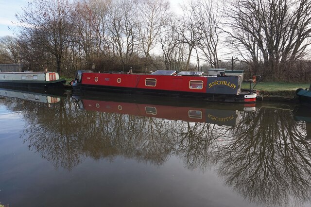
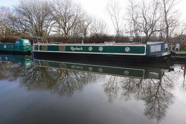
Sale Water Park Images

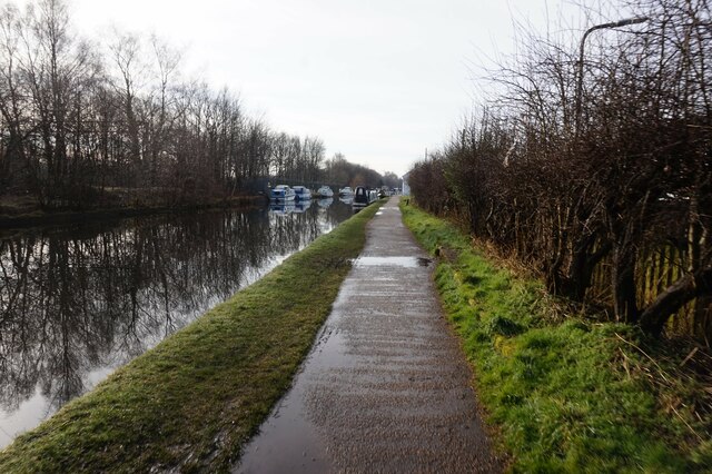
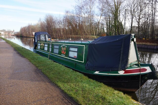
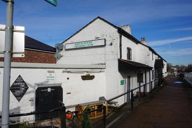
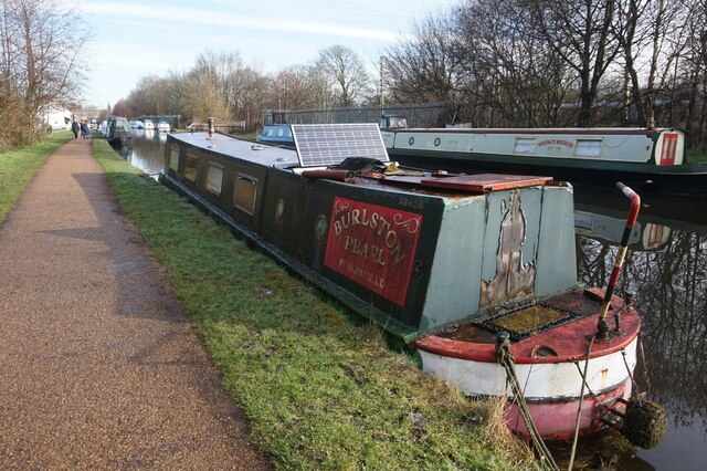
Images are sourced within 2km of 53.432592/-2.3018596 or Grid Reference SJ8092. Thanks to Geograph Open Source API. All images are credited.

Bridgewater Canal, Dane Road Often considered to be the first "true" canal, the Bridgewater Canal was commissioned by Francis Egerton, 3rd Duke of Bridgewater, to transport coal from his mines in Worsley. The section from Worsley to Manchester opened on 17th July 1761; it was later extended from Manchester to Runcorn, and then from Worsley to Leigh. Coal was needed in large quantities to fuel the industrial revolution and the canal enabled coal and other goods to be transported efficiently and cheaply to the rapidly expanding towns and cities. Its success helped inspire a period of intense canal building although it later faced intense competition from the Liverpool and Manchester Railway and the Macclesfield Canal.

The canal is connected to the Rochdale Canal (<a title="https://www.geograph.org.uk/snippet/1707" href="https://www.geograph.org.uk/snippet/1707">Link</a> ) in Manchester, the Trent and Mersey Canal at Preston Brook, south-east of Runcorn, and to the Leeds and Liverpool Canal at Leigh. It once connected with the River Mersey at Runcorn but has since been cut off by a slip road to the Silver Jubilee Bridge.

Navigable throughout its history, it is one of the few canals in Britain not to have been nationalised, and remains privately owned. Commercial traffic continued on the canal until 1974. By this time, canals were becoming more important as a leisure facility and pleasure craft now use the canal which forms part of the Cheshire Ring circular canal route.

For many years, the canal around Worsley was noted for the distinctive bright orange colouring of the water. This was a result of iron oxide from the mines tainting the water as the canal passes through Worsley. A £2.5 million remedial scheme was undertaken in 2013 to remove this colouration.

The Bridgewater Canal is owned and operated by the Manchester Ship Canal Company in conjunction with the Bridgewater Canal Trust.

<span class="nowrap"><a title="http://www.bridgewatercanal.co.uk/" rel="nofollow ugc noopener" href="http://www.bridgewatercanal.co.uk/">Link</a><img style="margin-left:2px;" alt="External link" title="External link - shift click to open in new window" src="https://s1.geograph.org.uk/img/external.png" width="10" height="10"/></span> Bridgewater Canal Company
<span class="nowrap"><a title="http://www.penninewaterways.co.uk/bridgewater/bri2.htm" rel="nofollow ugc noopener" href="http://www.penninewaterways.co.uk/bridgewater/bri2.htm">Link</a><img style="margin-left:2px;" alt="External link" title="External link - shift click to open in new window" src="https://s1.geograph.org.uk/img/external.png" width="10" height="10"/></span> Pennine Waterways
<span class="nowrap"><a title="http://en.wikipedia.org/wiki/Bridgewater_Canal" rel="nofollow ugc noopener" href="http://en.wikipedia.org/wiki/Bridgewater_Canal">Link</a><img style="margin-left:2px;" alt="External link" title="External link - shift click to open in new window" src="https://s1.geograph.org.uk/img/external.png" width="10" height="10"/></span> Wikipedia
Bridgewater Canal, Dane Road
Often considered to be the first "true" canal, the Bridgewater Canal was commissioned by Francis Egerton, 3rd Duke of Bridgewater, to transport coal from his mines in Worsley. The section from Worsley to Manchester opened on 17th July 1761; it was later extended from Manchester to Runcorn, and then from Worsley to Leigh. Coal was needed in large quantities to fuel the industrial revolution and the canal enabled coal and other goods to be transported efficiently and cheaply to the rapidly expanding towns and cities. Its success helped inspire a period of intense canal building although it later faced intense competition from the Liverpool and Manchester Railway and the Macclesfield Canal. The canal is connected to the Rochdale Canal (Link ) in Manchester, the Trent and Mersey Canal at Preston Brook, south-east of Runcorn, and to the Leeds and Liverpool Canal at Leigh. It once connected with the River Mersey at Runcorn but has since been cut off by a slip road to the Silver Jubilee Bridge. Navigable throughout its history, it is one of the few canals in Britain not to have been nationalised, and remains privately owned. Commercial traffic continued on the canal until 1974. By this time, canals were becoming more important as a leisure facility and pleasure craft now use the canal which forms part of the Cheshire Ring circular canal route. For many years, the canal around Worsley was noted for the distinctive bright orange colouring of the water. This was a result of iron oxide from the mines tainting the water as the canal passes through Worsley. A £2.5 million remedial scheme was undertaken in 2013 to remove this colouration. The Bridgewater Canal is owned and operated by the Manchester Ship Canal Company in conjunction with the Bridgewater Canal Trust. LinkExternal link Bridgewater Canal Company LinkExternal link Pennine Waterways LinkExternal link Wikipedia
Bridgewater Canal, White's Bridge (Dane Road) Often considered to be the first "true" canal, the Bridgewater Canal was commissioned by Francis Egerton, 3rd Duke of Bridgewater, to transport coal from his mines in Worsley. The section from Worsley to Manchester opened on 17th July 1761; it was later extended from Manchester to Runcorn, and then from Worsley to Leigh. Coal was needed in large quantities to fuel the industrial revolution and the canal enabled coal and other goods to be transported efficiently and cheaply to the rapidly expanding towns and cities. Its success helped inspire a period of intense canal building although it later faced intense competition from the Liverpool and Manchester Railway and the Macclesfield Canal.

The canal is connected to the Rochdale Canal (<a title="https://www.geograph.org.uk/snippet/1707" href="https://www.geograph.org.uk/snippet/1707">Link</a> ) in Manchester, the Trent and Mersey Canal at Preston Brook, south-east of Runcorn, and to the Leeds and Liverpool Canal at Leigh. It once connected with the River Mersey at Runcorn but has since been cut off by a slip road to the Silver Jubilee Bridge.

Navigable throughout its history, it is one of the few canals in Britain not to have been nationalised, and remains privately owned. Commercial traffic continued on the canal until 1974. By this time, canals were becoming more important as a leisure facility and pleasure craft now use the canal which forms part of the Cheshire Ring circular canal route.

For many years, the canal around Worsley was noted for the distinctive bright orange colouring of the water. This was a result of iron oxide from the mines tainting the water as the canal passes through Worsley. A £2.5 million remedial scheme was undertaken in 2013 to remove this colouration.

The Bridgewater Canal is owned and operated by the Manchester Ship Canal Company in conjunction with the Bridgewater Canal Trust.

<span class="nowrap"><a title="http://www.bridgewatercanal.co.uk/" rel="nofollow ugc noopener" href="http://www.bridgewatercanal.co.uk/">Link</a><img style="margin-left:2px;" alt="External link" title="External link - shift click to open in new window" src="https://s1.geograph.org.uk/img/external.png" width="10" height="10"/></span> Bridgewater Canal Company
<span class="nowrap"><a title="http://www.penninewaterways.co.uk/bridgewater/bri2.htm" rel="nofollow ugc noopener" href="http://www.penninewaterways.co.uk/bridgewater/bri2.htm">Link</a><img style="margin-left:2px;" alt="External link" title="External link - shift click to open in new window" src="https://s1.geograph.org.uk/img/external.png" width="10" height="10"/></span> Pennine Waterways
<span class="nowrap"><a title="http://en.wikipedia.org/wiki/Bridgewater_Canal" rel="nofollow ugc noopener" href="http://en.wikipedia.org/wiki/Bridgewater_Canal">Link</a><img style="margin-left:2px;" alt="External link" title="External link - shift click to open in new window" src="https://s1.geograph.org.uk/img/external.png" width="10" height="10"/></span> Wikipedia
Bridgewater Canal, White's Bridge (Dane Road)
Often considered to be the first "true" canal, the Bridgewater Canal was commissioned by Francis Egerton, 3rd Duke of Bridgewater, to transport coal from his mines in Worsley. The section from Worsley to Manchester opened on 17th July 1761; it was later extended from Manchester to Runcorn, and then from Worsley to Leigh. Coal was needed in large quantities to fuel the industrial revolution and the canal enabled coal and other goods to be transported efficiently and cheaply to the rapidly expanding towns and cities. Its success helped inspire a period of intense canal building although it later faced intense competition from the Liverpool and Manchester Railway and the Macclesfield Canal. The canal is connected to the Rochdale Canal (Link ) in Manchester, the Trent and Mersey Canal at Preston Brook, south-east of Runcorn, and to the Leeds and Liverpool Canal at Leigh. It once connected with the River Mersey at Runcorn but has since been cut off by a slip road to the Silver Jubilee Bridge. Navigable throughout its history, it is one of the few canals in Britain not to have been nationalised, and remains privately owned. Commercial traffic continued on the canal until 1974. By this time, canals were becoming more important as a leisure facility and pleasure craft now use the canal which forms part of the Cheshire Ring circular canal route. For many years, the canal around Worsley was noted for the distinctive bright orange colouring of the water. This was a result of iron oxide from the mines tainting the water as the canal passes through Worsley. A £2.5 million remedial scheme was undertaken in 2013 to remove this colouration. The Bridgewater Canal is owned and operated by the Manchester Ship Canal Company in conjunction with the Bridgewater Canal Trust. LinkExternal link Bridgewater Canal Company LinkExternal link Pennine Waterways LinkExternal link Wikipedia
Bridgewater Canal by Hawthorn Rd, Stretford
Bridgewater Canal towards Edge Lane Bridge
Bridgewater Canal at Edge Lane Bridge
Bridgewater Canal towards the M60 Bridge
Bridgewater Canal towards the M6 Bridge
Bridgewater Canal towards the M60 Bridge
Canal boat Phoenix, Bridgewater Canal
Watch House Cruising Club, Bridgewater Canal
Canal boat Burlston, Bridgewater Canal
Canal boat Thingymebob, Bridgewater Canal
Canal boat Juschillin, Bridgewater Canal
Bridgewater Canal towards the M60 Bridge
Canal boat Roebuck, Bridgewater Canal
Canal boat Abigail, Bridgewater Canal
Canal boat Fevre Dream, Bridgewater Canal
Show me another place!

Sale Water Park is located at Grid Ref: SJ8092 (Lat: 53.432592, Lng: -2.3018596)

Unitary Authority: Trafford

Police Authority: Greater Manchester

What 3 Words

///tins.fancy.sparks. Near Sale, Manchester

Nearby Locations

Sale Water Park

Related Wikis

Sale Water Park

Sale Water Park is a 152-acre (62 ha) area of parkland including a 52-acre (21 ha) artificial lake in the Metropolitan Borough of Trafford in Greater Manchester...

Chorlton Brook

Chorlton Brook is a stream in Greater Manchester, England. It heads westward through Chorlton-cum-Hardy, having been formed at the confluence of Platt...

Rookwood Cricket Ground, Sale

Rookwood Cricket Ground is a cricket ground in Sale, Greater Manchester that is the home of Sale Cricket Club. The club was founded in 1854, and the first...
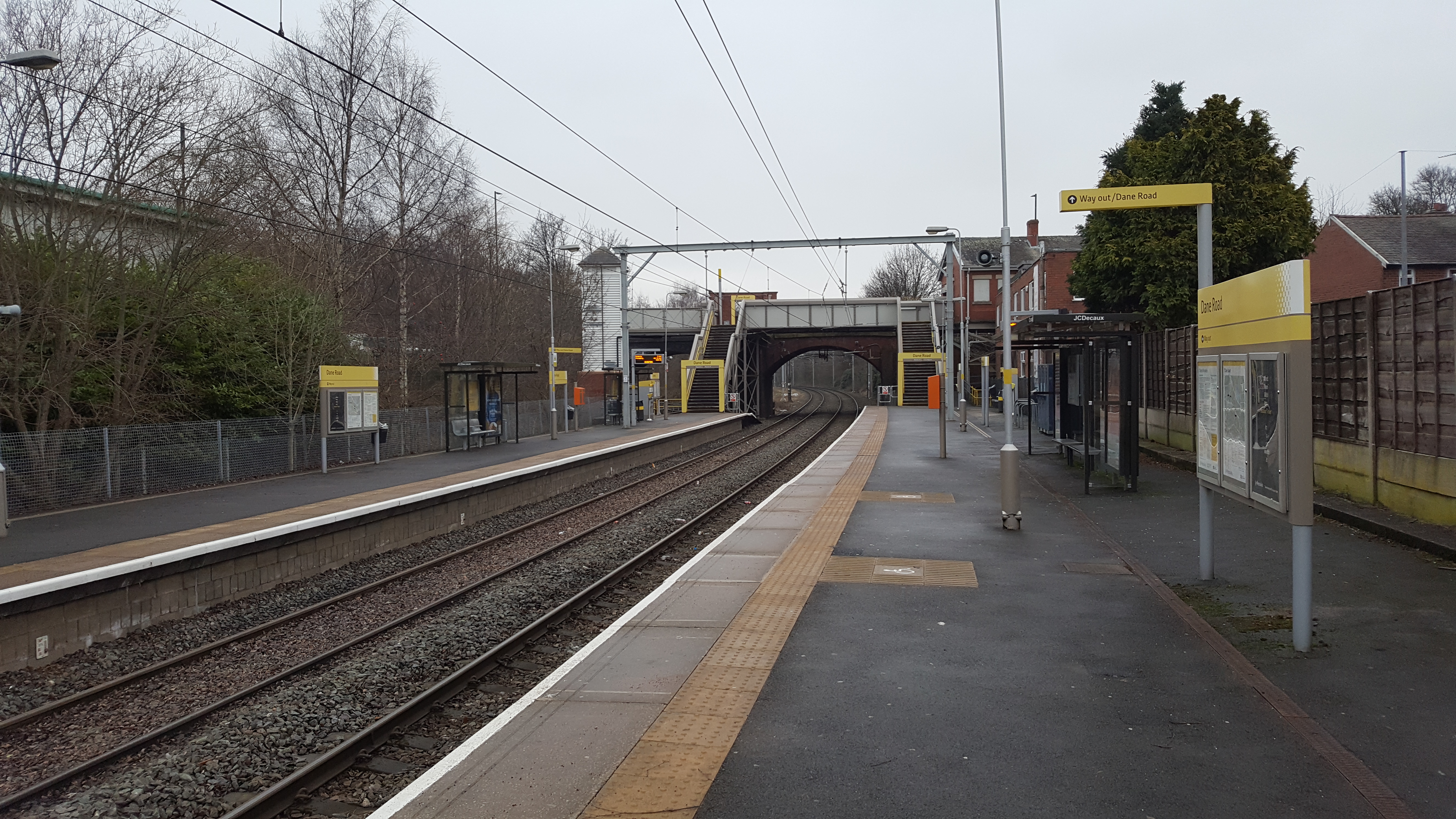
Dane Road tram stop

Dane Road is a tram stop on the Altrincham Line of Greater Manchester's Metrolink light rail system. It is located on Dane Road in northern Sale, Greater...

Nearby Amenities

Located within 500m of 53.432592,-2.3018596
Motorway Junction
Ref: 6
Lat/Long: 53.4300301/-2.2978253
Parking
Lat/Long: 53.4289529/-2.3038717
Power: tower
Lat/Long: 53.4328706/-2.3003263
Power: tower
Lat/Long: 53.4300947/-2.2964903
Power: tower
Lat/Long: 53.4353951/-2.3039727
Restaurant
Bowlers
Lat/Long: 53.4315182/-2.3002572
Priory Gardens
Natural: peak
Lat/Long: 53.4306802/-2.3054692
Defibrillator
Emergency: defibrillator
Lat/Long: 53.4316104/-2.3002785
Ford: yes
Lat/Long: 53.4299545/-2.2958418
Trafford Watersports Centre
Addr Street: Rifle Road
Leisure: water_park
Lat/Long: 53.4313693/-2.3000357
Barrier: kissing_gate
Locked: no
Material: metal
Lat/Long: 53.4309781/-2.2997898
Defibrillator
Emergency: defibrillator
Indoor: no
Lat/Long: 53.4313552/-2.3000136
OpenSwim UK
Club: sport
Operator: OpenSwim UK
Sport: swimming
Website: https://www.openswim.org.uk
Lat/Long: 53.4318699/-2.3023589
Life Ring
Emergency: life_ring
Lat/Long: 53.4315647/-2.2997778
Bench
Backrest: yes
Inscription: Loving memories of MALCOLM ERIC PICKUP 18th August 1965 - 20th August 2017 Remembering happy times spent here
Lat/Long: 53.4317241/-2.3003439
Life Ring
Emergency: life_ring
Lat/Long: 53.4309778/-2.2964289
Bench
Backrest: yes
Material: metal
Lat/Long: 53.4339383/-2.3072288
Life Ring
Emergency: life_ring
Lat/Long: 53.4319985/-2.2969601
Life Ring
Emergency: life_ring
Lat/Long: 53.4357305/-2.3070977
Waste Basket
Lat/Long: 53.4316189/-2.3008886
Life Ring
Emergency: life_ring
Lat/Long: 53.4334287/-2.3008691
Life Ring
Emergency: life_ring
Lat/Long: 53.4309938/-2.2988949
Bench
Backrest: yes
Inscription: In memory of Mrs. Cicely Merry 5th May 1932 - 28th April 2011 Trafford Councillor for 20 years Mayor of Trafford 1938-1999 A Life Well Lived
Lat/Long: 53.4317278/-2.3000983
Waste Basket
Lat/Long: 53.4319387/-2.2968492
Waste Basket
Lat/Long: 53.4316282/-2.2998541
Waste Basket
Lat/Long: 53.4326934/-2.2991743
Life Ring
Emergency: life_ring
Lat/Long: 53.4306616/-2.2962235
Life Ring
Emergency: life_ring
Lat/Long: 53.4339134/-2.3070555
Life Ring
Emergency: life_ring
Lat/Long: 53.433093/-2.3058552
Bench
Backrest: yes
Material: bench
Lat/Long: 53.432578/-2.2979516
Life Ring
Emergency: life_ring
Lat/Long: 53.4351953/-2.3036407
Life Ring
Emergency: life_ring
Lat/Long: 53.4325041/-2.2979388
Bench
Backrest: yes
Inscription: In loving memory of TOM HICKSON 5th June 1947 - 4th January 2016 Beloved Husband, Dad and Grandpere Forever missed, never forgotten. Enjoy the walk with Billy.Bob
Lat/Long: 53.4317181/-2.3005362
Life Ring
Emergency: life_ring
Lat/Long: 53.432613/-2.2989079
Life Ring
Emergency: life_ring
Lat/Long: 53.430311/-2.2969045
Waste Basket
Lat/Long: 53.4340383/-2.3008851
Bench
Backrest: yes
Material: wood
Lat/Long: 53.432548/-2.2978573
Bench
Backrest: yes
Material: metal
Lat/Long: 53.4306664/-2.296098
Waste Basket
Lat/Long: 53.4339279/-2.3073571
Waste Basket
Lat/Long: 53.4319102/-2.3032208
Life Ring
Emergency: life_ring
Lat/Long: 53.4317155/-2.3004703
Bench
Backrest: yes
Material: metal
Lat/Long: 53.4341371/-2.3010056
Life Ring
Emergency: life_ring
Lat/Long: 53.4342138/-2.3010249
Waste Basket
Lat/Long: 53.4311884/-2.2990357
Life Ring
Emergency: life_ring
Lat/Long: 53.431593/-2.3011531
The data included in this document is from www.openstreetmap.org. The data is made available under ODbL.

Have you been to Sale Water Park?

Leave your review of Sale Water Park below (or comments, questions and feedback).