Church Lake
Lake, Pool, Pond, Freshwater Marsh in Somerset Mendip
England
Church Lake
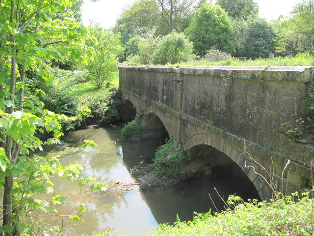
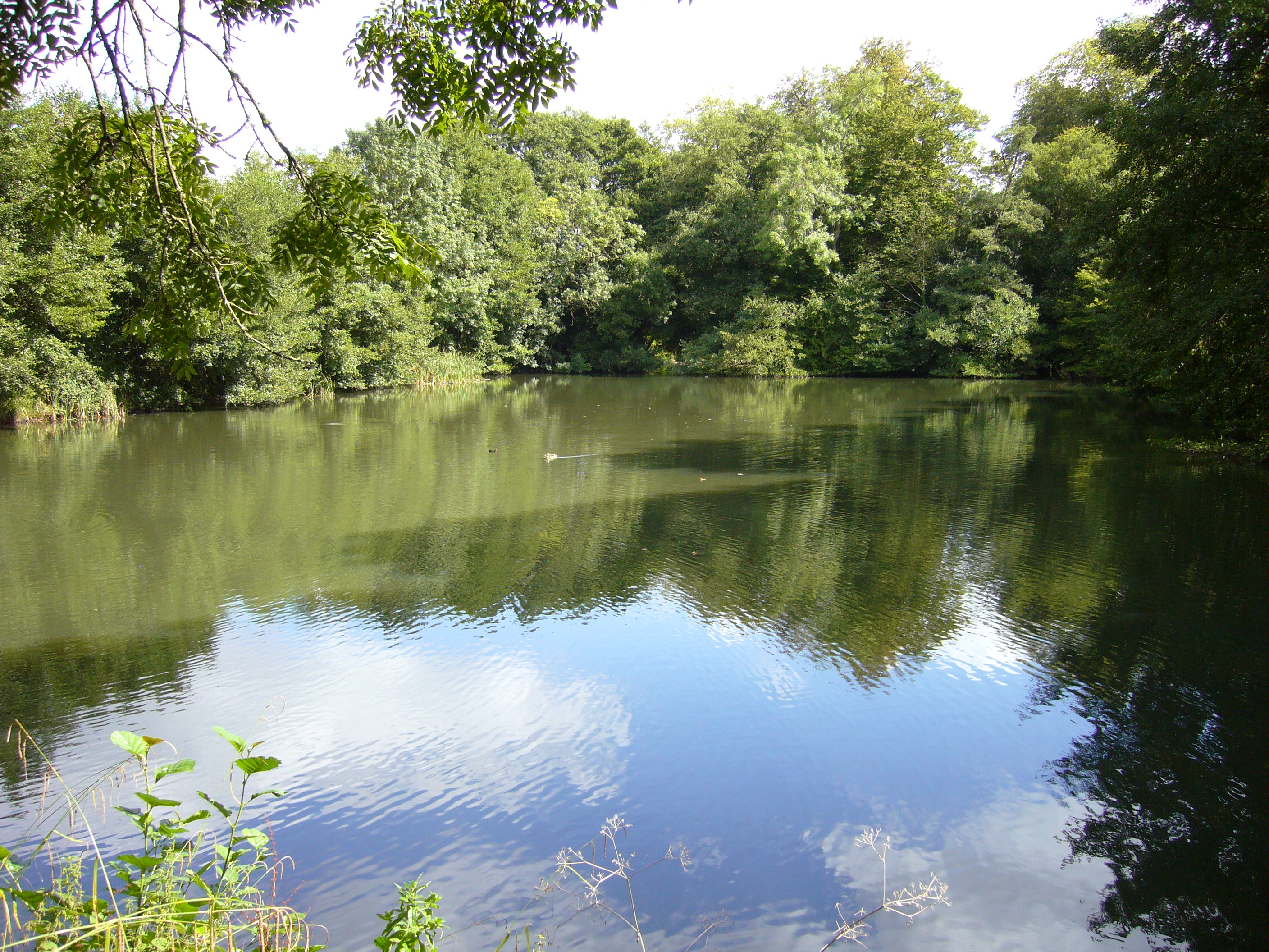
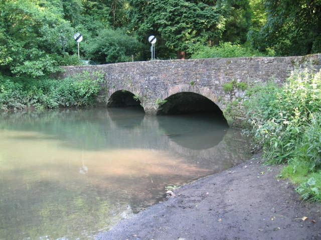
Church Lake is a picturesque freshwater lake located in Somerset, England. It covers an area of approximately 2 hectares and is surrounded by lush greenery, making it a haven for nature enthusiasts. The lake is situated in close proximity to the village of Church, hence its name.
This body of water serves multiple purposes, functioning as both a recreational spot and an important habitat for various species of flora and fauna. Its crystal-clear waters and sandy bottom make it an ideal spot for swimming and other water activities during the warmer months. The lake also attracts anglers, who come to try their luck at catching a variety of fish, including carp, pike, and perch.
Church Lake is not just a popular destination for humans; it is also home to a diverse range of wildlife. The surrounding marshland provides a suitable habitat for numerous bird species, such as herons, ducks, and swans, which can often be spotted gliding gracefully across the water's surface. In addition, the lake is teeming with aquatic plants, including water lilies and reeds, which contribute to the overall beauty and ecological richness of the area.
This tranquil oasis offers visitors a chance to escape the hustle and bustle of everyday life and immerse themselves in the serenity of nature. With its scenic views, abundant wildlife, and recreational opportunities, Church Lake is a true gem in the heart of Somerset.
If you have any feedback on the listing, please let us know in the comments section below.
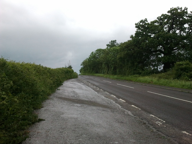
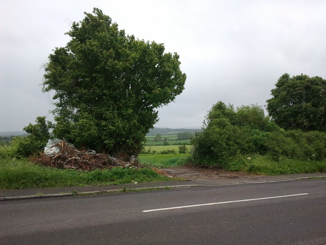
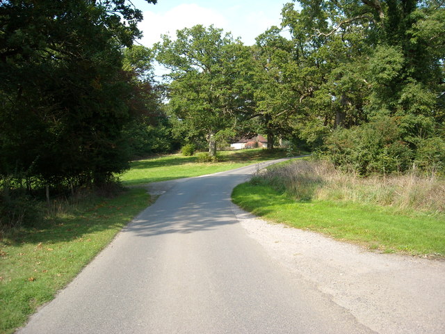
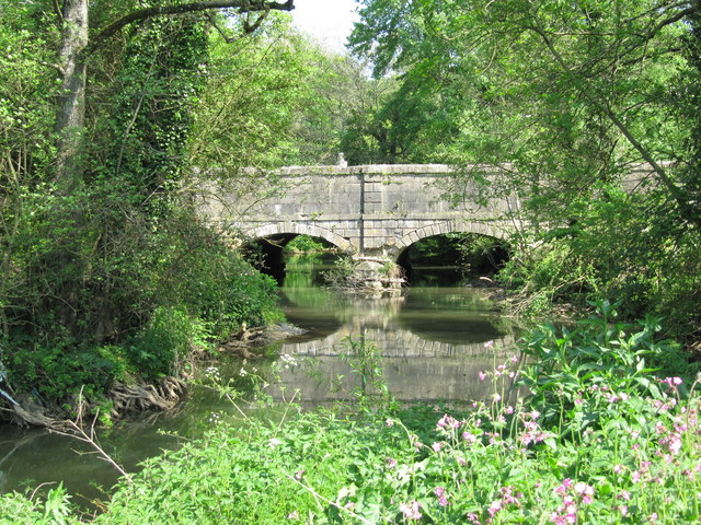
Church Lake Images
Images are sourced within 2km of 51.257468/-2.3249315 or Grid Reference ST7750. Thanks to Geograph Open Source API. All images are credited.


Church Lake is located at Grid Ref: ST7750 (Lat: 51.257468, Lng: -2.3249315)
Administrative County: Somerset
District: Mendip
Police Authority: Avon and Somerset
What 3 Words
///margin.flank.realm. Near Frome, Somerset
Nearby Locations
Related Wikis

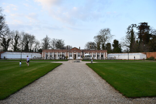
Orchardleigh Estate
Orchardleigh (also spelled Orchardlea) is a country estate in Somerset, approximately two miles north of Frome, and on the southern edge of the village...
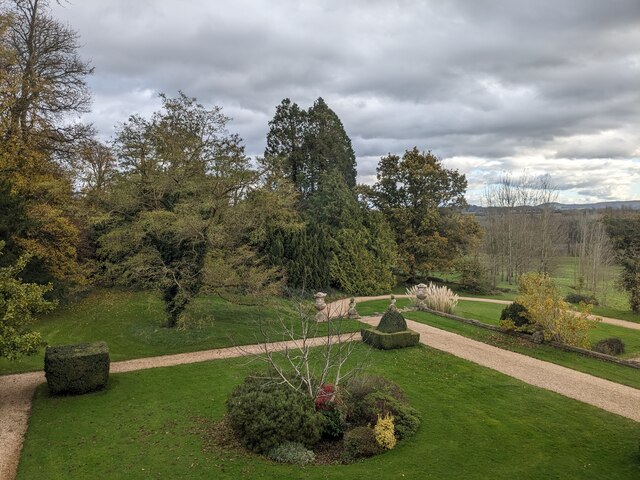
Orchardleigh Lake
Orchardleigh Lake (also spelt Orchardlea) (grid reference ST779508) is an 11.23-hectare artificial lake in the grounds of the Orchardleigh Estate, just...
Mells River
The Mells River flows through the eastern Mendip Hills in Somerset, England. It rises at Gurney Slade and flows east joining the River Frome at Frome....
Lullington, Somerset
Lullington is a village and civil parish just across the Mells River from Beckington and 2.5 miles (4.0 km) north east of Frome, in the Mendip district...

Murtry Aqueduct
Murtry Aqueduct is a three-arched aqueduct that was intended to carry the Dorset and Somerset Canal over the Mells River, near Frome in Somerset, England...
Frome Community College
Frome Community College, styled as Frome College, is a comprehensive school in Frome, Somerset, England for students aged 13 to 18. Approximately 1,200...

Buckland Dinham
Buckland Dinham is a small village near Frome in Somerset, England. The village has a population of 381. The village's main industry is farming (arable...

Church of St Mary, Laverton
The Anglican Church of St Mary in Laverton, Lullington, Somerset, England was built in the 11th century. It is a Grade II* listed building. == History... ==
Nearby Amenities
Located within 500m of 51.257468,-2.3249315Have you been to Church Lake?
Leave your review of Church Lake below (or comments, questions and feedback).