Fir Wood
Wood, Forest in Somerset Mendip
England
Fir Wood
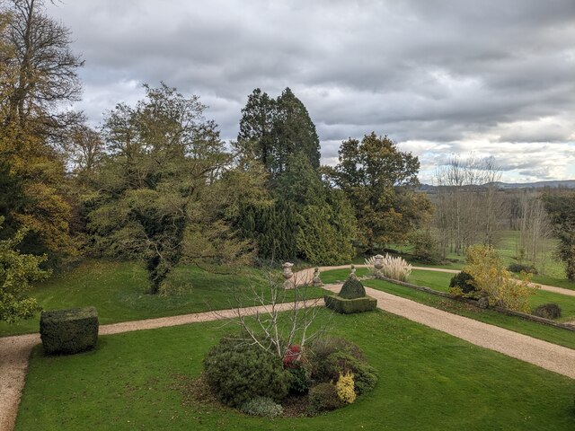
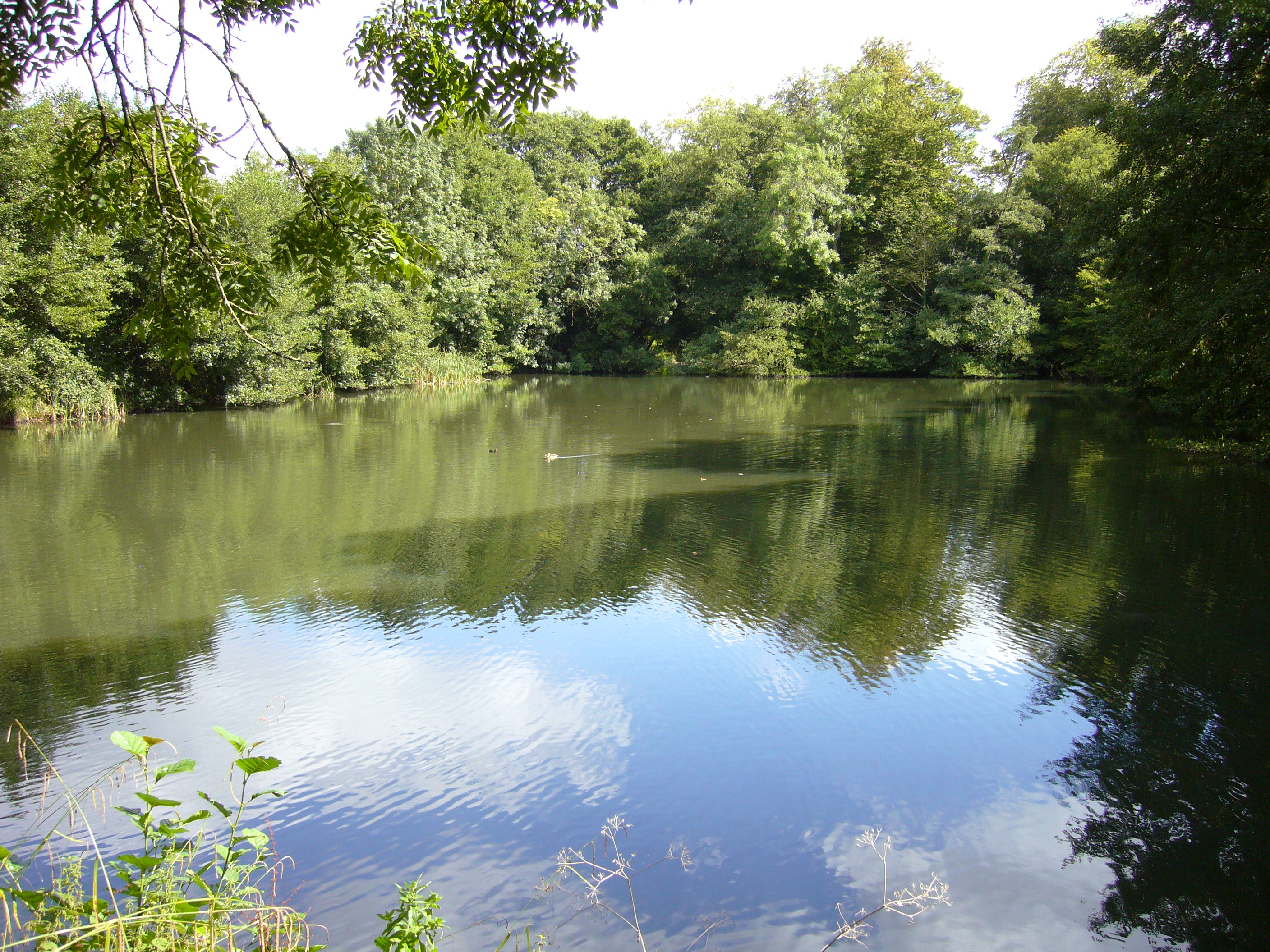
Fir Wood, located in Somerset, England, is a picturesque forest that offers visitors a serene and natural environment. Spanning over a vast area, the wood is primarily composed of fir trees, which give it its distinctive name. The wood is situated in a rural area, surrounded by rolling hills, lush meadows, and idyllic countryside.
As one enters Fir Wood, they are immediately greeted by a dense canopy of towering fir trees that create a cool and shaded atmosphere. The tall, straight trunks of the firs rise majestically towards the sky, providing a sense of awe and tranquility. The forest floor is covered in a thick layer of fallen leaves and moss, adding to the wood's enchanting allure.
The wood is home to a diverse range of wildlife, including various species of birds, mammals, and insects. Bird enthusiasts can spot owls, woodpeckers, and thrushes, among others, while lucky visitors may even catch a glimpse of deer or foxes. The tranquil setting of Fir Wood makes it an ideal location for nature walks, birdwatching, and photography.
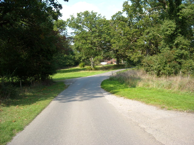
Visitors to Fir Wood can take advantage of the well-maintained footpaths and trails that meander through the forest, allowing for easy exploration of the area. The wood is also equipped with picnic areas and benches where visitors can relax and soak in the peaceful atmosphere.
Overall, Fir Wood in Somerset offers a beautiful and immersive experience in nature. Its lush vegetation, diverse wildlife, and tranquil ambience make it a haven for those seeking a break from the bustle of everyday life.
If you have any feedback on the listing, please let us know in the comments section below.
Fir Wood Images
Images are sourced within 2km of 51.252505/-2.3278052 or Grid Reference ST7750. Thanks to Geograph Open Source API. All images are credited.


Fir Wood is located at Grid Ref: ST7750 (Lat: 51.252505, Lng: -2.3278052)
Administrative County: Somerset
District: Mendip
Police Authority: Avon and Somerset
What 3 Words
///ranking.pursue.selling. Near Frome, Somerset
Nearby Locations
Related Wikis
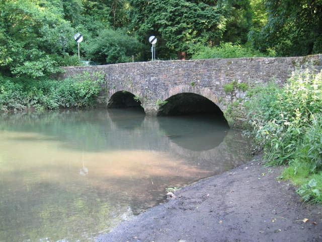
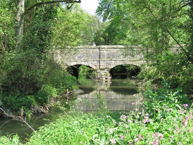
Mells River
The Mells River flows through the eastern Mendip Hills in Somerset, England. It rises at Gurney Slade and flows east joining the River Frome at Frome....
Orchardleigh Lake
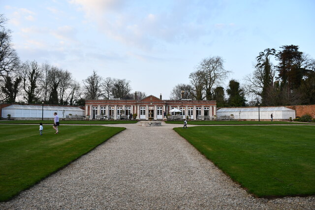
Orchardleigh Lake (also spelt Orchardlea) (grid reference ST779508) is an 11.23-hectare artificial lake in the grounds of the Orchardleigh Estate, just...

Orchardleigh Estate
Orchardleigh (also spelled Orchardlea) is a country estate in Somerset, approximately two miles north of Frome, and on the southern edge of the village...

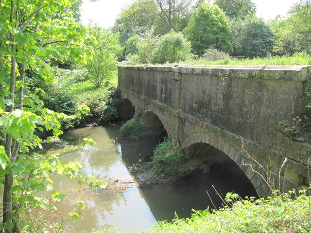
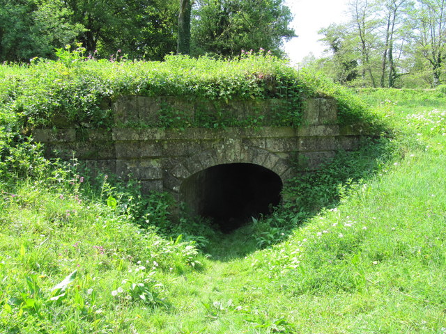
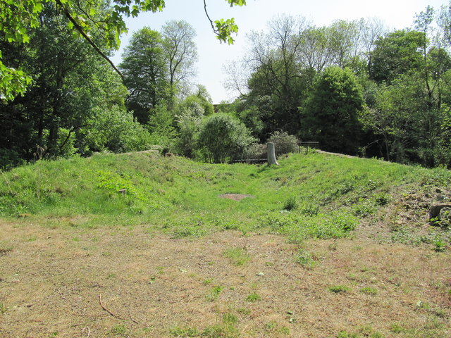
Murtry Aqueduct
Murtry Aqueduct is a three-arched aqueduct that was intended to carry the Dorset and Somerset Canal over the Mells River, near Frome in Somerset, England...
Frome Community College
Frome Community College, styled as Frome College, is a comprehensive school in Frome, Somerset, England for students aged 13 to 18. Approximately 1,200...
Lullington, Somerset
Lullington is a village and civil parish just across the Mells River from Beckington and 2.5 miles (4.0 km) north east of Frome, in the Mendip district...

St Mary's Church, Frome
St Mary's Church is a Church of England parish church in Frome, Somerset, England. It was built in 1862–1864 to the designs of C. E. Giles and is a Grade...

Buckland Dinham
Buckland Dinham is a small village near Frome in Somerset, England. The village has a population of 381. The village's main industry is farming (arable...
Nearby Amenities
Located within 500m of 51.252505,-2.3278052Have you been to Fir Wood?
Leave your review of Fir Wood below (or comments, questions and feedback).