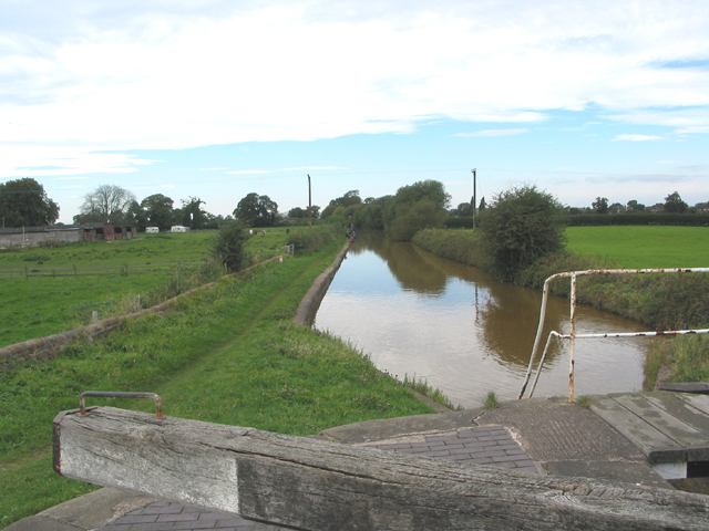
Hassall Pool
Lake, Pool, Pond, Freshwater Marsh in Cheshire
England
Hassall Pool
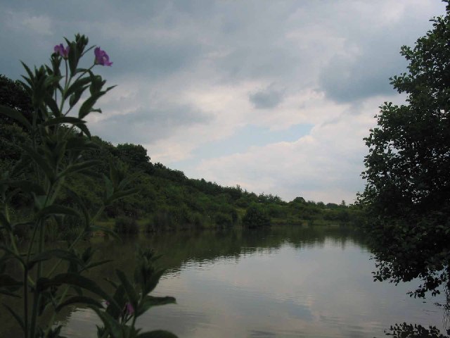
Hassall Pool is a picturesque freshwater lake located in Cheshire, England. Situated near the village of Hassall Green, this beautiful body of water covers an area of approximately 7 hectares (17 acres). The pool is a popular destination for nature enthusiasts, birdwatchers, and those seeking a tranquil escape.
Surrounded by a diverse landscape of woodlands, wetlands, and meadows, Hassall Pool offers a unique habitat for a wide variety of flora and fauna. The lake itself is home to an array of freshwater fish, including pike, perch, and roach. The surrounding marshes provide a haven for numerous species of waterfowl, such as mallards, coots, and moorhens. Birdwatchers often flock to the area to catch a glimpse of rare and migratory birds that visit the pool during different seasons.
Visitors can explore Hassall Pool via a network of footpaths and trails that wind through the surrounding countryside. The area offers several vantage points for observing the wildlife and enjoying the serene beauty of the lake. Additionally, there are designated spots for picnicking and birdwatching, allowing visitors to fully immerse themselves in the natural surroundings.
Hassall Pool is not only a haven for wildlife but also serves as an important ecological site. It acts as a natural floodplain and helps to regulate water levels during periods of heavy rainfall. The pool's marshes also play a crucial role in filtering and purifying the water, ensuring its quality for the various species that inhabit it.
Overall, Hassall Pool in Cheshire offers a tranquil and biodiverse environment for nature enthusiasts to explore and admire the wonders of freshwater ecosystems.
If you have any feedback on the listing, please let us know in the comments section below.
Hassall Pool Images
Images are sourced within 2km of 53.113884/-2.3422142 or Grid Reference SJ7757. Thanks to Geograph Open Source API. All images are credited.


Hassall Pool is located at Grid Ref: SJ7757 (Lat: 53.113884, Lng: -2.3422142)
Unitary Authority: Cheshire East
Police Authority: Cheshire
What 3 Words
///even.discussed.swordfish. Near Alsager, Cheshire
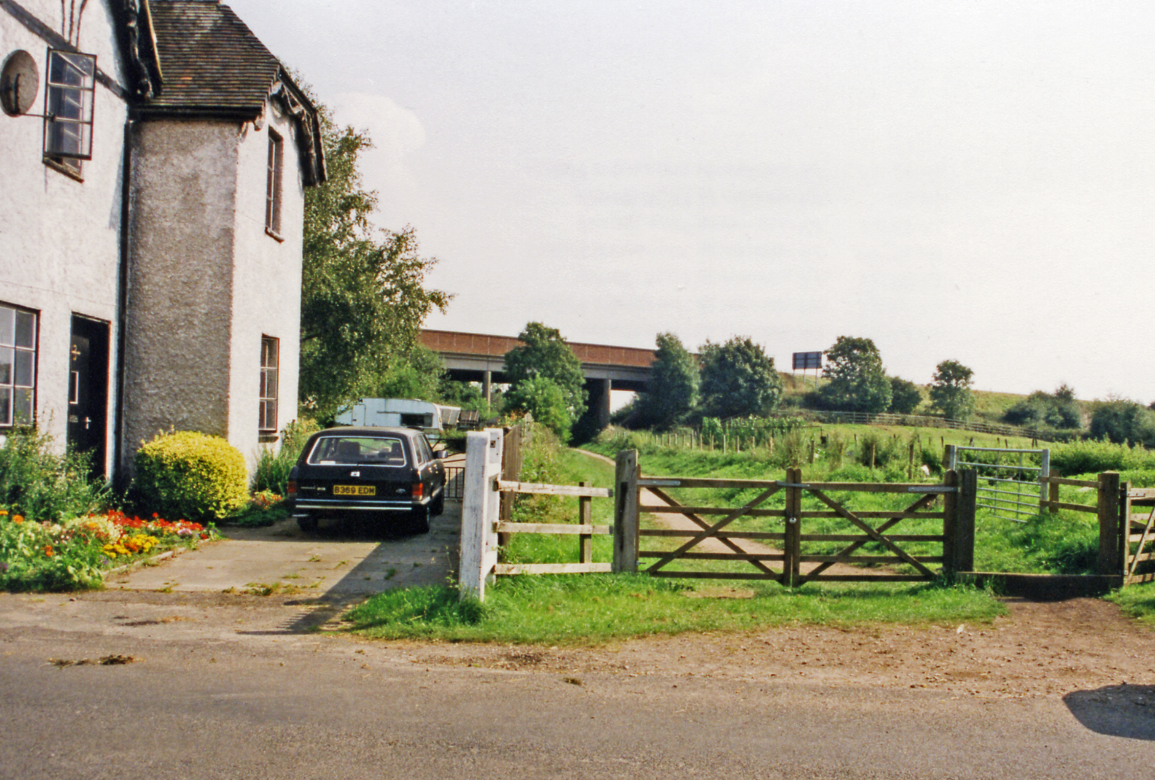
Nearby Locations
Related Wikis
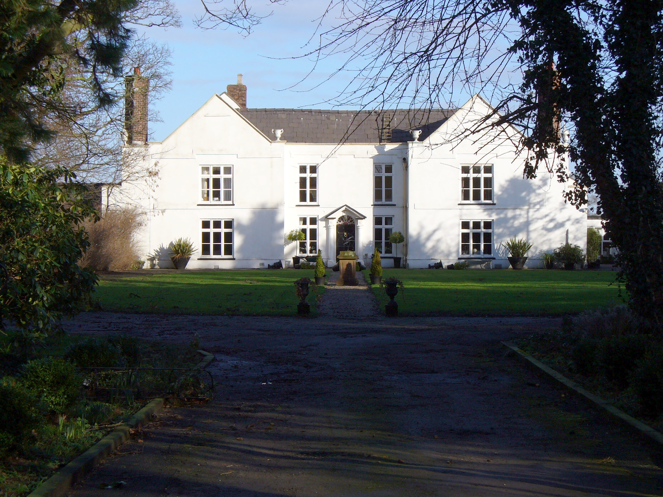
Hassall Hall
Hassall Hall is a former manor house to the east of the village of Hassall, Cheshire, England. The house dates from the 17th century, and was re-fronted...
Hassall
Hassall is a village and civil parish in the Borough of Cheshire East and the ceremonial county of Cheshire, England. The civil parish contains the very...
Hassall Green railway station
Hassall Green railway station is a disused railway station in Cheshire, England. The station was situated on the North Staffordshire Railway (NSR) branch...

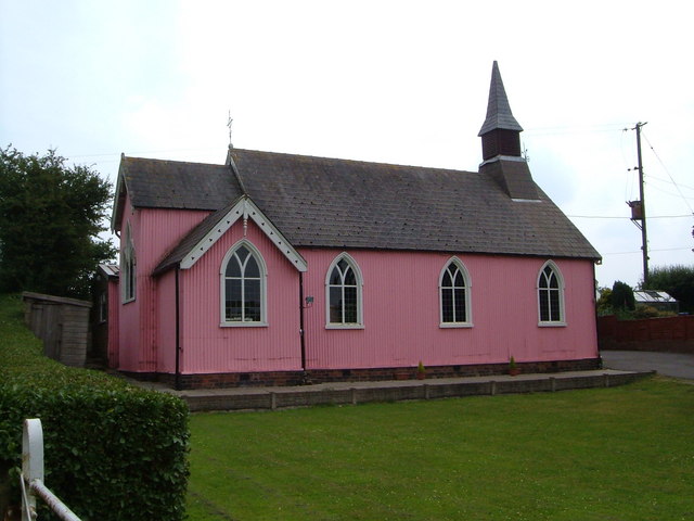
St Philip's Church, Hassall Green
St Philip's Church is in New Inn Lane, Hassall Green, Cheshire, England. It is an active Anglican church in the parish of Wheelock, the benefice of Sandbach...
Hassall Green
Hassall Green is a village in the civil parish of Betchton in the unitary authority of Cheshire East and the ceremonial county of Cheshire, England. It...

Betchton
Betchton is a civil parish in the unitary authority of Cheshire East and the ceremonial county of Cheshire, England. According to the 2001 census it had...
Betchton Heath
Betchton Heath is a village in Cheshire, England.
Alsager School
Alsager School (formerly known as Alsager Comprehensive School) is a coeducational secondary school and sixth form with academy status, located in Alsager...
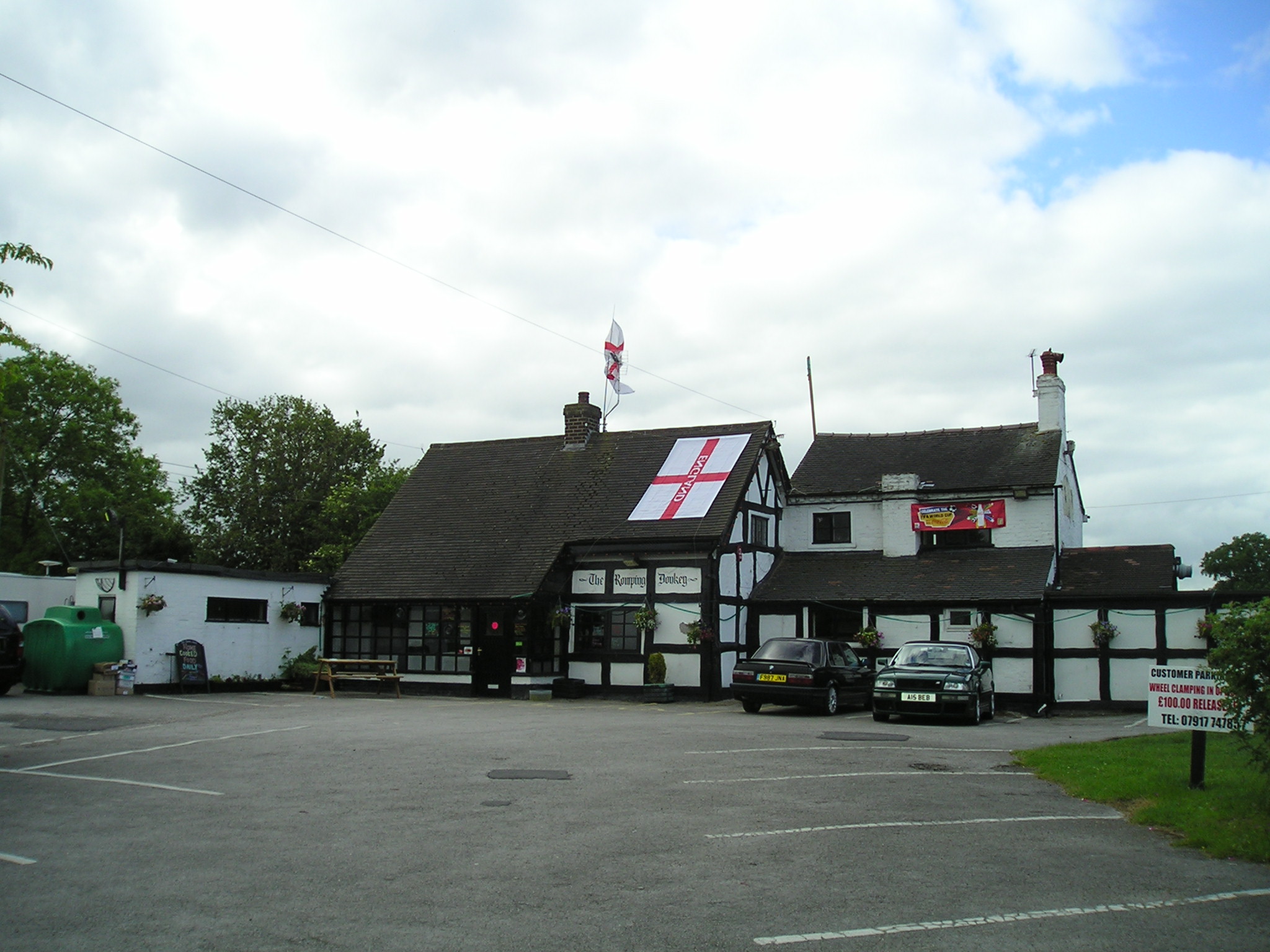
Nearby Amenities
Located within 500m of 53.113884,-2.3422142Have you been to Hassall Pool?
Leave your review of Hassall Pool below (or comments, questions and feedback).