Common, Great
Settlement in Suffolk East Suffolk
England
Common, Great
Common, Great, Suffolk is a small village located in the county of Suffolk, England. Situated about 10 miles east of the bustling town of Ipswich, Common, Great is a picturesque and charming rural settlement.
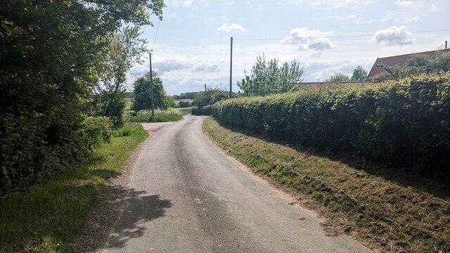
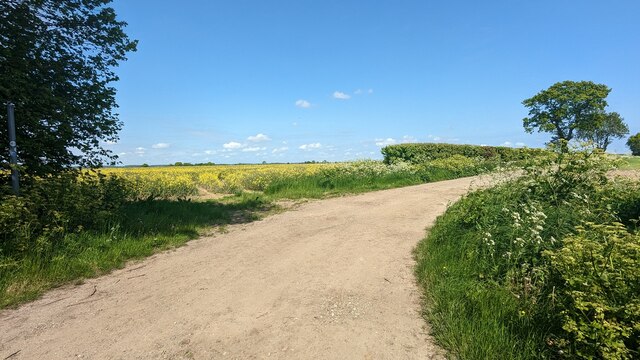
With a population of around 500 residents, the village exudes a quiet and peaceful atmosphere, making it an ideal place for those seeking a tranquil lifestyle away from the hustle and bustle of city life. The village is surrounded by lush green fields, rolling hills, and beautiful countryside, providing stunning views and a perfect setting for outdoor activities such as hiking, biking, and horse riding.
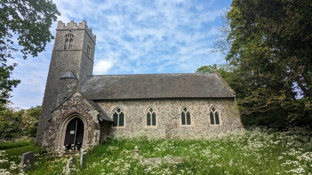
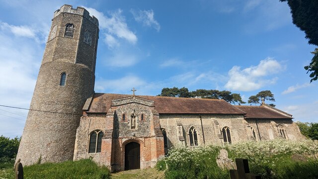
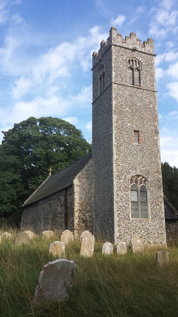
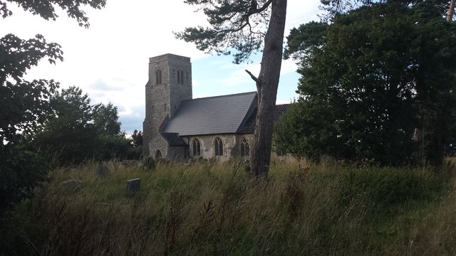
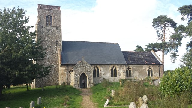
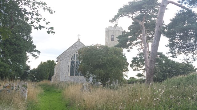
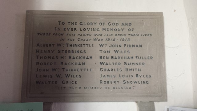
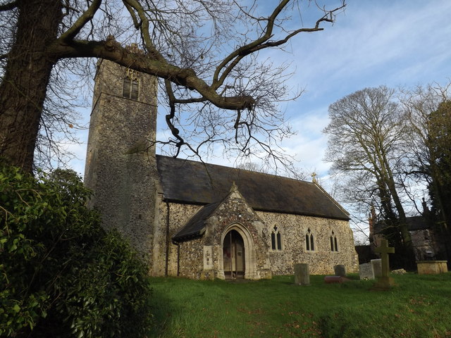
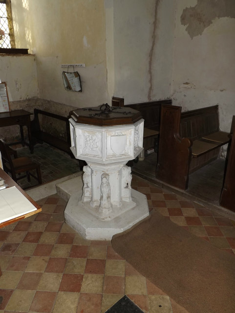
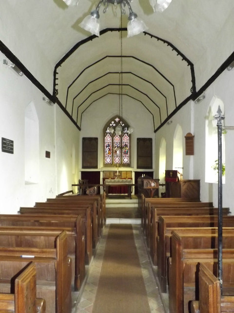
Common, Great is known for its well-preserved historic buildings, which give the village a unique character and charm. The village church, St. Mary's, dating back to the 12th century, is a prominent landmark and a testament to the rich history of the area. Other notable architectural gems include a handful of quaint thatched cottages, some of which date back several centuries.
Despite its small size, Common, Great offers a range of amenities to its residents. The village has a local pub, The Green Goose, where locals and visitors can enjoy a pint of ale and indulge in traditional British pub food. Additionally, there is a village hall, which serves as a community center for various social events and gatherings.
Overall, Common, Great, Suffolk is a hidden gem that offers a peaceful and idyllic lifestyle amidst beautiful natural surroundings and rich historical heritage. It is a perfect destination for those seeking a slower pace of life in a quintessentially English village setting.
If you have any feedback on the listing, please let us know in the comments section below.
Common, Great Images
Images are sourced within 2km of 52.429614/1.491142 or Grid Reference TM3787. Thanks to Geograph Open Source API. All images are credited.


Common, Great is located at Grid Ref: TM3787 (Lat: 52.429614, Lng: 1.491142)
Administrative County: Suffolk
District: East Suffolk
Police Authority: Suffolk
What 3 Words
///increases.sideburns.trifle. Near Bungay, Suffolk
Nearby Locations
Related Wikis

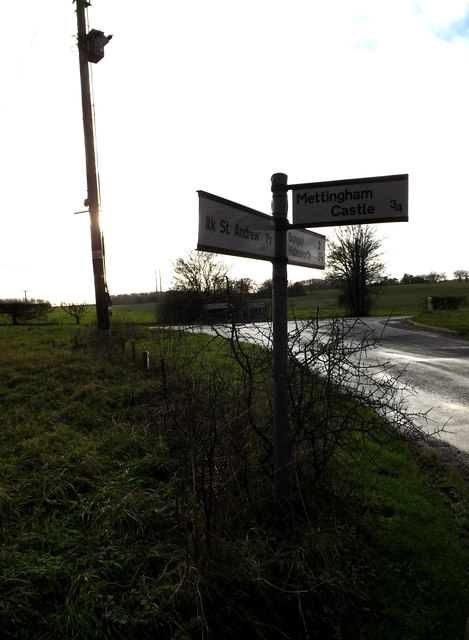
Ilketshall St Andrew
Ilketshall St Andrew is a village and civil parish in the north of the English county of Suffolk. It is 3 miles (4.8 km) south-east of Bungay and the same...
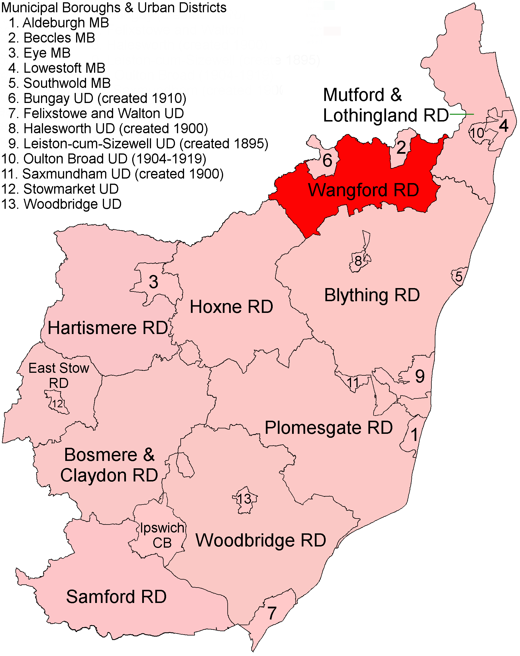
Wangford Rural District
Wangford Rural District was a rural district within the administrative county of East Suffolk between 1894 and 1934. It was created out of the earlier...

Wainford Rural District
Wainford Rural District was a rural district in East Suffolk, England, between 1934 and 1974. It was created by a merger of the disbanded Wangford Rural...

Ilketshall St John
Ilketshall St John is a village and civil parish in the East Suffolk district of the English county of Suffolk. It is 2 miles (3.2 km) south-east of the...
Nearby Amenities
Located within 500m of 52.429614,1.491142Have you been to Common, Great?
Leave your review of Common, Great below (or comments, questions and feedback).