Great Comberton

Settlement in Worcestershire Wychavon

England

Great Comberton

Turning for Great Comberton
Turning for Great Comberton Credit: Sarah Charlesworth

Great Comberton is a small village located in Worcestershire, England. It is situated near the town of Pershore and the city of Worcester. The village is known for its picturesque countryside surroundings and historic architecture.

One of the main landmarks in Great Comberton is the 12th century St. Michael and All Angels Church, which features a Norman tower and beautiful stained glass windows. The village also has a village hall, a primary school, and a pub called The Drum and Monkey.

Great Comberton is surrounded by farmland and rolling hills, making it a popular destination for hikers and nature enthusiasts. The village is also well-connected to nearby towns and cities, with regular bus services running through the area.

Overall, Great Comberton offers a quiet and peaceful setting for those looking to escape the hustle and bustle of city life. Its charming atmosphere and scenic views make it a desirable place to visit or live in Worcestershire.

If you have any feedback on the listing, please let us know in the comments section below.

Great Comberton Images

Images are sourced within 2km of 52.078634/-2.066551 or Grid Reference SO9542. Thanks to Geograph Open Source API. All images are credited.

Turning for Great Comberton
Approach to Little Comberton
St Peter's Church in Little Comberton
View North-west from Bredon Hill In this view the lake towards the left at SO 938 419 is just beyond the River Avon, which has a line of trees along it. Great Comberton (at SO 955 422) is on the far right. Fields on the right beyond Comberton are covered in fabric - this makes the view different from the way it would have appeared fifty years ago, and there are probably more bright yellow fields of rape now. The view is from the crest of Bredon Hill above a scarp.
View North-west from Bredon Hill
In this view the lake towards the left at SO 938 419 is just beyond the River Avon, which has a line of trees along it. Great Comberton (at SO 955 422) is on the far right. Fields on the right beyond Comberton are covered in fabric - this makes the view different from the way it would have appeared fifty years ago, and there are probably more bright yellow fields of rape now. The view is from the crest of Bredon Hill above a scarp.
Boundary bridge Footpath between Elmley Castle and Bricklehampton.
Boundary bridge
Footpath between Elmley Castle and Bricklehampton.
Little Comberton church Over the North Door, unusual tympanum.
Little Comberton church
Over the North Door, unusual tympanum.
Path to Old House Farm Private drive also a public path.
Path to Old House Farm
Private drive also a public path.
Footbridge by Old House Farm Paths divide on other side, three directions.
Footbridge by Old House Farm
Paths divide on other side, three directions.
Sweeping donwhill on the lane to The Combertons
Lane junction near Woollas Hall Farm
Nafford Road
Nafford Road
Glowering sky over Nafford Road
Lane scene near Lower End Farm
Open country near Lower End Farm
Muddy lane to Woodfield Farm The harvest was in progress when photographed.  Woodfield Farm is in the background.
Muddy lane to Woodfield Farm
The harvest was in progress when photographed. Woodfield Farm is in the background.
Entrance to Woodfield Farm
The lane west from Woodfield Farm
Woollas Hall, nr Great Comberton Woollas Hall stands on the northern slope of Bredon Hill with gorgeous views over the Vale of Evesham and was erected by John Hanford in 1611. In modern times it has been converted into a number of very attractive self contained residences, as have the outbuildings and the coach house. The Coach House is the dwelling in the foreground.
Woollas Hall, nr Great Comberton
Woollas Hall stands on the northern slope of Bredon Hill with gorgeous views over the Vale of Evesham and was erected by John Hanford in 1611. In modern times it has been converted into a number of very attractive self contained residences, as have the outbuildings and the coach house. The Coach House is the dwelling in the foreground.
Show me another place!

Great Comberton is located at Grid Ref: SO9542 (Lat: 52.078634, Lng: -2.066551)

Administrative County: Worcestershire

District: Wychavon

Police Authority: West Mercia

What 3 Words

///meanwhile.plunge.lookout. Near Pershore, Worcestershire

Related Wikis

Great Comberton

Great Comberton is a village in Worcestershire, England, United Kingdom. == Location == Great Comberton village is located 3 kilometres or two-and-a-half...

Little Comberton

Little Comberton is a small village in Worcestershire, England. It is located 2.5 miles (4.0 km) to the southeast of Pershore. Little Comberton has a village...

Bredon Hill Hoard

The Bredon Hill Hoard (also known as the Bredon Hill Roman Coin Hoard) is a hoard of 3,784 debased silver Roman coins discovered in June 2011 by two metal...
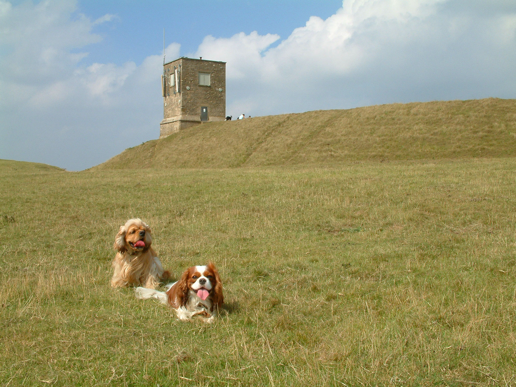
Bredon Hill

Bredon Hill is a hill in Worcestershire, England, south-west of Evesham in the Vale of Evesham. The summit of the hill is in the parish of Kemerton, and...

Nearby Amenities

Located within 500m of 52.078634,-2.066551
Great Comberton
Place: village
Source: NPE
Wikidata: Q1807218
Lat/Long: 52.0780797/-2.0674422
Hands Orchard
Naptan AtcoCode: 2000G066500
Naptan Bearing: SW
Naptan BusStopType: CUS
Naptan CommonName: Hands Orchard
Naptan Crossing: Hands Orchard
Naptan Indicator: Adj
Naptan NaptanCode: wocdwtwt
Naptan Street: Back Lane
Naptan Verified: no
Source: naptan_import
Lat/Long: 52.0797146/-2.0659141
Hands Orchard
Naptan AtcoCode: 2000G066501
Naptan Bearing: NE
Naptan BusStopType: CUS
Naptan CommonName: Hands Orchard
Naptan Crossing: Hands Orchard
Naptan Indicator: Opp
Naptan NaptanCode: wocgadad
Naptan Street: Back Lane
Naptan Verified: no
Source: naptan_import
Lat/Long: 52.079599/-2.066217
Great Comberton- The Monument
Naptan AtcoCode: 2000G066502
Naptan Bearing: NE
Naptan BusStopType: CUS
Naptan CommonName: Great Comberton- The Monument
Naptan Indicator: Adj
Naptan Landmark: War memorial
Naptan NaptanCode: wocgadag
Naptan Street: adj
Naptan Verified: no
Source: naptan_import
Lat/Long: 52.0813156/-2.0647782
Great Comberton- The Monument
Naptan AtcoCode: 2000G323234
Naptan Bearing: SW
Naptan BusStopType: CUS
Naptan CommonName: Great Comberton- The Monument
Naptan Indicator: Opp
Naptan Landmark: War Memorial
Naptan NaptanCode: wocdmajp
Naptan Street: Great Comberton- The Monument
Naptan Verified: no
Source: naptan_import
Lat/Long: 52.0812168/-2.0645737
Back lane- Church lane- Terminus
Naptan AtcoCode: 2000G323235
Naptan Bearing: N
Naptan BusStopType: CUS
Naptan CommonName: Back lane- Church lane- Terminus
Naptan Indicator: Opp
Naptan Landmark: Back Lane
Naptan NaptanCode: wocdmajt
Naptan Street: Church Lane
Naptan Verified: no
Source: naptan_import
Lat/Long: 52.0752729/-2.0663015
Barrier: stile
Lat/Long: 52.0754066/-2.0661066
Barrier: kissing_gate
Lat/Long: 52.0746846/-2.0690159
Barrier: stile
Lat/Long: 52.0765813/-2.0694033
Barrier: kissing_gate
Lat/Long: 52.0767388/-2.0673931
Post Box
Collection Times: Mo-Fr 16:30; Sa 08:30
Post Box Type: lamp
Ref: WR10 225
Royal Cypher: EIIR
Royal Cypher Wikidata: Q33102113
Source: GPS Survey
Source Ref: survey
Lat/Long: 52.079279/-2.0663068
The Monument
Historic: memorial
Man Made: cross
Memorial: war_memorial
Lat/Long: 52.08137/-2.0646922
Power: pole
Lat/Long: 52.0797012/-2.0646055
Power: pole
Lat/Long: 52.0801214/-2.0645022
Power: pole
Lat/Long: 52.0805075/-2.0637244
Power: pole
Lat/Long: 52.0808271/-2.0630835
Power: pole
Lat/Long: 52.0811169/-2.0623258
Power: pole
Lat/Long: 52.0814615/-2.0613979
Power: pole
Lat/Long: 52.0816394/-2.0630555
Sewage Pumping Station
Power: pole
Transformer: distribution
Voltage Primary: 11000
Lat/Long: 52.0821619/-2.0637912
Location Transition: yes
Power: pole
Lat/Long: 52.0824453/-2.0637961
Power: pole
Lat/Long: 52.0828072/-2.0651195
Barrier: stile
Lat/Long: 52.0761839/-2.0664768
Bench
Lat/Long: 52.0762165/-2.0711721
Barrier: stile
Lat/Long: 52.0785789/-2.0680125
Public Bookcase
Booth: K6
Colour: red
Disused Amenity: telephone
Man Made: telephone_box
Note: Library is housed in a disused red phone box
Public Bookcase Type: phone_box
Lat/Long: 52.079342/-2.0662797
Bench
Lat/Long: 52.0794265/-2.0661599
Bench
Lat/Long: 52.0760467/-2.0686564
Bench
Lat/Long: 52.0817336/-2.0705703
Power: pole
Lat/Long: 52.080997/-2.0667507
Great Comberton Boat House
Power: pole
Transformer: distribution
Voltage Primary: 11000
Lat/Long: 52.0809755/-2.0674802
Power: pole
Lat/Long: 52.0810114/-2.0661505
Power: pole
Lat/Long: 52.0810299/-2.0655584
Great Comberton War Memorial
Power: pole
Transformer: distribution
Voltage Primary: 11000
Lat/Long: 52.080861/-2.0647719
Great Comberton
Location Transition: yes
Power: pole
Transformer: distribution
Voltage Primary: 11000
Lat/Long: 52.0788194/-2.0647497
Power: pole
Lat/Long: 52.0793024/-2.0646518
Power: pole
Lat/Long: 52.0786925/-2.0678309
Reading Room Great Comberton
Power: pole
Transformer: distribution
Voltage Primary: 11000
Lat/Long: 52.0787041/-2.0689769
Power: pole
Lat/Long: 52.0789122/-2.0683815
Power: pole
Lat/Long: 52.0784605/-2.0672549
Location Transition: yes
Power: pole
Lat/Long: 52.0783896/-2.066697
Location Transition: yes
Power: pole
Lat/Long: 52.0786328/-2.0654176
Power: pole
Lat/Long: 52.0782375/-2.0659896
Power: pole
Lat/Long: 52.0782062/-2.0658374
Power: pole
Lat/Long: 52.0777364/-2.0655222
Great Comberton Church
Power: pole
Transformer: distribution
Voltage Primary: 11000
Lat/Long: 52.0768924/-2.0675439
Power: pole
Lat/Long: 52.0767436/-2.0666856
Power: pole
Lat/Long: 52.0769505/-2.0658387
Power: pole
Lat/Long: 52.0771685/-2.0650515
Power: pole
Lat/Long: 52.0756379/-2.0643816
Power: pole
Lat/Long: 52.0764621/-2.0647055
Power: pole
Lat/Long: 52.0747938/-2.0638928
Manor Farm Great Comberton
Power: pole
Transformer: distribution
Voltage Primary: 11000
Lat/Long: 52.0749733/-2.0665515
Power: pole
Lat/Long: 52.0743644/-2.0663658
Defibrillator
Emergency: defibrillator
Fixme: Check precise location
Note: Presence indicated by large sign on dide of village hall, visible from the road.
Ref GB The Circuit: E711B76C-0AF9-48B5-9CA1-725BEFB29AD3
Lat/Long: 52.0761341/-2.0685314
The data included in this document is from www.openstreetmap.org. The data is made available under ODbL.

Have you been to Great Comberton?

Leave your review of Great Comberton below (or comments, questions and feedback).