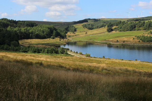
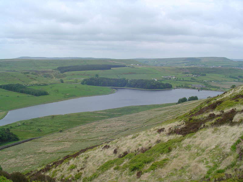
Calf Hey Reservoir

Lake, Pool, Pond, Freshwater Marsh in Lancashire Rossendale

England

Calf Hey Reservoir

Rossendale Way descending into Deep Clough After a long level stretch the Rossendale Way descends into the clough, to immediately climb up the other side.
Rossendale Way descending into Deep Clough Credit: Chris Heaton

The requested URL returned error: 429 Too Many Requests

If you have any feedback on the listing, please let us know in the comments section below.

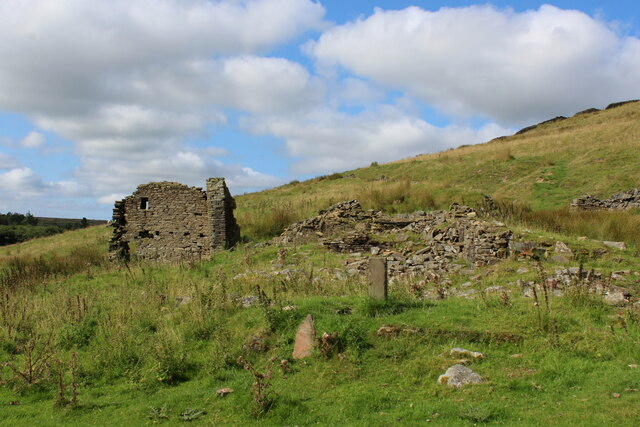
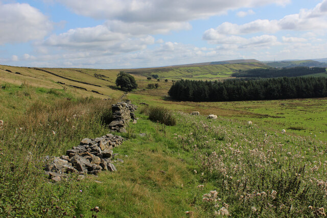
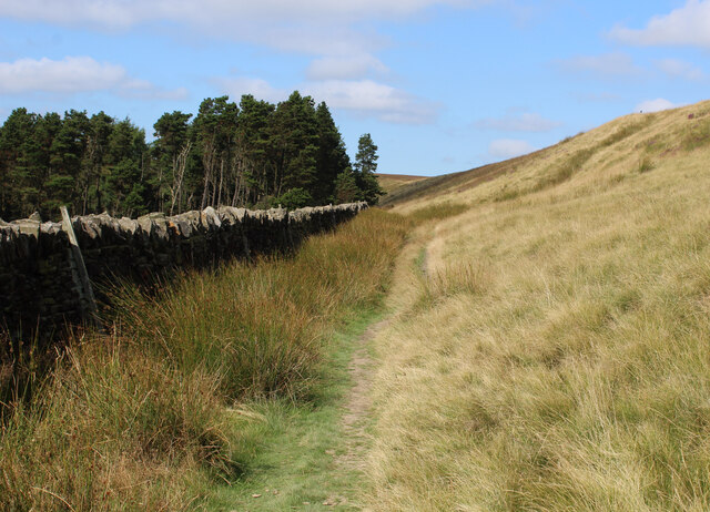
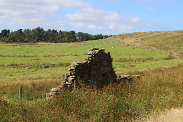
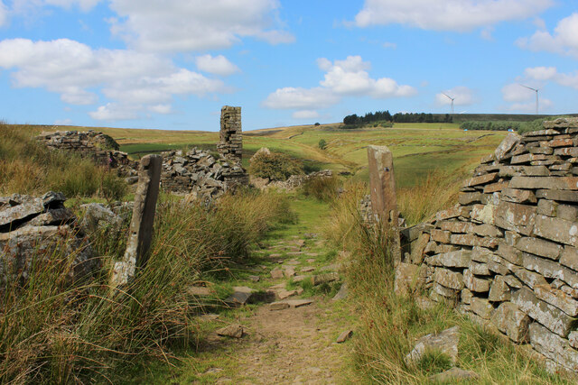
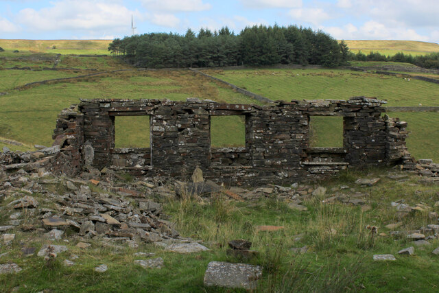
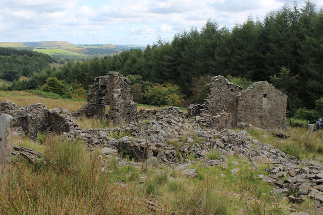
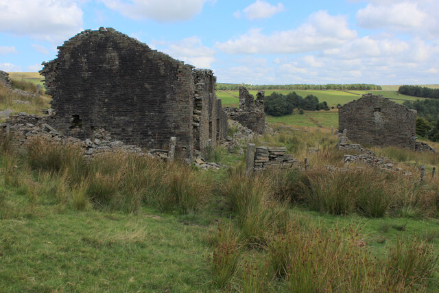
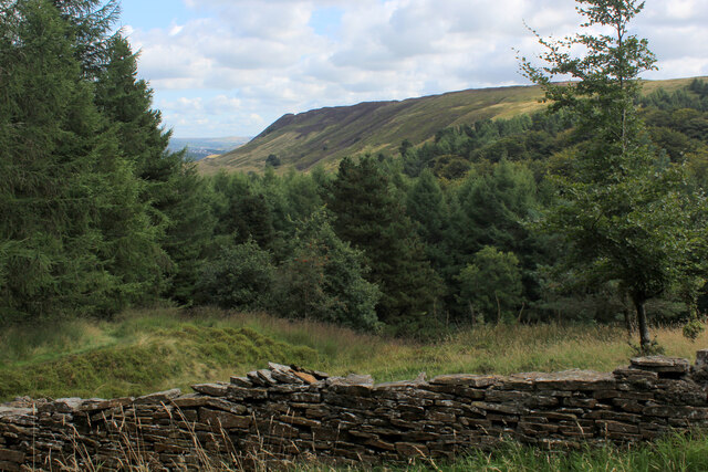
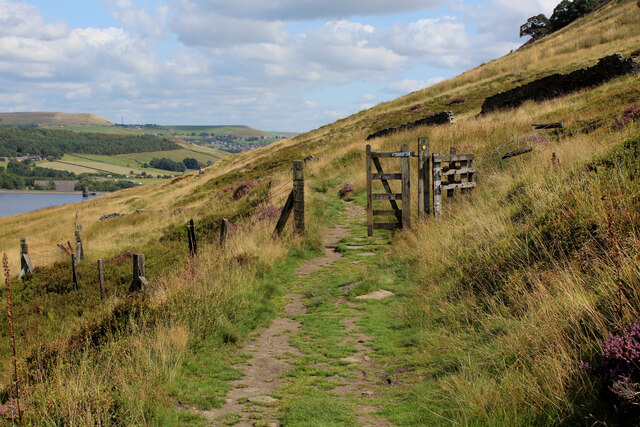
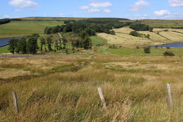
Calf Hey Reservoir Images

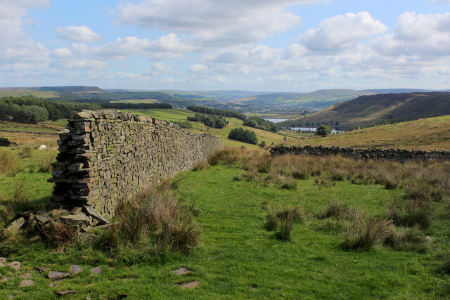
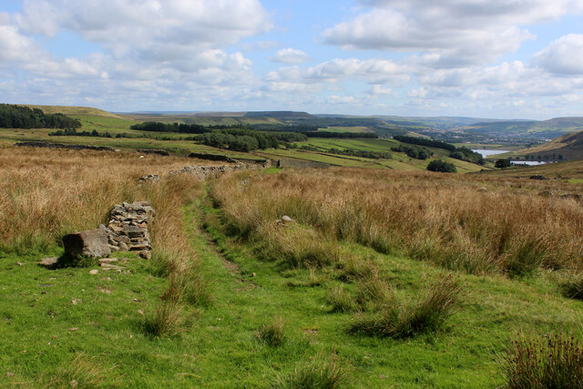
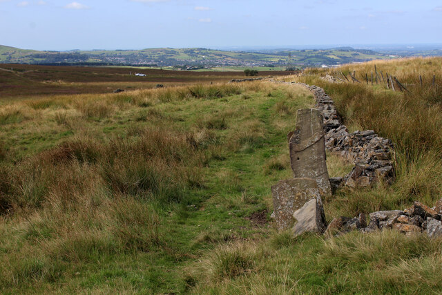
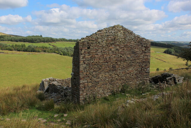
Images are sourced within 2km of 53.697908/-2.3754565 or Grid Reference SD7522. Thanks to Geograph Open Source API. All images are credited.

Rossendale Way descending into Deep Clough After a long level stretch the Rossendale Way descends into the clough, to immediately climb up the other side.
Rossendale Way descending into Deep Clough
After a long level stretch the Rossendale Way descends into the clough, to immediately climb up the other side.
Deep Clough Short watercourse smothered in vegetation, draining off Haslingden Moor into Jamestone Quarry and onto Ogden Reservoir
Deep Clough
Short watercourse smothered in vegetation, draining off Haslingden Moor into Jamestone Quarry and onto Ogden Reservoir
Rossendale Way passing a Ruined Farmhouse The upper reaches of the Ogden Valley is littered with the ruins of many buildings.
Rossendale Way passing a Ruined Farmhouse
The upper reaches of the Ogden Valley is littered with the ruins of many buildings.
Rossendale Way below Nab Hill A 41 mile circular high level route that roughly follows the boundary of Rossendale Borough.
Yellow indicators stamped with an "RW" logo in green leads the walker around the environs of Bacup, Rawtenstall, Haslingden and Whitworth.
Rossendale Way below Nab Hill
A 41 mile circular high level route that roughly follows the boundary of Rossendale Borough. Yellow indicators stamped with an "RW" logo in green leads the walker around the environs of Bacup, Rawtenstall, Haslingden and Whitworth.
Approaching Plantation below Nab Hill Following the Rossendale Way long distance footpath westwards in the upper reaches of Grane Valley.
Approaching Plantation below Nab Hill
Following the Rossendale Way long distance footpath westwards in the upper reaches of Grane Valley.
Ruin in the Upper Grane Valley One of many ruins that dot the landscape that constitutes the upper reaches of the River Ogden - very little left of this one.
Ruin in the Upper Grane Valley
One of many ruins that dot the landscape that constitutes the upper reaches of the River Ogden - very little left of this one.
Descending into the Grane Valley (1) Public footpath follows the substantial wall into the head of the Grane Valley - which contains the River Ogden.
Descending into the Grane Valley (1)
Public footpath follows the substantial wall into the head of the Grane Valley - which contains the River Ogden.
Descending into the Grane Valley (2) Footpath descending into the head of the Grane Valley, although it is not visible on the ground - so attention needs to be concentrated on the map.
Descending into the Grane Valley (2)
Footpath descending into the head of the Grane Valley, although it is not visible on the ground - so attention needs to be concentrated on the map.
Footpath heading towards Broadhead Road
Ruins of Peak House, Haslingden Grane Part of Grane Village, once a thriving community of over a thousand souls involved with farming, quarrying and illicit whisky distillation.
The construction of the 3 reservoirs sounded the death knell, depopulating the valley and leaving behind many ruined buildings
Ruins of Peak House, Haslingden Grane
Part of Grane Village, once a thriving community of over a thousand souls involved with farming, quarrying and illicit whisky distillation. The construction of the 3 reservoirs sounded the death knell, depopulating the valley and leaving behind many ruined buildings
Rossendale Way in Haslingden Grane The long distance footpath in the deserted ruins of Grane Village, a once thriving community depopulated after the construction of the three reservoirs.
Rossendale Way in Haslingden Grane
The long distance footpath in the deserted ruins of Grane Village, a once thriving community depopulated after the construction of the three reservoirs.
Ruins of Close Bottom, Haslingden Grane One of many ruins dotted hereabouts, that once made up the community of Grane Village.
Now abandoned and deserted, after the construction of 3 reservoirs along the River Ogden.
Ruins of Close Bottom, Haslingden Grane
One of many ruins dotted hereabouts, that once made up the community of Grane Village. Now abandoned and deserted, after the construction of 3 reservoirs along the River Ogden.
Ruins of Top o' th' Knoll, Haslingden Grane (1) Once substantial premises in the now abandoned Grane Village, passed by on the Rossendale Way.
Ruins of Top o' th' Knoll, Haslingden Grane (1)
Once substantial premises in the now abandoned Grane Village, passed by on the Rossendale Way.
Ruins of Top o' th' Knoll, Haslingden Grane (2) Part of the now deserted community of the once thriving Grane Village - a former farming, quarrying and illicit whisky distillation centre in the upper Ogden Valley
Ruins of Top o' th' Knoll, Haslingden Grane (2)
Part of the now deserted community of the once thriving Grane Village - a former farming, quarrying and illicit whisky distillation centre in the upper Ogden Valley
Grane Head In the plantations above Calf Hey Reservoir
Grane Head
In the plantations above Calf Hey Reservoir
Rossendale Way above Calf Hey Reservoir The long distance footpath in the Ogden Valley
Rossendale Way above Calf Hey Reservoir
The long distance footpath in the Ogden Valley
Calf Hey Reservoir The uppermost of three reservoirs in the Ogden Valley, as seen from the Rossendale Way.
Calf Hey Reservoir
The uppermost of three reservoirs in the Ogden Valley, as seen from the Rossendale Way.
Looking across the Ogden Valley Looking north from the Rossendale Way
Looking across the Ogden Valley
Looking north from the Rossendale Way
Show me another place!

Calf Hey Reservoir is located at Grid Ref: SD7522 (Lat: 53.697908, Lng: -2.3754565)

Administrative County: Lancashire

District: Rossendale

Police Authority: Lancashire

What 3 Words

///scrambles.dockers.fracture. Near Haslingden, Lancashire

Nearby Locations

Calf Hey Reservoir

Related Wikis

Calf Hey Reservoir

Calf Hey Reservoir is a reservoir in Haslingden Grane, close to the town of Haslingden, in the Borough of Rossendale, England. It was the first of three...

Haslingden Grane

Haslingden Grane is the glaciated upper portion of the valley of the River Ogden, which lies west of Haslingden and is in the north east section of the...

Musbury Valley

The Musbury Valley is a small valley in the Helmshore area of Rossendale Valley, Lancashire. Musbury Brook flows through its length, and its south side...

Yate and Pickup Bank

Yate and Pickup Bank is a civil parish in the borough of Blackburn with Darwen, Lancashire, England. The population of the civil parish taken at the census...

Nearby Amenities

Located within 500m of 53.697908,-2.3754565
Barrier: kissing_gate
Locked: no
Lat/Long: 53.7010661/-2.3734112
Waterway: weir
Lat/Long: 53.6959364/-2.3786311
Waterway: weir
Lat/Long: 53.6959712/-2.3785717
Waterway: weir
Lat/Long: 53.6959984/-2.378551
Waterway: weir
Lat/Long: 53.6960094/-2.3784977
Waterway: weir
Lat/Long: 53.696067/-2.3784249
Waterway: weir
Lat/Long: 53.6962292/-2.3812929
Waterway: weir
Lat/Long: 53.6963208/-2.3809776
Waterway: weir
Lat/Long: 53.6963537/-2.3806138
Parking
Fee: yes
Opening Hours: 08:00-17:00
Parking: surface
Lat/Long: 53.7011594/-2.3732878
Information: board
Tourism: information
Lat/Long: 53.7010596/-2.3733451
Bench: yes
Leisure: picnic_table
Lit: no
Material: wood
Lat/Long: 53.7016703/-2.3728334
Hartley House
Board Type: history
Direction: 90
Information: board
Tourism: information
Lat/Long: 53.699779/-2.3780417
Tourism: picnic_site
Lat/Long: 53.7001804/-2.3742913
Historic: yes
Pipeline: valve
Lat/Long: 53.699708/-2.3741912
Waterway: weir
Lat/Long: 53.6961333/-2.3784137
Bench
Lat/Long: 53.6999034/-2.376597
Bench
Lat/Long: 53.6999836/-2.3761571
Bench
Backrest: no
Material: metal
Lat/Long: 53.7000916/-2.3753122
Bench
Lat/Long: 53.6987217/-2.3819579
Barrier: kissing_gate
Locked: no
Lat/Long: 53.6984189/-2.382222
The data included in this document is from www.openstreetmap.org. The data is made available under ODbL.

Have you been to Calf Hey Reservoir?

Leave your review of Calf Hey Reservoir below (or comments, questions and feedback).