Rushy Pond
Lake, Pool, Pond, Freshwater Marsh in Dorset
England
Rushy Pond
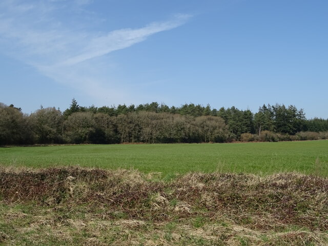
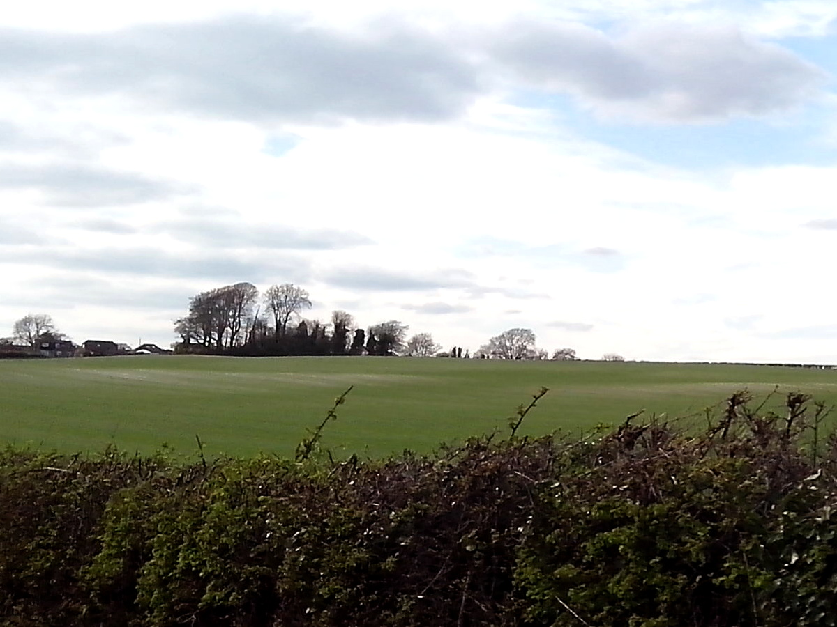
Rushy Pond, located in Dorset, is a picturesque freshwater body surrounded by lush greenery and serene landscapes. It is often classified as a lake, pool, pond, or freshwater marsh, as its shallow depth and abundance of aquatic vegetation make it a unique and diverse ecosystem.
Spanning an area of approximately 10 acres, Rushy Pond offers a tranquil retreat for both nature enthusiasts and wildlife. The pond is known for its crystal-clear waters, which are fed by nearby streams and underground springs. This constant flow of freshwater supports a wide variety of aquatic life, including fish, amphibians, and waterfowl.
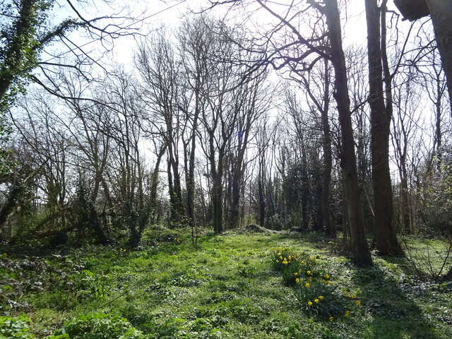
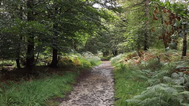
The surrounding marshland is abundant with reeds, cattails, and other wetland plants that provide essential habitat and breeding ground for a plethora of bird species. Birdwatchers frequent Rushy Pond to catch glimpses of rare and migratory birds, such as herons, swans, and ducks. The pond also attracts dragonflies and damselflies, which flit above the water's surface, adding to the area's natural charm.
Rushy Pond is a popular spot for recreational activities such as fishing, boating, and wildlife photography. Anglers can find a variety of fish species, including trout, perch, and pike, making it an ideal destination for fishing enthusiasts.
Surrounded by rolling hills and verdant countryside, Rushy Pond offers a peaceful and idyllic setting for visitors to enjoy the beauty of nature. Whether it's watching a stunning sunset over the tranquil waters or spotting wildlife in their natural habitat, Rushy Pond in Dorset provides a haven for both nature lovers and those seeking a moment of tranquility amidst the hustle and bustle of daily life.
If you have any feedback on the listing, please let us know in the comments section below.
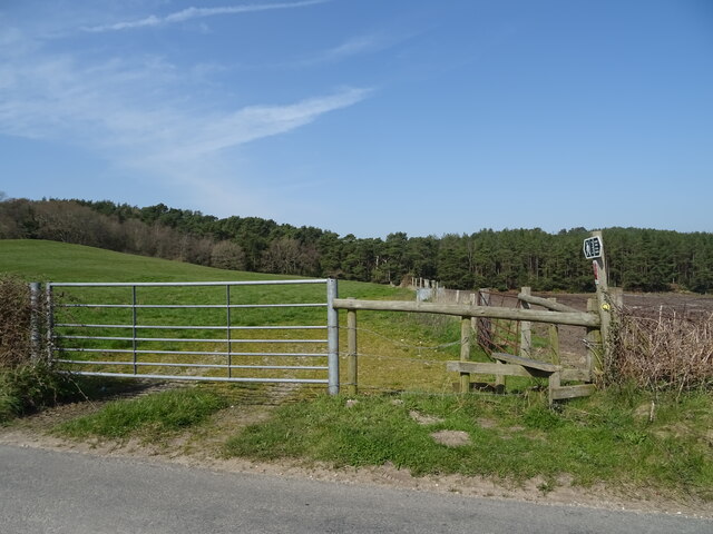
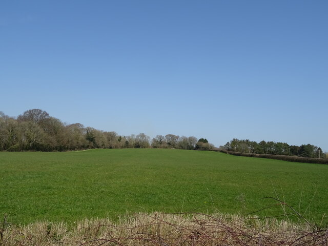
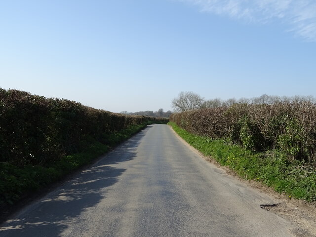
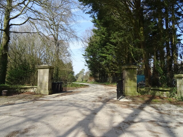
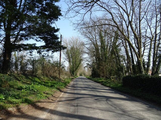
Rushy Pond Images
Images are sourced within 2km of 50.728716/-2.3831445 or Grid Reference SY7392. Thanks to Geograph Open Source API. All images are credited.


Rushy Pond is located at Grid Ref: SY7392 (Lat: 50.728716, Lng: -2.3831445)
Unitary Authority: Dorset
Police Authority: Dorset
What 3 Words
///disengage.added.roadmap. Near Puddletown, Dorset
Nearby Locations
Related Wikis

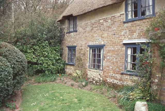
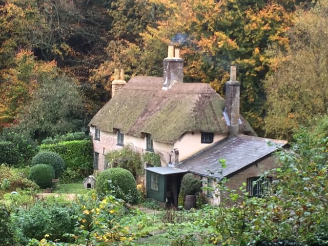
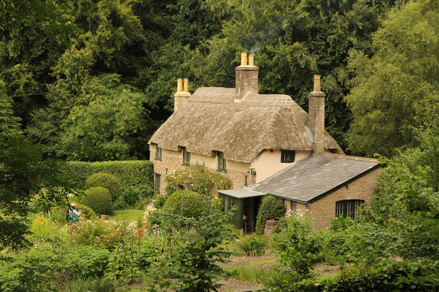
Thomas Hardy's Cottage
Thomas Hardy's Cottage, in Higher Bockhampton, Dorset, is a small cob and thatch building that is the birthplace of the English author Thomas Hardy. He...
Kingston Maurward College
Kingston Maurward College is a college for land-based studies situated two miles east of Dorchester, Dorset, England. The college is a member of the Landex...
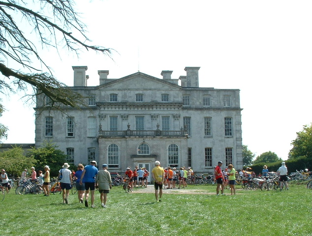
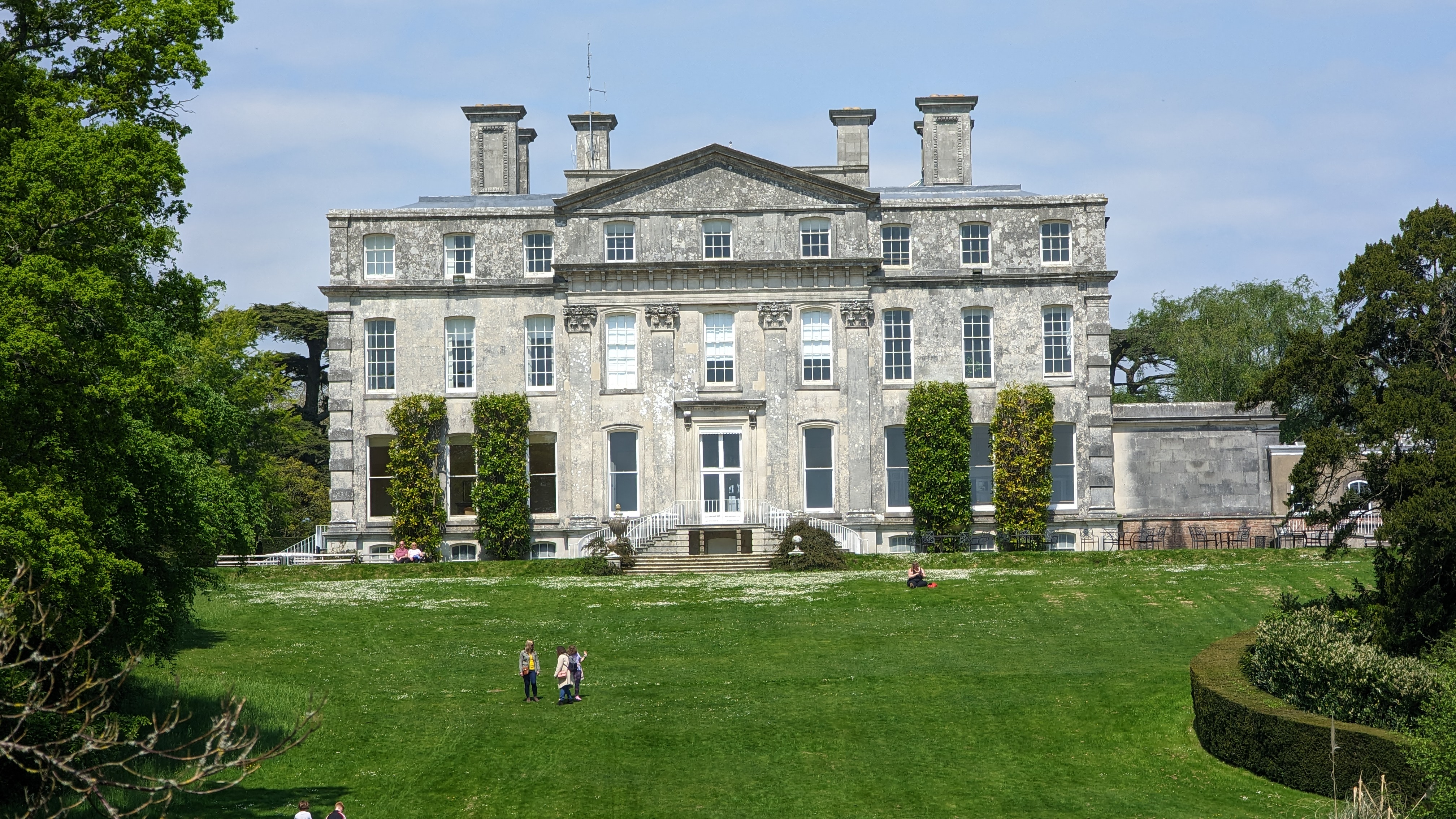
Kingston Maurward House
Kingston Maurward House is a large Grade I listed Georgian English country house set in a 750-acre (3 square km) estate in Dorset situated in the Frome...

Stinsford
Stinsford is a village and civil parish in southwest Dorset, England, about 1 mile (1.6 km) east of Dorchester. The parish includes the settlements of...

Frome Billet
Frome Billet is a former village in Dorset, just to the north of West Stafford.It is mentioned in the Domesday Book. There is slight archaeological evidence...

West Stafford
West Stafford is a village and civil parish in southwest Dorset, England, situated in the Frome valley 2 miles (3.2 km) east of Dorchester. In the 2011...
Mount Pleasant henge
Mount Pleasant henge is a Neolithic henge enclosure in the English county of Dorset. It lies southeast of Dorchester in the civil parish of West Stafford...

Waterston Manor
Waterston Manor, Puddletown, Dorset is a manor house with 17th century origins, that was extensively rebuilt after a fire in 1863 and remodelled in 1911...
Nearby Amenities
Located within 500m of 50.728716,-2.3831445Have you been to Rushy Pond?
Leave your review of Rushy Pond below (or comments, questions and feedback).