West Baugh Fell Tarn

Lake, Pool, Pond, Freshwater Marsh in Yorkshire South Lakeland

England

West Baugh Fell Tarn

The summit of Knoutberry Haw Fine views towards the Howgills.
The summit of Knoutberry Haw Credit: steven ruffles

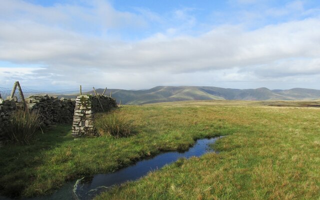
West Baugh Fell Tarn is a picturesque freshwater lake located in the region of Yorkshire, England. Situated amidst the stunning landscape of the West Baugh Fell, the tarn is a natural gem that attracts visitors from far and wide.

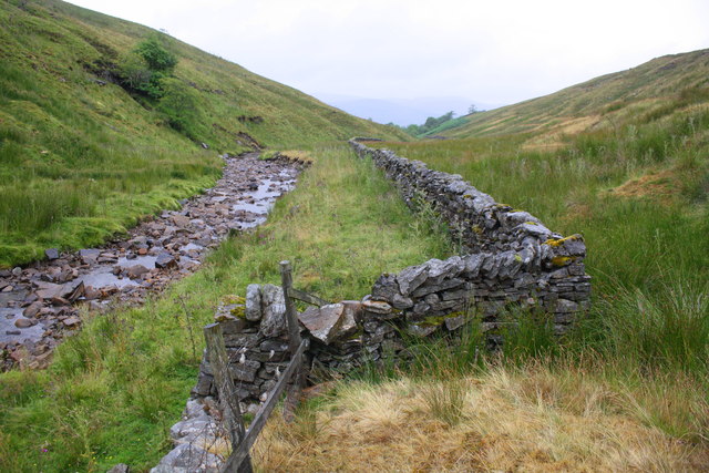
Covering an area of approximately 5 acres, the tarn is nestled within a hilly terrain, offering breathtaking views of the surrounding countryside. Its serene and tranquil atmosphere makes it a popular destination for nature enthusiasts, hikers, and photographers alike.

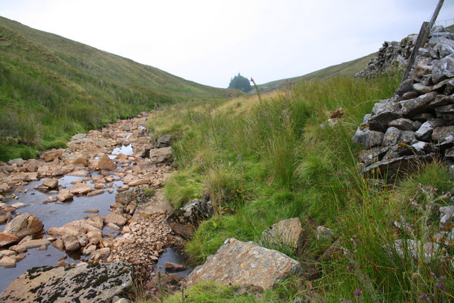
The tarn is formed by a combination of natural springs and rainwater runoff, ensuring a constant flow of freshwater. Its crystal-clear waters are home to a variety of aquatic flora and fauna, making it a haven for biodiversity. Fish species like brown trout can be found in abundance, making it a popular spot for anglers.

Surrounded by lush greenery and wildflowers, the tarn is a haven for birdlife as well. Visitors can often spot a range of bird species, including waterfowl such as ducks and swans, as well as smaller birds like warblers and finches.

The tarn is also surrounded by a freshwater marsh, which adds to its ecological significance. The marshland is home to a diverse range of plants, including reeds and rushes, providing a natural habitat for numerous insect and amphibian species.

With its idyllic setting and rich biodiversity, West Baugh Fell Tarn offers visitors a chance to connect with nature and experience the beauty of the Yorkshire countryside. Whether for a leisurely stroll, birdwatching, or simply to enjoy the tranquility of the surroundings, this hidden gem is sure to captivate all who visit.

If you have any feedback on the listing, please let us know in the comments section below.

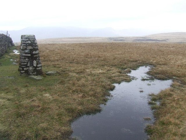
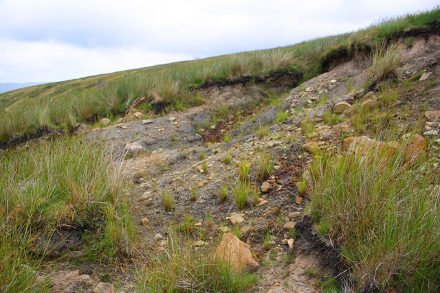
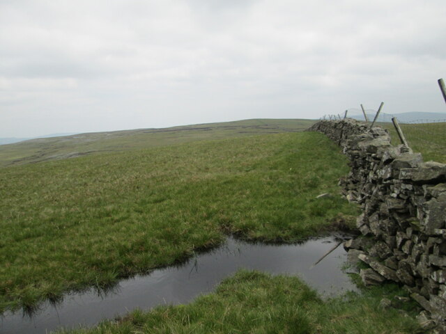
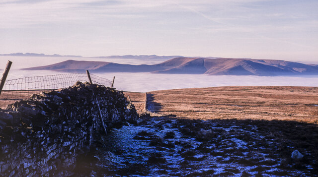
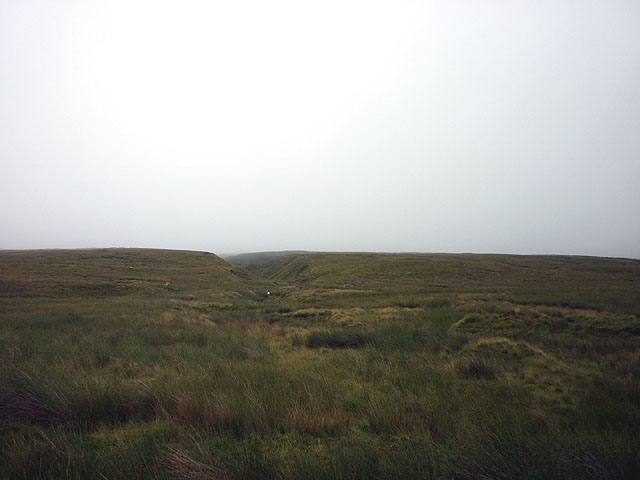
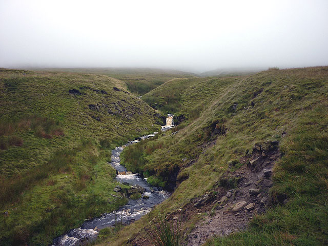
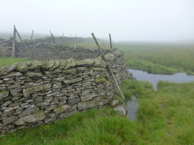
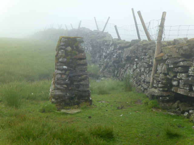
West Baugh Fell Tarn Images

Images are sourced within 2km of 54.33856/-2.4163413 or Grid Reference SD7393. Thanks to Geograph Open Source API. All images are credited.

The summit of Knoutberry Haw Fine views towards the Howgills.
The summit of Knoutberry Haw
Fine views towards the Howgills.
Trig pillar on Knoutberry Haw
Erosion on moorland at Rawthey Gill Foot
River Rawthey at Holmes Moss
Benchmark on old barn above River Rawthey, Holmes Moss Ordnance Survey cut mark benchmark shown as levelled at 1218.1 feet above Liverpool Datum on the 1888-1913 6" Map and described on the Bench Mark Database at <span class="nowrap"><a title="https://www.bench-marks.org.uk/bm98019" rel="nofollow ugc noopener" href="https://www.bench-marks.org.uk/bm98019">Link</a><img style="margin-left:2px;" alt="External link" title="External link - shift click to open in new window" src="https://s1.geograph.org.uk/img/external.png" width="10" height="10"/></span>
Benchmark on old barn above River Rawthey, Holmes Moss
Ordnance Survey cut mark benchmark shown as levelled at 1218.1 feet above Liverpool Datum on the 1888-1913 6" Map and described on the Bench Mark Database at LinkExternal link
Ruined barn above River Rawthey, Uldale There is an OS benchmark <a href="https://www.geograph.org.uk/photo/6008631">SD7495 : Benchmark on old barn above River Rawthey, Holmes Moss</a> on the near corner, right hand face, of the building
Ruined barn above River Rawthey, Uldale
There is an OS benchmark SD7495 : Benchmark on old barn above River Rawthey, Holmes Moss on the near corner, right hand face, of the building
Stream channel on Holmes Moss
Bend in dry stone wall beside River Rawthey, Holmes Moss
Knoutberry Haw Looking east towards Tarn Rigg Hill, look out for the bad peat bog ahead.
Knoutberry Haw
Looking east towards Tarn Rigg Hill, look out for the bad peat bog ahead.
Dry stone wall from summit at Knoutberry Haw Knoutberry Haw is the lower of the two summits of the bulky hill, Baugh Fell, the image was recorded from beside its trig point.
The distant view is towards the Howgill Fells and beyond them to the horizon occupied by mountains of the Lake District.
There was a splendid temperature inversion at the time the image was recorded in December 1989.
Dry stone wall from summit at Knoutberry Haw
Knoutberry Haw is the lower of the two summits of the bulky hill, Baugh Fell, the image was recorded from beside its trig point. The distant view is towards the Howgill Fells and beyond them to the horizon occupied by mountains of the Lake District. There was a splendid temperature inversion at the time the image was recorded in December 1989.
Tarn of the East Tarns group on Baugh Fell The frozen tarn is unnamed individually. It lies to the north of Tarn Rigg Hill which is the higher of the two tops of Baugh Fell. This tarn is the most westerly of the group.
The Howgill Fells can just be seen above the far shore and much more distantly, Lake District mountains can be discerned too.
Tarn of the East Tarns group on Baugh Fell
The frozen tarn is unnamed individually. It lies to the north of Tarn Rigg Hill which is the higher of the two tops of Baugh Fell. This tarn is the most westerly of the group. The Howgill Fells can just be seen above the far shore and much more distantly, Lake District mountains can be discerned too.
Far Askew Gill The stream emerges from a steep-sided gully on the vast flank of West Baugh Fell. I am standing in the swamp of Caphill Moss and my feet are soaked.
Far Askew Gill
The stream emerges from a steep-sided gully on the vast flank of West Baugh Fell. I am standing in the swamp of Caphill Moss and my feet are soaked.
Nor Gill So far, a nondescript moorland watercourse draining the vast flank of West Baugh Fell. Just downstream it leaps over a considerable waterfall.
Nor Gill
So far, a nondescript moorland watercourse draining the vast flank of West Baugh Fell. Just downstream it leaps over a considerable waterfall.
Swere Gill Swere Gill drains water from the north side of East Baugh Fell; Wild Boar Fell and Swarth Fell are seen in the distance.
Swere Gill
Swere Gill drains water from the north side of East Baugh Fell; Wild Boar Fell and Swarth Fell are seen in the distance.
Moorland wall corner
Moorland west of Knoutberry Haw
Knoutberry Haw trig point (2216' / 676m)
Moorland north of Knoutberry Haw
Show me another place!

West Baugh Fell Tarn is located at Grid Ref: SD7393 (Lat: 54.33856, Lng: -2.4163413)

Division: West Riding

Administrative County: Cumbria

District: South Lakeland

Police Authority: Cumbria

What 3 Words

///backs.rebel.claps. Near Sedbergh, Cumbria

Nearby Locations

West Baugh Fell Tarn

Related Wikis

Baugh Fell

Baugh Fell (, or locally ) is a large, flat-topped hill in the northern Pennines of England. It lies in the north-western corner of the Yorkshire Dales...

Swarth Fell

Swarth Fell is an approximately 1 mile (1.5 km) stretch of high ground (consisting mainly of limestone capped with millstone grit) situated to the south...

Garsdale

Garsdale is a dale or valley in the south east of Cumbria, England, historically a part of the West Riding of Yorkshire. It is now within the Westmorland...

Grisedale

Grisedale (sometimes Grisdale, or Grizedale [archaic]) is a south east facing Dale in Cumbria, England, 8 miles (13 km) east of Sedbergh, and 7 miles...

Have you been to West Baugh Fell Tarn?

Leave your review of West Baugh Fell Tarn below (or comments, questions and feedback).