Castle Pool

Lake, Pool, Pond, Freshwater Marsh in Roxburghshire

Scotland

Castle Pool

Summit, Brox Law The maize provides cover and food for pheasants.
Summit, Brox Law Credit: Richard Webb

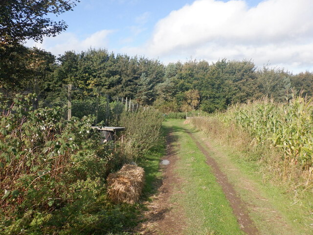
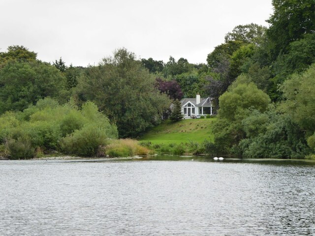
Castle Pool, located in Roxburghshire, is a picturesque freshwater marsh that offers a serene and tranquil environment for visitors. Situated amidst the stunning landscape of Scotland, this pool is a hidden gem for nature enthusiasts and those seeking a peaceful retreat.

Covering an area of approximately 5 acres, Castle Pool is a natural body of water that is surrounded by lush vegetation and diverse wildlife. The pool is fed by a small stream that originates from the nearby hills, ensuring a constant supply of fresh water. The crystal-clear water of the pool reflects the surrounding trees and sky, creating a mesmerizing sight.

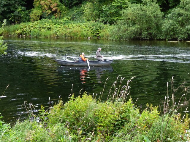
The pool is a haven for various species of aquatic plants and animals. Water lilies and reeds line the edges of the pool, providing shelter and food for an array of bird species, such as ducks, herons, and kingfishers. The calm and shallow waters of the pool also attract a variety of fish, including trout and perch, making it a popular spot for anglers.

The tranquil atmosphere and natural beauty of Castle Pool make it an ideal location for relaxation and exploration. Visitors can enjoy leisurely walks around the pool, admiring the vibrant flora and fauna or simply find a peaceful spot to sit and take in the breathtaking surroundings. The pool also offers opportunities for boating and kayaking, allowing visitors to immerse themselves in the serenity of the water.

Castle Pool, Roxburghshire is a hidden oasis that showcases the beauty of Scotland's natural landscape. Whether it's for birdwatching, fishing, or simply finding solace amidst nature, this freshwater marsh offers an unforgettable experience for all who visit.

If you have any feedback on the listing, please let us know in the comments section below.
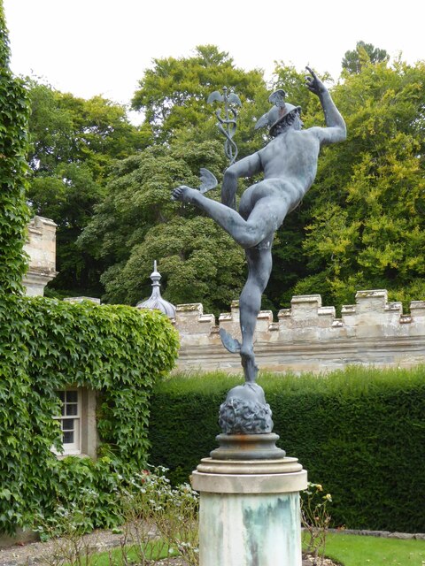
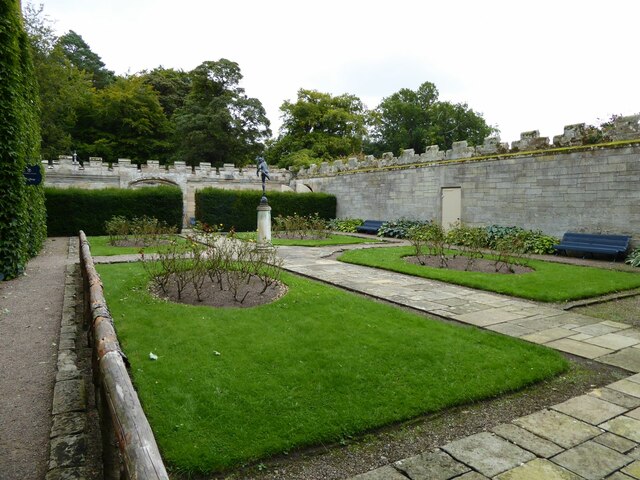
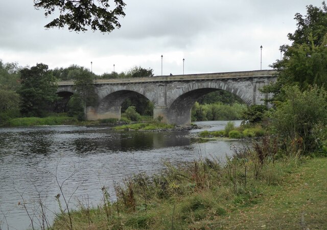
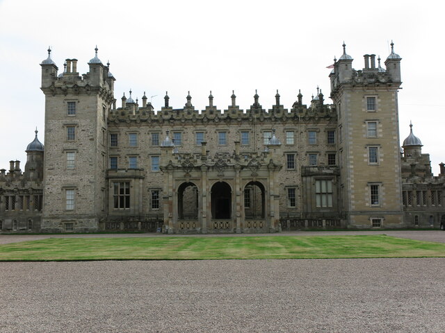
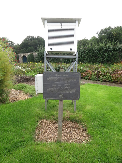
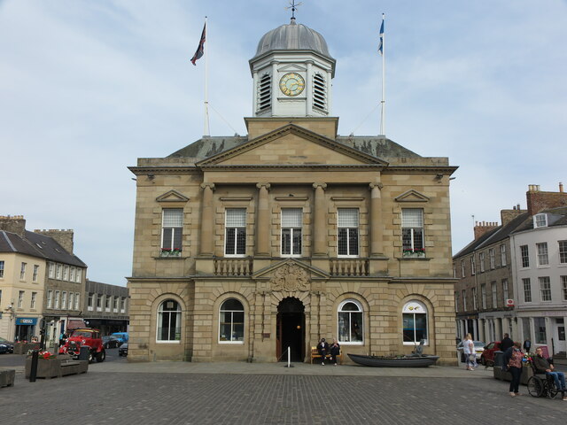
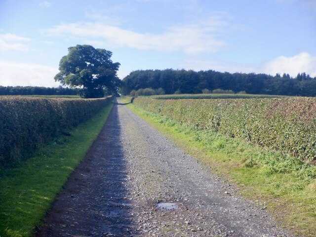
Castle Pool Images

Images are sourced within 2km of 55.597196/-2.4544252 or Grid Reference NT7133. Thanks to Geograph Open Source API. All images are credited.

Summit, Brox Law The maize provides cover and food for pheasants.
Summit, Brox Law
The maize provides cover and food for pheasants.
Millennium Garden at Floors Castle This lovely formal garden with its French-style parterre was created to commemorate the new millennium and features the intertwining initials of the 10th Duke and Duchess of Roxburghe.
Millennium Garden at Floors Castle
This lovely formal garden with its French-style parterre was created to commemorate the new millennium and features the intertwining initials of the 10th Duke and Duchess of Roxburghe.
The approach to Floors Castle Floors Castle is set in the Roxburghe Estate. It is one of the most excellent stately homes Scotland has to offer. 
<span class="nowrap"><a title="https://www.floorscastle.com/visit-us/floors-castle/" rel="nofollow ugc noopener" href="https://www.floorscastle.com/visit-us/floors-castle/">Link</a><img style="margin-left:2px;" alt="External link" title="External link - shift click to open in new window" src="https://s1.geograph.org.uk/img/external.png" width="10" height="10"/></span>
The approach to Floors Castle
Floors Castle is set in the Roxburghe Estate. It is one of the most excellent stately homes Scotland has to offer. LinkExternal link
Home Farm Cottages At Floors Home Farm.
Home Farm Cottages
At Floors Home Farm.
Statue of Hermes in walled garden At Floors Castle.
Statue of Hermes in walled garden
At Floors Castle.
Walled garden at Floors Castle With Hermes on his pedestal.
<a title="https://www.geograph.org.uk/photo/6960162" href="https://www.geograph.org.uk/photo/6960162">Link</a>
Walled garden at Floors Castle
With Hermes on his pedestal. Link
Fisherman and ghillie on the River Tweed As we watched a salmon or trout leapt out of the water beyond the boat!
Fisherman and ghillie on the River Tweed
As we watched a salmon or trout leapt out of the water beyond the boat!
Kelso Bridge Over the River Tweed.
Kelso Bridge
Over the River Tweed.
North Trinity Church, East Bowmont Street, Kelso Built as Kelso United Presbyterian Church replacing and on site of church of 1788. (Historic Scotland) Latterly in use as a workshop.
North Trinity Church, East Bowmont Street, Kelso
Built as Kelso United Presbyterian Church replacing and on site of church of 1788. (Historic Scotland) Latterly in use as a workshop.
Bungalow overlooking the River Tweed With pair of swans, bottoms up, and a heron resting on foreshore.
Bungalow overlooking the River Tweed
With pair of swans, bottoms up, and a heron resting on foreshore.
Houses on Mayfield Riverside Walk, Kelso With splendid, uninterrupted views of the River Tweed.
Houses on Mayfield Riverside Walk, Kelso
With splendid, uninterrupted views of the River Tweed.
Former Head Gardener's House, Floors Castle, Kelso This house stands within the Walled Garden of Floors Castle and has been beautifully restored. It is now available as a holiday let.
Former Head Gardener's House, Floors Castle, Kelso
This house stands within the Walled Garden of Floors Castle and has been beautifully restored. It is now available as a holiday let.
Floors Castle (Main Block), Kelso Standing on the banks of the River Tweed, Floors Castle has the common 18th-century layout of a main block with two symmetrical service wings. The Castle is a Category A Listed Building.
Floors Castle (Main Block), Kelso
Standing on the banks of the River Tweed, Floors Castle has the common 18th-century layout of a main block with two symmetrical service wings. The Castle is a Category A Listed Building.
Weather Station, Walled Garden, Floors Castle, Kelso This box is known as a Stevenson Screen and contains instruments that measure temperature, humidity and rainfall. An official weather station for the Meteorological Office since 1941, records are collected daily by the Head Gardener and are then passed on to the Meteorological Office.
Weather Station, Walled Garden, Floors Castle, Kelso
This box is known as a Stevenson Screen and contains instruments that measure temperature, humidity and rainfall. An official weather station for the Meteorological Office since 1941, records are collected daily by the Head Gardener and are then passed on to the Meteorological Office.
Town Hall, Kelso Built in 1816 at the expense of the 5th Duke of Roxburghe and local subscribers, the town hall is set in a conspicuous position projecting into the Square. The present hall stands on the site of the tolbooth, which was described as 'old and ruinous' in the late 18th century. It is probable that some of the masonry of the tolbooth was reused in the construction of the present building. The present ornamental character is largely the result of work carried out by J. D. Swanston of Kirkcaldy in 1904-6. Before these alterations, the ground-floor arcade was open on three sides to form a market-area. At first-floor level the detached Ionic columns of the centrepiece were replaced by attached columns raised on pedestals linked by a balustrade. The wallhead balustrade was removed, and Gibbs surrounds were added to the round-headed openings of the clock-tower. The interior was also extensively remodelled and most of the original fittings were replaced. The first floor, reached by a staircase to the rear, incorporated the council-chamber.
Town Hall, Kelso
Built in 1816 at the expense of the 5th Duke of Roxburghe and local subscribers, the town hall is set in a conspicuous position projecting into the Square. The present hall stands on the site of the tolbooth, which was described as 'old and ruinous' in the late 18th century. It is probable that some of the masonry of the tolbooth was reused in the construction of the present building. The present ornamental character is largely the result of work carried out by J. D. Swanston of Kirkcaldy in 1904-6. Before these alterations, the ground-floor arcade was open on three sides to form a market-area. At first-floor level the detached Ionic columns of the centrepiece were replaced by attached columns raised on pedestals linked by a balustrade. The wallhead balustrade was removed, and Gibbs surrounds were added to the round-headed openings of the clock-tower. The interior was also extensively remodelled and most of the original fittings were replaced. The first floor, reached by a staircase to the rear, incorporated the council-chamber.
Road, Floors Castle Newly trimmed hedges.
Road, Floors Castle
Newly trimmed hedges.
Hector Innes Photography Hector Innes Photography is located at 33 The Square, Kelso. The business was established in 1937.
Hector Innes Photography
Hector Innes Photography is located at 33 The Square, Kelso. The business was established in 1937.
Signs at Duns Wynd, Kelso Duns Wynd is off Roxburgh Street and the route of the Borders Abbeys Way to The Cobby, the north bank of the Tweed.
Signs at Duns Wynd, Kelso
Duns Wynd is off Roxburgh Street and the route of the Borders Abbeys Way to The Cobby, the north bank of the Tweed.
Show me another place!

Castle Pool is located at Grid Ref: NT7133 (Lat: 55.597196, Lng: -2.4544252)

Unitary Authority: The Scottish Borders

Police Authority: The Lothians and Scottish Borders

What 3 Words

///regaining.dusters.fall. Near Kelso, Scottish Borders

Related Wikis

Roxburgh

Roxburgh () is a civil parish and formerly a royal burgh, in the historic county of Roxburghshire in the Scottish Borders, Scotland. It was an important...

Capture of Roxburgh (1460)

The capture of Roxburgh was a siege that took place during the Anglo-Scottish Wars. James II of Scotland had started a campaign to recapture Roxburgh and...
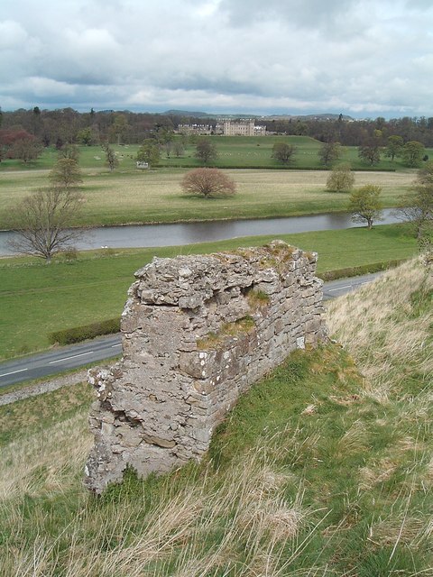
Roxburgh Castle

Roxburgh Castle is a ruined royal castle that overlooks the junction of the rivers Tweed and Teviot, in the Borders region of Scotland. The town and castle...

Capture of Roxburgh (1314)

The Capture of Roxburgh was a siege that took place in 1314, which was a major conflict in the First War of Scottish Independence. This siege was a prelude...

Nearby Amenities

Located within 500m of 55.597196,-2.4544252
Site of medieval city of Roxburgh
Addr City: Roxburgh
Historic: archaeological_site
Lat/Long: 55.5988645/-2.4477828
Tourism: viewpoint
Lat/Long: 55.5965704/-2.4558919
Site of main gate to castle
Historic: archaeological_site
Lat/Long: 55.5956366/-2.4565429
Fair Cross Ana
Place: locality
Lat/Long: 55.5991189/-2.458578
Parking
Lat/Long: 55.5928426/-2.4552361
Parking
Lat/Long: 55.5935495/-2.4551868
Parking
Lat/Long: 55.5936348/-2.4542347
From Busy Town to Green Fields
Board Type: history
Direction: -125
Information: board
Survey Date: 2021-05-08
Tourism: information
Lat/Long: 55.5962067/-2.4482326
Bench
Survey Date: 2021-07-06
Lat/Long: 55.5960351/-2.4559424
Centuries of Conflict
Board Type: history
Direction: 110
Information: board
Survey Date: 2021-07-06
Tourism: information
Lat/Long: 55.5960609/-2.4559029
The data included in this document is from www.openstreetmap.org. The data is made available under ODbL.

Have you been to Castle Pool?

Leave your review of Castle Pool below (or comments, questions and feedback).