Coopers Lake
Lake, Pool, Pond, Freshwater Marsh in Gloucestershire
England
Coopers Lake

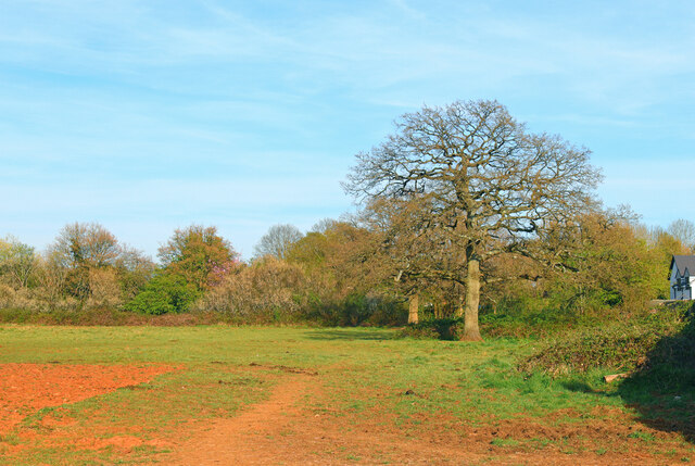
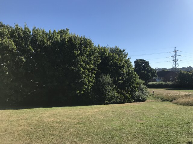
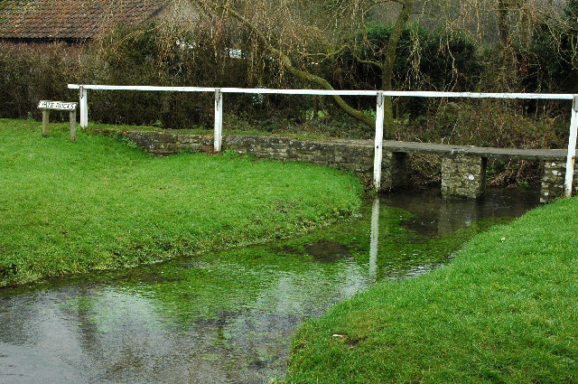
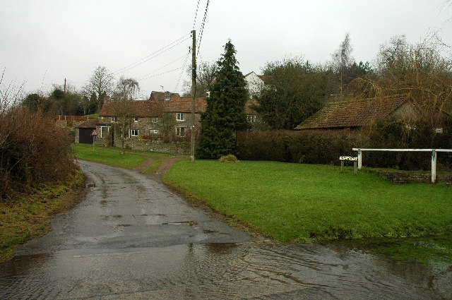
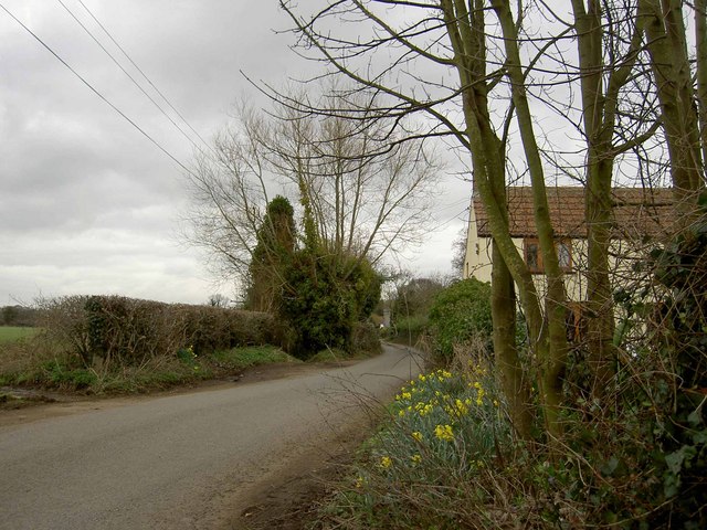
Coopers Lake is a picturesque freshwater body located in Gloucestershire, England. It is a small lake encompassing an area of about 5 acres, nestled amidst the serene countryside. The lake is surrounded by lush greenery and offers a tranquil retreat for nature enthusiasts and visitors alike.
The waters of Coopers Lake are crystal clear and teem with a diverse array of aquatic life. It serves as a habitat for various fish species, including perch, pike, and roach, making it a popular spot for fishing enthusiasts. Anglers can be seen casting their lines from the banks, hoping for a successful catch.
The lake also boasts a natural pool and pond, which provide a refreshing swimming experience during the warmer months. The pool is shallow and ideal for families and children, while the pond offers a more secluded and peaceful swimming spot.
Adjacent to the lake is a freshwater marsh, characterized by its marshy vegetation and wetland habitats. This marshland provides a haven for a variety of bird species, including herons, ducks, and swans, attracting birdwatchers and wildlife enthusiasts. Visitors can observe the birds in their natural habitat, either from the water's edge or by exploring the surrounding walking trails.
Coopers Lake is a haven for those seeking solace in nature's beauty. Its idyllic setting, diverse wildlife, and recreational activities make it a popular destination for fishing, swimming, birdwatching, or simply enjoying a peaceful picnic by the water's edge.
If you have any feedback on the listing, please let us know in the comments section below.
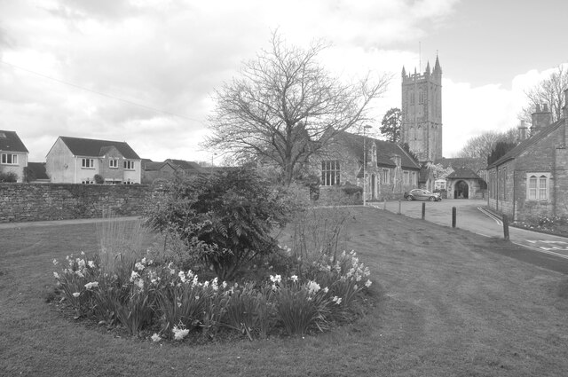
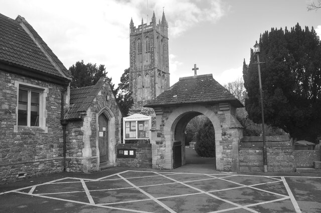
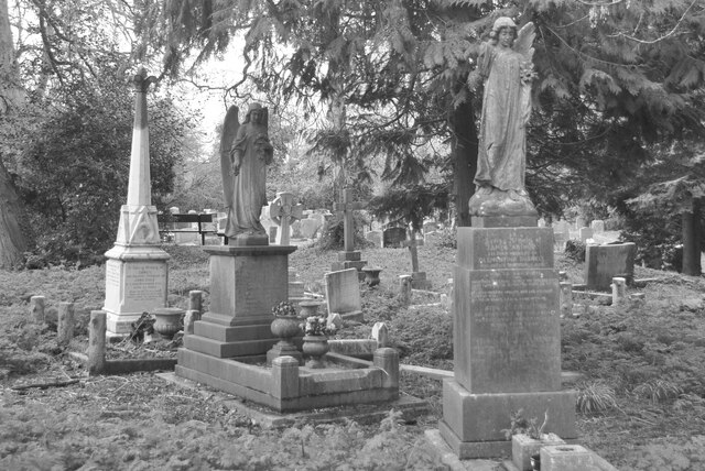
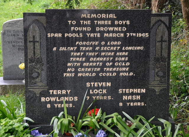
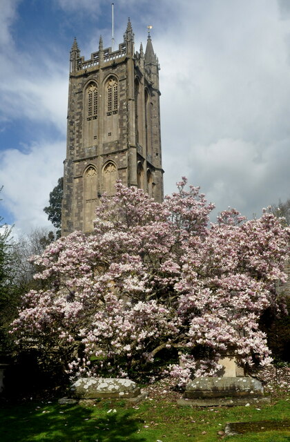
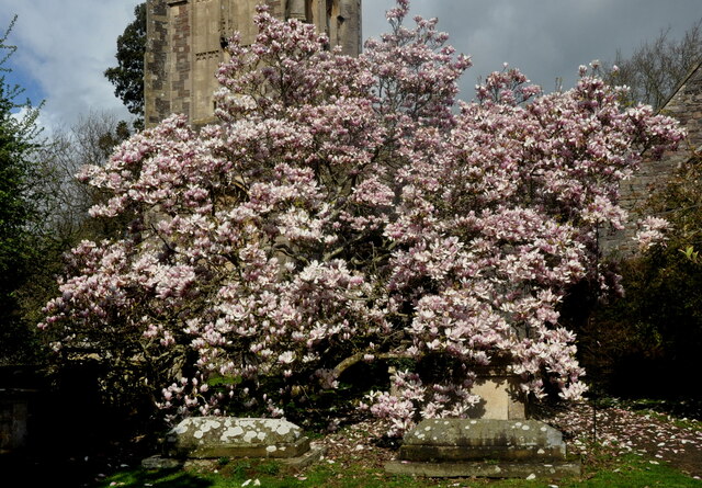
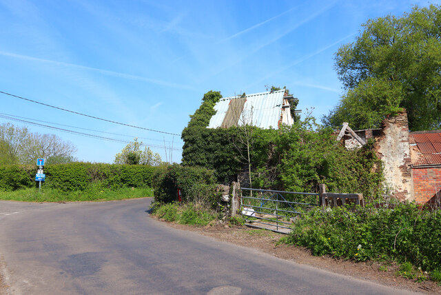
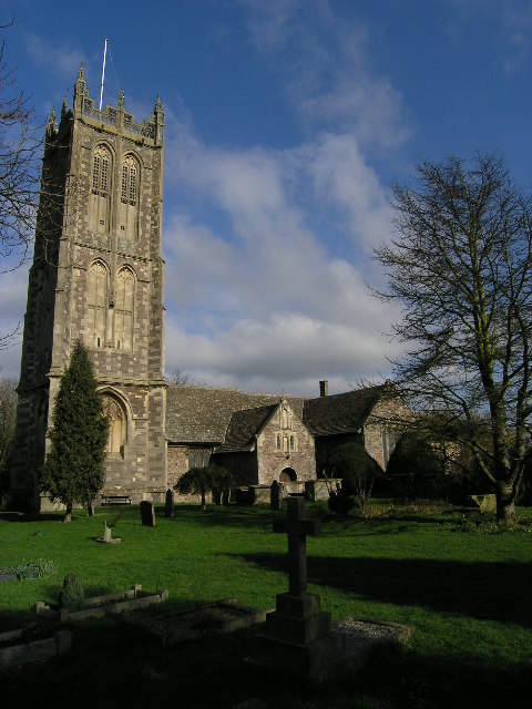
Coopers Lake Images
Images are sourced within 2km of 51.556549/-2.4132149 or Grid Reference ST7184. Thanks to Geograph Open Source API. All images are credited.


Coopers Lake is located at Grid Ref: ST7184 (Lat: 51.556549, Lng: -2.4132149)
Unitary Authority: South Gloucestershire
Police Authority: Avon and Somerset
What 3 Words
///regaining.lessening.clincher. Near Yate, Gloucestershire
Nearby Locations
Related Wikis

Brimsham Green School
Brimsham Green School is a comprehensive secondary school in Yate, South Gloucestershire, England. Situated toward the northern edge of Yate and serving...
Engine Common
Engine Common is a village in the civil parish of Iron Acton in South Gloucestershire, England. It lies about 1 mile north west of Yate. == References... ==
Yate
Yate is a town and civil parish in South Gloucestershire, England. It lies just to the southwest of the Cotswold Hills and is 12 miles (19 kilometres)...
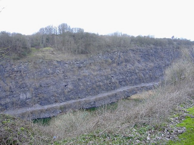
Barnhill Quarry
Barnhill Quarry (grid reference ST725827) is a 3.1 hectare geological Site of Special Scientific Interest near Chipping Sodbury, South Gloucestershire...

Yate Town F.C.
Yate Town Football Club is a football club based in Yate, Gloucestershire, England. They are currently members of the Southern League Division One South...
Chipping Sodbury Town F.C.
Chipping Sodbury Town Football Club is a football club based in Chipping Sodbury, South Gloucestershire, England. They are currently members of the Hellenic...
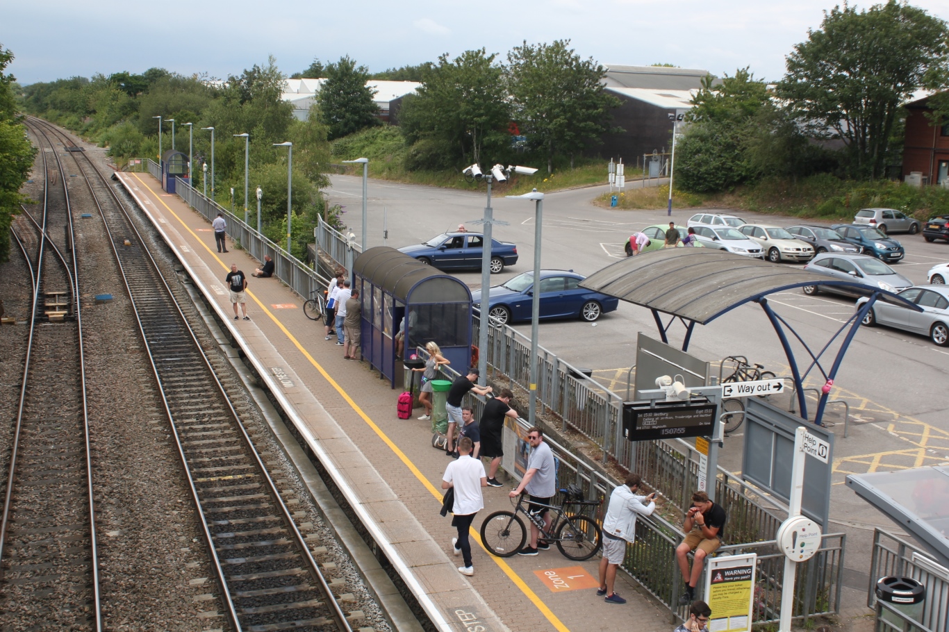
Yate railway station
Yate railway station serves the town of Yate in South Gloucestershire, in south west England. The station is located on the main Bristol to Birmingham...

Chipping Sodbury Town Hall
Chipping Sodbury Town Hall is a municipal building in Broad Street, Chipping Sodbury, Gloucestershire, England. The building, which is used as an events...
Nearby Amenities
Located within 500m of 51.556549,-2.4132149Have you been to Coopers Lake?
Leave your review of Coopers Lake below (or comments, questions and feedback).