Paul's Pool

Lake, Pool, Pond, Freshwater Marsh in Shropshire

England

Paul's Pool

Tasley entrance sign
Tasley entrance sign Credit: Alex McGregor

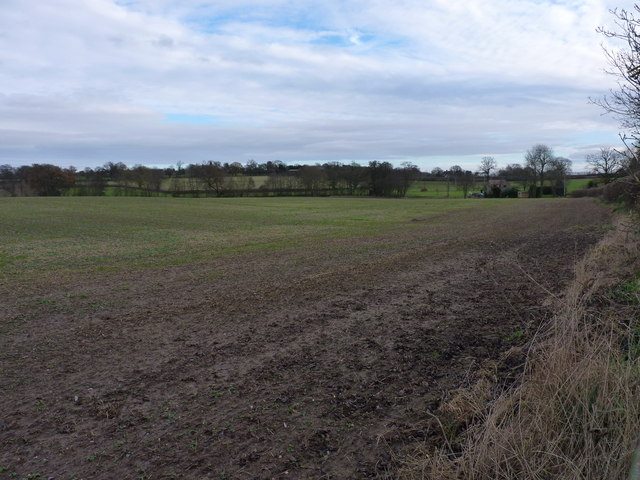
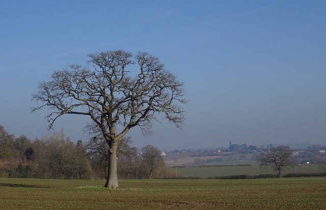
Paul's Pool is a picturesque freshwater body located in Shropshire, England. Nestled within a tranquil landscape, it is a popular destination for nature enthusiasts and anglers alike. Spanning an area of approximately 5 acres, the pool offers a serene and idyllic setting for visitors to enjoy.

Surrounded by lush greenery and dotted with vibrant wildflowers, Paul's Pool is a haven for a diverse range of wildlife. The pool teems with various species of fish, including carp, perch, and roach, making it a paradise for angling enthusiasts seeking a rewarding catch. Additionally, the pool attracts a variety of waterfowl, such as ducks, swans, and herons, which add to its scenic beauty.

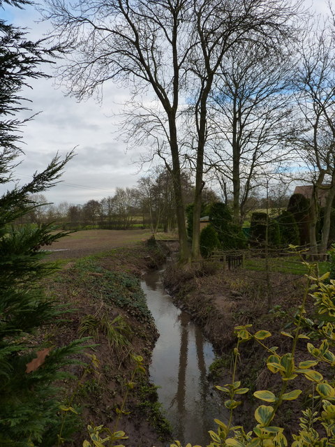
The pool itself features crystal-clear water, which is sourced from natural springs and rainwater runoff. Its depth ranges from shallow areas, perfect for wading or paddling, to deeper sections suited for swimming or diving. The pool's clean and unpolluted water makes it an ideal habitat for aquatic plants, such as water lilies and reeds, which provide additional beauty and shelter for the diverse ecosystem.

Surrounding the pool, visitors can explore the freshwater marshes that provide a rich habitat for various flora and fauna. These marshes are home to a variety of plant species, including sedges, rushes, and marsh marigolds. Additionally, they attract an array of insects, amphibians, and birds, creating a vibrant and dynamic ecosystem.

Paul's Pool offers a serene escape from the hustle and bustle of daily life, providing visitors with an opportunity to immerse themselves in the beauty of nature. Whether it's fishing, birdwatching, or simply enjoying the peaceful surroundings, this freshwater haven in Shropshire is sure to captivate and rejuvenate all who visit.

If you have any feedback on the listing, please let us know in the comments section below.

Paul's Pool Images

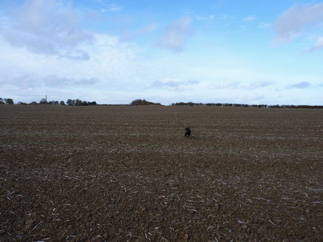
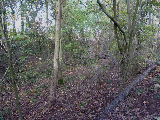
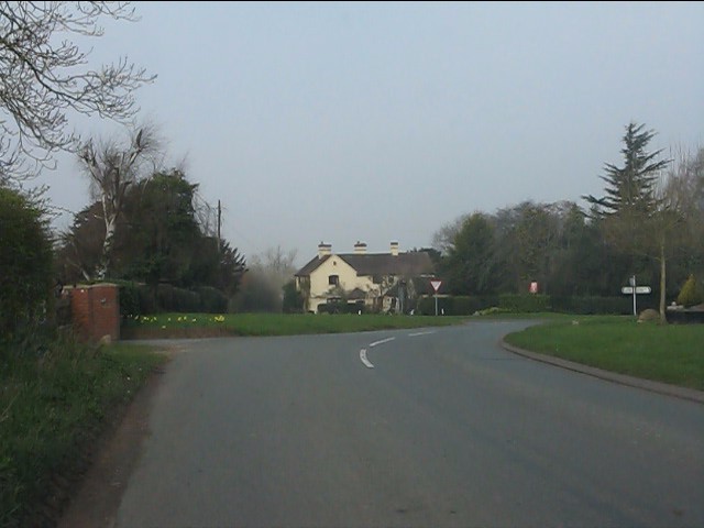
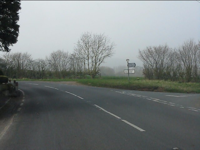
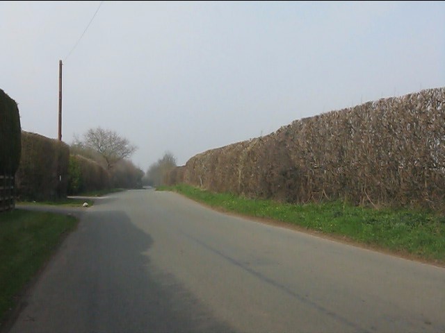
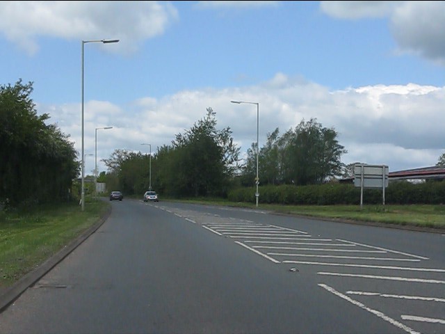
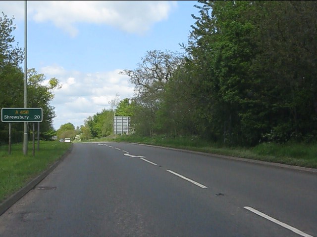
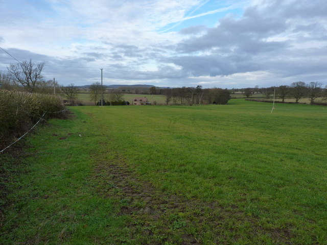
Images are sourced within 2km of 52.535021/-2.4289494 or Grid Reference SO7193. Thanks to Geograph Open Source API. All images are credited.

Tasley entrance sign
Water Tower, Tasley
Water Tower, Tasley
Tasley water tower and mast
The footpath west of Tasley church This path (behind me) leads down, across fields, to the intriguingly named Footbridge Cottage.
The footpath west of Tasley church
This path (behind me) leads down, across fields, to the intriguingly named Footbridge Cottage.
Footbridge Cottage A path leads uphill to the right, heading for the church in Tasley.
Footbridge Cottage
A path leads uphill to the right, heading for the church in Tasley.
"Yes, dad, you called?" Barkley comes charging back down the footpath in response to a whistle; there can't have been any pheasants around at that moment.
"Yes, dad, you called?"
Barkley comes charging back down the footpath in response to a whistle; there can't have been any pheasants around at that moment.
The pond bay in Trinity Wood Normally the remains of a medieval fishpond or some such; this certainly has that look about it, although the details are hard to make out in the picture. An oval depression is surrounded by banks approximately 10' high.
The pond bay in Trinity Wood
Normally the remains of a medieval fishpond or some such; this certainly has that look about it, although the details are hard to make out in the picture. An oval depression is surrounded by banks approximately 10' high.
Approaching Cross Houses from the southeast
Western lane junction, Cross Houses
Lane to Morville west of Tiddlebrook Bridge
A458 near The Leasowes
Route confirmatory sign, A458
Pastureland north of Cross Houses Looking towards the interestingly-named Tiddlebrook House in <a href="https://www.geograph.org.uk/gridref/SO6992">SO6992</a>
Pastureland north of Cross Houses
Looking towards the interestingly-named Tiddlebrook House in SO6992
Winter on the Tiddle Brook By comparison to the first picture in this square <a href="https://www.geograph.org.uk/photo/441130">SO6992 : Tiddle Brook</a>, the winter view is much less colourful.
Winter on the Tiddle Brook
By comparison to the first picture in this square SO6992 : Tiddle Brook, the winter view is much less colourful.
Muddy field near Tiddle Brook One of the fields just north of the lane from Cross Houses to Morville.
Muddy field near Tiddle Brook
One of the fields just north of the lane from Cross Houses to Morville.
Ordnance Survey Cut Mark This OS cut mark can be found on the gatepost of Tasley Church. It marks a point 128.656m above mean sea level.
Ordnance Survey Cut Mark
This OS cut mark can be found on the gatepost of Tasley Church. It marks a point 128.656m above mean sea level.
Old Direction Sign - Signpost by the B4364, Cross Houses, Bridgnorth parish Fan finial - 3 Worboys arms; Shropshire parish fan by the B4364, in parish of Bridgnorth (Bridgnorth District), Cross Houses, village centre. In 2022 the post was replaced but the fan finial was retained.

Shropshire HER.
HER Number (PRN): 31219 <span class="nowrap"><a title="https://www.heritagegateway.org.uk/Gateway/Results_Single.aspx?uid=MSA34063&resourceID=1015" rel="nofollow ugc noopener" href="https://www.heritagegateway.org.uk/Gateway/Results_Single.aspx?uid=MSA34063&resourceID=1015">Link</a><img style="margin-left:2px;" alt="External link" title="External link - shift click to open in new window" src="https://s1.geograph.org.uk/img/external.png" width="10" height="10"/></span>

Surveyed

Milestone Society National ID: SA_SO6991
Old Direction Sign - Signpost by the B4364, Cross Houses, Bridgnorth parish
Fan finial - 3 Worboys arms; Shropshire parish fan by the B4364, in parish of Bridgnorth (Bridgnorth District), Cross Houses, village centre. In 2022 the post was replaced but the fan finial was retained. Shropshire HER. HER Number (PRN): 31219 LinkExternal link Surveyed Milestone Society National ID: SA_SO6991
Site of Bridgnorth racecourse, Tasley There are four mature oaks scattered around this field on the edge of Bridgnorth. The field's perimeter was once the northwest corner of Bridgnorth's racecourse.
Site of Bridgnorth racecourse, Tasley
There are four mature oaks scattered around this field on the edge of Bridgnorth. The field's perimeter was once the northwest corner of Bridgnorth's racecourse.
Show me another place!

Paul's Pool is located at Grid Ref: SO7193 (Lat: 52.535021, Lng: -2.4289494)

Unitary Authority: Shropshire

Police Authority: West Mercia

What 3 Words

///whisk.skewed.loaning. Near Bridgnorth, Shropshire

Related Wikis

Majestic Cinema, Bridgnorth

The Majestic Cinema is the only working cinema in Bridgnorth, Shropshire, England. It opened in 1937, and has three screens, a large screen with around...
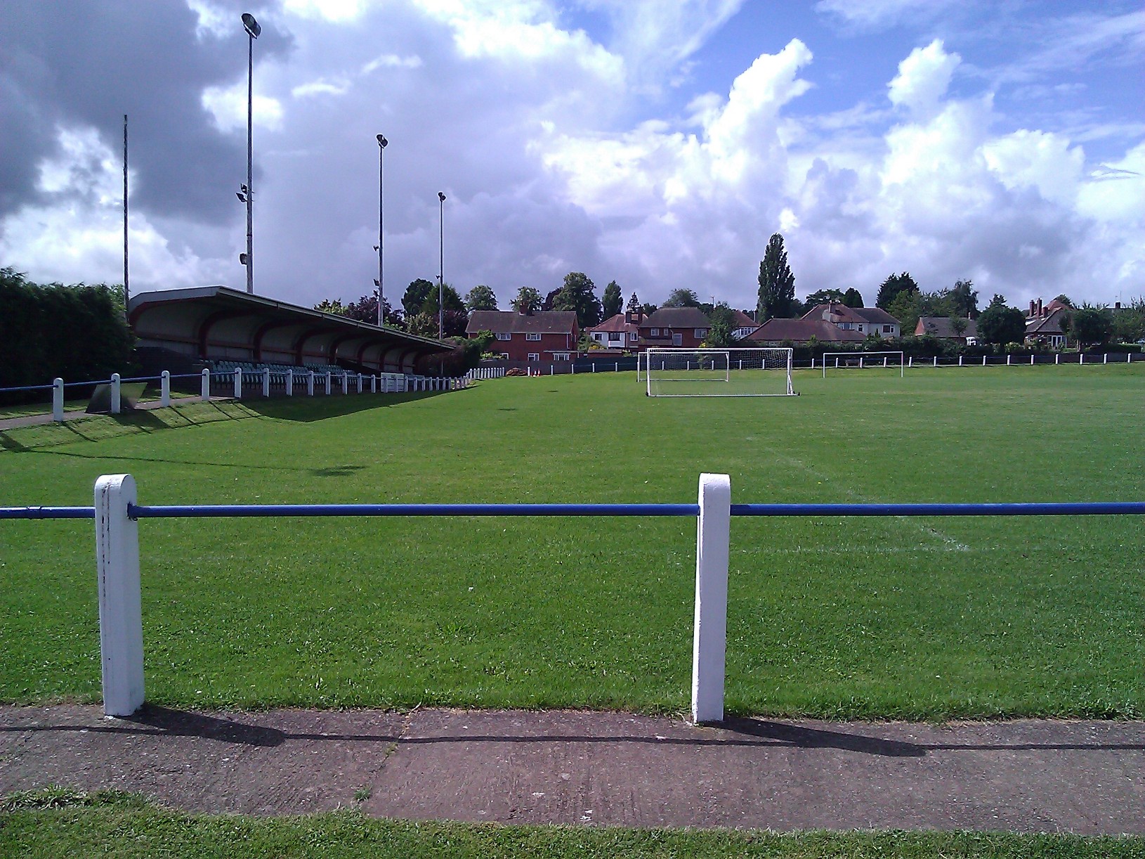
A.F.C. Bridgnorth

AFC Bridgnorth is a football club based in the town of Bridgnorth, Shropshire, England. They are currently members of the Midland League Division One and...

Oldbury Wells School

Oldbury Wells School is a coeducational secondary school located in Bridgnorth, England. having 800 pupils, 122 of whom are in the sixth form. The school...

Bridgnorth Endowed School

Bridgnorth Endowed School is a coeducational secondary school with academy status, located in the market town of Bridgnorth in the rural county of Shropshire...

Nearby Amenities

Located within 500m of 52.535021,-2.4289494
Mini Roundabout
Direction: clockwise
Lat/Long: 52.5346452/-2.4235558
Mini Roundabout
Direction: clockwise
Lat/Long: 52.5352629/-2.4241126
Crossing
Crossing: uncontrolled
Crossing Island: no
Crossing Ref: zebra
Lat/Long: 52.533673/-2.4221688
Crossing
Crossing: zebra
Crossing Island: no
Lat/Long: 52.5354679/-2.4235856
Mini Roundabout
Direction: clockwise
Lat/Long: 52.5356084/-2.4232166
Mini Roundabout
Direction: clockwise
Lat/Long: 52.5366189/-2.4229831
Turning Circle
Turning Circle: circle
Lat/Long: 52.5377847/-2.4329952
Turning Circle
Turning Circle: circle
Lat/Long: 52.5386364/-2.4314009
Mini Roundabout
Lat/Long: 52.5335168/-2.4298167
Mini Roundabout
Source: bing
Lat/Long: 52.5360537/-2.4237953
Crossing
Lat/Long: 52.5366855/-2.4235341
Crossing
Button Operated: yes
Crossing: traffic_signals
Crossing Island: no
Crossing Ref: puffin
Tactile Paving: yes
Traffic Signals Sound: yes
Traffic Signals Vibration: no
Lat/Long: 52.5370186/-2.4226314
Barrier: cycle_barrier
Bicycle: no
Foot: yes
Lat/Long: 52.5386115/-2.4257388
Post Box
Post Box Type: pillar
Ref: WV16 26D
Royal Cypher: GR
Royal Cypher Wikidata: Q33102273
Lat/Long: 52.5372346/-2.4279463
Crossing
Crossing: marked
Tactile Paving: yes
Lat/Long: 52.5361677/-2.4237366
Crossing
Crossing: marked
Crossing Markings: zebra
Crossing Ref: zebra
Tactile Paving: yes
Lat/Long: 52.5369253/-2.4224139
Post Box
Lat/Long: 52.5354436/-2.4234331
Atm
Lat/Long: 52.5351286/-2.4256508
Barrier: cycle_barrier
Lat/Long: 52.5348941/-2.4361944
Give Way
Direction: forward
Lat/Long: 52.533199/-2.4254169
Generator Method: photovoltaic
Generator Output Electricity: yes
Generator Source: solar
Generator Type: solar_photovoltaic_panel
Location: roof
Power: generator
Lat/Long: 52.5324161/-2.4232632
Generator Method: photovoltaic
Generator Output Electricity: yes
Generator Source: solar
Generator Type: solar_photovoltaic_panel
Location: roof
Power: generator
Lat/Long: 52.5350396/-2.4329835
Generator Method: photovoltaic
Generator Output Electricity: yes
Generator Source: solar
Generator Type: solar_photovoltaic_panel
Location: roof
Power: generator
Lat/Long: 52.5328941/-2.4296656
Bus Stop
Sainsbury's
Bench: yes
Bin: yes
Bus: yes
Lit: yes
Naptan AtcoCode: 3500B466501
Naptan NaptanCode: shrdjmj
Naptan Verified: no
Public Transport: platform
Shelter: yes
Source: naptan
Tactile Paving: no
Lat/Long: 52.537206/-2.4224833
Bus Stop
Hawthorns Junction
Bench: no
Bus: yes
Naptan AtcoCode: 3500B240400
Naptan NaptanCode: shratmap
Naptan Verified: no
Public Transport: platform
Shelter: no
Source: naptan
Lat/Long: 52.5337583/-2.4229223
Bus Stop
Oldbury Wells School
Bus: yes
Naptan AtcoCode: 3500B029100
Naptan BusStopType: CUS
Naptan NaptanCode: shradpgm
Naptan Verified: no
Public Transport: platform
Shelter: no
Source: naptan
Lat/Long: 52.5306396/-2.4276832
Access: private
Barrier: lift_gate
Lat/Long: 52.5349755/-2.4219929
Crossing
Button Operated: yes
Crossing: traffic_signals
Crossing Island: yes
Crossing Markings: yes
Crossing Ref: pelican
Kerb: flush
Tactile Paving: yes
Lat/Long: 52.5332131/-2.4348759
Give Way
Direction: backward
Lat/Long: 52.5333472/-2.4251498
Bench
Seats: 2
Lat/Long: 52.5352664/-2.4242254
Give Way
Direction: backward
Lat/Long: 52.5388878/-2.4300922
Crossing
Crossing: unmarked
Crossing Island: no
Crossing Markings: no
Tactile Paving: yes
Lat/Long: 52.5334336/-2.4299125
Crossing
Crossing: unmarked
Crossing Island: no
Crossing Markings: no
Tactile Paving: yes
Lat/Long: 52.5336124/-2.4298914
Crossing
Crossing: unmarked
Crossing Island: no
Crossing Markings: no
Tactile Paving: yes
Lat/Long: 52.5335275/-2.4296629
Give Way
Direction: backward
Lat/Long: 52.5337664/-2.4288689
Crossing
Crossing: unmarked
Crossing Island: no
Crossing Markings: no
Lat/Long: 52.5329994/-2.4350402
Nock Deighton
Office: estate_agent
Lat/Long: 52.5357485/-2.4231076
Veterinary
Bridgenorth Veterinary Centre
Lat/Long: 52.5355992/-2.4229507
Willz Motor Shop
Shop: car_parts
Lat/Long: 52.5358342/-2.4221943
Diamond Nails
Shop: beauty
Lat/Long: 52.5359141/-2.4221367
Creative Outlet
Shop: fabric
Lat/Long: 52.5359272/-2.422083
Berriman Eaton
Office: estate_agent
Lat/Long: 52.5359443/-2.4223928
The Toy Emporium
Shop: toys
Lat/Long: 52.5359671/-2.422311
The Furniture Shop
Shop: furniture
Lat/Long: 52.5359981/-2.4222171
Dentist
Fix Ur Dent
Lat/Long: 52.5360414/-2.4221165
The Cake Room Bridgnorth
Addr City: Bridgnorth
Addr Country: GB
Addr Housenumber: 62
Addr Postcode: WV16 4QP
Addr Street: Whitburn Street
Fhrs Authority: Shropshire
Fhrs Id: 1282500
Fhrs Local Authority Id: 20/00655/COMM
Shop: pastry
Lat/Long: 52.5359883/-2.4219114
Restaurant
The Board Room Bridgnorth
Addr City: Bridgnorth
Addr Country: GB
Addr Housenumber: 13-14
Addr Postcode: WV16 4QN
Addr Street: Whitburn Street
Diet Vegan: yes
Diet Vegetarian: yes
Fhrs Authority: Shropshire
Fhrs Id: 1626058
Fhrs Local Authority Id: 23/00294/COMM
Opening Hours: Mo-We 08:30-18:00; Th,Fr 08:30-22:00; Sa 11:00-22:00; Su 11:00-20:00
Lat/Long: 52.5360642/-2.422016
Restaurant
Dilraz
Addr City: Bridgnorth
Addr Country: GB
Addr Housenumber: 63
Addr Postcode: WV16 4QP
Addr Street: Whitburn Street
Fhrs Authority: Shropshire
Fhrs Id: 1590224
Fhrs Local Authority Id: 23/00081/COMM
Lat/Long: 52.5360153/-2.4218108
Restaurant
Himalaya Tandoori
Addr City: Bridgnorth
Addr Country: GB
Addr Housenumber: 12
Addr Postcode: WV16 4QN
Addr Street: Whitburn Street
Fhrs Authority: Shropshire
Fhrs Id: 98214
Fhrs Local Authority Id: 30873
Lat/Long: 52.5361115/-2.421906
Simply Stylish
Shop: hairdresser
Lat/Long: 52.5361376/-2.4218336
The data included in this document is from www.openstreetmap.org. The data is made available under ODbL.

Have you been to Paul's Pool?

Leave your review of Paul's Pool below (or comments, questions and feedback).