Black Dub

Lake, Pool, Pond, Freshwater Marsh in Cumberland Eden

England

Black Dub

Greg's Hut Greg’s Hut is a small stone cottage built in the 19th century and situated close to the summit of Cross Fell in the Pennines. It was originally built to house miners from a nearby lead mine and was renovated in 1969 as an open shelter in memory of John Gregory who died in a mountaineering accident.
Greg's Hut Credit: Colin Kinnear

Black Dub is a serene freshwater marsh located in Cumberland, England. Spanning across a sprawling area, it is encompassed by lush greenery and picturesque landscapes, making it a popular destination for nature enthusiasts and avid birdwatchers alike.

The main attraction of Black Dub is its tranquil lake, which is nestled amidst the marshland. The lake is fed by various freshwater sources, ensuring a constant flow of clean water. It is known for its crystal-clear waters, providing a perfect habitat for a diverse range of aquatic flora and fauna.

The surrounding area of the lake is adorned with beautiful reeds and rushes, creating a haven for numerous bird species. Visitors can spot a plethora of waterfowl, such as ducks, herons, and swans, as they gracefully glide through the calm waters. The marshland also attracts migratory birds during certain seasons, adding to the avian diversity of the area.

The pool at Black Dub is a smaller body of water that is connected to the lake. It offers a more secluded and intimate experience, allowing visitors to enjoy the peaceful ambiance away from the main lake. The pool is an ideal spot for swimming and cooling off during the warmer months, with its gentle slopes and sandy bottom.

In addition to the lake and pool, Black Dub also features a scenic pond, which is home to various aquatic plants and small fish. The pond provides a tranquil setting for visitors to relax and enjoy the surrounding natural beauty.

Overall, Black Dub in Cumberland is a haven of tranquility and natural beauty, offering a perfect retreat for those seeking solace in the midst of stunning freshwater marshland.

If you have any feedback on the listing, please let us know in the comments section below.
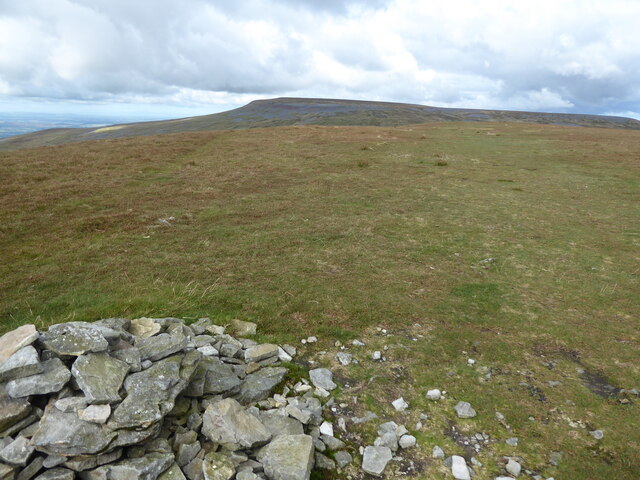
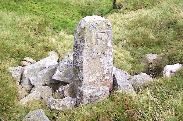
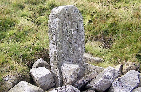
Black Dub Images

Images are sourced within 2km of 54.708383/-2.465395 or Grid Reference NY7034. Thanks to Geograph Open Source API. All images are credited.

Greg's Hut Greg’s Hut is a small stone cottage built in the 19th century and situated close to the summit of Cross Fell in the Pennines. It was originally built to house miners from a nearby lead mine and was renovated in 1969 as an open shelter in memory of John Gregory who died in a mountaineering accident.
Greg's Hut
Greg’s Hut is a small stone cottage built in the 19th century and situated close to the summit of Cross Fell in the Pennines. It was originally built to house miners from a nearby lead mine and was renovated in 1969 as an open shelter in memory of John Gregory who died in a mountaineering accident.
The Pennine Way near Crowdundle Head
The Pennine Way near Cross Fell
The Pennine Way at Cross Fell
The Pennine Way on Cross Fell
The Pennine Way near Crossfell Well
The Pennine Way near Yad Stone
The Pennine Way near Greg's Hut A major renovation is underway during Autumn 2022.
The Pennine Way near Greg's Hut
A major renovation is underway during Autumn 2022.
The Pennine Way looking towards Cross Fell
On the Pennine Way between Little Dun Fell & Cross Fell
Approaching Cross Fell from the SE
Greg's Hut bothy on Pennine Way below Cross Fell
The Pennine Way on Little Dun Fell
The Pennine Way near Backstone Edge
The Pennine Way near Cash Well
Old Boundary Marker at Tees Head Parish Boundary Marker set in a stone cairn at Tees Head. On the boundary of Culgaith and Alston Moor parishes. Inscribed F / 36 and B / T on opposite faces. See also <span class="nowrap"><a title="https://www.lakesguides.co.uk/photos/BRF57.jpg" rel="nofollow ugc noopener" href="https://www.lakesguides.co.uk/photos/BRF57.jpg">Link</a><img style="margin-left:2px;" alt="External link" title="External link - shift click to open in new window" src="https://s1.geograph.org.uk/img/external.png" width="10" height="10"/></span> , <span class="nowrap"><a title="https://www.lakesguides.co.uk/photos/BRF58.jpg" rel="nofollow ugc noopener" href="https://www.lakesguides.co.uk/photos/BRF58.jpg">Link</a><img style="margin-left:2px;" alt="External link" title="External link - shift click to open in new window" src="https://s1.geograph.org.uk/img/external.png" width="10" height="10"/></span> and <a title="https://www.geograph.org.uk/photo/290886" href="https://www.geograph.org.uk/photo/290886">Link</a>.

Milestone Society National ID: CU_CULALM02pb
Old Boundary Marker at Tees Head
Parish Boundary Marker set in a stone cairn at Tees Head. On the boundary of Culgaith and Alston Moor parishes. Inscribed F / 36 and B / T on opposite faces. See also LinkExternal link , LinkExternal link and Link. Milestone Society National ID: CU_CULALM02pb
Show me another place!

Black Dub is located at Grid Ref: NY7034 (Lat: 54.708383, Lng: -2.465395)

Administrative County: Cumbria

District: Eden

Police Authority: Cumbria

What 3 Words

///surpasses.attaching.bridges. Near Alston, Cumbria

Nearby Locations

Black Dub

Related Wikis

Cross Fell

Cross Fell is the highest mountain in the Pennines of Northern England and the highest point in England outside the Lake District. It is located in the...

Moorhouse and Cross Fell

Moorhouse and Cross Fell is a Site of Special Scientific Interest covering an extensive area of moorland in the Wear Valley district of west County Durham...

Kirkland, Culgaith

Kirkland is a village in the Eden district of the English county of Cumbria. It is in the historic county of Cumberland. There is a fell called Kirkland...

Blencarn

Blencarn is a small village located in the Eden District of Cumbria, England. The village is situated at the foot of the Pennines. In Blencarn there is...

Nearby Amenities

Located within 500m of 54.708383,-2.465395
Black Dub
Ele: 803.8
Man Made: survey_point
Natural: peak
Source: NPE
Lat/Long: 54.7083006/-2.4640791
Abandoned: yes
Man Made: adit
Mineral: lead
Resource: lead
Lat/Long: 54.7107767/-2.466827
The data included in this document is from www.openstreetmap.org. The data is made available under ODbL.

Have you been to Black Dub?

Leave your review of Black Dub below (or comments, questions and feedback).