Nantwich Lake
Lake, Pool, Pond, Freshwater Marsh in Cheshire
England
Nantwich Lake

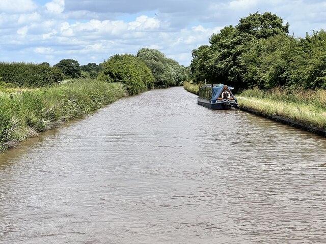
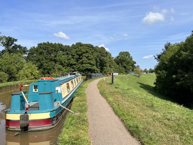
Nantwich Lake, located in the county of Cheshire, England, is a picturesque freshwater body encompassing an area of approximately 6.5 hectares. Situated just south of the town of Nantwich, it is a popular destination for both locals and visitors seeking tranquility and natural beauty.
Nantwich Lake, often referred to as a pool or pond, is surrounded by lush greenery, creating a serene and peaceful atmosphere. The lake is fed by various streams and springs, ensuring a constant supply of freshwater. Its depth varies between one and three meters, providing a suitable habitat for a diverse range of aquatic plants and animals.
The lake also features a freshwater marsh on its northern edge. This marshland is an essential part of the lake's ecosystem, supporting a plethora of plant and animal species. It acts as a natural filter, improving water quality by trapping sediment and absorbing excess nutrients.
Nantwich Lake provides various recreational activities for visitors. Fishing is a popular pastime, with anglers frequently trying their luck to catch species such as carp, roach, and tench. The lake is also a haven for birdwatchers, as it attracts a variety of waterfowl, including swans, ducks, and herons.
The surrounding area offers several amenities for visitors, including walking trails, picnic spots, and a children's play area. The lake is easily accessible, with ample parking facilities available nearby. Local authorities ensure the lake's maintenance and cleanliness, making it an inviting location for a day out in nature.
In conclusion, Nantwich Lake is a charming freshwater body in Cheshire, offering a peaceful escape from the hustle and bustle of everyday life. With its diverse wildlife, recreational activities, and beautiful surroundings, it provides an ideal destination for nature lovers and those seeking a tranquil retreat.
If you have any feedback on the listing, please let us know in the comments section below.
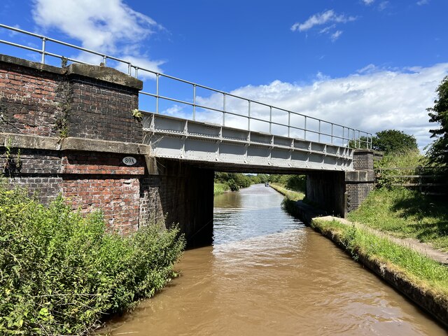
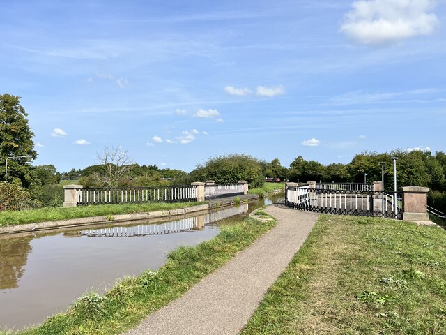
Nantwich Lake Images
Images are sourced within 2km of 53.056631/-2.5249482 or Grid Reference SJ6451. Thanks to Geograph Open Source API. All images are credited.


Nantwich Lake is located at Grid Ref: SJ6451 (Lat: 53.056631, Lng: -2.5249482)
Unitary Authority: Cheshire East
Police Authority: Cheshire
What 3 Words
///wasps.intend.steady. Near Nantwich, Cheshire
Nearby Locations
Related Wikis

Brine Leas School
Brine Leas School is an academy school in Nantwich, Cheshire, England. The school has 1,287 pupils enrolled, and has technology and language status. The...
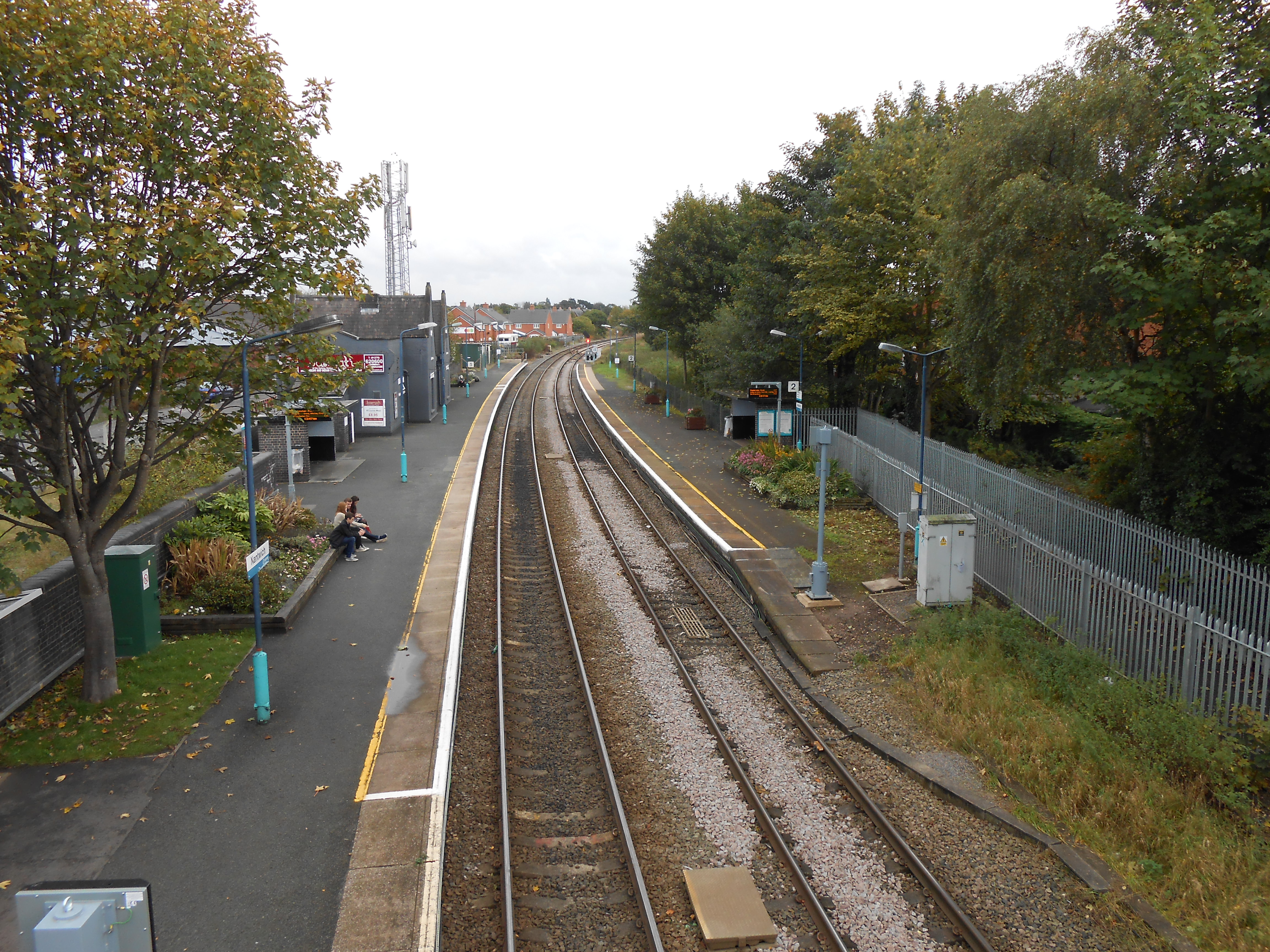
Nantwich railway station
Nantwich railway station serves the town of Nantwich, Cheshire, England. It is on the Crewe to Shrewsbury line 4+1⁄2 miles (7.2 km) south west of Crewe...

Batherton
Batherton is a former civil parish, now in the parish of Stapeley and District, in the unitary authority area of Cheshire East and the ceremonial county...
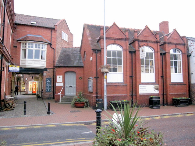
Nantwich Museum
Nantwich Museum is a local museum in the town of Nantwich, Cheshire, northwest England, founded in 1980. The museum is housed in the former public library...
Nearby Amenities
Located within 500m of 53.056631,-2.5249482Have you been to Nantwich Lake?
Leave your review of Nantwich Lake below (or comments, questions and feedback).