Knock Loch

Lake, Pool, Pond, Freshwater Marsh in East Lothian

Scotland

Knock Loch

Ford between Spott and Halls
Ford between Spott and Halls Credit: Andrew Smith

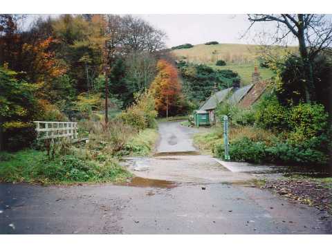
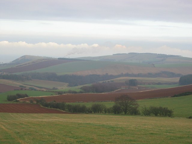
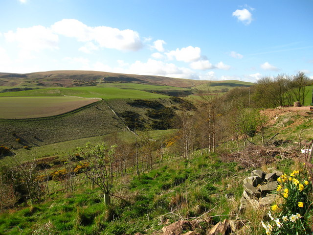
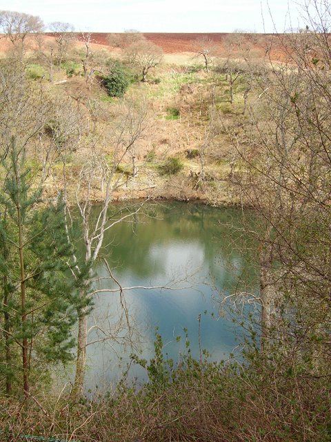
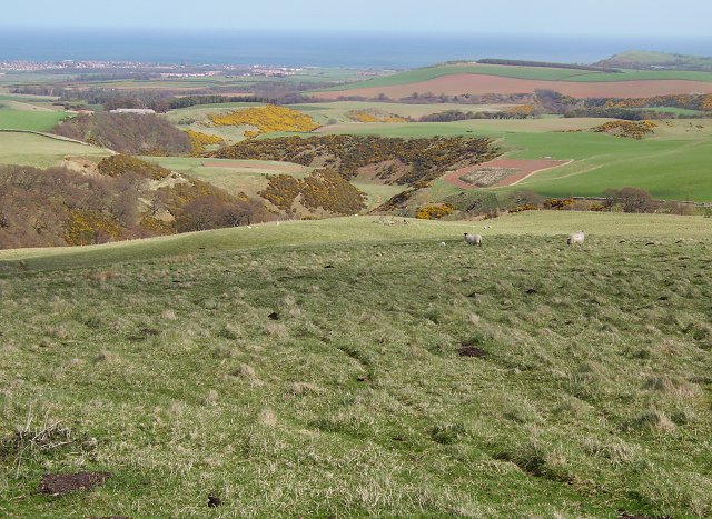
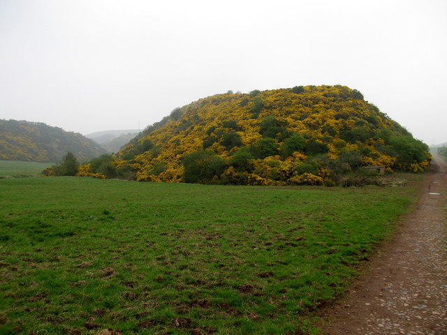
Knock Loch is a picturesque freshwater loch located in East Lothian, Scotland. Nestled amidst rolling hills and lush greenery, this natural gem covers an area of approximately 5 hectares. The loch is renowned for its tranquil and serene atmosphere, making it a popular destination for nature enthusiasts, bird watchers, and those seeking a peaceful retreat.

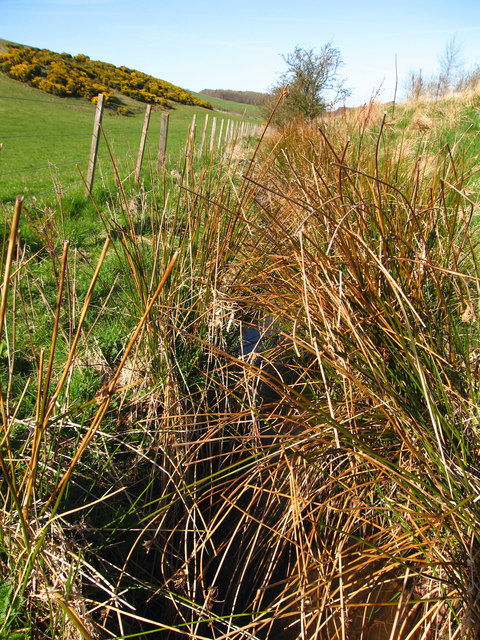
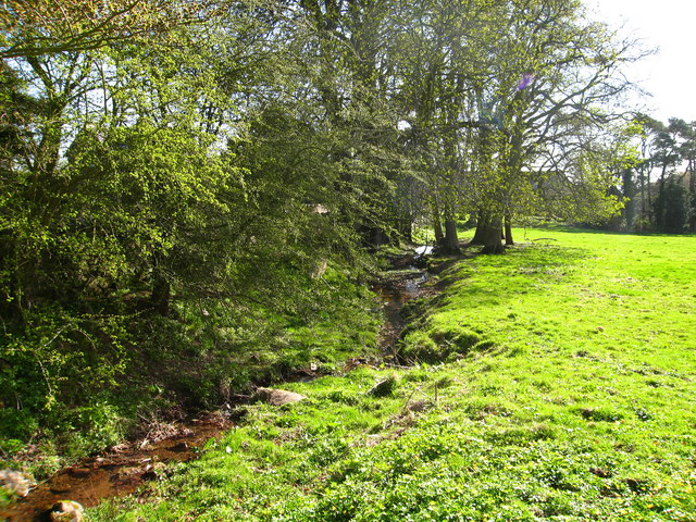
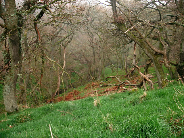
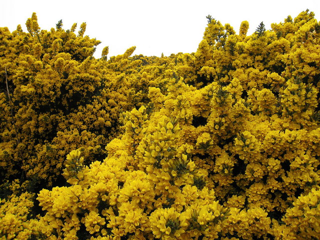
Surrounded by a diverse ecosystem, Knock Loch is home to an array of flora and fauna. The loch itself supports a rich variety of freshwater fish species, including brown trout and pike, attracting anglers from far and wide. The surrounding reed beds and marshes provide a vital habitat for numerous bird species, such as swans, ducks, and herons, making it a haven for birdwatchers throughout the year.

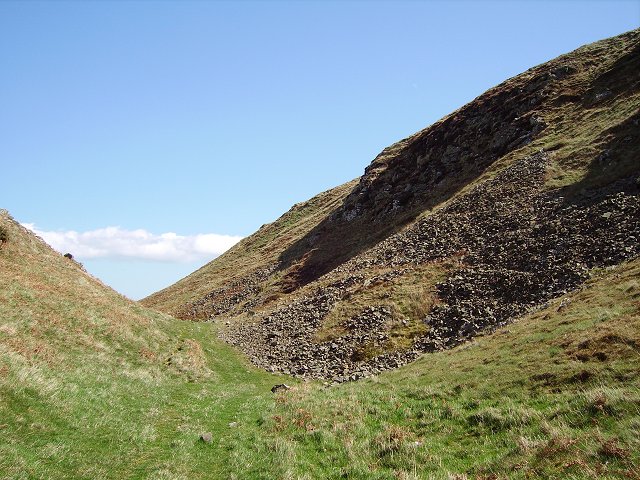
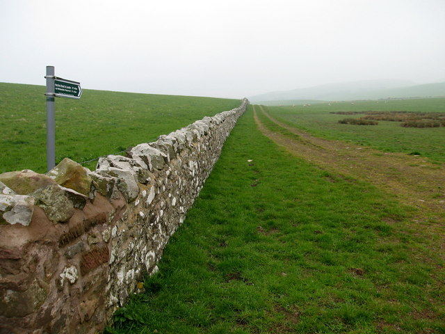
Visitors to Knock Loch can explore the area by foot, following the well-maintained walking trails that traverse the surrounding countryside. The loch offers stunning panoramic views, with its still waters reflecting the surrounding landscape, creating a picturesque scene that is perfect for photography enthusiasts.

The tranquil ambiance of Knock Loch also lends itself to a range of recreational activities. Fishing is a popular pastime here, with permits available for those wishing to cast a line in search of the loch's elusive trout. Additionally, the loch is a great spot for picnics, providing visitors with the opportunity to relax and soak in the natural beauty of the surroundings.

Overall, Knock Loch in East Lothian is a hidden gem, offering a peaceful escape from the hustle and bustle of everyday life. With its diverse wildlife, scenic beauty, and recreational activities, it is a must-visit destination for those seeking a slice of nature's tranquility.

If you have any feedback on the listing, please let us know in the comments section below.
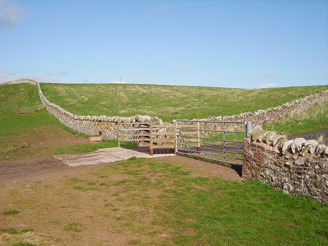
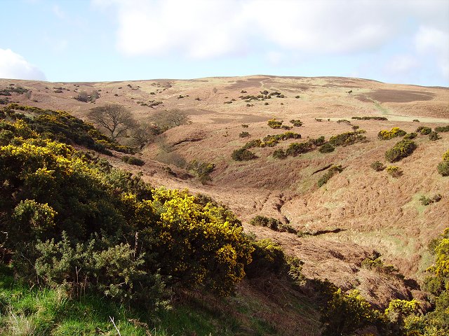
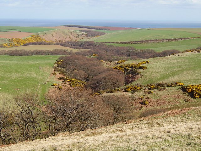
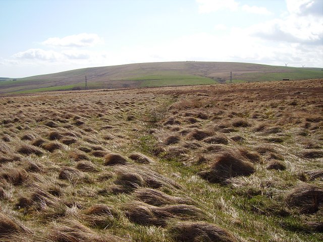
Knock Loch Images

Images are sourced within 2km of 55.941424/-2.5633915 or Grid Reference NT6472. Thanks to Geograph Open Source API. All images are credited.

Ford between Spott and Halls
Gallows Law. 12:00 noon.   Looking east towards the steam plume from Dunbar cement works on an anticyclonic day. It was cloudy here, but sunny a few miles west at Edinburgh,  The condensed water rises so far, until it meets a layer of warmer air and then the cloud spreads. 
The field in the foreground is about to be ploughed.
Gallows Law.
12:00 noon. Looking east towards the steam plume from Dunbar cement works on an anticyclonic day. It was cloudy here, but sunny a few miles west at Edinburgh, The condensed water rises so far, until it meets a layer of warmer air and then the cloud spreads. The field in the foreground is about to be ploughed.
Bennet's Burn, near Spott Drains Eastwards from Pressmennan Lake towards Spott Burn.
Bennet's Burn, near Spott
Drains Eastwards from Pressmennan Lake towards Spott Burn.
Pathhead Farm, near Stenton Farm buildings.
Pathhead Farm, near Stenton
Farm buildings.
Pathhead, near Stenton Small glen at Pathhead through which Cauld Burn flows. Lothian Edge in distance.
Pathhead, near Stenton
Small glen at Pathhead through which Cauld Burn flows. Lothian Edge in distance.
Gairy Burn at Halls, near Spott Halls is a hamlet of a few houses and a farm in East Lothian.
Gairy Burn at Halls, near Spott
Halls is a hamlet of a few houses and a farm in East Lothian.
Cottages at Halls, near Spott Halls is a hamlet of a few houses and a farm in East Lothian.
Cottages at Halls, near Spott
Halls is a hamlet of a few houses and a farm in East Lothian.
Presmennan Lake Near the eastern end, with gulls enjoying a feast on newly cultivated land above.
Presmennan Lake
Near the eastern end, with gulls enjoying a feast on newly cultivated land above.
Herring Road, Hartside End of the tarred surface on the old trade route inland from Dunbar. From here it is 22 mostly moorland miles to Lauder.
Herring Road, Hartside
End of the tarred surface on the old trade route inland from Dunbar. From here it is 22 mostly moorland miles to Lauder.
Ox Cleuch One of several gullies in Lothian Edge. Bracken is a problem here, fortunately it is still dormant underground. Later in the year this scene will be a very different colour.  The steep slopes are part of the Southern Upland boundary fault, leading up to 300m plateau over the skyline.
Ox Cleuch
One of several gullies in Lothian Edge. Bracken is a problem here, fortunately it is still dormant underground. Later in the year this scene will be a very different colour. The steep slopes are part of the Southern Upland boundary fault, leading up to 300m plateau over the skyline.
Cross Burn Dean, wooded with birches just coming into leaf. Here the Cross Burn leaves the sharp cleft of Dryden How and turns north towards Spott.
Cross Burn
Dean, wooded with birches just coming into leaf. Here the Cross Burn leaves the sharp cleft of Dryden How and turns north towards Spott.
Linear marsh, Watch Law The hillside is mostly quite dry, but here a long wet channel provides some drainage. Ideal habitat for Snipe (Gallinago gallinago). Bransly Hill in the distance.
Linear marsh, Watch Law
The hillside is mostly quite dry, but here a long wet channel provides some drainage. Ideal habitat for Snipe (Gallinago gallinago). Bransly Hill in the distance.
On Rammer Dod On the slopes of Lothian Edge, the fresh grass is growing well, providing grazing for ewes and lambs. Below is a deep meltwater valley lined with oakwoods with Dunbar in the distance.
On Rammer Dod
On the slopes of Lothian Edge, the fresh grass is growing well, providing grazing for ewes and lambs. Below is a deep meltwater valley lined with oakwoods with Dunbar in the distance.
Below Lothian Edge A jumble of old watercourses, knolls, crags and screes beneath the Lammermuir Hills. Possibly a series of meltwater channels this is a pleasing landscape of lots of corners and gorse areas , full of wildlife.
Below Lothian Edge
A jumble of old watercourses, knolls, crags and screes beneath the Lammermuir Hills. Possibly a series of meltwater channels this is a pleasing landscape of lots of corners and gorse areas , full of wildlife.
Wooded valley, near Halls The How Burn runs through this steep wooded Lammermuir cleugh.
Wooded valley, near Halls
The How Burn runs through this steep wooded Lammermuir cleugh.
Herring Road Old route running south from Dunbar to Lauder and used to transport salted herring for winter use. Records of inland trade go back to the C17th.
Herring Road
Old route running south from Dunbar to Lauder and used to transport salted herring for winter use. Records of inland trade go back to the C17th.
The Sneep, Halls Gorse clad Lammermuir hillside.
The Sneep, Halls
Gorse clad Lammermuir hillside.
Gorse Vibrant May flowering on Highside Hill, near Halls.
Gorse
Vibrant May flowering on Highside Hill, near Halls.
Show me another place!

Knock Loch is located at Grid Ref: NT6472 (Lat: 55.941424, Lng: -2.5633915)

Unitary Authority: East Lothian

Police Authority: The Lothians and Scottish Borders

What 3 Words

///nipping.haggling.captions. Near Dunbar, East Lothian

Nearby Locations

Staneshal Wood Knock Loch

Related Wikis

Pressmennan Lake

Pressmennan Lake is a lake in East Lothian in Scotland. It is an artificial reservoir constructed in 1819 by a Mr Nesbit who dammed the streams flowing...

Stenton

Stenton (Scots: Staneton) is a parish and village in East Lothian, Scotland. It is bounded on the north by parts of the parishes of Prestonkirk and Dunbar...

Biel, East Lothian

Biel is a village in East Lothian, Scotland, UK, to the south of Dunbar, off the B6370 road. It is situated on the Biel Estate, close to Biel House....

Biel House

Biel House is a historic house on the Biel Estate near Stenton, East Lothian, Scotland. It is a Category A listed building. == House == The present Biel...

Nearby Amenities

Located within 500m of 55.941424,-2.5633915
The Knock
Natural: peak
Lat/Long: 55.9412993/-2.5613727
Power: pole
Lat/Long: 55.9407952/-2.5572617
Power: pole
Lat/Long: 55.941512/-2.5574684
Power: pole
Lat/Long: 55.9422264/-2.5576763
Power: pole
Lat/Long: 55.942844/-2.5578448
Power: pole
Lat/Long: 55.9434578/-2.558022
Power: pole
Lat/Long: 55.9440631/-2.5581948
Power: pole
Lat/Long: 55.9449576/-2.5587572
Power: pole
Lat/Long: 55.9440705/-2.5569892
The data included in this document is from www.openstreetmap.org. The data is made available under ODbL.

Have you been to Knock Loch?

Leave your review of Knock Loch below (or comments, questions and feedback).