Bachymbyd
Settlement in Denbighshire
Wales
Bachymbyd

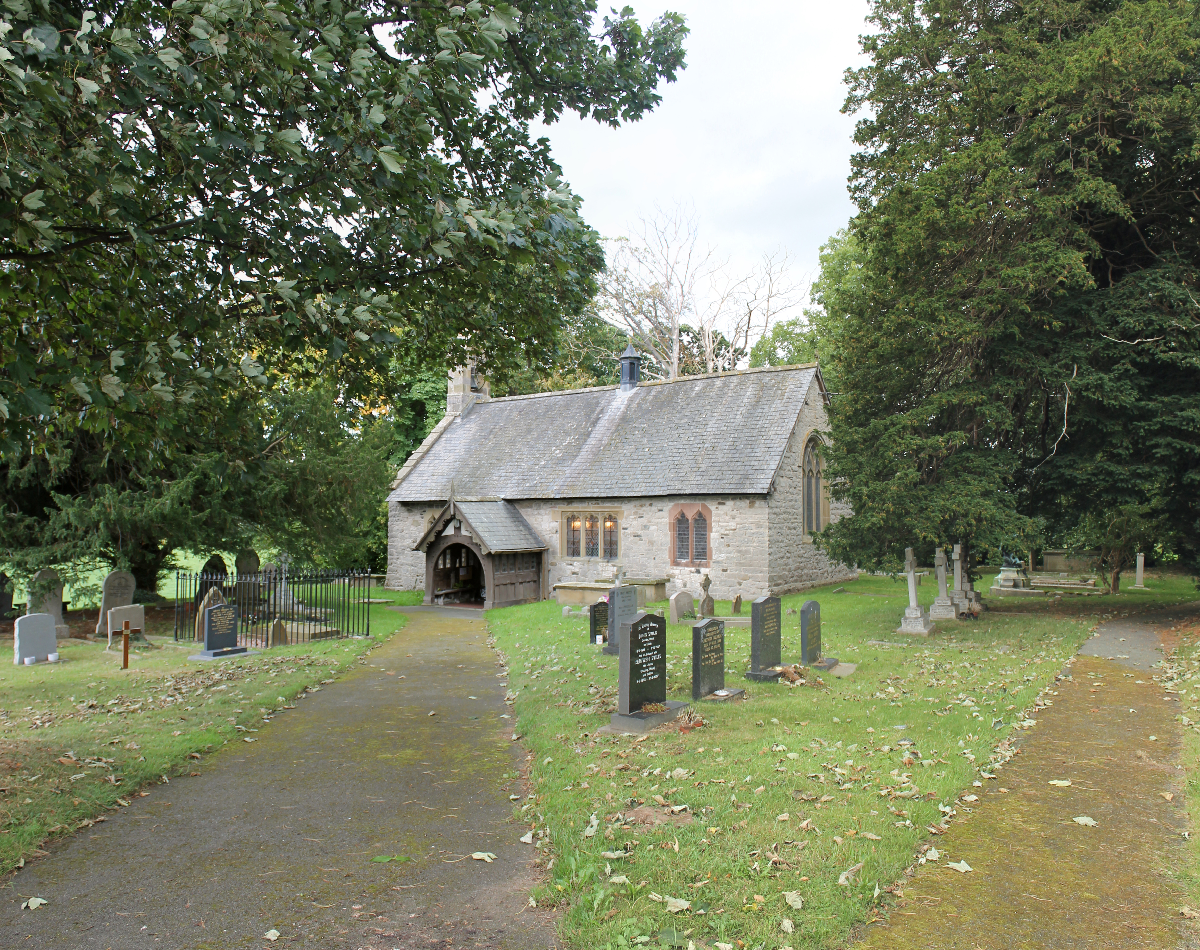
Bachymbyd is a small village located in the county of Denbighshire, Wales. Situated in the picturesque Vale of Clwyd, it is nestled between the towns of Ruthin and Denbigh. The village is surrounded by rolling hills and lush green fields, providing a tranquil and idyllic setting for its residents.
The history of Bachymbyd dates back many centuries, and evidence suggests that it was inhabited during the Roman period. Today, the village retains its traditional charm with a mix of old stone cottages and more modern houses. The local community is tight-knit and friendly, creating a warm and welcoming atmosphere.
Despite its small size, Bachymbyd has a few amenities to offer its residents. There is a village hall that serves as a hub for various community activities and events. Additionally, a small primary school can be found in the village, providing education to local children.
Nature enthusiasts will find plenty to explore in the surrounding area. The nearby Clwydian Range, an Area of Outstanding Natural Beauty, offers breathtaking views and ample opportunities for hiking, cycling, and wildlife spotting. The River Clwyd also flows through the village, providing a peaceful spot for fishing or simply enjoying a leisurely stroll along its banks.
While Bachymbyd may be a quiet and rural village, its proximity to larger towns ensures that residents have access to a wider range of services and amenities. With its beautiful scenery and friendly community, Bachymbyd offers a tranquil and picturesque place to call home.
If you have any feedback on the listing, please let us know in the comments section below.
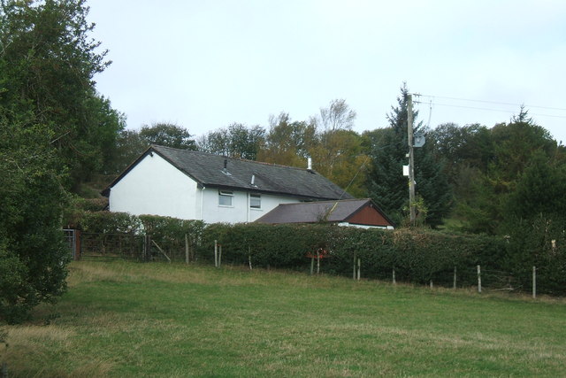
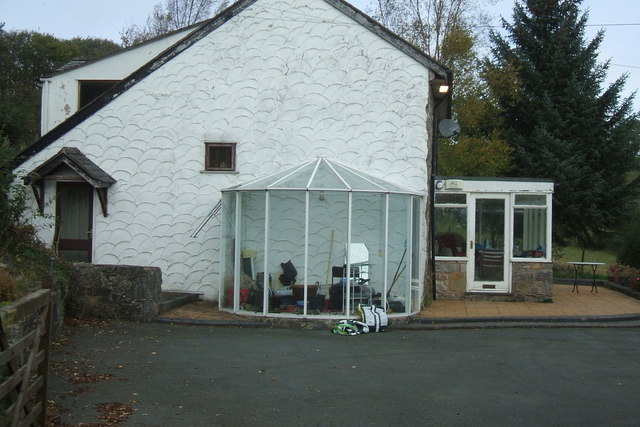
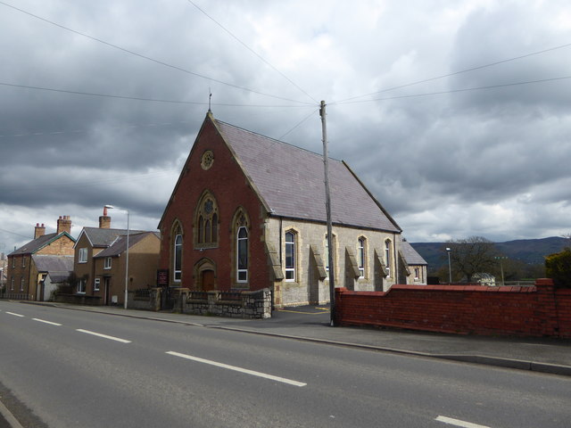
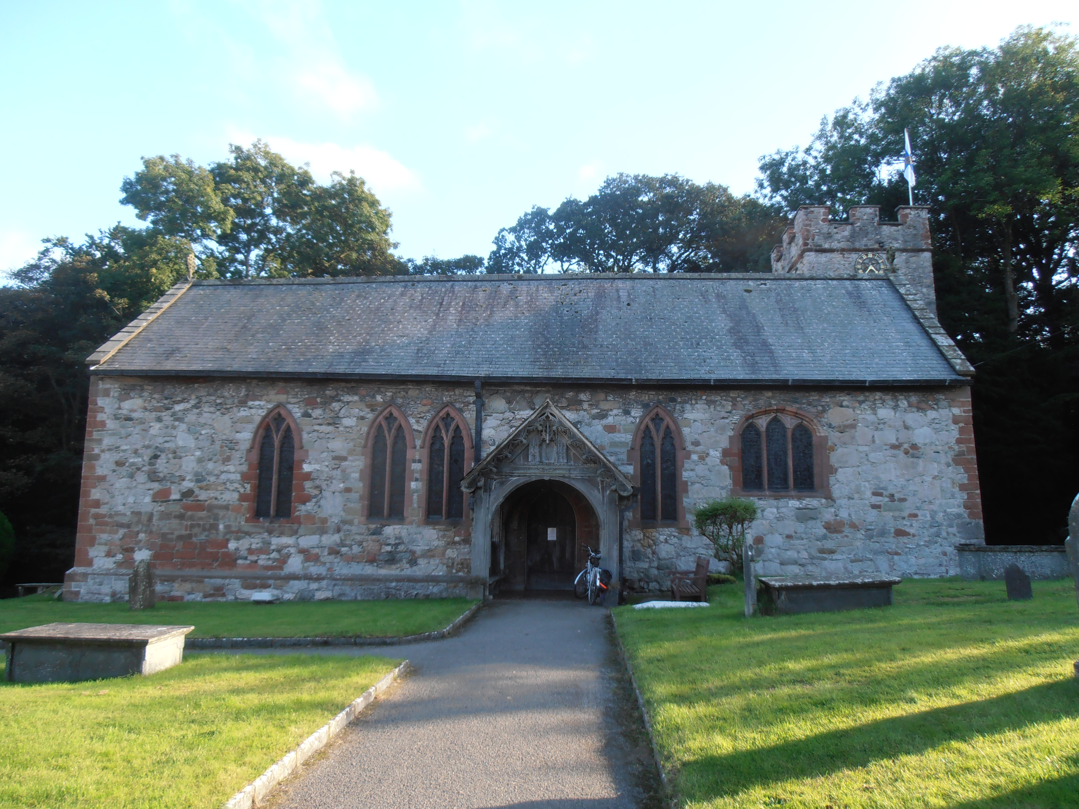
Bachymbyd Images
Images are sourced within 2km of 53.139357/-3.359453 or Grid Reference SJ0961. Thanks to Geograph Open Source API. All images are credited.


Bachymbyd is located at Grid Ref: SJ0961 (Lat: 53.139357, Lng: -3.359453)
Unitary Authority: Denbighshire
Police Authority: North Wales
What 3 Words
///mats.unspoiled.vest. Near Ruthin, Denbighshire
Nearby Locations
Related Wikis

Coed Nant Mawr
Coed Nant Mawr is a Site of Special Scientific Interest in the preserved county of Clwyd, north Wales. It is near to the town of Denbigh. The site is protected...

Rhewl (Llanynys, Denbighshire)
Rhewl is a village on the A525 between Ruthin and Denbigh in the county of Denbighshire in Wales. The village is beside the River Clywedog, which is bridged...

Llanynys
Llanynys (; Welsh: [ɬanˈənɪs]) is a hamlet and community (Llanynys and Rhewl Community Council) in Denbighshire, north-east Wales; (OS grid reference:...
St Saeran's Church, Llanynys
St Saeran's Church lies in the village of Llanynys, Denbighshire, Wales. It was listed by Cadw at Grade I on 19 July 1966 (Cadw Building ID: 808). Between...
Llanrhaiadr railway station
Llanrhaiadr railway station was one mile from the village of Llanrhaeadr-yng-Nghinmeirch, Denbighshire, Wales. The station was opened on 1 March 1862 and...
Rhewl railway station
Rhewl railway station was a station in Rhewl, Llanynys, Denbighshire, Wales. The station was opened on 1 March 1862 and closed on 30 April 1962. The main...
St Dyfnog's Church, Llanrhaeadr
The Church of St Dyfnog, Llanrhaeadr-yng-Nghinmeirch, Denbighshire, Wales, is a parish church dating from the 13th century. The church is most famous for...
Llanychan
Llanychan is a parish near Llandyrnog, Denbighshire, Wales. Covering 567 acres (2.29 km2), it is the smallest parish in the diocese of St Asaph. It is...
Nearby Amenities
Located within 500m of 53.139357,-3.359453Have you been to Bachymbyd?
Leave your review of Bachymbyd below (or comments, questions and feedback).