Logg Pot
Lake, Pool, Pond, Freshwater Marsh in Banffshire
Scotland
Logg Pot
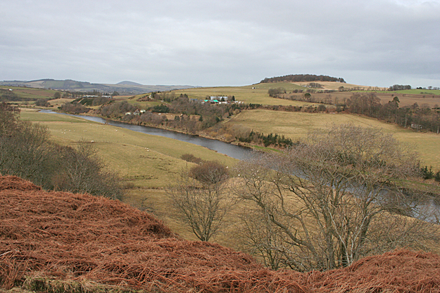
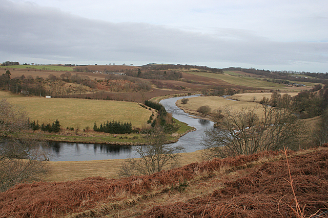
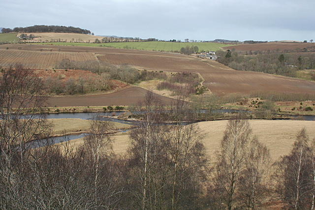
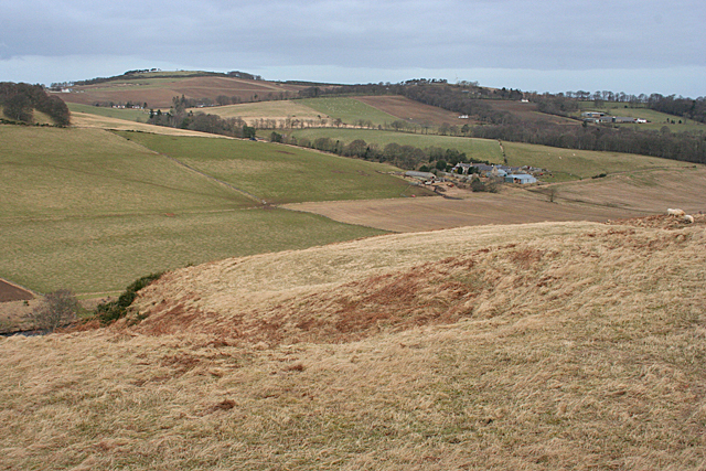
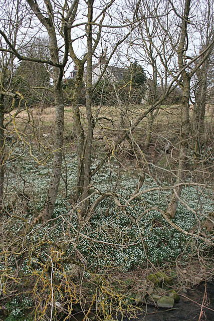
Logg Pot is a picturesque freshwater marsh located in Banffshire, Scotland. Nestled amidst the rolling hills and scenic landscapes, it offers a serene and tranquil environment for visitors to immerse themselves in the beauty of nature.
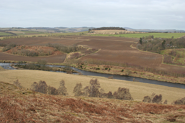
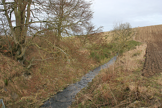
Covering an area of approximately 2 acres, Logg Pot is a natural habitat for a diverse range of flora and fauna. The marsh is characterized by its shallow water, which is rich in nutrients and sustains a variety of aquatic plants such as reeds, water lilies, and cattails. These plants not only enhance the visual appeal of the pot but also provide shelter and food for various species of birds, insects, and small mammals.
The calm waters of Logg Pot attract numerous bird species, making it a popular spot for birdwatching enthusiasts. Different species of waterfowl, including ducks, geese, and swans, can be spotted gracefully gliding across the surface of the pot. The surrounding vegetation also provides nesting sites for many birds, enhancing the biodiversity of the area.
The pot is also home to an array of fish species, such as perch, roach, and pike. Anglers often visit Logg Pot to enjoy a peaceful fishing experience, surrounded by the stunning natural scenery.
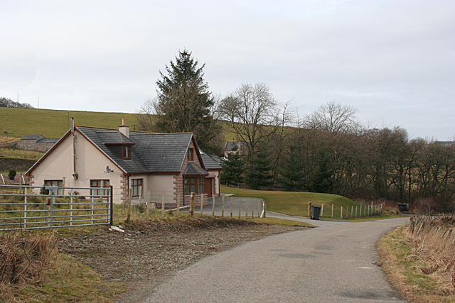
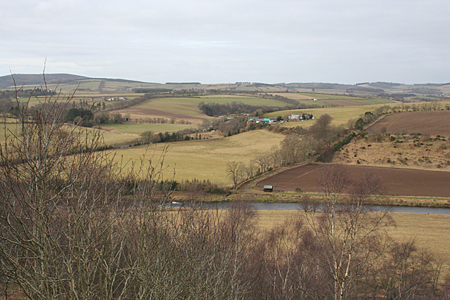
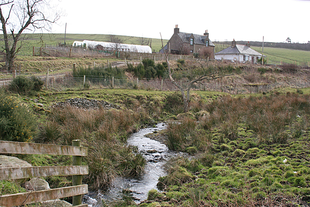
The marsh is easily accessible via a walking trail that winds through the surrounding countryside. This trail allows visitors to appreciate the beauty of Logg Pot from various vantage points, offering stunning views of the surrounding hills and the calm waters of the pot.
Overall, Logg Pot in Banffshire is a haven for nature lovers, providing a unique and captivating experience of Scotland's pristine freshwater ecosystems.
If you have any feedback on the listing, please let us know in the comments section below.
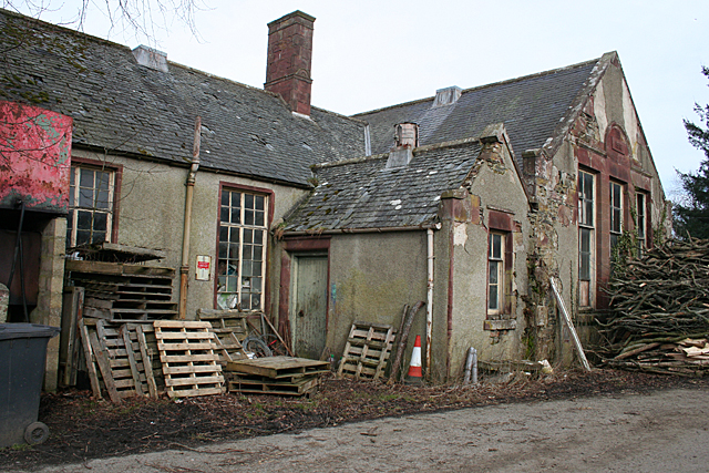
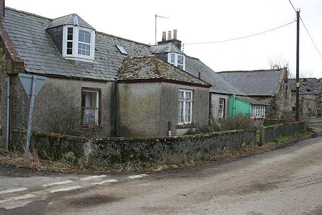
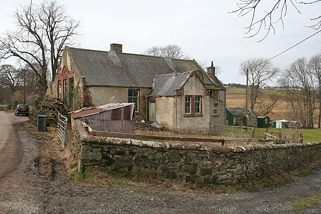
Logg Pot Images
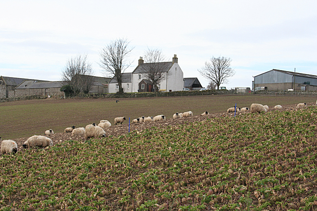
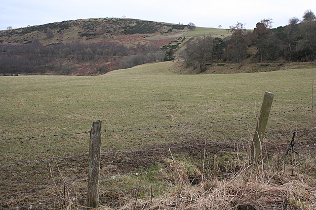
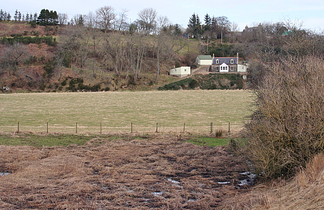
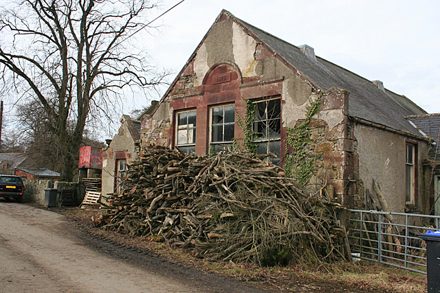
Images are sourced within 2km of 57.511407/-2.6092807 or Grid Reference NJ6346. Thanks to Geograph Open Source API. All images are credited.
Logg Pot is located at Grid Ref: NJ6346 (Lat: 57.511407, Lng: -2.6092807)
Unitary Authority: Aberdeenshire
Police Authority: North East
What 3 Words
///chugging.fantastic.scored. Near Aberchirder, Aberdeenshire
Nearby Locations
Related Wikis

Inverkeithny
Inverkeithny is a village in the Formartine area of Aberdeenshire, Scotland. The village lies near where the Burn of Forgue flows into the River Deveron...
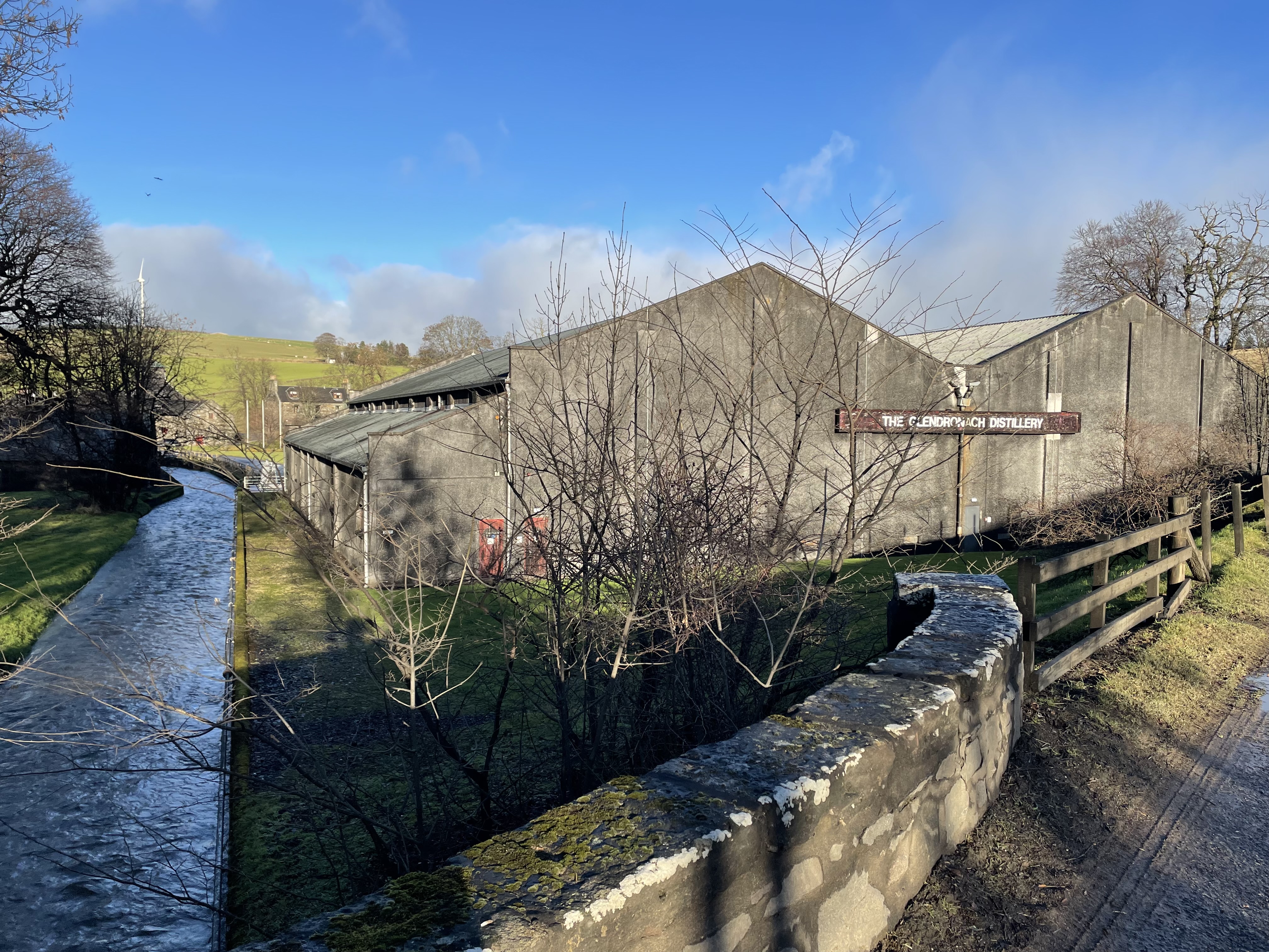
Glendronach distillery
Glendronach distillery is a Scottish whisky distillery located near Forgue, by Huntly, Aberdeenshire, in the Highland whisky district. It was owned by...

Yonder Bognie
Yonder Bognie is a stone circle in Aberdeenshire, Scotland. It is located in an agricultural field under private ownership and is a scheduled monument...

Forgue
Forgue is a hamlet in Aberdeenshire. It lies 35 miles (56 km) northwest of Aberdeen and 8 miles (13 km) northeast of Huntly. The Glendronach distillery...
Nearby Amenities
Located within 500m of 57.511407,-2.6092807Have you been to Logg Pot?
Leave your review of Logg Pot below (or comments, questions and feedback).