Rosamond's Pond

Lake, Pool, Pond, Freshwater Marsh in Angus

Scotland

Rosamond's Pond

Butterbur (Petasites hybridus) The male flower which is shown here is the more common and the flower heads can grow to a height of 40cm.  The plant grows in wet places and it is here growing beside the Pantaskel Burn.
Butterbur (Petasites hybridus) Credit: Maigheach-gheal

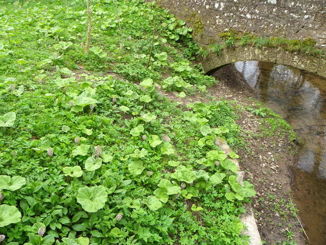
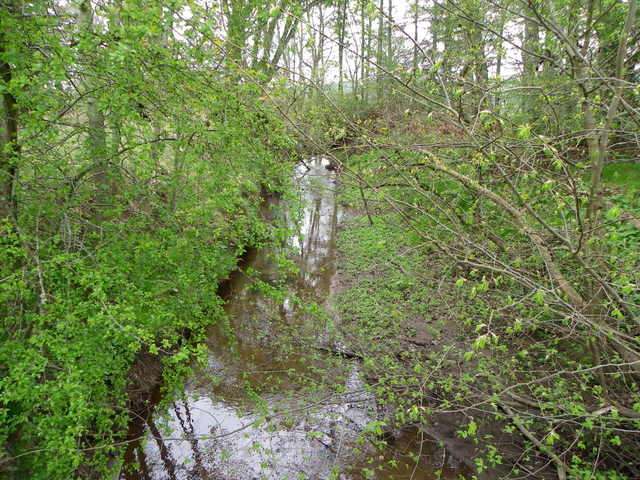
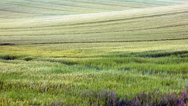
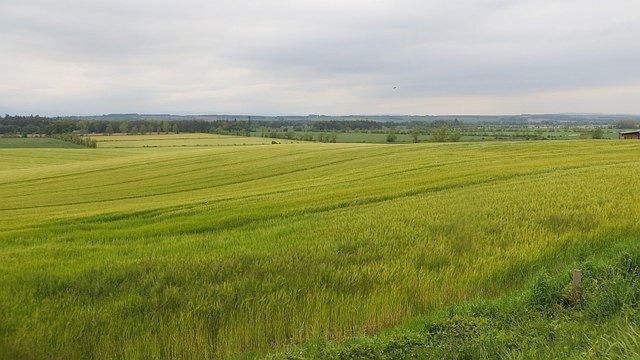
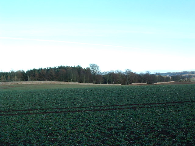
Rosamond's Pond, located in Angus, is a serene freshwater pond encompassing an area of approximately 2 acres. Nestled amidst lush greenery and enchanting landscapes, it is a popular recreational spot for locals and tourists alike. Although referred to as a pond, Rosamond's Pond possesses characteristics of a lake, pool, pond, and freshwater marsh.

The pond is fed by several natural springs that well up from the earth, ensuring a constant flow of freshwater. It boasts crystal-clear waters that reflect the vibrant hues of the surrounding flora. The pond's depth varies, with some areas reaching up to 15 feet, providing ample opportunities for swimming and diving enthusiasts.

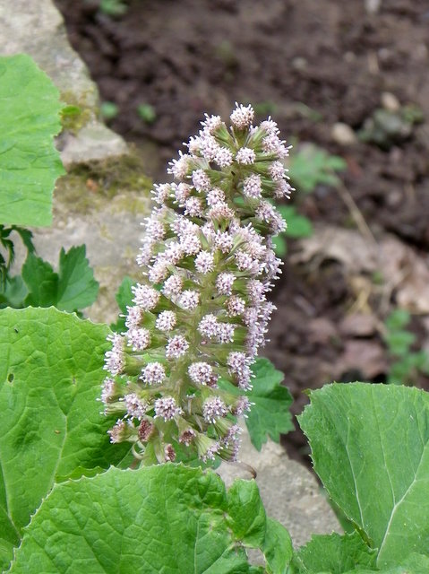
Rosamond's Pond is also home to a diverse range of aquatic plant species, including water lilies, cattails, and various submerged plants. These plants not only enhance the pond's natural beauty but also provide habitat and food for numerous aquatic creatures.

Speaking of wildlife, the pond supports a rich ecosystem. Visitors can spot various species of fish, such as bass, trout, and perch, making it a popular destination for fishing enthusiasts. The pond also attracts an array of bird species, including ducks, herons, and kingfishers, creating a haven for birdwatchers.

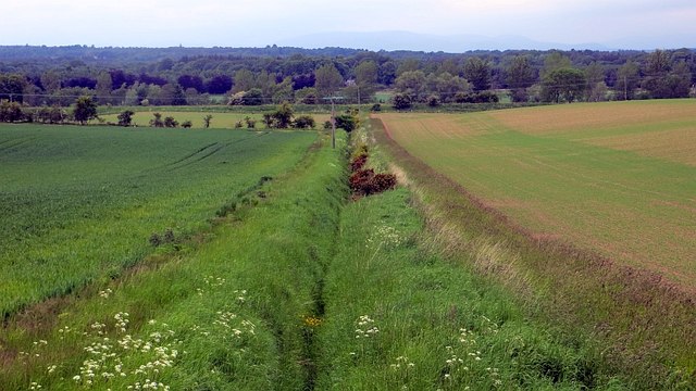
Surrounded by walking trails and picnic spots, Rosamond's Pond offers a tranquil escape from the bustle of everyday life. Visitors can enjoy leisurely strolls, picnics with family and friends, or simply bask in the serenity of nature. Whether you seek relaxation, adventure, or a chance to immerse yourself in the beauty of the natural world, Rosamond's Pond in Angus is a must-visit destination.

If you have any feedback on the listing, please let us know in the comments section below.

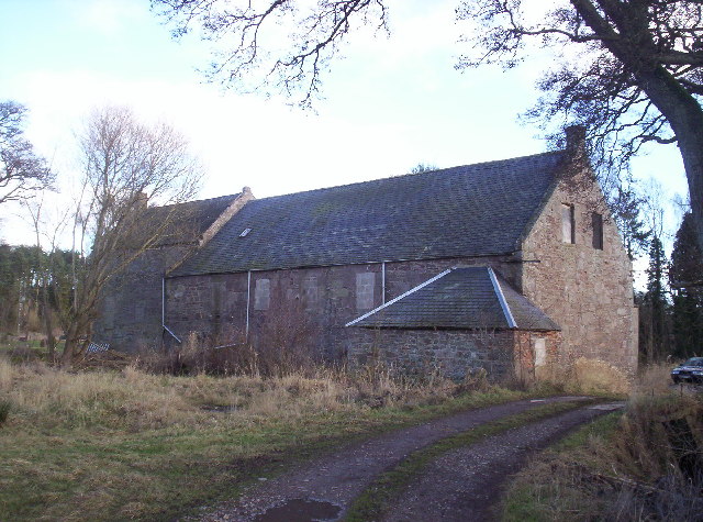
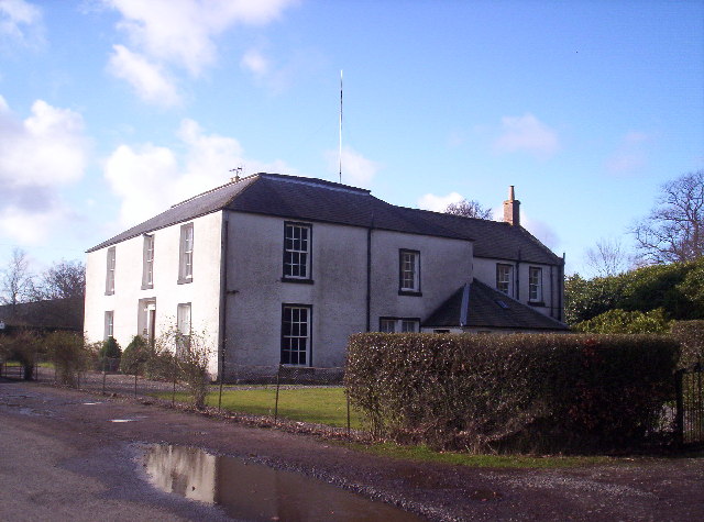
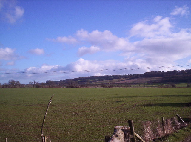
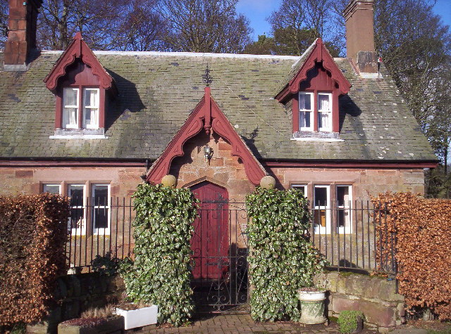
Rosamond's Pond Images

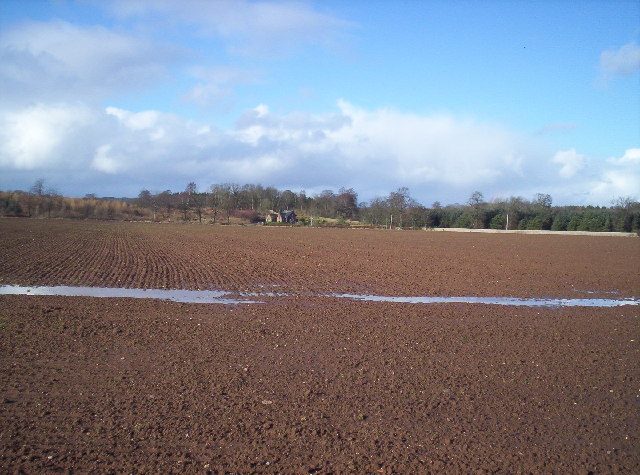
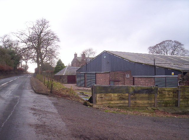
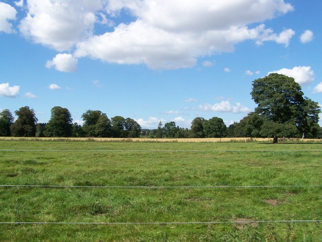
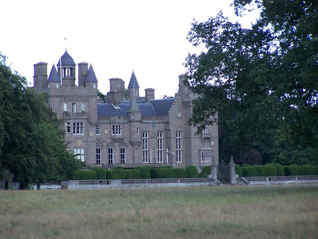
Images are sourced within 2km of 56.703349/-2.5969412 or Grid Reference NO6357. Thanks to Geograph Open Source API. All images are credited.

Butterbur (Petasites hybridus) The male flower which is shown here is the more common and the flower heads can grow to a height of 40cm.  The plant grows in wet places and it is here growing beside the Pantaskel Burn.
Butterbur (Petasites hybridus)
The male flower which is shown here is the more common and the flower heads can grow to a height of 40cm. The plant grows in wet places and it is here growing beside the Pantaskel Burn.
Butterbur beside the Pantaskel Burn The leaves of the butterbur follow the flowers and they can grow to a great size during the summer.  Tradition has it that the leaves were used for wrapping butter.
Butterbur beside the Pantaskel Burn
The leaves of the butterbur follow the flowers and they can grow to a great size during the summer. Tradition has it that the leaves were used for wrapping butter.
The Pantaskel Burn Looking downstream from Ash Bridge.
The Pantaskel Burn
Looking downstream from Ash Bridge.
Ditch, Carcary Any stock proof boundary has long gone, it's all arable here now. The Caledonian Railway's route to Aberdeen can be seen in the background.
Ditch, Carcary
Any stock proof boundary has long gone, it's all arable here now. The Caledonian Railway's route to Aberdeen can be seen in the background.
Barley, Carcary Land sloping down to the carse around Montrose Basin.
Barley, Carcary
Land sloping down to the carse around Montrose Basin.
Barley, Carcary Big field sloping down to carse land.
Barley, Carcary
Big field sloping down to carse land.
Farnell Church Farnell, a few houses off the A933 Brechin to Arbroath road that used to have the
Bridge of Dun to Friockheim/Forfar railway pass nearby
Farnell Church
Farnell, a few houses off the A933 Brechin to Arbroath road that used to have the Bridge of Dun to Friockheim/Forfar railway pass nearby
Kinnaird Part of the 15km (approx) wall that encloses Kinnaird Castle and park near Brechin, taken 1km north of Farnell.
Kinnaird
Part of the 15km (approx) wall that encloses Kinnaird Castle and park near Brechin, taken 1km north of Farnell.
Balbirnie Mill It has been converted to a private house.
Balbirnie Mill
It has been converted to a private house.
Fields Looking Towards the Edge of Rossie Moor
Cute Gate House One of several attractive gatehouses on the Kinnaird Estate.
Cute Gate House
One of several attractive gatehouses on the Kinnaird Estate.
Muddy Field and Another Attractive Cottage
Carcary Dairy Farm and A934
Fields in Kinnaird Park Kinnaird Park is an estate on the Edge of Brechin. It is mostly farmland but it also has a deer park and a rather beautiful castle.
Fields in Kinnaird Park
Kinnaird Park is an estate on the Edge of Brechin. It is mostly farmland but it also has a deer park and a rather beautiful castle.
Kinnaird Castle Welcome to Kinnaird Castle, Brechin, the home of the Earl and Countess of Southesk.  The castle has been in the family for over 600 years and lies amidst 1300 acres of magnificent walled parkland nestled between the unspoiled Angus coastline and the gently rolling glens.  Most of the second floor of the castle has been transformed into two luxuriously appointed holiday apartments, which can be enjoyed in every season.  Opportunities for sightseeing and golf abound in this largely undiscovered and sunny county. Many guests never want to leave the estate itself, embarking on miles of varied walks through open countryside and woodlands dotted with follies, watching rare natural species and enjoying the tremendous fishing and shooting. We hope that you will want to come and find out for yourself. 
<span class="nowrap"><a title="http://www.southesk.co.uk/" rel="nofollow ugc noopener" href="http://www.southesk.co.uk/">Link</a><img style="margin-left:2px;" alt="External link" title="External link - shift click to open in new window" src="https://s1.geograph.org.uk/img/external.png" width="10" height="10"/></span>
Kinnaird Castle
Welcome to Kinnaird Castle, Brechin, the home of the Earl and Countess of Southesk. The castle has been in the family for over 600 years and lies amidst 1300 acres of magnificent walled parkland nestled between the unspoiled Angus coastline and the gently rolling glens. Most of the second floor of the castle has been transformed into two luxuriously appointed holiday apartments, which can be enjoyed in every season. Opportunities for sightseeing and golf abound in this largely undiscovered and sunny county. Many guests never want to leave the estate itself, embarking on miles of varied walks through open countryside and woodlands dotted with follies, watching rare natural species and enjoying the tremendous fishing and shooting. We hope that you will want to come and find out for yourself. LinkExternal link
Farnell Village / Bridge of Dun Junction
Show me another place!

Rosamond's Pond is located at Grid Ref: NO6357 (Lat: 56.703349, Lng: -2.5969412)

Unitary Authority: Angus

Police Authority: Tayside

What 3 Words

///lads.wonderfully.strides. Near Brechin, Angus

Related Wikis

Kinnaird Castle, Brechin

Kinnaird Castle is a 15th-century castle near Brechin in Angus, Scotland. The castle has been home to the Carnegie family, the Earls of Southesk, for more...

Farnell, Angus

Farnell is a village in Angus, Scotland. It lies 2 miles south of the River South Esk, between Brechin and Montrose, near Kinnaird Castle. == References ==

Farnell Road railway station

Farnell Road railway station served the village of Farnell, Angus, Scotland from 1848 to 1956 on the Aberdeen Railway. == History == The station opened...

Bridge of Dun

Bridge of Dun is a village in Angus, Scotland, located north of the River South Esk and south of the A935 road from Brechin to Montrose. == History... ==

Nearby Amenities

Located within 500m of 56.703349,-2.5969412
East Lodge
Place: isolated_dwelling
Lat/Long: 56.704904/-2.5937719
Deer Park
Leisure: park
Lat/Long: 56.7014638/-2.6036065
Byres
Place: isolated_dwelling
Lat/Long: 56.7063667/-2.5980964
Dairy Bungalow
Place: isolated_dwelling
Lat/Long: 56.7069026/-2.5974526
The data included in this document is from www.openstreetmap.org. The data is made available under ODbL.

Have you been to Rosamond's Pond?

Leave your review of Rosamond's Pond below (or comments, questions and feedback).