Emma's Pond
Lake, Pool, Pond, Freshwater Marsh in Lancashire Ribble Valley
England
Emma's Pond

Emma's Pond is a serene freshwater marsh located in the picturesque county of Lancashire, England. Situated amidst the stunning countryside, this natural water body is frequented by locals and tourists alike, seeking a peaceful retreat from the hustle and bustle of urban life.
Spanning an area of approximately 2 acres, Emma's Pond boasts crystal-clear waters that shimmer in the sunlight. Surrounded by lush greenery and tall reeds, the pond offers a tranquil setting for visitors to unwind and connect with nature. The diverse flora and fauna found in and around the pond make it a haven for wildlife enthusiasts and birdwatchers.
The pond is home to a variety of aquatic plants such as water lilies and duckweed, which not only add to its aesthetic charm but also provide a habitat for numerous species of fish, frogs, and insects. The surrounding marshland is a breeding ground for several bird species, including ducks, herons, and kingfishers, making it a popular spot for birdwatching enthusiasts.
Visitors to Emma's Pond can enjoy a leisurely stroll along the well-maintained pathways that encircle the water body, offering panoramic views and ample seating areas for contemplation and relaxation. The tranquil atmosphere is further enhanced by the gentle sounds of birdsong and the occasional rustling of the wind through the reeds.
Whether one seeks solitude, birdwatching opportunities, or simply a scenic spot to enjoy a picnic, Emma's Pond in Lancashire offers a delightful natural oasis that captivates visitors with its beauty and serenity.
If you have any feedback on the listing, please let us know in the comments section below.
Emma's Pond Images
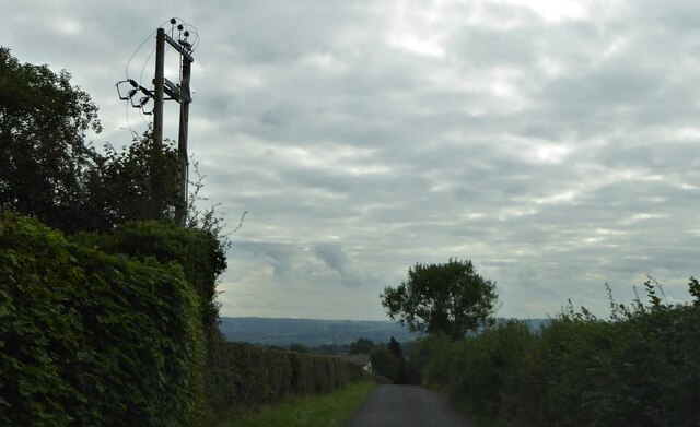
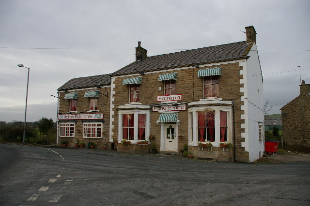
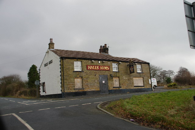
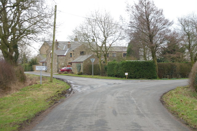
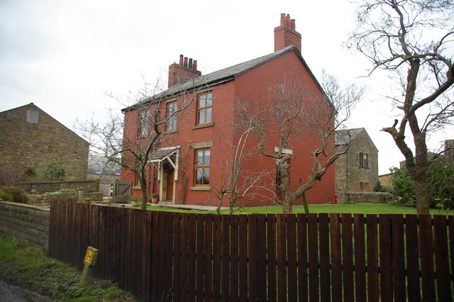
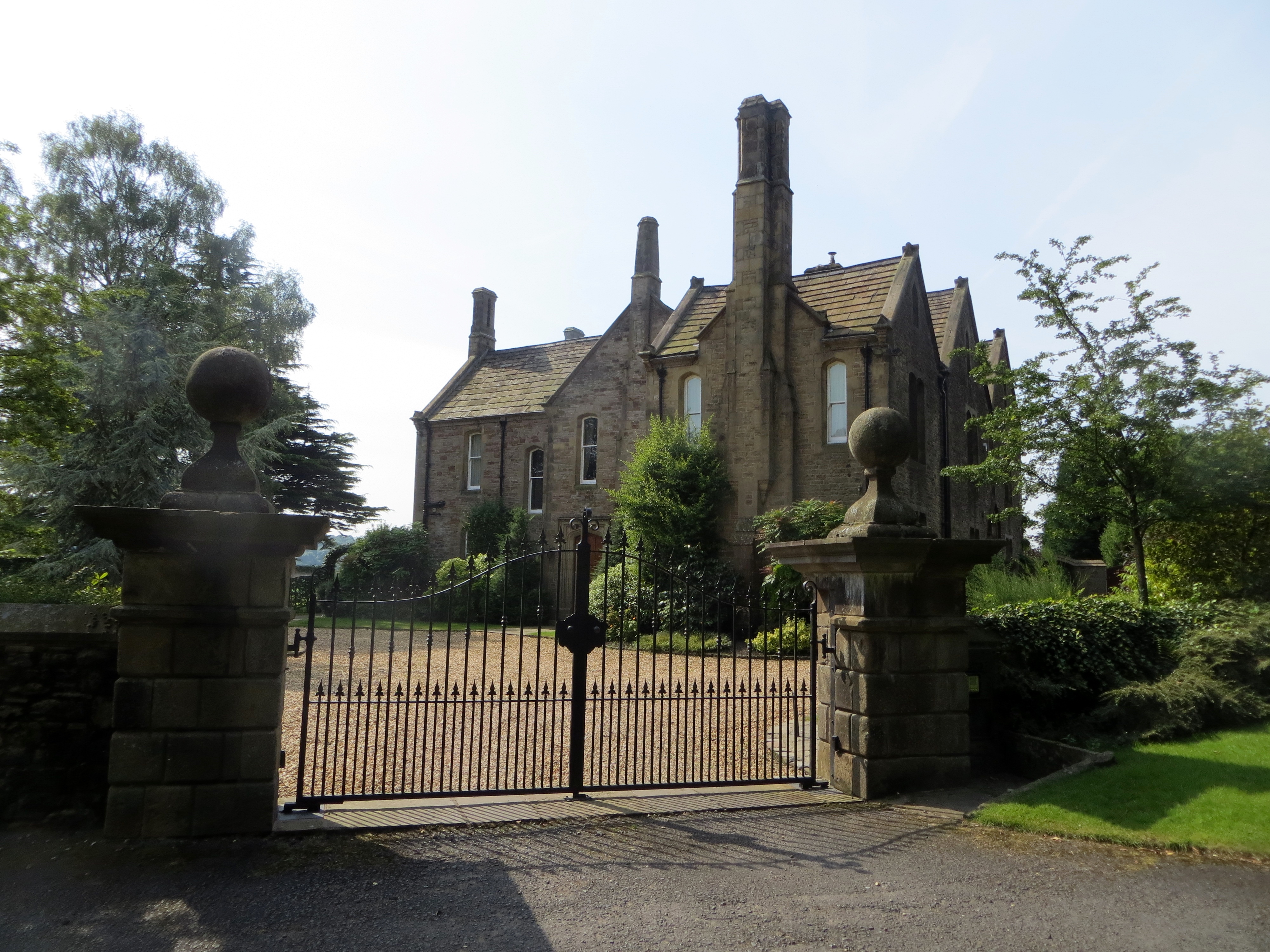
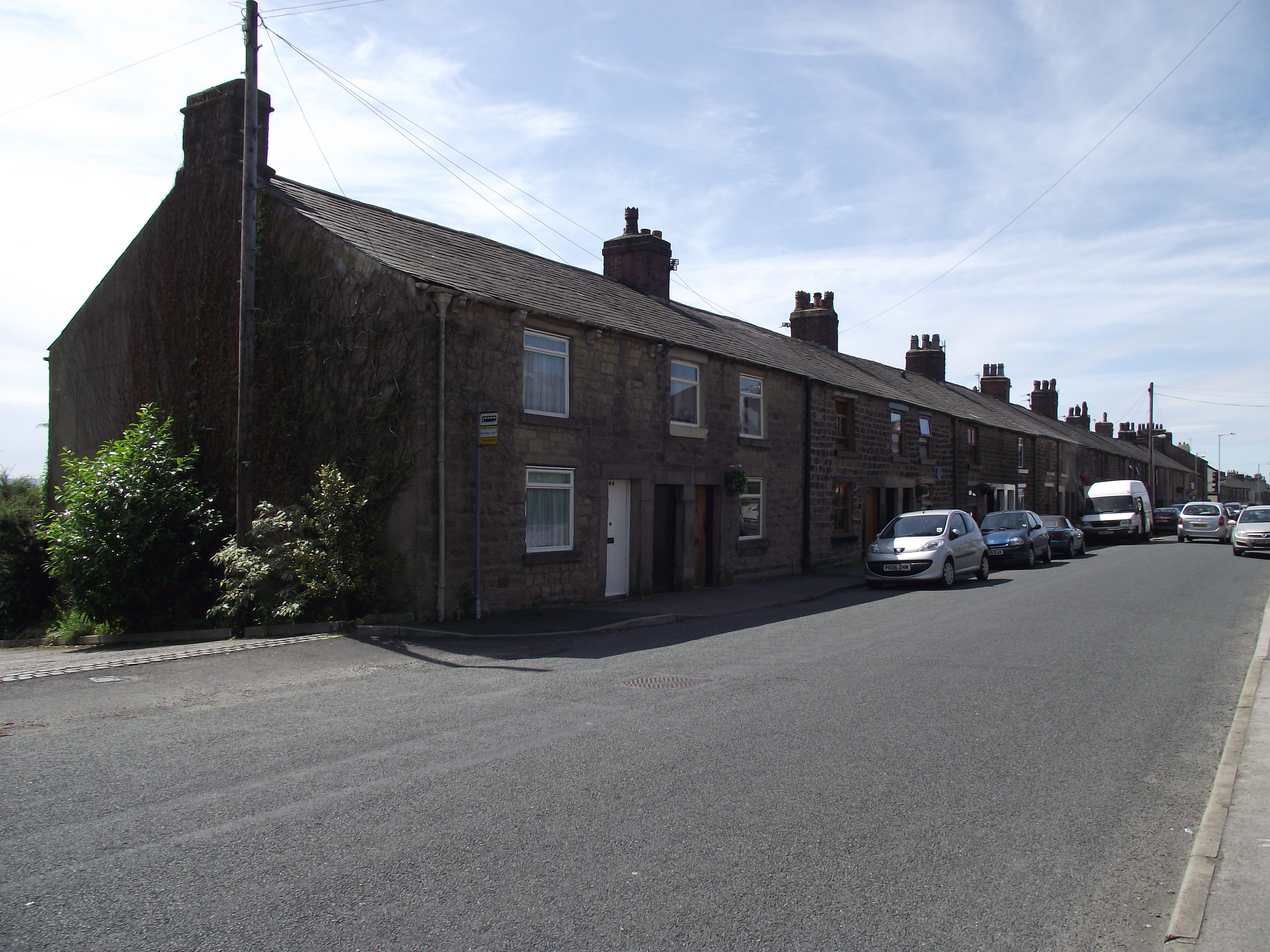
Images are sourced within 2km of 53.831699/-2.5610031 or Grid Reference SD6337. Thanks to Geograph Open Source API. All images are credited.


Emma's Pond is located at Grid Ref: SD6337 (Lat: 53.831699, Lng: -2.5610031)
Administrative County: Lancashire
District: Ribble Valley
Police Authority: Lancashire
What 3 Words
///taps.detective.everyone. Near Longridge, Lancashire
Nearby Locations
Related Wikis

Longridge Golf Club
Longridge Golf Club, in Longridge, England, was founded around 1915, making it one of the oldest golf clubs in the county of Lancashire. Situated on Longridge...
Longridge circuit
Longridge Circuit was a motor racing circuit built in the former Tootle Heights quarry close to Longridge, Lancashire, England. This circuit may be unique...
Hothersall
Hothersall is a civil parish in the Ribble Valley district, in Lancashire, England. The parish, which is on the north bank of the River Ribble, is rural...
Club Row, Longridge
Club Row is a row of sandstone terraced houses on Higher Road in the English market town of Longridge, Lancashire, built between 1793 and 1804. Grade II...
Nearby Amenities
Located within 500m of 53.831699,-2.5610031Have you been to Emma's Pond?
Leave your review of Emma's Pond below (or comments, questions and feedback).