Simon's Wood
Wood, Forest in Lancashire Ribble Valley
England
Simon's Wood

Simon's Wood is a beautiful forest located in the county of Lancashire, England. Situated near the village of Simonstone, the wood covers an area of approximately 50 acres, making it a relatively small but picturesque woodland area.
The wood is predominantly composed of native broadleaf trees such as oak, beech, and birch, which create a dense and verdant canopy overhead, providing a habitat for a diverse range of wildlife. The forest floor is covered with a rich carpet of wildflowers and ferns, adding to the woodland's natural beauty.
Simon's Wood is a popular destination for nature enthusiasts, walkers, and photographers, who are drawn to its tranquil atmosphere and stunning scenery. There are several well-maintained footpaths that wind their way through the wood, allowing visitors to explore its hidden corners and discover its hidden treasures.
In addition to its natural splendor, Simon's Wood also holds historical significance. It is believed to have been part of the ancient hunting grounds of the local nobility and has remnants of ancient boundary walls and stone structures that add a touch of mystery and intrigue to the woodland.
The wood is open to the public year-round and is managed by a local conservation group, ensuring its preservation and protection for future generations to enjoy. With its combination of natural beauty, wildlife, and historical features, Simon's Wood is a true gem of Lancashire's countryside, offering a peaceful retreat from the hustle and bustle of modern life.
If you have any feedback on the listing, please let us know in the comments section below.
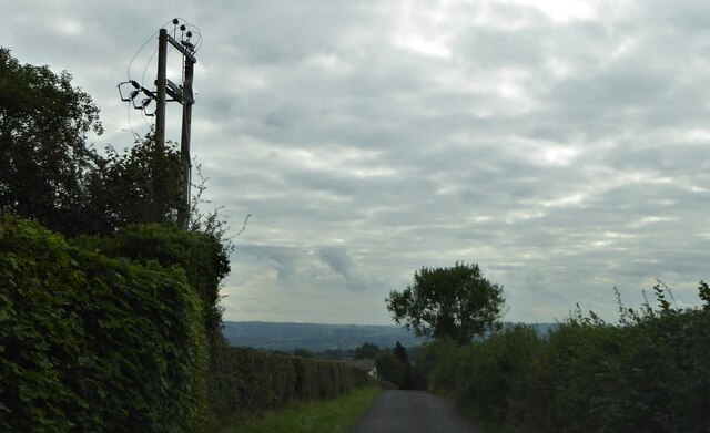
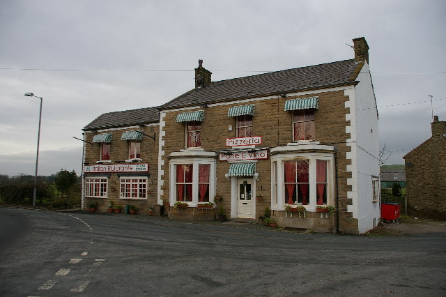
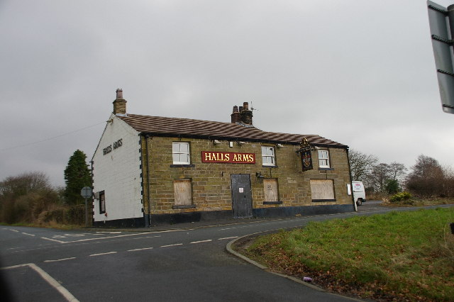
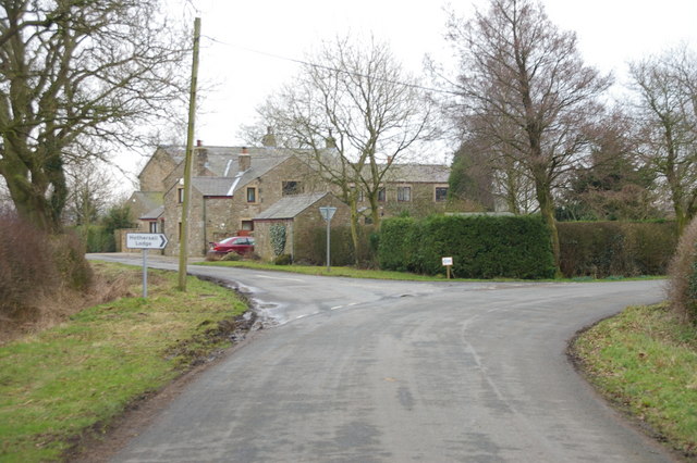
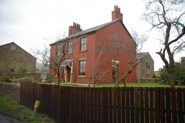
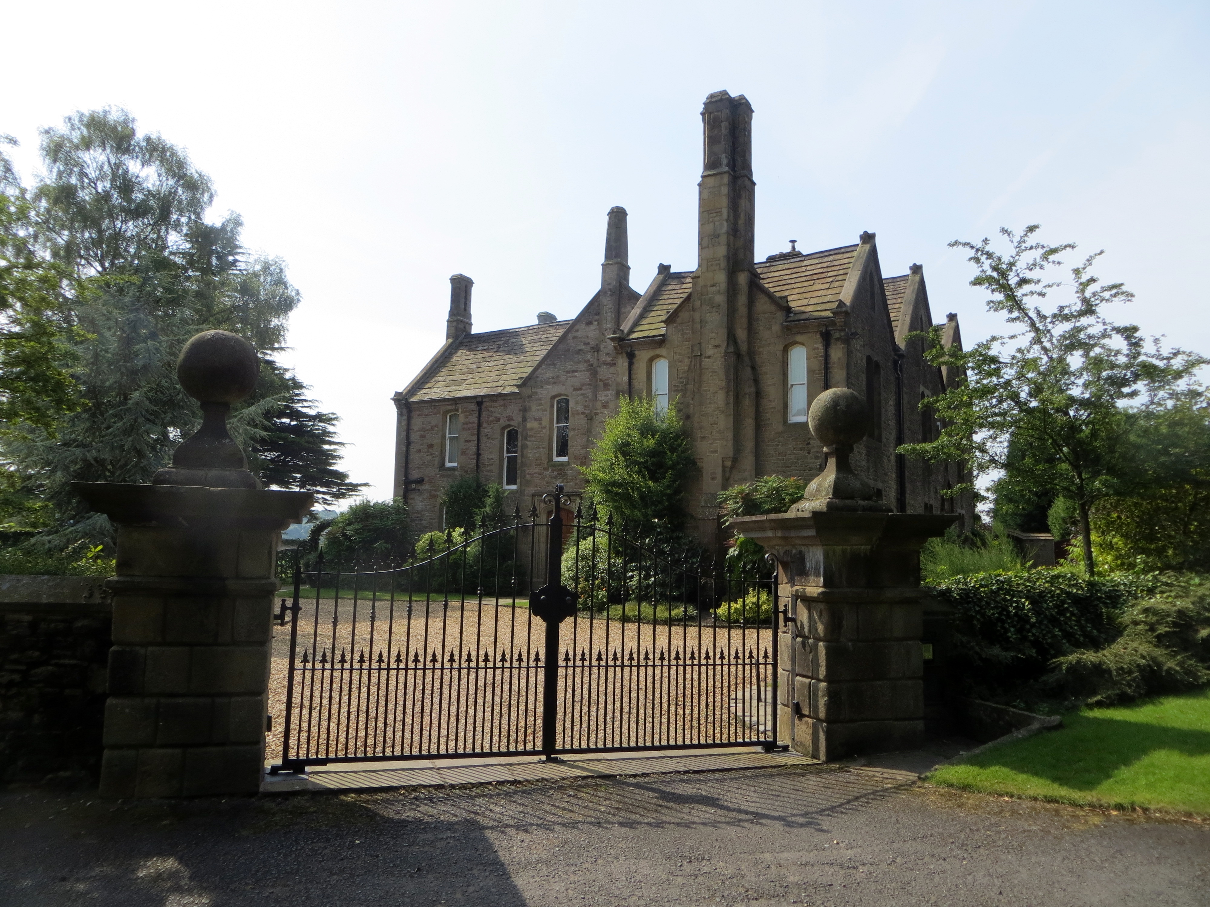
Simon's Wood Images
Images are sourced within 2km of 53.832157/-2.5611459 or Grid Reference SD6337. Thanks to Geograph Open Source API. All images are credited.


Simon's Wood is located at Grid Ref: SD6337 (Lat: 53.832157, Lng: -2.5611459)
Administrative County: Lancashire
District: Ribble Valley
Police Authority: Lancashire
What 3 Words
///awake.stubble.inclines. Near Longridge, Lancashire
Nearby Locations
Related Wikis

Longridge Golf Club
Longridge Golf Club, in Longridge, England, was founded around 1915, making it one of the oldest golf clubs in the county of Lancashire. Situated on Longridge...
Longridge circuit
Longridge Circuit was a motor racing circuit built in the former Tootle Heights quarry close to Longridge, Lancashire, England. This circuit may be unique...
Hothersall
Hothersall is a civil parish in the Ribble Valley district, in Lancashire, England. The parish, which is on the north bank of the River Ribble, is rural...
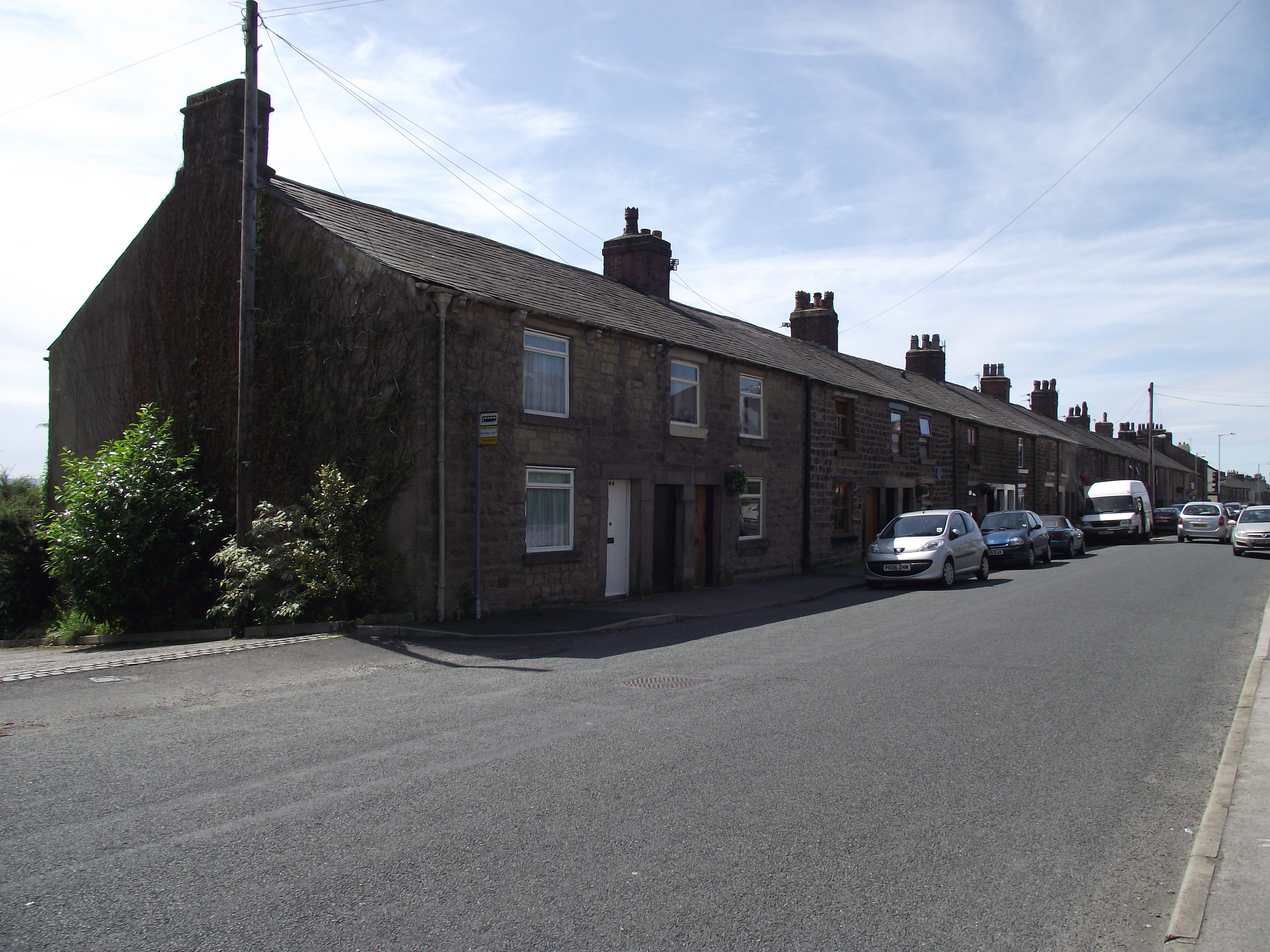
Club Row, Longridge
Club Row is a row of sandstone terraced houses on Higher Road in the English market town of Longridge, Lancashire, built between 1793 and 1804. Grade II...
Nearby Amenities
Located within 500m of 53.832157,-2.5611459Have you been to Simon's Wood?
Leave your review of Simon's Wood below (or comments, questions and feedback).