Boardman's Heights Reservoir

Lake, Pool, Pond, Freshwater Marsh in Lancashire Chorley

England

Boardman's Heights Reservoir

A675, Edge End
A675, Edge End Credit: Richard Webb

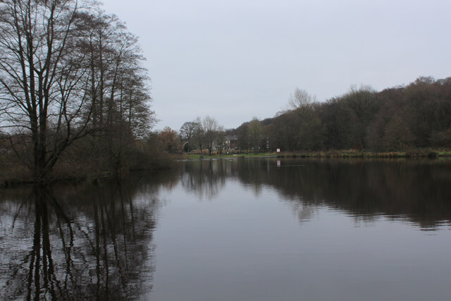
Boardman's Heights Reservoir is a freshwater reservoir located in Lancashire, England. Set amidst a picturesque landscape, it serves as both a recreational area and a vital water source for the surrounding communities. The reservoir covers an area of approximately 20 acres and is situated at an elevation of 300 feet above sea level.

The reservoir is man-made and was constructed in the late 19th century to meet the increasing demand for water in the region. It is fed by several streams and natural springs, ensuring a constant supply of freshwater throughout the year. The water is treated and distributed to nearby towns and villages for domestic and industrial use.

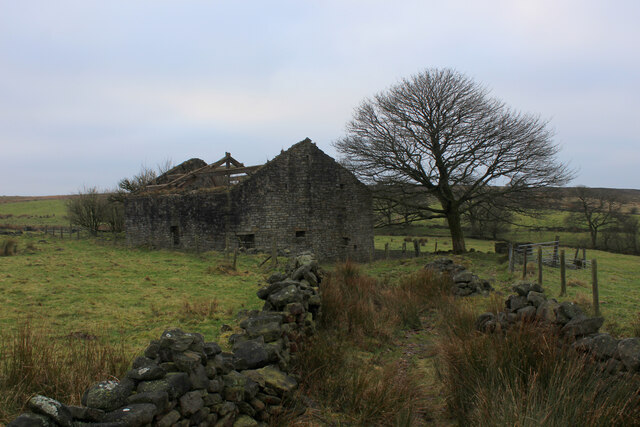
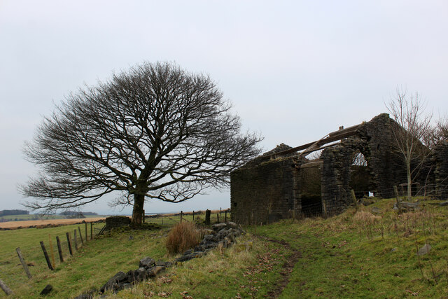
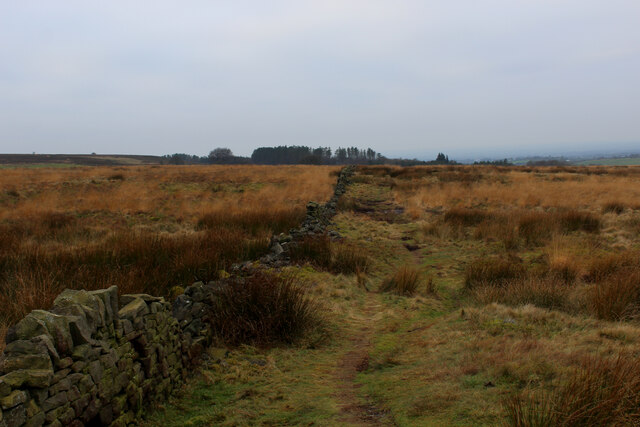
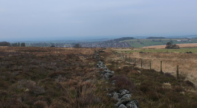
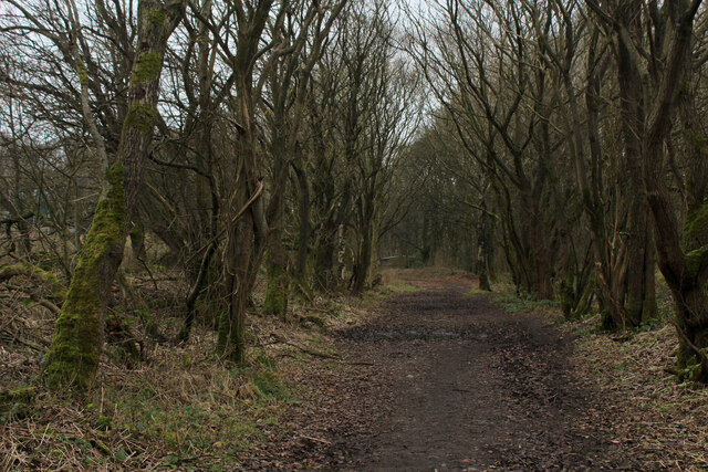
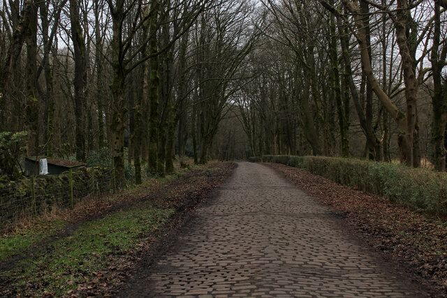
Surrounded by lush greenery and rolling hills, Boardman's Heights Reservoir provides a serene and tranquil environment for visitors. The area is popular amongst nature enthusiasts, offering opportunities for birdwatching and wildlife observation. The reservoir is home to a variety of bird species, including ducks, swans, and herons.

In addition to its ecological significance, the reservoir also provides recreational activities for visitors. It has a well-maintained footpath that encircles the water body, allowing for leisurely walks and jogging. Fishing is also permitted in the reservoir, attracting anglers seeking trout and coarse fish.

Overall, Boardman's Heights Reservoir is a valuable asset to Lancashire, providing a sustainable water supply while offering a peaceful retreat for both humans and wildlife.

If you have any feedback on the listing, please let us know in the comments section below.

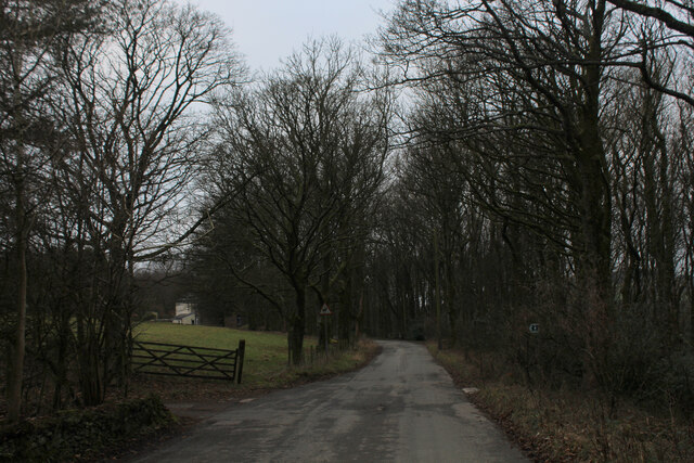
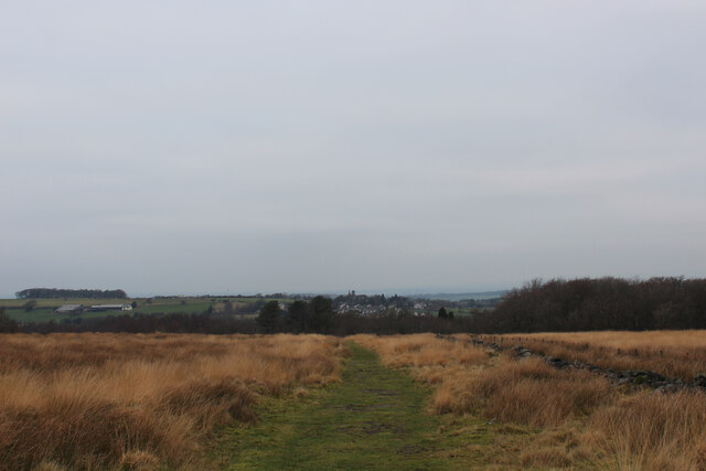
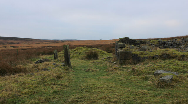
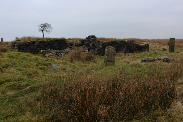
Boardman's Heights Reservoir Images

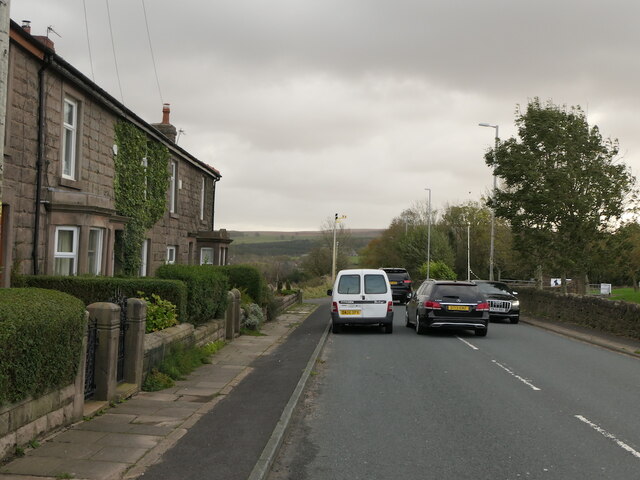
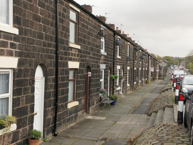
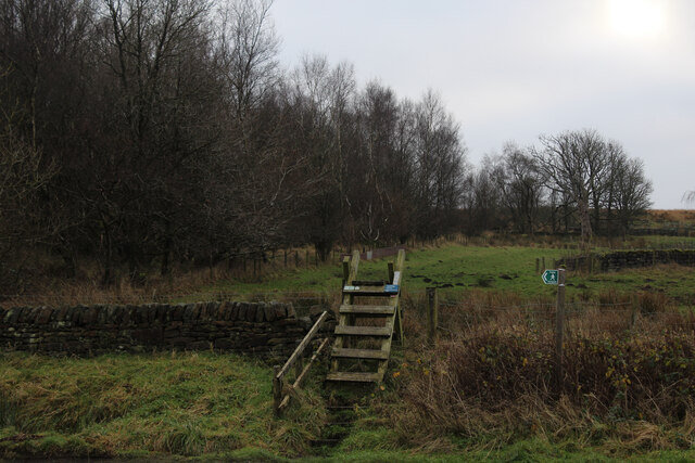
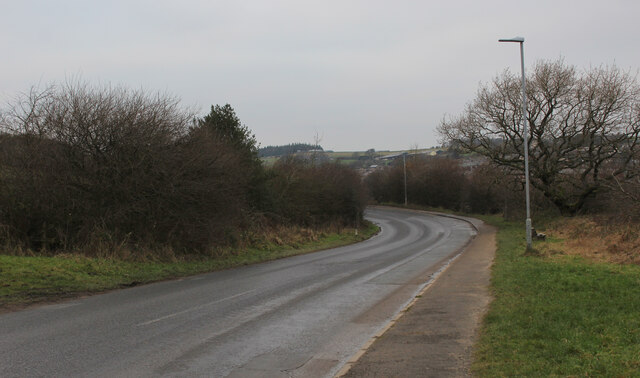
Images are sourced within 2km of 53.694389/-2.5681103 or Grid Reference SD6222. Thanks to Geograph Open Source API. All images are credited.

A675, Edge End
A675, Edge End
Gritstone terrace, Abbey Village
Ladder Stile off Dole Lane The path ascends beside the now abandoned Central Quarry near Abbey Village
Ladder Stile off Dole Lane
The path ascends beside the now abandoned Central Quarry near Abbey Village
Road between Withnell and Abbey Village
Twistmoor Lane The lane heads for Withnell Quarry, before becoming Butterworth Brow and descending into the village of Brinscall
Twistmoor Lane
The lane heads for Withnell Quarry, before becoming Butterworth Brow and descending into the village of Brinscall
Moorland Track on Millstone Edge Heading north towards Twistmoor Lane
Moorland Track on Millstone Edge
Heading north towards Twistmoor Lane
Ruin on Withnell Moor (1) The remains of a substantial building, probably a farmhouse lay isolated on Withnell Moor.
There are several such features on these West Pennine moors.
<a href="https://www.geograph.org.uk/photo/7050750">SD6420 : Ruin on Withnell Moor (2)</a>
Ruin on Withnell Moor (1)
The remains of a substantial building, probably a farmhouse lay isolated on Withnell Moor. There are several such features on these West Pennine moors. SD6420 : Ruin on Withnell Moor (2)
Ruin on Withnell Moor (2) Very little remains of what looked like a substantial farmhouse. There are several such features like this in the vicinity.
<a href="https://www.geograph.org.uk/photo/7050728">SD6420 : Ruin on Withnell Moor (1)</a>
Ruin on Withnell Moor (2)
Very little remains of what looked like a substantial farmhouse. There are several such features like this in the vicinity. SD6420 : Ruin on Withnell Moor (1)
Abandoned Farm Building above Ratten Clough from the East One of several ruined farms and buildings dotted around the surrounding area - this one is more intact than most.
<a href="https://www.geograph.org.uk/photo/7051055">SD6320 : Abandoned Farm Building above Ratten Clough from the South West</a>
Abandoned Farm Building above Ratten Clough from the East
One of several ruined farms and buildings dotted around the surrounding area - this one is more intact than most. SD6320 : Abandoned Farm Building above Ratten Clough from the South West
Abandoned Farm Building above Ratten Clough from the South West One of many ruined farms and buildings in the vicinity - this one more intact than most
<a href="https://www.geograph.org.uk/photo/7051040">SD6320 : Abandoned Farm Building above Ratten Clough from the East</a>
Abandoned Farm Building above Ratten Clough from the South West
One of many ruined farms and buildings in the vicinity - this one more intact than most SD6320 : Abandoned Farm Building above Ratten Clough from the East
Footpath on Withnell Moor Travelling west the map shows the footpath runs to the left of the wall, while in reality the route appears on the opposite side.
Footpath on Withnell Moor
Travelling west the map shows the footpath runs to the left of the wall, while in reality the route appears on the opposite side.
On the Moors above Brinscall The footpath marked on the map does not exist, the line choked with heather and moorland vegetation.
There is a narrow path that follows the fence all the way from Great Hill.
On the Moors above Brinscall
The footpath marked on the map does not exist, the line choked with heather and moorland vegetation. There is a narrow path that follows the fence all the way from Great Hill.
Disused Railway Trackbed near Brinscall Part of the disused Lancashire Union Railway that once ran between Blackburn and Chorley. It closed to passengers in early 1960, and to freight in 1966.
Disused Railway Trackbed near Brinscall
Part of the disused Lancashire Union Railway that once ran between Blackburn and Chorley. It closed to passengers in early 1960, and to freight in 1966.
Cobbled Access Lane heading towards Brinscall Well laid cobbles on this access lane, although they do not stretch all the way to Brinscall Village.
Cobbled Access Lane heading towards Brinscall
Well laid cobbles on this access lane, although they do not stretch all the way to Brinscall Village.
Brinscall Looking up School Lane in the village of Brinscall
Brinscall
Looking up School Lane in the village of Brinscall
Small Reservoir, Brinscall
View towards Withnell
Footpath between Wheelton and Brinscall heading North East Grass track slowly descending towards Brinscall Hall
Footpath between Wheelton and Brinscall heading North East
Grass track slowly descending towards Brinscall Hall
Show me another place!

Boardman's Heights Reservoir is located at Grid Ref: SD6222 (Lat: 53.694389, Lng: -2.5681103)

Administrative County: Lancashire

District: Chorley

Police Authority: Lancashire

What 3 Words

///lavished.mouths.hologram. Near Brinscall, Lancashire

Related Wikis

Brinscall railway station

Brinscall railway station was a railway station that served the village of Brinscall, Lancashire, England. == History == The station was opened by the...

Brinscall

Brinscall is a village in the Borough of Chorley, Lancashire, England. Located approximately five miles north-east of Chorley, Brinscall borders the similar...

Withnell

Withnell is a village and civil parish in the Borough of Chorley, Lancashire, England. According to the census of 2001, it had a population of 3,631, reducing...

Withnell railway station

Withnell railway station was a railway station that served Abbey Village and Withnell, in Lancashire, England. == History == The station was opened by...

Nearby Amenities

Located within 500m of 53.694389,-2.5681103
Turning Circle
Lat/Long: 53.6920333/-2.5715679
Turning Circle
Lat/Long: 53.690642/-2.5666648
Post Box
Collection Times: Mo-Fr 09:00; Sa 07:00
Ref: PR6 126
Royal Cypher: EIIR
Royal Cypher Wikidata: Q33102113
Lat/Long: 53.6910937/-2.5730918
Turning Circle
Lat/Long: 53.6909987/-2.5694354
Turning Circle
Lat/Long: 53.6910845/-2.5681667
Turning Circle
Lat/Long: 53.69148/-2.5686656
Turning Circle
Lat/Long: 53.6901481/-2.5673026
Site of Cross
Historic: archaeological_site
Source: OS 1:25k
Lat/Long: 53.6960165/-2.5614778
Turning Circle
Lat/Long: 53.6901045/-2.5659648
Direction: SE
Generator Method: photovoltaic
Generator Output Electricity: yes
Generator Solar Modules: 14
Generator Source: solar
Generator Type: solar_photovoltaic_panel
Location: roof
Power: generator
Lat/Long: 53.6908593/-2.5696407
Direction: SE
Generator Method: photovoltaic
Generator Output Electricity: yes
Generator Solar Modules: 12
Generator Source: solar
Generator Type: solar_photovoltaic_panel
Location: roof
Power: generator
Lat/Long: 53.6906481/-2.5679047
Direction: SE
Generator Method: photovoltaic
Generator Output Electricity: yes
Generator Solar Modules: 18
Generator Source: solar
Generator Type: solar_photovoltaic_panel
Location: roof
Power: generator
Lat/Long: 53.6903968/-2.5676908
Direction: SW
Generator Method: photovoltaic
Generator Output Electricity: yes
Generator Solar Modules: 16
Generator Source: solar
Generator Type: solar_photovoltaic_panel
Location: roof
Power: generator
Lat/Long: 53.6914248/-2.5681246
Direction: SW
Generator Method: photovoltaic
Generator Output Electricity: yes
Generator Solar Modules: 16
Generator Source: solar
Generator Type: solar_photovoltaic_panel
Location: roof
Power: generator
Lat/Long: 53.6915232/-2.5682259
Direction: SW
Generator Method: photovoltaic
Generator Output Electricity: yes
Generator Solar Modules: 12
Generator Source: solar
Generator Type: solar_photovoltaic_panel
Location: roof
Power: generator
Lat/Long: 53.6911627/-2.5671657
Direction: SW
Generator Method: photovoltaic
Generator Output Electricity: yes
Generator Solar Modules: 16
Generator Source: solar
Generator Type: solar_photovoltaic_panel
Location: roof
Power: generator
Lat/Long: 53.6910257/-2.5713721
Direction: SW
Generator Method: photovoltaic
Generator Output Electricity: yes
Generator Solar Modules: 16
Generator Source: solar
Generator Type: solar_photovoltaic_panel
Location: roof
Power: generator
Lat/Long: 53.691102/-2.5715277
Direction: SW
Generator Method: photovoltaic
Generator Output Electricity: yes
Generator Solar Modules: 16
Generator Source: solar
Generator Type: solar_photovoltaic_panel
Location: roof
Power: generator
Lat/Long: 53.6917412/-2.5686322
Direction: SW
Generator Method: photovoltaic
Generator Output Electricity: yes
Generator Solar Modules: 10
Generator Source: solar
Generator Type: solar_photovoltaic_panel
Location: roof
Power: generator
Lat/Long: 53.69185/-2.5716846
Pike Lowe
Place: hamlet
Lat/Long: 53.6923646/-2.5706828
Snape's Heights Farm
Place: farm
Lat/Long: 53.6977593/-2.5708249
Man Made: tower
Tower Type: communication
Lat/Long: 53.6960057/-2.5614839
The data included in this document is from www.openstreetmap.org. The data is made available under ODbL.

Have you been to Boardman's Heights Reservoir?

Leave your review of Boardman's Heights Reservoir below (or comments, questions and feedback).