Anglezarke Reservoir
Lake, Pool, Pond, Freshwater Marsh in Lancashire Chorley
England
Anglezarke Reservoir

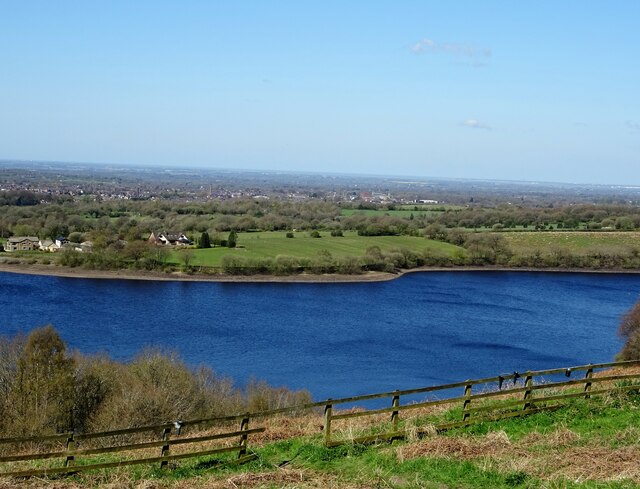
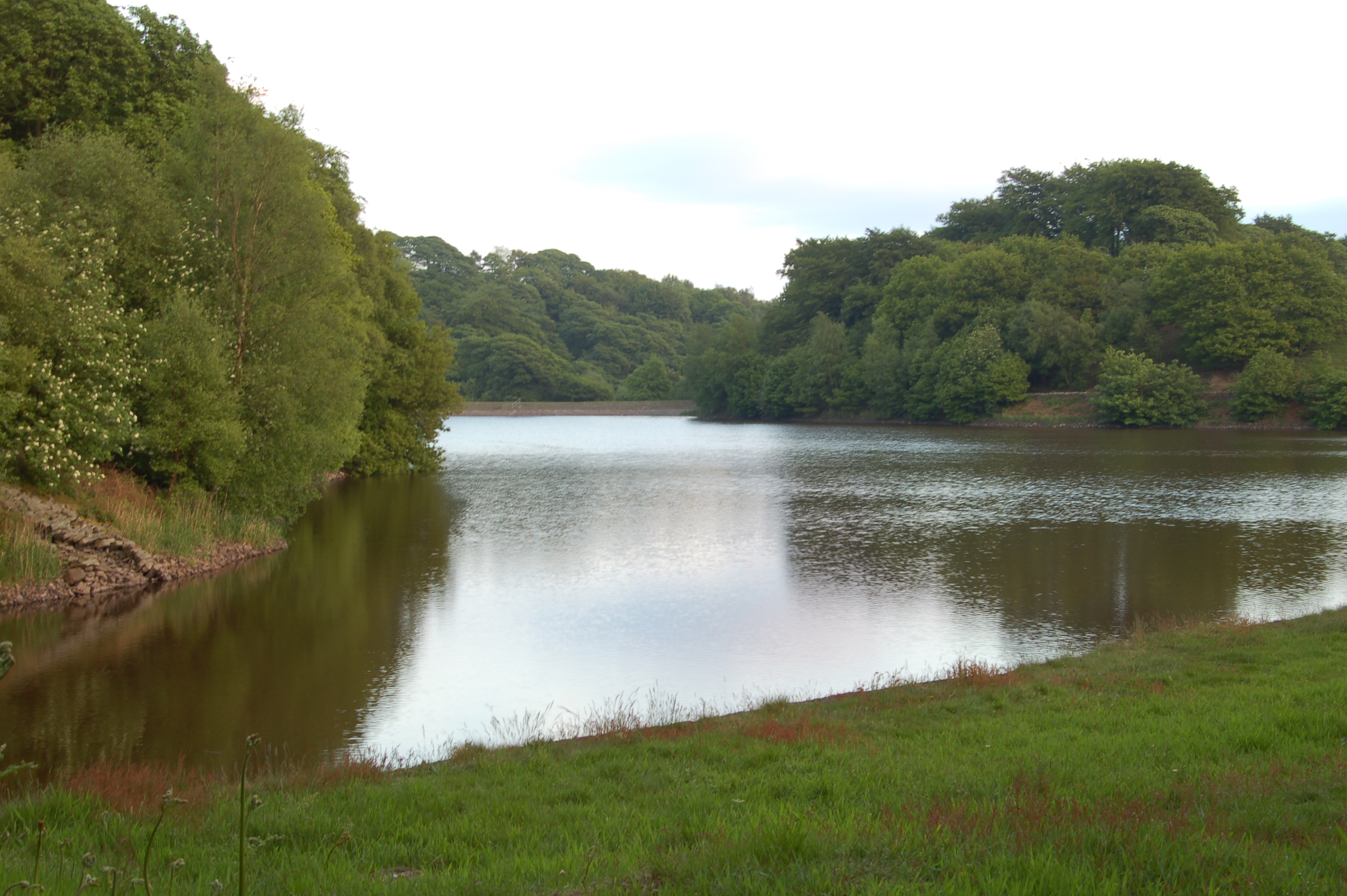
Anglezarke Reservoir is a picturesque body of water located in the county of Lancashire, England. This man-made reservoir was created in the late 19th century and serves as an important source of freshwater for the surrounding areas.
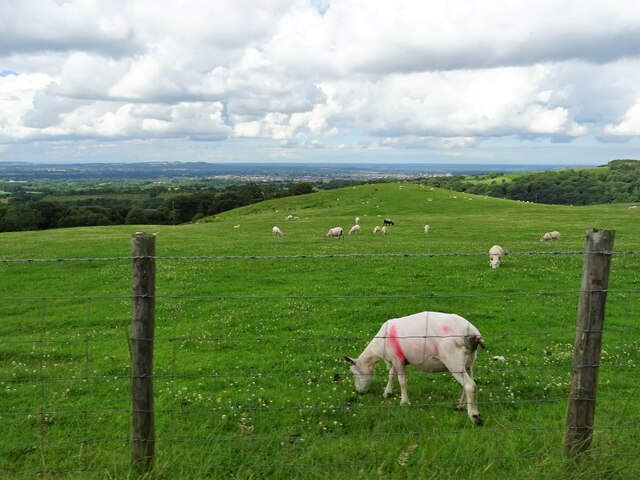
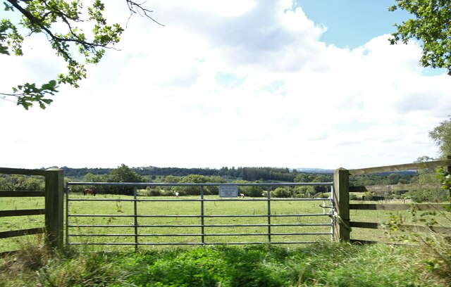
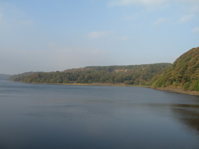
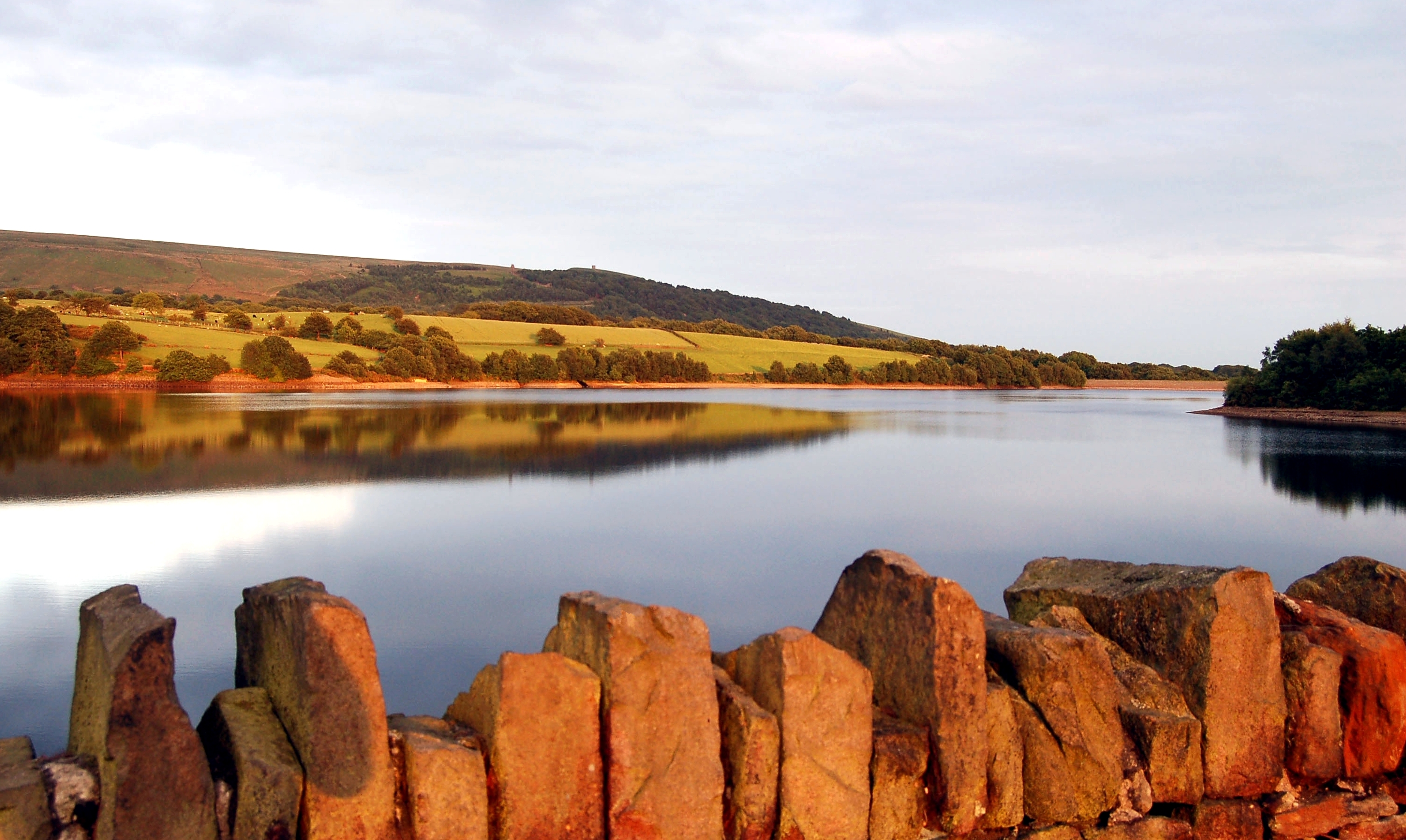
Covering an area of approximately 90 acres, Anglezarke Reservoir is a popular destination for outdoor enthusiasts and nature lovers. It is nestled within the beautiful West Pennine Moors, offering stunning views of the surrounding countryside. The reservoir is surrounded by lush green hills, providing a serene and tranquil atmosphere for visitors.
The reservoir is fed by a number of streams that flow through the area, ensuring a constant supply of freshwater. Its maximum depth reaches around 30 feet, making it an ideal habitat for a variety of aquatic species. The water is clear and pristine, making it suitable for fishing and water sports such as sailing and kayaking.
Anglezarke Reservoir also supports a rich ecosystem of wildlife, including birds, mammals, and amphibians. The surrounding marshland provides a habitat for a range of bird species, making it a popular spot for birdwatching enthusiasts.
Visitors to Anglezarke Reservoir can enjoy a range of recreational activities, including walking and cycling along the scenic trails that surround the reservoir. There are also picnic areas and benches where visitors can relax and take in the natural beauty of the area.
Overall, Anglezarke Reservoir is a stunning freshwater body nestled within the picturesque Lancashire countryside. Its natural beauty, diverse wildlife, and recreational opportunities make it a popular destination for both locals and tourists alike.
If you have any feedback on the listing, please let us know in the comments section below.
Anglezarke Reservoir Images
Images are sourced within 2km of 53.641906/-2.5813203 or Grid Reference SD6116. Thanks to Geograph Open Source API. All images are credited.


Anglezarke Reservoir is located at Grid Ref: SD6116 (Lat: 53.641906, Lng: -2.5813203)
Administrative County: Lancashire
District: Chorley
Police Authority: Lancashire
What 3 Words
///urge.newsprint.taken. Near Chorley, Lancashire
Nearby Locations
Related Wikis
Anglezarke Reservoir
Anglezarke Reservoir is the largest reservoir in the Rivington chain to the west of Anglezarke in Lancashire, England. Anglezarke Reservoir has three...
High Bullough Reservoir
High Bullough Reservoir is the oldest of all the reservoirs in the Rivington chain, having been authorised by an Act of Parliament obtained in 1846 and...
Anglezarke
Anglezarke is a sparsely populated civil parish in the Borough of Chorley in Lancashire, England. It is an agricultural area used for sheep farming and...

The Street (Heath Charnock)
The Street is a historical property on a bridleway of the same name in Heath Charnock in the Borough of Chorley, Lancashire, England. It is located on...
Yarrow Reservoir
Yarrow Reservoir - named after the River Yarrow - is a reservoir in the Rivington chain in Anglezarke, Lancashire, England, and has a storage capacity...
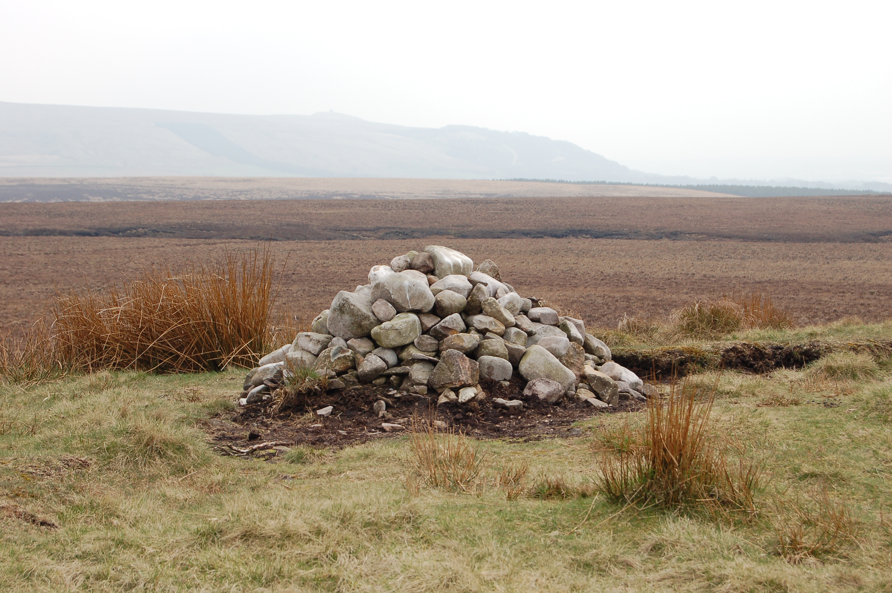
Pikestones
Pikestones is the remains of a Neolithic Burial Cairn, located on Anglezarke moor in Lancashire, England. The site is approximately 150 feet (45 metres...

Upper Rivington Reservoir
Upper Rivington Reservoir is situated centrally in the Rivington chain of reservoirs, on the West Pennine Moors in Lancashire, England, between Rivington...

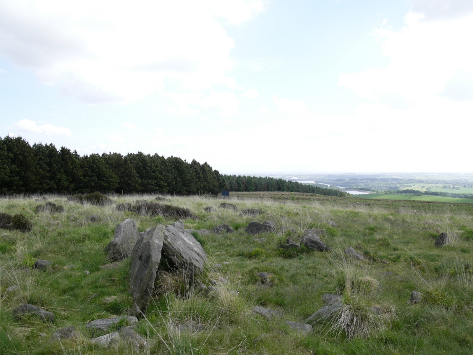
Grain Pole Hill
Grain Pole Hill is a location on Anglezarke Moor, near Chorley, within the West Pennine Moors of Lancashire, England. With a height of 285 metres (935...
Related Videos


Hiking & Wild camping around the stunning Rivington
Hiking around this beautiful place with so much to see there,. I just found out about it so had to have camp and see what was ...

What a view!!! Rivington View takes my breath away #nature#nature#walking#wildlife
A walk to rivington pike Lancashire absolutely beautiful area with many walks and many views. Filmed earlier today weather was ...

Nearby Amenities
Located within 500m of 53.641906,-2.5813203Have you been to Anglezarke Reservoir?
Leave your review of Anglezarke Reservoir below (or comments, questions and feedback).