Dilworth Upper Reservoir
Lake, Pool, Pond, Freshwater Marsh in Lancashire Ribble Valley
England
Dilworth Upper Reservoir

Dilworth Upper Reservoir, located in Lancashire, England, is a freshwater lake nestled amidst the rolling hills of the picturesque Ribble Valley. With a surface area of approximately 10 hectares, it serves as an important water reservoir for the surrounding area. The reservoir was constructed in the early 19th century to supply water to the local cotton mills during the industrial revolution.
Surrounded by lush greenery, Dilworth Upper Reservoir offers a tranquil setting for visitors to enjoy the beauty of nature. The calm waters of the lake reflect the surrounding landscape, creating a serene and picturesque scene. The reservoir is a popular spot for fishing enthusiasts, as it is home to a variety of fish species, including perch, pike, roach, and tench, providing ample opportunities for anglers to test their skills.
The surrounding area of the reservoir is also rich in biodiversity, with several species of birds, mammals, and aquatic plants calling it home. Birdwatchers can often spot a range of waterfowl, such as mallards, swans, and coots, as well as occasional visits from migratory species.
Dilworth Upper Reservoir is also known for its freshwater marsh, which serves as a vital habitat for various wetland plants and wildlife. The marsh provides a breeding ground for amphibians and insects, and its vegetation contributes to the overall ecological balance of the area.
Visitors to Dilworth Upper Reservoir can enjoy a peaceful stroll along the designated footpaths that encircle the lake, offering stunning views and opportunities for wildlife observation. The reservoir's natural beauty and its significance as a water source make it a cherished gem within the Lancashire countryside.
If you have any feedback on the listing, please let us know in the comments section below.
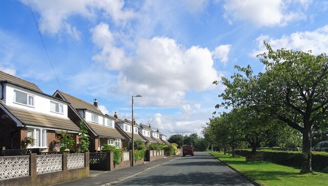
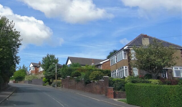
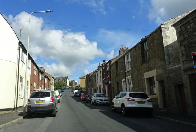
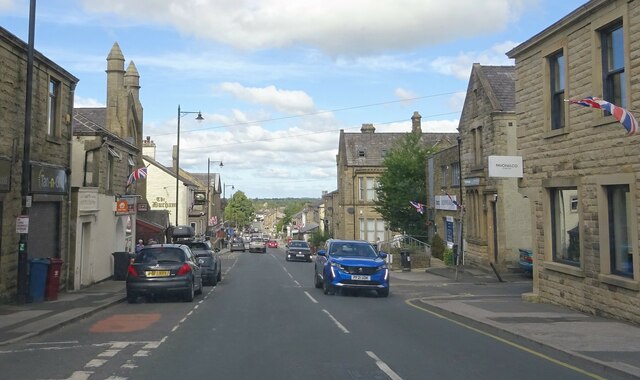
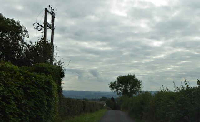
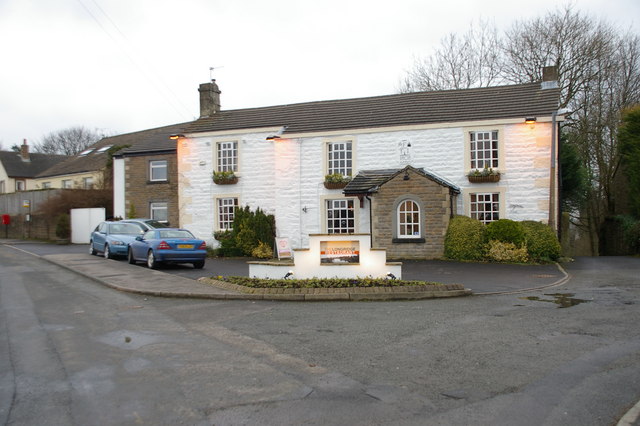
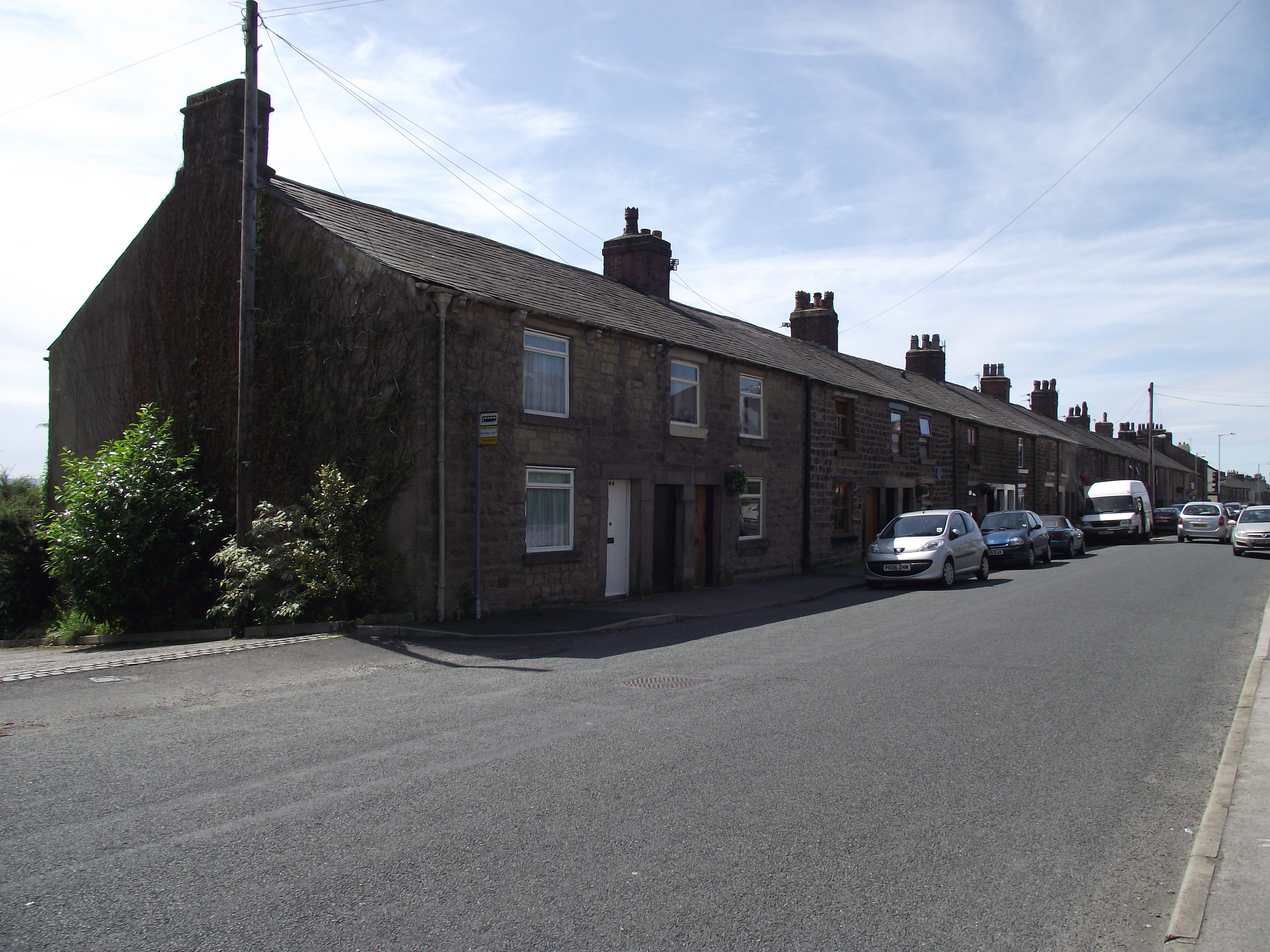
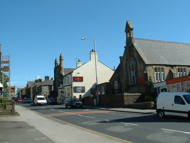
Dilworth Upper Reservoir Images
Images are sourced within 2km of 53.839633/-2.5841479 or Grid Reference SD6138. Thanks to Geograph Open Source API. All images are credited.


Dilworth Upper Reservoir is located at Grid Ref: SD6138 (Lat: 53.839633, Lng: -2.5841479)
Administrative County: Lancashire
District: Ribble Valley
Police Authority: Lancashire
What 3 Words
///hamster.regular.unafraid. Near Longridge, Lancashire
Nearby Locations
Related Wikis

Longridge circuit
Longridge Circuit was a motor racing circuit built in the former Tootle Heights quarry close to Longridge, Lancashire, England. This circuit may be unique...
Longridge Golf Club
Longridge Golf Club, in Longridge, England, was founded around 1915, making it one of the oldest golf clubs in the county of Lancashire. Situated on Longridge...
Club Row, Longridge
Club Row is a row of sandstone terraced houses on Higher Road in the English market town of Longridge, Lancashire, built between 1793 and 1804. Grade II...
Longridge
Longridge is a market town and civil parish in the borough of Ribble Valley in Lancashire, England. It is situated 8 miles (13 km) north-east of the city...
Nearby Amenities
Located within 500m of 53.839633,-2.5841479Have you been to Dilworth Upper Reservoir?
Leave your review of Dilworth Upper Reservoir below (or comments, questions and feedback).