Blamire's Pool
Lake, Pool, Pond, Freshwater Marsh in Westmorland Eden
England
Blamire's Pool

Blamire's Pool, located in Westmorland, is a picturesque freshwater marsh that serves as a tranquil haven for both wildlife and visitors alike. Situated amidst the stunning Lake District National Park in northwest England, this pool offers a serene escape from the hustle and bustle of everyday life.
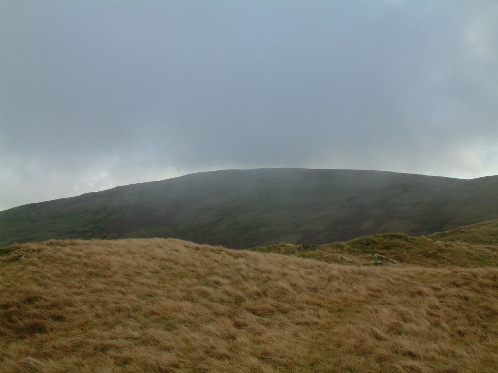
Blamire's Pool is a natural water body, formed as a result of glacial activity during the last Ice Age. It is primarily fed by rainfall and runoff from the surrounding hills, resulting in crystal-clear waters that support a diverse ecosystem. The pool spans a modest area, with an average depth of around 5 meters, making it a relatively small but charming body of water.
The pool is encompassed by lush green vegetation, including reeds, grasses, and water lilies, creating a picturesque scene that is a delight to the senses. This rich biodiversity attracts a variety of bird species, making it a popular spot for birdwatchers. Visitors can often spot elegant swans, graceful herons, and a multitude of waterfowl gliding across the surface of the pool.
Blamire's Pool also offers a peaceful setting for recreational activities such as fishing and boating. Anglers can try their luck at catching brown trout, perch, or pike, while boaters can leisurely explore the pool's calm waters.
With its serene ambiance, diverse wildlife, and stunning natural beauty, Blamire's Pool is a hidden gem within the Lake District. It offers a welcome respite for nature enthusiasts, photographers, and those seeking a peaceful retreat amidst the beauty of the British countryside.
If you have any feedback on the listing, please let us know in the comments section below.
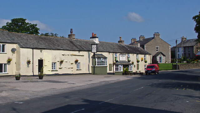
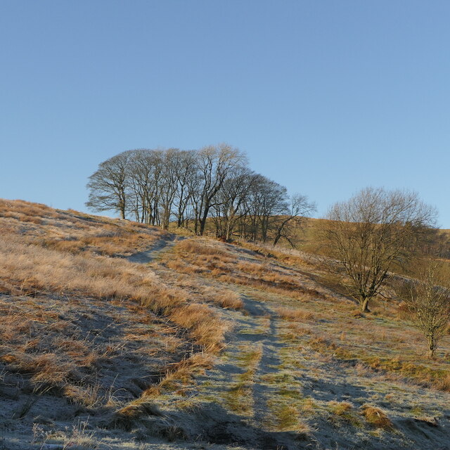
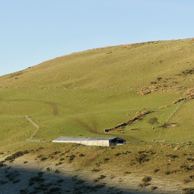
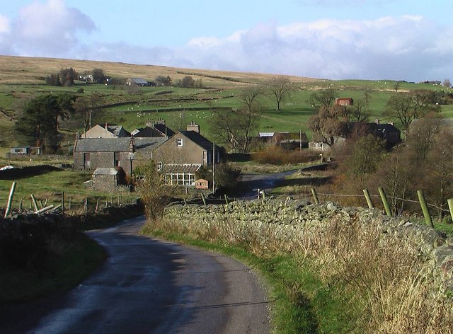
Blamire's Pool Images
Images are sourced within 2km of 54.42019/-2.5982324 or Grid Reference NY6102. Thanks to Geograph Open Source API. All images are credited.


Blamire's Pool is located at Grid Ref: NY6102 (Lat: 54.42019, Lng: -2.5982324)
Administrative County: Cumbria
District: Eden
Police Authority: Cumbria
What 3 Words
///duke.lifestyle.equality. Near Sedbergh, Cumbria
Nearby Locations
Related Wikis

Tebay rail accident
The Tebay rail accident occurred when four railway workers working on the West Coast Main Line were killed by a runaway wagon near Tebay, Cumbria, England...

Roundthwaite
Roundthwaite is a small village in Cumbria, England. It is located about a mile south west of Tebay, is part of the Tebay parish, and the majority of its...

Tebay railway station
Tebay railway station was situated on the Lancaster and Carlisle Railway (L&CR) (part of the West Coast Main Line) between Lancaster and Penrith. It served...

Birk Beck
Birk Beck is a minor river in Cumbria.Rising on the fells near Shap, Birk Beck runs south-by-south east, picking up Wasdale Beck (running east and draining...

Tebay
Tebay is a village and civil parish in Cumbria, England, within the historic borders of Westmorland. It lies in the upper Lune Valley, at the head of the...
Greenholme
Greenholme is a hamlet in Cumbria, England.The Greenholme Gala and Agricultural Show is held there annually.Greenholme Bridge crosses the Birk Beck in...

Tebay Services
Tebay Services are motorway service stations on the M6 motorway in the Westmorland and Furness district of Cumbria, England. The northbound opened in 1972...
Grayrigg Forest
Grayrigg Forest is a hill in Cumbria, England, located on the eastern edge of what might be considered the Lake District, and in August 2016 becoming part...
Nearby Amenities
Located within 500m of 54.42019,-2.5982324Have you been to Blamire's Pool?
Leave your review of Blamire's Pool below (or comments, questions and feedback).