Brig Hole

Lake, Pool, Pond, Freshwater Marsh in Westmorland Eden

England

Brig Hole

Dyke on Birk Knott Roundthwaite Common.
Dyke on Birk Knott Credit: Richard Webb

Brig Hole is a picturesque freshwater marsh located in Westmorland, a county in the northwestern region of England. Situated near the charming village of Brigsteer, this natural wonder boasts a serene lake, pool, pond, and freshwater marsh, making it a haven for nature enthusiasts and avid birdwatchers.

The centerpiece of Brig Hole is its expansive lake, which spans across several acres and is surrounded by lush vegetation and reeds. The crystal-clear waters of the lake provide a tranquil setting for visitors to enjoy a leisurely stroll along its banks or to simply sit and appreciate the soothing ambiance.

Adjacent to the lake, there is a smaller pool that serves as a breeding ground for various waterfowl species. This pool is a haven for ducks, geese, and swans during the breeding season and offers a remarkable opportunity for birdwatchers to observe these beautiful creatures in their natural habitat.

The pond in Brig Hole is home to a diverse range of aquatic plants, fish, and invertebrates. Its calm waters and abundant vegetation create an ideal environment for these species to thrive, contributing to the overall biodiversity of the area.

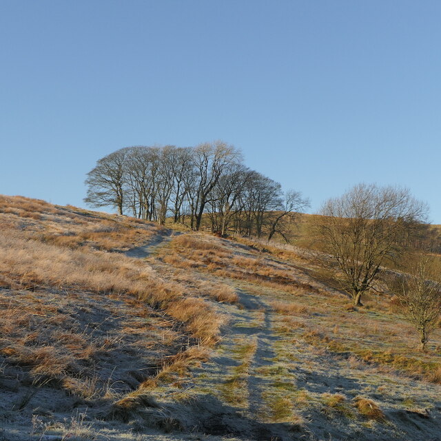
The freshwater marsh surrounding the lake, pool, and pond completes the ecosystem found in Brig Hole. This marshland is characterized by its saturated soil and waterlogged conditions, providing a unique habitat for a variety of wetland plants and wildlife.

Overall, Brig Hole in Westmorland offers a captivating blend of natural beauty, tranquility, and ecological diversity. Whether one is an avid birdwatcher, a nature lover, or simply seeking a peaceful respite in the midst of nature, Brig Hole is a destination that is sure to leave a lasting impression.

If you have any feedback on the listing, please let us know in the comments section below.

Brig Hole Images

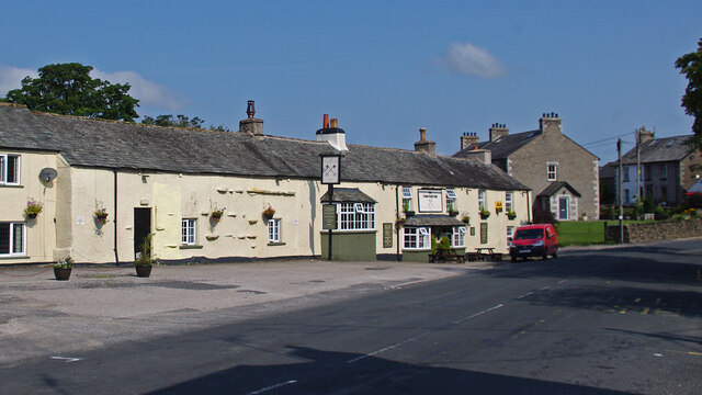
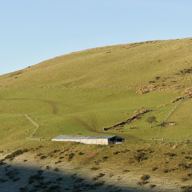
Images are sourced within 2km of 54.419147/-2.5982481 or Grid Reference NY6102. Thanks to Geograph Open Source API. All images are credited.

Dyke on Birk Knott Roundthwaite Common.
Dyke on Birk Knott
Roundthwaite Common.
ATV tracks, Roundthwaite Common The ridge north of Borrowdale.
ATV tracks, Roundthwaite Common
The ridge north of Borrowdale.
Casterfell Hill
Casterfell Hill
Newly planted woodland, Roundthwaite Very recent tree planting on enclosed farmland.
Newly planted woodland, Roundthwaite
Very recent tree planting on enclosed farmland.
Frost, Roundthwaite A track to or from Borrowdale.
Frost, Roundthwaite
A track to or from Borrowdale.
Dyke, Birk Knott The land to the right had just been planted with trees.
Dyke, Birk Knott
The land to the right had just been planted with trees.
Cross Keys Inn, Tebay
Matrix board  - M6 northbound
Matrix board - M6 northbound
Matrix board  - M6 northbound
Matrix board - M6 northbound
Signage  - M6 northbound
Signage - M6 northbound
Junction 38 signage  - M6 northbound
Junction 38 signage - M6 northbound
Roundthwaite View from the track running over the fells to Borrowdale.
Roundthwaite
View from the track running over the fells to Borrowdale.
Track to Borrowdale Above Roundthwaite, the track has seen a lot of recent use due to tree planting.
Track to Borrowdale
Above Roundthwaite, the track has seen a lot of recent use due to tree planting.
Track to Borrowdale Above Roundthwaite
Track to Borrowdale
Above Roundthwaite
Track to Borrowdale Above Borrowdale - looks peaceful, but the M6 is nearby.
Track to Borrowdale
Above Borrowdale - looks peaceful, but the M6 is nearby.
Rogerhowe Quarry In Lunedale, south of Tebay.
Rogerhowe Quarry
In Lunedale, south of Tebay.
Frost in Lunedale A temperature inversion, cold on the valley floor, fog having just lifted while warm and sunny higher up.
Frost in Lunedale
A temperature inversion, cold on the valley floor, fog having just lifted while warm and sunny higher up.
Cowhouse, Roundthwaite
Show me another place!

Brig Hole is located at Grid Ref: NY6102 (Lat: 54.419147, Lng: -2.5982481)

Administrative County: Cumbria

District: Eden

Police Authority: Cumbria

What 3 Words

///unions.corrode.copying. Near Sedbergh, Cumbria

Related Wikis

Tebay rail accident

The Tebay rail accident occurred when four railway workers working on the West Coast Main Line were killed by a runaway wagon near Tebay, Cumbria, England...

Roundthwaite

Roundthwaite is a small village in Cumbria, England. It is located about a mile south west of Tebay, is part of the Tebay parish, and the majority of its...

Tebay railway station

Tebay railway station was situated on the Lancaster and Carlisle Railway (L&CR) (part of the West Coast Main Line) between Lancaster and Penrith. It served...

Birk Beck

Birk Beck is a minor river in Cumbria.Rising on the fells near Shap, Birk Beck runs south-by-south east, picking up Wasdale Beck (running east and draining...

Nearby Amenities

Located within 500m of 54.419147,-2.5982481
Historic: memorial
Inscription: In memory of Colin Buckley 49, Darren Burgess 30, Gary Tindall 46, Chris Waters 53, who were tragically killed nearby on 15th February 2004 while maintaining the railway.
Note: memorial to four railway workers killed in February 2004
Lat/Long: 54.4197059/-2.5987901
Man Made: mast
Lat/Long: 54.4228883/-2.5979089
Give Way
Direction: forward
Lat/Long: 54.4176377/-2.6008404
Bench
Lat/Long: 54.4207905/-2.6020655
Information: map
Map Size: region
Map Type: hiking
Tourism: information
Lat/Long: 54.4202495/-2.6015934
Tourism: viewpoint
Lat/Long: 54.4208124/-2.6019724
Railway: switch
Lat/Long: 54.4206334/-2.5988417
Railway: switch
Lat/Long: 54.4210636/-2.5988455
Railway: switch
Lat/Long: 54.4212193/-2.5988364
Power: pole
Lat/Long: 54.4149555/-2.5972059
Power: pole
Lat/Long: 54.4157071/-2.5968301
Power: pole
Lat/Long: 54.4165001/-2.5964476
Power: pole
Lat/Long: 54.4172941/-2.5960766
Power: pole
Lat/Long: 54.4179435/-2.595757
Power: pole
Lat/Long: 54.418667/-2.5959955
Power: pole
Lat/Long: 54.4193694/-2.5962149
Power: pole
Lat/Long: 54.4199157/-2.5963871
Power: pole
Lat/Long: 54.4209235/-2.596715
Power: pole
Lat/Long: 54.4207423/-2.6004034
Power: pole
Lat/Long: 54.4214399/-2.6004382
Material: wood
Power: pole
Lat/Long: 54.4224784/-2.6009449
The data included in this document is from www.openstreetmap.org. The data is made available under ODbL.

Have you been to Brig Hole?

Leave your review of Brig Hole below (or comments, questions and feedback).