Auchreddachie Pot

Lake, Pool, Pond, Freshwater Marsh in Aberdeenshire

Scotland

Auchreddachie Pot

Mill of Keig The Mill of Keig sitting by a road junction.
Mill of Keig Credit: Andrew Wood

Auchreddachie Pot is a small freshwater marsh located in Aberdeenshire, Scotland. Nestled amidst rolling hills and lush greenery, it is a picturesque spot that attracts nature enthusiasts and bird watchers alike. The pot is a small body of water, resembling a lake or a pond, and is known for its unique ecosystem and diverse wildlife.

The pot is surrounded by reeds and grasses, creating a vibrant and colorful landscape. This marshy habitat provides a haven for various bird species such as ducks, geese, and swans, making it a popular destination for birdwatchers. The tranquil setting also attracts other wildlife, including otters, water voles, and dragonflies.

The water in Auchreddachie Pot is clear and pristine, owing to its freshwater source. It is believed to be fed by underground springs, which contribute to its high water quality. The pot is relatively shallow, with an average depth of around 2 meters, and features a sandy bottom.

Visitors to Auchreddachie Pot can enjoy a peaceful walk along the surrounding paths, observing the abundant flora and fauna. The marsh is home to a variety of plant species, such as bulrushes, water lilies, and sedges. These plants not only provide shelter for the wildlife but also contribute to the overall beauty of the area.

Overall, Auchreddachie Pot is a tranquil and idyllic spot in Aberdeenshire, where visitors can immerse themselves in the beauty of nature and enjoy the diverse ecosystem that thrives within its boundaries.

If you have any feedback on the listing, please let us know in the comments section below.

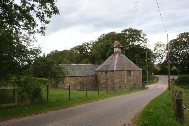
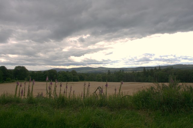
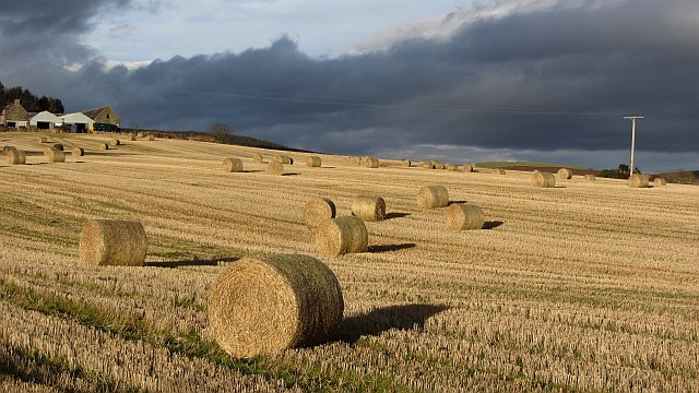
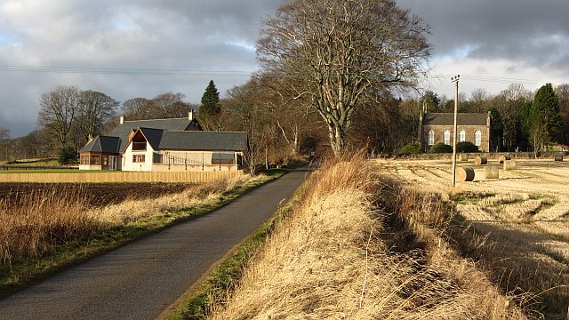
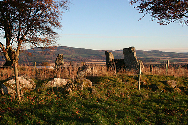
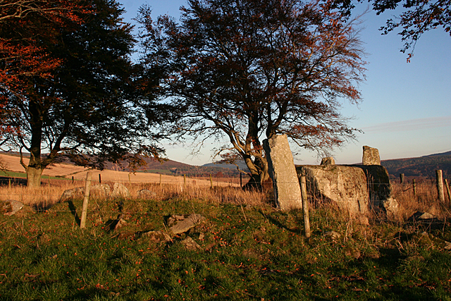
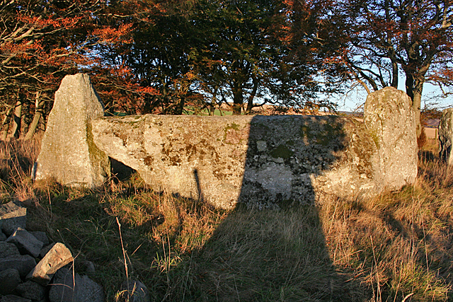
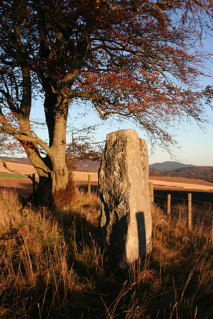
Auchreddachie Pot Images

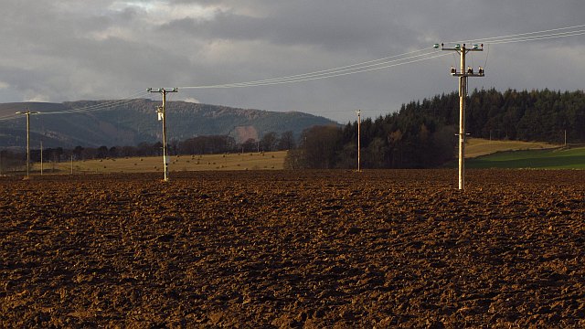
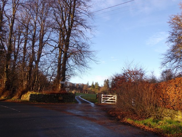
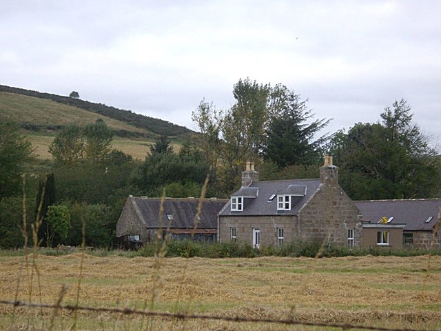
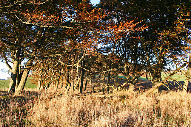
Images are sourced within 2km of 57.253187/-2.6449219 or Grid Reference NJ6118. Thanks to Geograph Open Source API. All images are credited.

Mill of Keig The Mill of Keig sitting by a road junction.
Mill of Keig
The Mill of Keig sitting by a road junction.
Field and Wood Farmland and woodland near Keig.
Field and Wood
Farmland and woodland near Keig.
Stubble, Keig
Stubble, Keig
Minor road, Keig
Minor road, Keig
Power line, Keig
Power line, Keig
Private access to Castle Forbes From the B982 near Keig.
Private access to Castle Forbes
From the B982 near Keig.
Shunnies Seen from B992.
Shunnies
Seen from B992.
Shelter Belt This belt of mature beeches runs down the slope between Old Keig and New Keig.
Shelter Belt
This belt of mature beeches runs down the slope between Old Keig and New Keig.
Old Keig Recumbent Stone Circle (1) This circle is in the shelter belt between Old Keig and New Keig. This shows the recumbent setting and the sole remaining standing stone to its left. See <span class="nowrap"><a title="http://canmore.org.uk/site/17530/old-keig" rel="nofollow ugc noopener" href="http://canmore.org.uk/site/17530/old-keig">Link</a><img style="margin-left:2px;" alt="External link" title="External link - shift click to open in new window" src="https://s1.geograph.org.uk/img/external.png" width="10" height="10"/></span> for fuller details. <a href="https://www.geograph.org.uk/photo/4729758">NJ5919 : Old Keig Recumbent Stone Circle (2)</a>
Old Keig Recumbent Stone Circle (1)
This circle is in the shelter belt between Old Keig and New Keig. This shows the recumbent setting and the sole remaining standing stone to its left. See LinkExternal link for fuller details. NJ5919 : Old Keig Recumbent Stone Circle (2)
Old Keig Recumbent Stone Circle (2) From the south-west, the remaining orthostat can just be seen above the middle of the recumbent. The smaller stones to the left are kerb stones associated with the central cairn. See <span class="nowrap"><a title="http://canmore.org.uk/site/17530/old-keig" rel="nofollow ugc noopener" href="http://canmore.org.uk/site/17530/old-keig">Link</a><img style="margin-left:2px;" alt="External link" title="External link - shift click to open in new window" src="https://s1.geograph.org.uk/img/external.png" width="10" height="10"/></span> for fuller details. <a href="https://www.geograph.org.uk/photo/4729761">NJ5919 : Old Keig Recumbent Stone Circle (3)</a>
Old Keig Recumbent Stone Circle (2)
From the south-west, the remaining orthostat can just be seen above the middle of the recumbent. The smaller stones to the left are kerb stones associated with the central cairn. See LinkExternal link for fuller details. NJ5919 : Old Keig Recumbent Stone Circle (3)
Old Keig Recumbent Stone Circle (3) Photographing the rather impressive recumbent setting was made difficult by the shadow of a beech tree falling right across the recumbent. See <span class="nowrap"><a title="http://canmore.org.uk/site/17530/old-keig" rel="nofollow ugc noopener" href="http://canmore.org.uk/site/17530/old-keig">Link</a><img style="margin-left:2px;" alt="External link" title="External link - shift click to open in new window" src="https://s1.geograph.org.uk/img/external.png" width="10" height="10"/></span> for fuller details. <a href="https://www.geograph.org.uk/photo/4729764">NJ5919 : Old Keig Recumbent Stone Circle (4)</a>
Old Keig Recumbent Stone Circle (3)
Photographing the rather impressive recumbent setting was made difficult by the shadow of a beech tree falling right across the recumbent. See LinkExternal link for fuller details. NJ5919 : Old Keig Recumbent Stone Circle (4)
Old Keig Recumbent Stone Circle (4) This is the sole orthostat still standing. It is on the south-east arc of the circle. The dark shadow is that of a nearby fence post. See <span class="nowrap"><a title="http://canmore.org.uk/site/17530/old-keig" rel="nofollow ugc noopener" href="http://canmore.org.uk/site/17530/old-keig">Link</a><img style="margin-left:2px;" alt="External link" title="External link - shift click to open in new window" src="https://s1.geograph.org.uk/img/external.png" width="10" height="10"/></span> for fuller details. <a href="https://www.geograph.org.uk/photo/4729768">NJ5919 : Old Keig Recumbent Stone Circle (5)</a>
Old Keig Recumbent Stone Circle (4)
This is the sole orthostat still standing. It is on the south-east arc of the circle. The dark shadow is that of a nearby fence post. See LinkExternal link for fuller details. NJ5919 : Old Keig Recumbent Stone Circle (5)
Old Keig Recumbent Stone Circle (5) Although they are still standing inside the circle, these two lower stones are not part of the circumference of the circle, but must be related to the cairn inside the circle. See <span class="nowrap"><a title="http://canmore.org.uk/site/17530/old-keig" rel="nofollow ugc noopener" href="http://canmore.org.uk/site/17530/old-keig">Link</a><img style="margin-left:2px;" alt="External link" title="External link - shift click to open in new window" src="https://s1.geograph.org.uk/img/external.png" width="10" height="10"/></span> for fuller details. <a href="https://www.geograph.org.uk/photo/4729775">NJ5919 : Old Keig Recumbent Stone Circle (7)</a>
Old Keig Recumbent Stone Circle (5)
Although they are still standing inside the circle, these two lower stones are not part of the circumference of the circle, but must be related to the cairn inside the circle. See LinkExternal link for fuller details. NJ5919 : Old Keig Recumbent Stone Circle (7)
Old Keig Recumbent Stone Circle (6) The dramatic silhouette of the recumbent setting, rather marred by the silhouette of the mature beech growing beside it. Without the tree to blot out the sun, of course, it would not have been possible to take the photograph at all. See <span class="nowrap"><a title="http://canmore.org.uk/site/17530/old-keig" rel="nofollow ugc noopener" href="http://canmore.org.uk/site/17530/old-keig">Link</a><img style="margin-left:2px;" alt="External link" title="External link - shift click to open in new window" src="https://s1.geograph.org.uk/img/external.png" width="10" height="10"/></span> for fuller details. <a href="https://www.geograph.org.uk/photo/4729775">NJ5919 : Old Keig Recumbent Stone Circle (7)</a>
Old Keig Recumbent Stone Circle (6)
The dramatic silhouette of the recumbent setting, rather marred by the silhouette of the mature beech growing beside it. Without the tree to blot out the sun, of course, it would not have been possible to take the photograph at all. See LinkExternal link for fuller details. NJ5919 : Old Keig Recumbent Stone Circle (7)
Old Keig Recumbent Stone Circle (7) From inside the circle, the sole remaining orthostat is at far left. Then two shorter stones that are not part of the actual circle. Next is the recumbent setting, and finally smone smaller stones in the long grass that form part of the kerb round the internal cairn. See <span class="nowrap"><a title="http://canmore.org.uk/site/17530/old-keig" rel="nofollow ugc noopener" href="http://canmore.org.uk/site/17530/old-keig">Link</a><img style="margin-left:2px;" alt="External link" title="External link - shift click to open in new window" src="https://s1.geograph.org.uk/img/external.png" width="10" height="10"/></span> for fuller details. <a href="https://www.geograph.org.uk/photo/4729777">NJ5919 : Old Keig Recumbent Stone Circle (7)</a>
Old Keig Recumbent Stone Circle (7)
From inside the circle, the sole remaining orthostat is at far left. Then two shorter stones that are not part of the actual circle. Next is the recumbent setting, and finally smone smaller stones in the long grass that form part of the kerb round the internal cairn. See LinkExternal link for fuller details. NJ5919 : Old Keig Recumbent Stone Circle (7)
Old Keig Recumbent Stone Circle (7) The recumbent setting in late afternoon sunshine, with the remaining orthostat just visible to the right of the west flanker. See <span class="nowrap"><a title="http://canmore.org.uk/site/17530/old-keig" rel="nofollow ugc noopener" href="http://canmore.org.uk/site/17530/old-keig">Link</a><img style="margin-left:2px;" alt="External link" title="External link - shift click to open in new window" src="https://s1.geograph.org.uk/img/external.png" width="10" height="10"/></span> for fuller details. <a href="https://www.geograph.org.uk/photo/4729778">NJ5919 : Old Keig Recumbent Stone Circle (7)</a>
Old Keig Recumbent Stone Circle (7)
The recumbent setting in late afternoon sunshine, with the remaining orthostat just visible to the right of the west flanker. See LinkExternal link for fuller details. NJ5919 : Old Keig Recumbent Stone Circle (7)
Old Keig Recumbent Stone Circle (7) The three stones close to the camera, and those to the left of the tree, are some of the kerb stones of the internal cairn within the stone circle. See <span class="nowrap"><a title="http://canmore.org.uk/site/17530/old-keig" rel="nofollow ugc noopener" href="http://canmore.org.uk/site/17530/old-keig">Link</a><img style="margin-left:2px;" alt="External link" title="External link - shift click to open in new window" src="https://s1.geograph.org.uk/img/external.png" width="10" height="10"/></span> for fuller details. <a href="https://www.geograph.org.uk/photo/4729782">NJ5919 : Old Keig Recumbent Stone Circle (8)</a>
Old Keig Recumbent Stone Circle (7)
The three stones close to the camera, and those to the left of the tree, are some of the kerb stones of the internal cairn within the stone circle. See LinkExternal link for fuller details. NJ5919 : Old Keig Recumbent Stone Circle (8)
Old Keig Recumbent Stone Circle (8) The ramining stones of the circle from outside thesurrounding fence. The recumbent and flankers are on the left, and the sole other stone under the tree on the right. See <span class="nowrap"><a title="http://canmore.org.uk/site/17530/old-keig" rel="nofollow ugc noopener" href="http://canmore.org.uk/site/17530/old-keig">Link</a><img style="margin-left:2px;" alt="External link" title="External link - shift click to open in new window" src="https://s1.geograph.org.uk/img/external.png" width="10" height="10"/></span> for fuller details. <a href="https://www.geograph.org.uk/photo/4729786">NJ5919 : Old Keig Recumbent Stone Circle (9)</a>
Old Keig Recumbent Stone Circle (8)
The ramining stones of the circle from outside thesurrounding fence. The recumbent and flankers are on the left, and the sole other stone under the tree on the right. See LinkExternal link for fuller details. NJ5919 : Old Keig Recumbent Stone Circle (9)
Show me another place!

Auchreddachie Pot is located at Grid Ref: NJ6118 (Lat: 57.253187, Lng: -2.6449219)

Unitary Authority: Aberdeenshire

Police Authority: North East

What 3 Words

///renovated.carpeted.sublime. Near Alford, Aberdeenshire

Nearby Locations

Auchreddachie Pot Boat Pot

Related Wikis

Keig

Keig ( KEEG) is a village within the local government area of Aberdeenshire Council in the North East of Scotland and is located within the Marr area of...

Castle Forbes

Castle Forbes is a 19th-century country house in the Scottish baronial architecture style near Alford in Aberdeenshire, Scotland. The 6,000-acre (2,400...

Whitehouse railway station (Scotland)

Whitehouse railway station was a station in Whitehouse, Aberdeenshire. It opened with the along with the rest of the Alford Valley Railway line from Kintore...

Gordon Way

The Gordon Way is a waymarked hiking trail in Aberdeenshire, Scotland. It runs for 11+1⁄2 miles (18.5 km) through the Bennachie Forest. The route was one...

Nearby Amenities

Located within 500m of 57.253187,-2.6449219
Power: pole
Lat/Long: 57.2500366/-2.6413113
Power: pole
Lat/Long: 57.2502654/-2.6402625
Power: pole
Lat/Long: 57.250507/-2.6391325
Power: pole
Lat/Long: 57.2507554/-2.6379812
Power: pole
Lat/Long: 57.2545846/-2.6373766
Power: pole
Lat/Long: 57.2551311/-2.6380709
Power: pole
Lat/Long: 57.2557227/-2.6388377
Power: pole
Lat/Long: 57.256298/-2.6395789
Power: pole
Lat/Long: 57.2554396/-2.6396622
Power: pole
Lat/Long: 57.2551149/-2.640585
Power: pole
Lat/Long: 57.2547984/-2.6414971
Power: pole
Lat/Long: 57.2544945/-2.6423857
The data included in this document is from www.openstreetmap.org. The data is made available under ODbL.

Have you been to Auchreddachie Pot?

Leave your review of Auchreddachie Pot below (or comments, questions and feedback).