Cauld Pool
Lake, Pool, Pond, Freshwater Marsh in Roxburghshire
Scotland
Cauld Pool
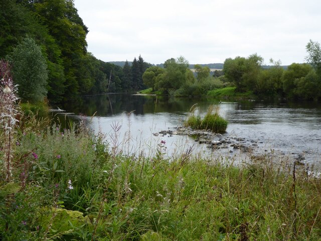
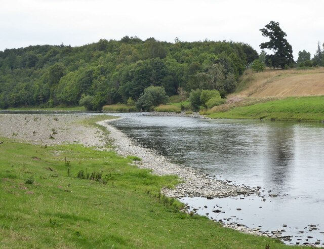
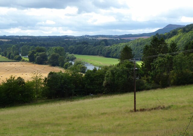
Cauld Pool is a picturesque freshwater marsh located in the county of Roxburghshire, Scotland. This natural wonder is renowned for its tranquility and abundant wildlife, making it a popular destination for nature enthusiasts and birdwatchers.
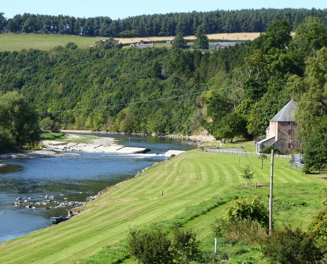
Covering an area of approximately 10 acres, Cauld Pool is nestled within a small valley, surrounded by lush greenery and rolling hills. The pool itself is a shallow body of water, with an average depth of around 3 feet. It is fed by a small stream that flows through the valley, ensuring a constant supply of fresh water.
The pool is home to a diverse range of plant and animal species. Its marshy surroundings are adorned with various aquatic plants, including water lilies, reeds, and rushes. These provide an ideal habitat for a multitude of bird species, such as mallards, coots, and herons. In fact, Cauld Pool is particularly renowned for its large population of mute swans, which can often be seen gracefully gliding across the water.
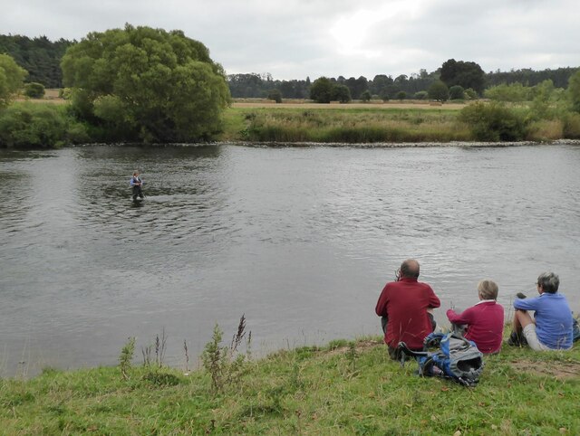
Visitors to Cauld Pool can enjoy a peaceful walk along its banks, immersing themselves in the tranquil surroundings while observing the rich biodiversity. The pool also offers opportunities for fishing, with anglers often trying their luck in catching brown trout and perch.
Overall, Cauld Pool is a hidden gem in the heart of Roxburghshire, offering a serene escape into nature's embrace. Its beauty, combined with the abundance of wildlife, creates an unforgettable experience for all who visit.
If you have any feedback on the listing, please let us know in the comments section below.
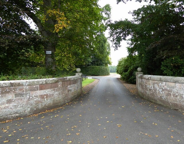
Cauld Pool Images
Images are sourced within 2km of 55.577819/-2.6524667 or Grid Reference NT5831. Thanks to Geograph Open Source API. All images are credited.


Cauld Pool is located at Grid Ref: NT5831 (Lat: 55.577819, Lng: -2.6524667)
Unitary Authority: The Scottish Borders
Police Authority: The Lothians and Scottish Borders
What 3 Words
///catch.logic.absent. Near Saint Boswells, Scottish Borders
Nearby Locations
Related Wikis

Dryburgh
Dryburgh is a village in the Borders region of Scotland, within the county of Berwickshire. It is most famous for the ruined Dryburgh Abbey. Dryburgh Abbey...

Fat Lips
Fat Lips (or Fatlips) is the name given to a legendary spirit dwelling in Dryburgh Abbey in Berwickshire, Scotland. The spirit was associated with a hermit...

Dryburgh Abbey
Dryburgh Abbey, near Dryburgh on the banks of the River Tweed in the Scottish Borders, was nominally founded on 10 November (Martinmas) 1150 in an agreement...

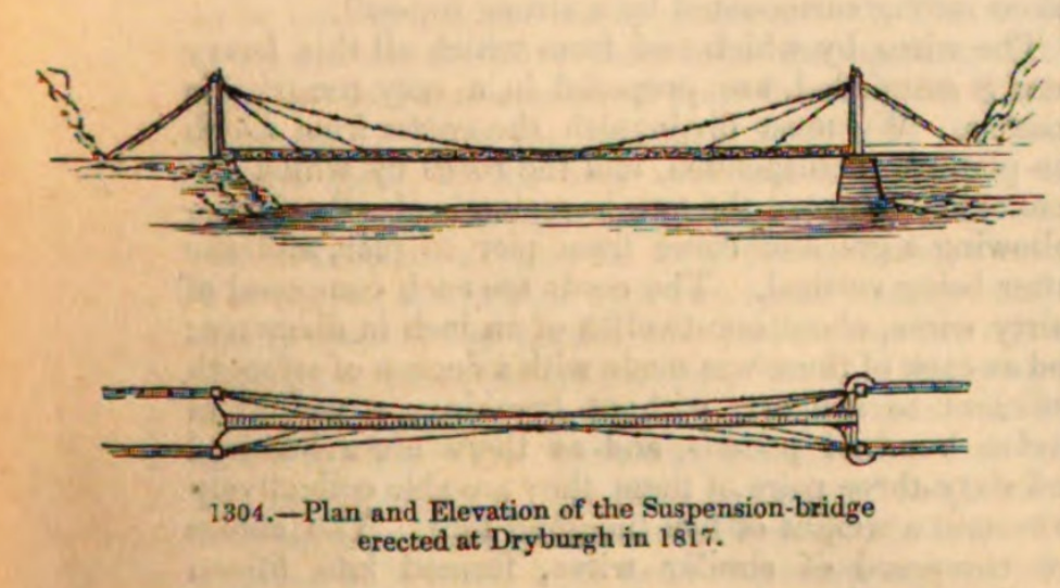
Dryburgh Suspension Bridge
Dryburgh Suspension Bridge is a suspension bridge erected near Dryburgh Abbey, Scottish Borders. == History == The footbridge across the River Tweed...

Dryburgh Abbey Hotel
Dryburgh Abbey Hotel is a baronial country house, located on the banks of the River Tweed, in Dryburgh about 5 km south east of Melrose in the Scottish...
Dryburgh Abbey Bridge
Dryburgh Abbey Bridge was a cable-stayed footbridge of significant historical interest erected near Dryburgh Abbey, in the Borders of Scotland. It connected...

St Boswells
St Boswells (Scots: Bosels / Bosells; Scottish Gaelic: Cille Bhoisil [ˈçiʎəˈvɔʃɪl]) is a village on the south side of the River Tweed in the Scottish Borders...

Statue of William Wallace, Bemersyde
The William Wallace Statue near the grounds of the Bemersyde estate, near Melrose in the Scottish Borders is a statue commemorating William Wallace. It...
Nearby Amenities
Located within 500m of 55.577819,-2.6524667Have you been to Cauld Pool?
Leave your review of Cauld Pool below (or comments, questions and feedback).