Cauld Stream
Lake, Pool, Pond, Freshwater Marsh in Roxburghshire
Scotland
Cauld Stream
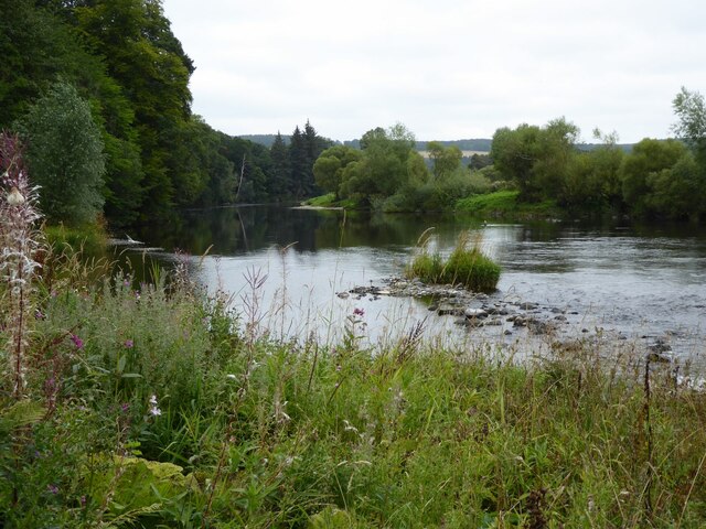
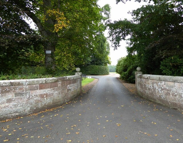
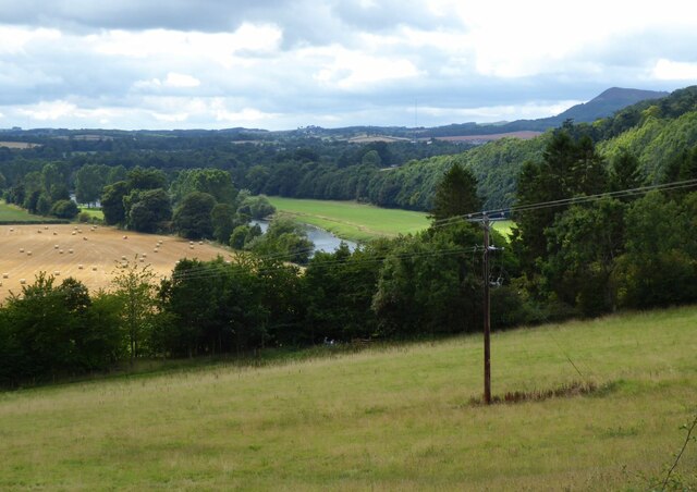
Cauld Stream is a picturesque freshwater marsh located in Roxburghshire, Scotland. It is nestled amidst lush greenery and rolling hills, providing a serene and tranquil setting for nature enthusiasts and visitors alike.
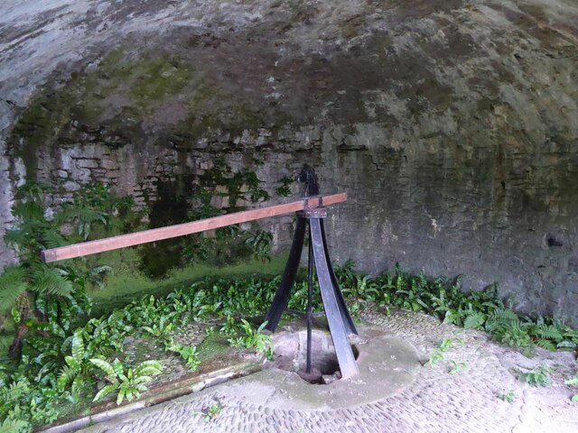
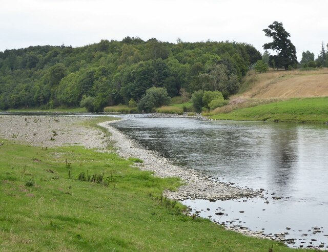
The stream itself is fed by several small tributaries and springs, resulting in a steady flow of crystal-clear water. It meanders through the marsh, creating small pools and ponds along its course. These pools are home to a diverse array of aquatic plants and animals, contributing to the rich biodiversity of the area.
Surrounding the stream are vibrant marsh plants such as reeds, sedges, and rushes. These plants not only add to the beauty of the landscape but also serve as important habitats for various species of birds, insects, and amphibians. The marsh acts as a sanctuary for numerous bird species, including waterfowl like ducks and swans, as well as wading birds such as herons and egrets.
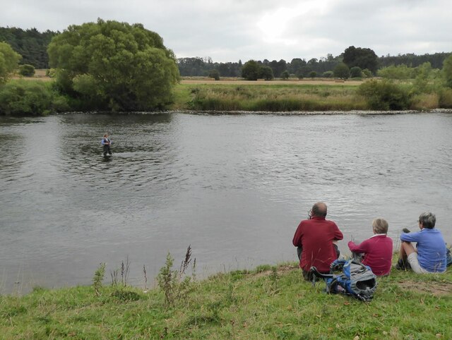
Cauld Stream is also renowned for its abundance of fish, with species like brown trout and salmon populating its waters. Anglers are often seen casting their lines, hoping for a bountiful catch. The stream's clear and unpolluted water provides an ideal environment for these fish to thrive.
Visitors to Cauld Stream can enjoy leisurely walks along its banks, taking in the stunning scenery and observing the diverse wildlife. The marsh offers a peaceful retreat, away from the hustle and bustle of city life, making it a popular destination for nature lovers and those seeking a tranquil escape.
If you have any feedback on the listing, please let us know in the comments section below.
Cauld Stream Images
Images are sourced within 2km of 55.576319/-2.6539486 or Grid Reference NT5831. Thanks to Geograph Open Source API. All images are credited.


Cauld Stream is located at Grid Ref: NT5831 (Lat: 55.576319, Lng: -2.6539486)
Unitary Authority: The Scottish Borders
Police Authority: The Lothians and Scottish Borders
What 3 Words
///addicted.immune.gums. Near Saint Boswells, Scottish Borders
Nearby Locations
Related Wikis

Fat Lips
Fat Lips (or Fatlips) is the name given to a legendary spirit dwelling in Dryburgh Abbey in Berwickshire, Scotland. The spirit was associated with a hermit...

Dryburgh Abbey
Dryburgh Abbey, near Dryburgh on the banks of the River Tweed in the Scottish Borders, was nominally founded on 10 November (Martinmas) 1150 in an agreement...

Dryburgh
Dryburgh is a village in the Borders region of Scotland, within the county of Berwickshire. It is most famous for the ruined Dryburgh Abbey. Dryburgh Abbey...

Dryburgh Suspension Bridge
Dryburgh Suspension Bridge is a suspension bridge erected near Dryburgh Abbey, Scottish Borders. == History == The footbridge across the River Tweed...
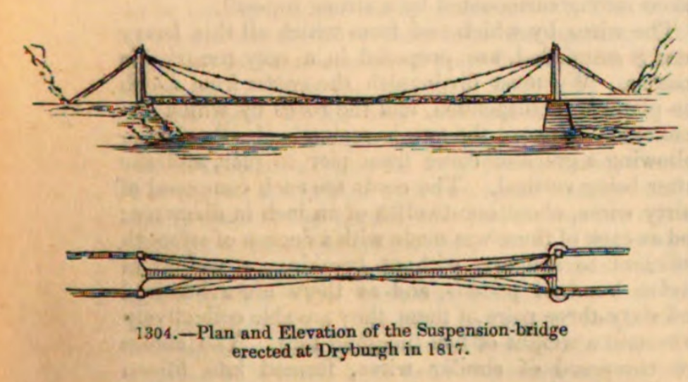
Dryburgh Abbey Bridge
Dryburgh Abbey Bridge was a cable-stayed footbridge of significant historical interest erected near Dryburgh Abbey, in the Borders of Scotland. It connected...

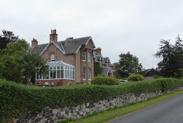
Dryburgh Abbey Hotel
Dryburgh Abbey Hotel is a baronial country house, located on the banks of the River Tweed, in Dryburgh about 5 km south east of Melrose in the Scottish...

St Boswells
St Boswells (Scots: Bosels / Bosells; Scottish Gaelic: Cille Bhoisil [ˈçiʎəˈvɔʃɪl]) is a village on the south side of the River Tweed in the Scottish Borders...

Statue of William Wallace, Bemersyde
The William Wallace Statue near the grounds of the Bemersyde estate, near Melrose in the Scottish Borders is a statue commemorating William Wallace. It...
Nearby Amenities
Located within 500m of 55.576319,-2.6539486Have you been to Cauld Stream?
Leave your review of Cauld Stream below (or comments, questions and feedback).