Great Bolas

Settlement in Shropshire

England

Great Bolas

Farmland at Harebutt Bank
Farmland at Harebutt Bank Credit: Richard Law

Great Bolas is a small village located in the county of Shropshire, England. Situated approximately 5 miles northeast of Telford, the village is surrounded by picturesque countryside and offers a peaceful rural setting. Great Bolas is part of the parish of High Ercall and falls within the Telford and Wrekin district.

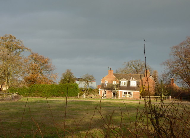
The village is home to a population of around 200 residents and features a charming mix of traditional architecture, including historic cottages and farmhouses. The centerpiece of Great Bolas is its beautiful 12th-century church, St. John the Baptist, which stands as a testament to the area's rich history.

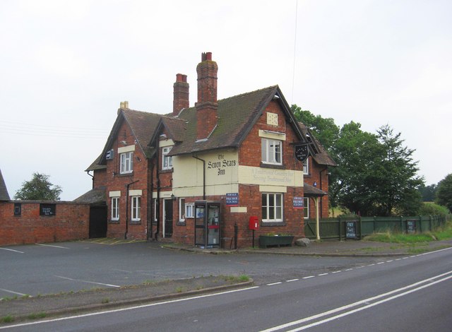
Despite its small size, Great Bolas offers a range of amenities and facilities for its residents. These include a village hall, playground, and a well-regarded primary school. The village also boasts a popular pub, The Lion Inn, which serves as a social hub for locals and visitors alike.

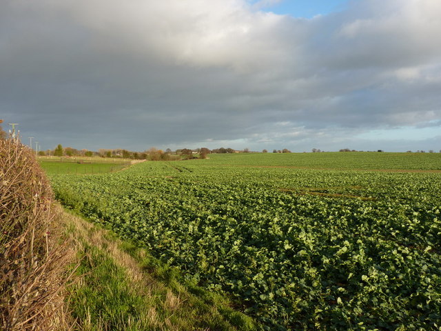
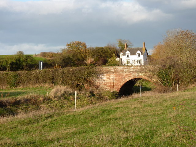
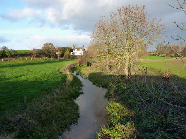
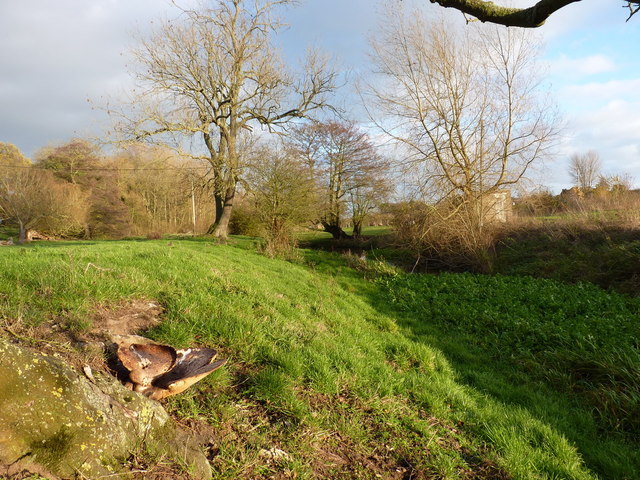
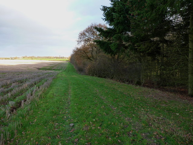
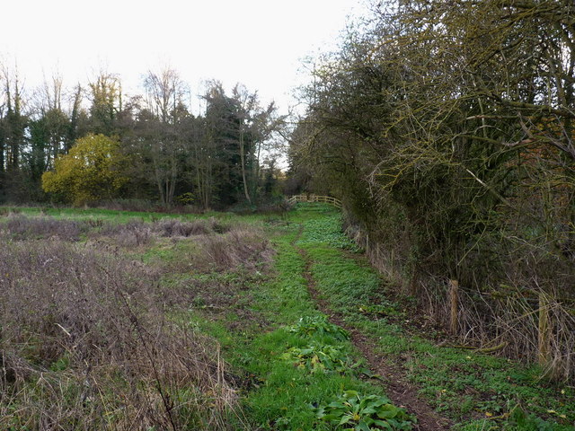
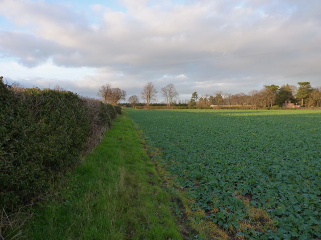
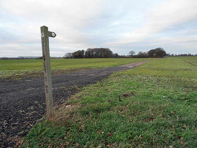
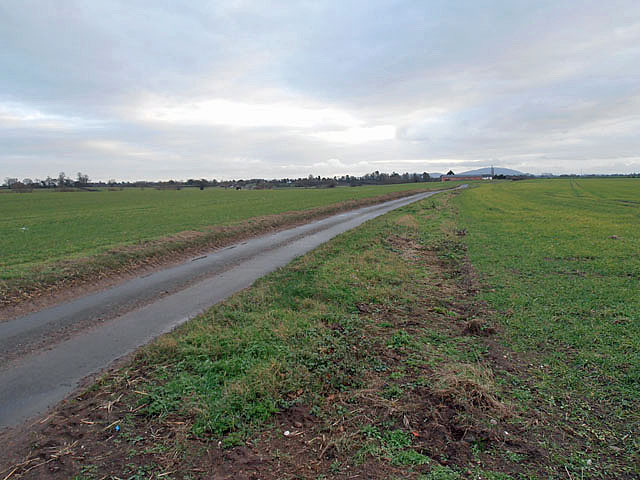
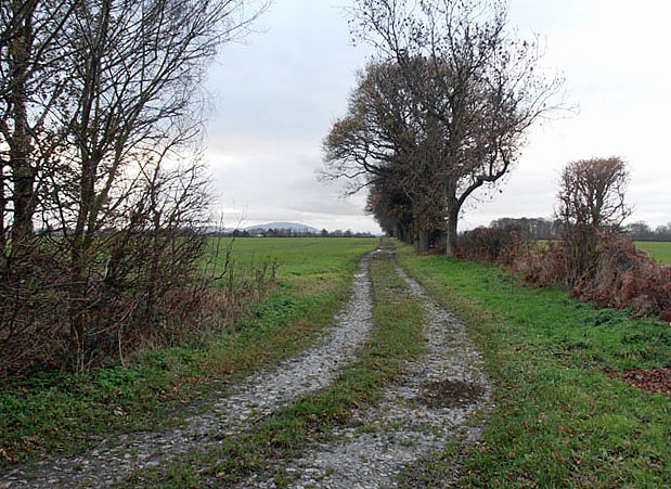
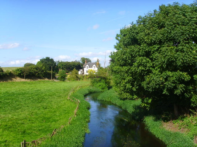
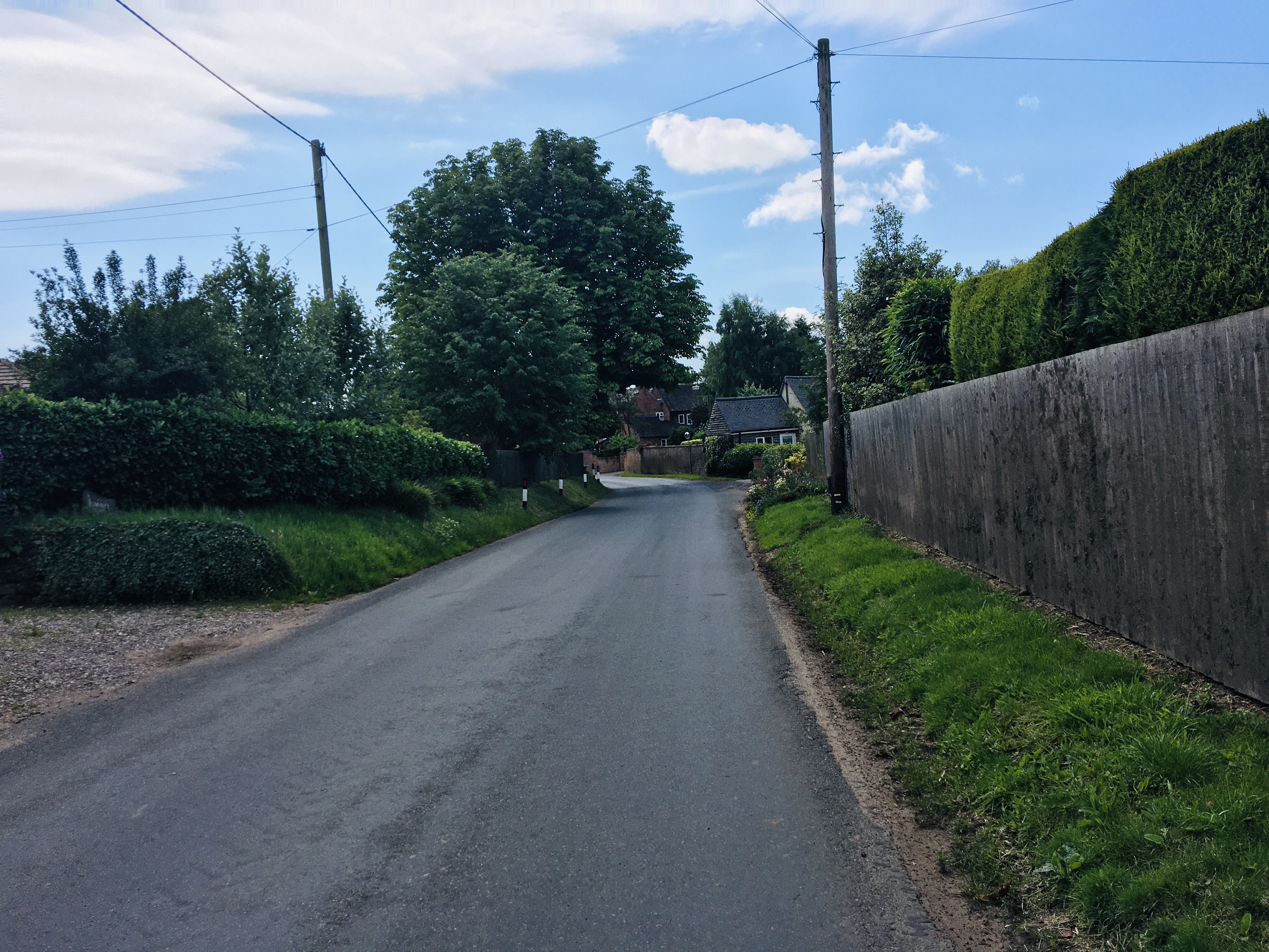
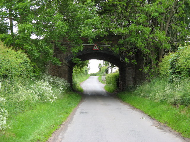
Surrounded by rolling hills and lush green fields, Great Bolas is an ideal location for those seeking a tranquil escape from the hustle and bustle of city life. The village offers ample opportunities for outdoor activities, including walking, cycling, and horse riding, with numerous scenic routes and trails in the vicinity.

Great Bolas is conveniently located near the Telford town center, offering easy access to a wider range of amenities, shopping centers, and entertainment options. Additionally, the village benefits from good transport links, with the nearby A442 providing quick connections to larger towns and cities in the region.

Overall, Great Bolas presents a charming rural retreat, combining historic charm with modern conveniences, making it an idyllic place to call home or visit for those seeking a peaceful countryside experience.

If you have any feedback on the listing, please let us know in the comments section below.
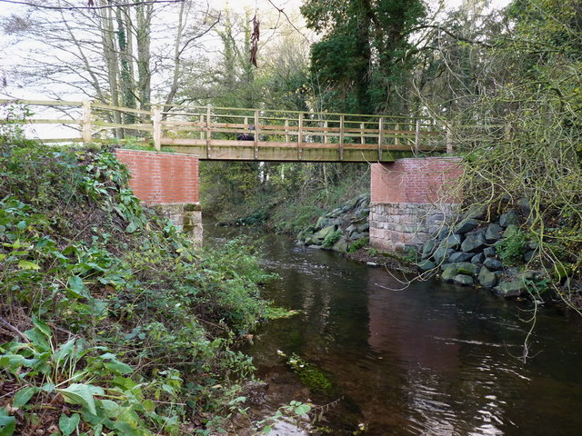
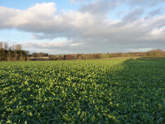
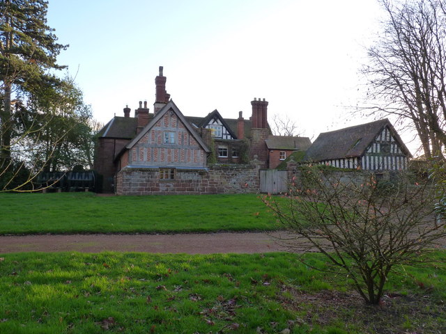
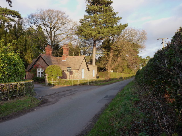
Great Bolas Images

Images are sourced within 2km of 52.789342/-2.525941 or Grid Reference SJ6421. Thanks to Geograph Open Source API. All images are credited.

Farmland at Harebutt Bank
Harebutt farm The main house at the intriguingly-named Harebutt Farm
Harebutt farm
The main house at the intriguingly-named Harebutt Farm
Bolas bridge - over the River Meese The bridge is a Grade II listed structure from 1795, with a benchmark cut into one of the parapet stones on the western side of the road.
Bolas bridge - over the River Meese
The bridge is a Grade II listed structure from 1795, with a benchmark cut into one of the parapet stones on the western side of the road.
Cut benchmark - Bolas bridge Not a great picture; the light wasn't ideal, but there's a cut mark in the main square sandstone block in the centre of the shot.
Cut benchmark - Bolas bridge
Not a great picture; the light wasn't ideal, but there's a cut mark in the main square sandstone block in the centre of the shot.
The Meese upstream of Bolas bridge
The Meese valley near Great Bolas A large bracket fungus growing out of the bole of a tree provides the foreground in a low shot of the river valley.
The Meese valley near Great Bolas
A large bracket fungus growing out of the bole of a tree provides the foreground in a low shot of the river valley.
Footpath alongside a copse near Great Bolas
Path to the footbridge over the Meese
Spangly new bridge over the River Meese
Crops in fields north of Meeson Hall
Meeson Hall from the rear A Grade II listed building, dating from 1640, but modernised over the years.
<span class="nowrap"><a title="http://www.britishlistedbuildings.co.uk/en-361873-meeson-hall-including-adjoining-timber-f" rel="nofollow ugc noopener" href="http://www.britishlistedbuildings.co.uk/en-361873-meeson-hall-including-adjoining-timber-f">Link</a><img style="margin-left:2px;" alt="External link" title="External link - shift click to open in new window" src="https://s1.geograph.org.uk/img/external.png" width="10" height="10"/></span>
Meeson Hall from the rear
A Grade II listed building, dating from 1640, but modernised over the years. LinkExternal link
West Lodge entrance to Meeson Hall
Footpath between Meeson Hall and Meeson Heath
Cottages in Meeson Heath
An easy to follow footpath
Flat land and a lane The hill in the distance is the Wrekin - just south of Wellington, the A5 and the M54.
Flat land and a lane
The hill in the distance is the Wrekin - just south of Wellington, the A5 and the M54.
Bridleway, hedges, field and in the distance the Wrekin
The Seven Stars Inn (1), Whitchurch Road near Cold Hatton, Shropshire This public house is for sale and seems to be closed. Situated on the A442 road, it is in the geographic county of Shropshire but in the administrative area of Telford & Wrekin Council. The pub was owned by the company which owned the Oakwell Brewery in Barnsley. In April 2013 the company was closing its brewery and selling the site and all its widely dispersed estate of about 30 pubs.

The pub had three small rooms, one with a pool table, and outside a large beer garden with children's play area. The building dates from 1876, according to the date which appears above the first floor front window. Unfortunately its future prospects are not helped by the fact that another nearby pub on the A442 is also currently closed and for sale.

<a href="https://www.geograph.org.uk/photo/3622591">SJ6220 : The Seven Stars Inn (2) - sign, Whitchurch Road near Cold Hatton, Shropshire</a>.
<a href="https://www.geograph.org.uk/photo/3622649">SJ6220 : The Seven Stars Inn (3), Whitchurch Road near Cold Hatton, Shropshire</a>.
<a href="https://www.geograph.org.uk/photo/3622690">SJ6220 : The Seven Stars Inn (4) - beer garden, Whitchurch Road near Cold Hatton, Shropshire</a>.
The Seven Stars Inn (1), Whitchurch Road near Cold Hatton, Shropshire
This public house is for sale and seems to be closed. Situated on the A442 road, it is in the geographic county of Shropshire but in the administrative area of Telford & Wrekin Council. The pub was owned by the company which owned the Oakwell Brewery in Barnsley. In April 2013 the company was closing its brewery and selling the site and all its widely dispersed estate of about 30 pubs. The pub had three small rooms, one with a pool table, and outside a large beer garden with children's play area. The building dates from 1876, according to the date which appears above the first floor front window. Unfortunately its future prospects are not helped by the fact that another nearby pub on the A442 is also currently closed and for sale. SJ6220 : The Seven Stars Inn (2) - sign, Whitchurch Road near Cold Hatton, Shropshire. SJ6220 : The Seven Stars Inn (3), Whitchurch Road near Cold Hatton, Shropshire. SJ6220 : The Seven Stars Inn (4) - beer garden, Whitchurch Road near Cold Hatton, Shropshire.
Show me another place!

Great Bolas is located at Grid Ref: SJ6421 (Lat: 52.789342, Lng: -2.525941)

Unitary Authority: Telford and Wrekin

Police Authority: West Mercia

What 3 Words

///bumpy.milk.diets. Near Eyton upon the Weald Moors, Shropshire

Related Wikis

Nearby Amenities

Located within 500m of 52.789342,-2.525941
Elvaston House
Place: farm
Lat/Long: 52.7926097/-2.5289003
Give Way
Direction: backward
Lat/Long: 52.7891862/-2.521947
Great Bolas
Is In: Telford & Wrekin
Place: village
Wikidata: Q3811244
Wikipedia: en:Great Bolas
Lat/Long: 52.7887164/-2.5233798
Give Way
Direction: backward
Lat/Long: 52.7885663/-2.5233115
The data included in this document is from www.openstreetmap.org. The data is made available under ODbL.

Have you been to Great Bolas?

Leave your review of Great Bolas below (or comments, questions and feedback).