Bolas, Great
Settlement in Shropshire
England
Bolas, Great
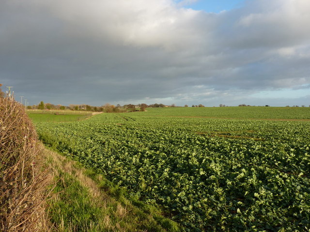
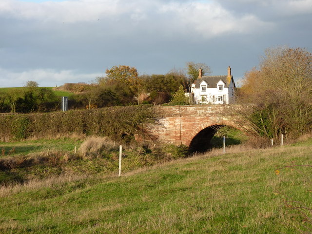
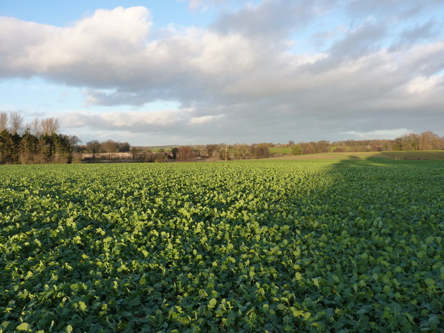
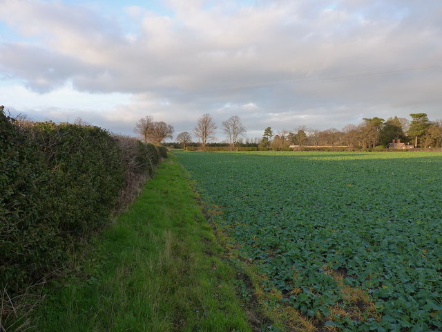
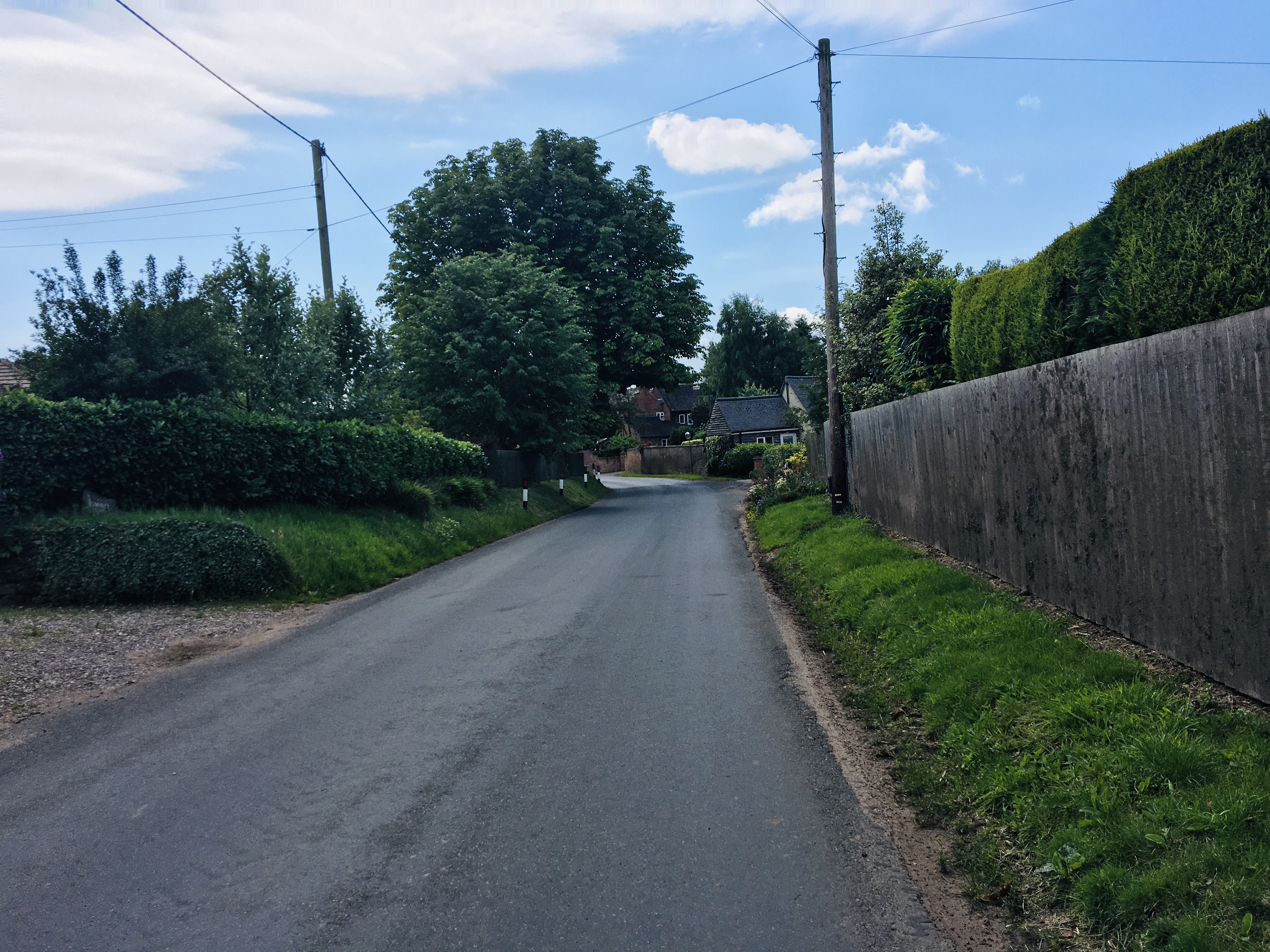
Bolas is a small village located in the county of Shropshire, England. Situated in the West Midlands region, it is part of the rural district of Great. The village is nestled amidst picturesque countryside, surrounded by lush green fields and rolling hills.
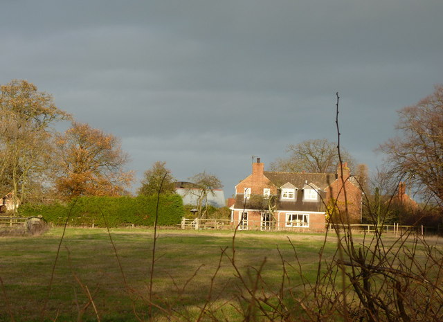
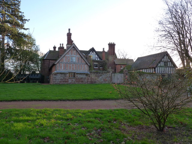
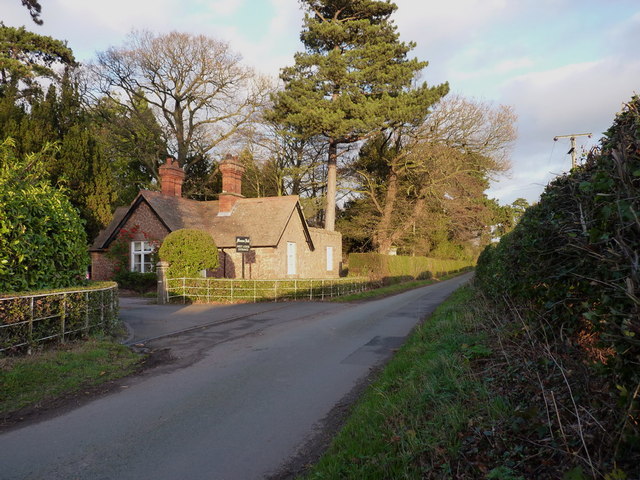
Bolas is known for its tranquil and idyllic setting, offering a peaceful retreat away from the hustle and bustle of city life. The village is characterized by its charming cottages, some dating back to the 18th century, which dot the landscape, adding to its quaint and timeless appeal.
The community in Bolas is tight-knit and friendly, with a population of approximately 400 residents. The village has a strong sense of community spirit, and its inhabitants take pride in maintaining the rural traditions and heritage of the area.
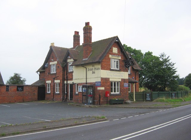
The village is home to a few amenities, including a local pub, where both locals and visitors can enjoy a drink and a meal. Bolas also boasts a village hall, which serves as a hub for various community activities and events.
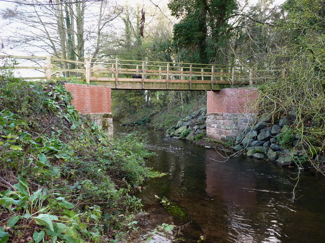
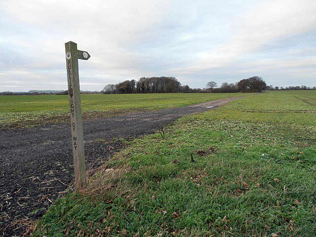
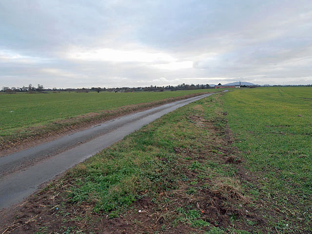
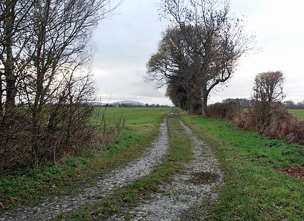
Surrounded by natural beauty, Bolas offers ample opportunities for outdoor recreation and exploration. The nearby countryside provides walking paths and cycling routes for residents and visitors to enjoy. The village is also conveniently located near several nature reserves and parks, allowing nature enthusiasts to immerse themselves in the stunning landscapes of Shropshire.
Overall, Bolas is a charming and serene village, ideal for those seeking a peaceful retreat in the heart of the English countryside.
If you have any feedback on the listing, please let us know in the comments section below.
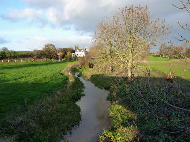
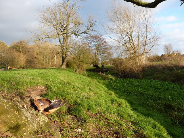
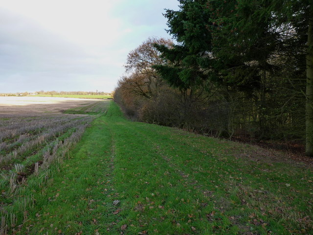
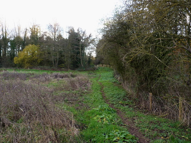
Bolas, Great Images
Images are sourced within 2km of 52.789342/-2.525941 or Grid Reference SJ6421. Thanks to Geograph Open Source API. All images are credited.

Bolas, Great is located at Grid Ref: SJ6421 (Lat: 52.789342, Lng: -2.525941)
Unitary Authority: Telford and Wrekin
Police Authority: West Mercia
What 3 Words
///bumpy.milk.diets. Near Eyton upon the Weald Moors, Shropshire
Nearby Locations
Related Wikis
Great Bolas
Great Bolas (), or Bolas Magna, is a village in the Telford and Wrekin borough of Shropshire, England, It is situated north-west of Newport, and about...

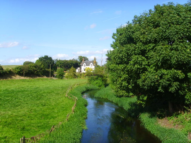
River Meese
The River Meese is a river located in Shropshire, England. It is a tributary of the River Tern, which in turn is a tributary of the River Severn. The river...
Eaton upon Tern
Eaton upon Tern is a small village, located in the parish of Stoke upon Tern in Northern Shropshire, England. The parish also includes the settlements...
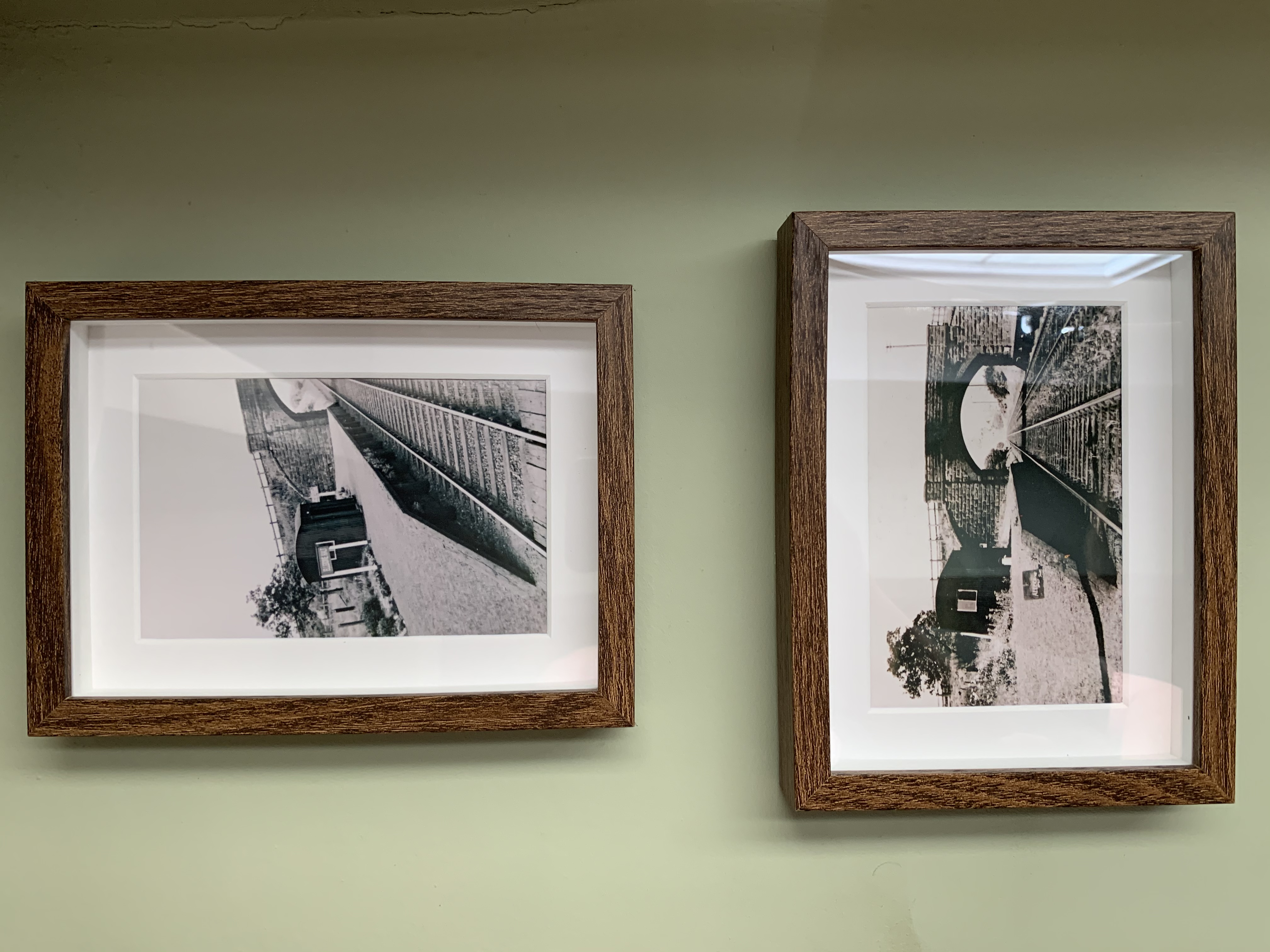
Ellerdine Halt railway station
Ellerdine Halt railway station was a station in Cold Hatton, Shropshire, England. The station was opened in 1930 and closed in 1963. The station was named...
Nearby Amenities
Located within 500m of 52.789342,-2.525941Have you been to Bolas, Great?
Leave your review of Bolas, Great below (or comments, questions and feedback).