Glenniehouse Pot

Lake, Pool, Pond, Freshwater Marsh in Banffshire

Scotland

Glenniehouse Pot

Near Ardmeallie Looking down from near Cairnhill Croft to cottages by the road near Ardmeallie. The lower slopes of Catstone Hill are on the left.
Near Ardmeallie Credit: Anne Burgess

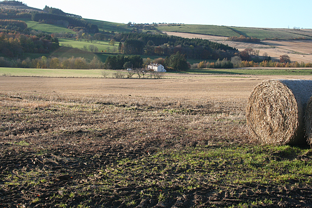
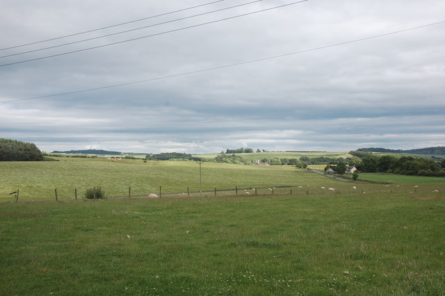
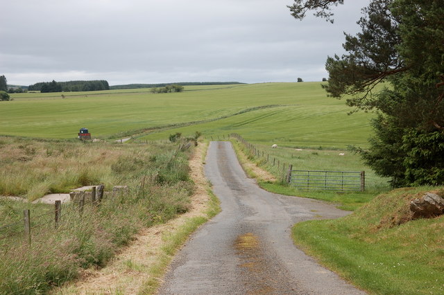
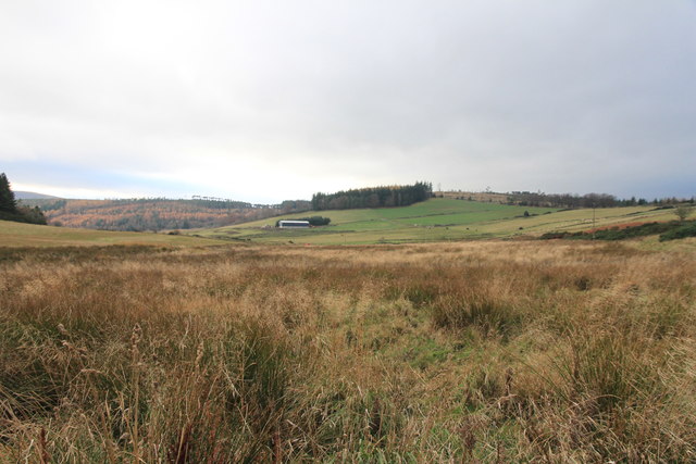
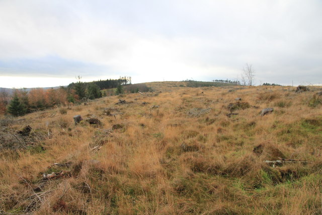
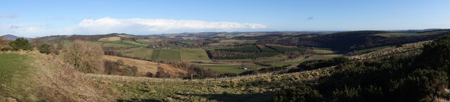
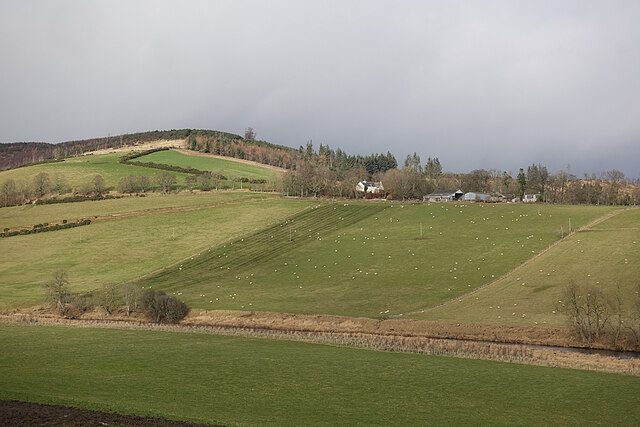
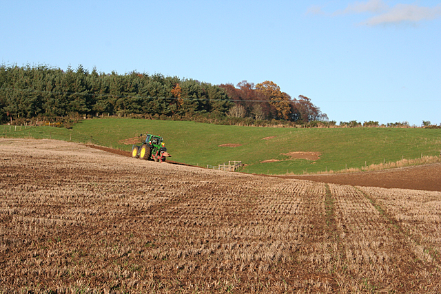
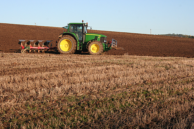
Glenniehouse Pot is a picturesque freshwater marsh located in Banffshire, Scotland. Nestled amidst the rolling hills and breathtaking landscapes, this natural wonder is a haven for nature enthusiasts and birdwatchers alike. Spanning over an area of approximately 5 acres, the pot is a small, tranquil body of water that serves as a vital habitat for a diverse range of flora and fauna.

The pot's crystal clear waters are home to various species of aquatic plants, including water lilies and reeds, which create a vibrant and colorful display throughout the year. These plants provide shelter and food for a variety of aquatic creatures, including frogs, newts, and small fish, adding to the pot's ecological diversity.

The pot also acts as a vital stopover for migratory birds, making it a popular spot for birdwatching enthusiasts. Visitors can witness a plethora of bird species, such as herons, mallards, and swans, as they grace the pot's tranquil waters and surrounding marshland. The calming atmosphere and untouched beauty of this natural habitat provide a perfect setting for visitors to immerse themselves in the wonders of nature.

Surrounded by lush greenery and offering breathtaking panoramic views, Glenniehouse Pot is a true hidden gem in the heart of Banffshire. Whether it's a leisurely stroll along its banks or a peaceful picnic amidst nature, this idyllic spot offers a serene escape from the hustle and bustle of everyday life.

If you have any feedback on the listing, please let us know in the comments section below.

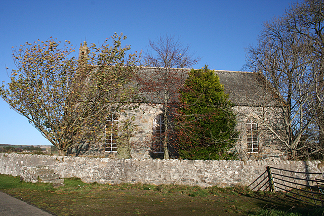
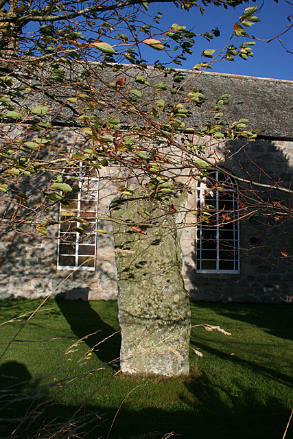
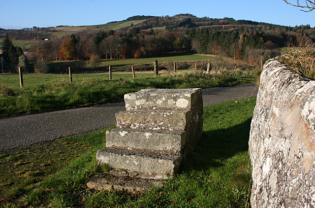
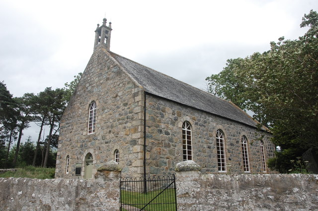
Glenniehouse Pot Images

Images are sourced within 2km of 57.531928/-2.6968663 or Grid Reference NJ5849. Thanks to Geograph Open Source API. All images are credited.

Near Ardmeallie Looking down from near Cairnhill Croft to cottages by the road near Ardmeallie. The lower slopes of Catstone Hill are on the left.
Near Ardmeallie
Looking down from near Cairnhill Croft to cottages by the road near Ardmeallie. The lower slopes of Catstone Hill are on the left.
Standing Stone This stone stands outside the wall surrounding the kirk. There is a suggestion that it once formed part of a stone circle where the kirk now is, but was moved and re-erected here. See <span class="nowrap"><a title="https://canmore.org.uk/site/17915/st-marnans-chair" rel="nofollow ugc noopener" href="https://canmore.org.uk/site/17915/st-marnans-chair">Link</a><img style="margin-left:2px;" alt="External link" title="External link - shift click to open in new window" src="https://s1.geograph.org.uk/img/external.png" width="10" height="10"/></span> for more information.
Standing Stone
This stone stands outside the wall surrounding the kirk. There is a suggestion that it once formed part of a stone circle where the kirk now is, but was moved and re-erected here. See LinkExternal link for more information.
St Marnan's Chair Either St Marnan was a very odd shape, or perhaps he was into pole-sitting. This un-chair-like standing stone is in the grounds of St Marnan's Kirk. It may have formed part of an ancient stone circle. See <span class="nowrap"><a title="https://canmore.org.uk/site/17915/st-marnans-chair" rel="nofollow ugc noopener" href="https://canmore.org.uk/site/17915/st-marnans-chair">Link</a><img style="margin-left:2px;" alt="External link" title="External link - shift click to open in new window" src="https://s1.geograph.org.uk/img/external.png" width="10" height="10"/></span> for more information.
St Marnan's Chair
Either St Marnan was a very odd shape, or perhaps he was into pole-sitting. This un-chair-like standing stone is in the grounds of St Marnan's Kirk. It may have formed part of an ancient stone circle. See LinkExternal link for more information.
St Marnan's Kirk This is the parish kirk of Marnoch, built in 1782. It replaced an earlier building further down near the river, where the kirkyard is. See <span class="nowrap"><a title="http://www.scottishchurches.org.uk/sites/site/id/703/name/Marnoch+Old+Parish+Church+Marnoch+Grampian" rel="nofollow ugc noopener" href="http://www.scottishchurches.org.uk/sites/site/id/703/name/Marnoch+Old+Parish+Church+Marnoch+Grampian">Link</a><img style="margin-left:2px;" alt="External link" title="External link - shift click to open in new window" src="https://s1.geograph.org.uk/img/external.png" width="10" height="10"/></span> for more information.
St Marnan's Kirk
This is the parish kirk of Marnoch, built in 1782. It replaced an earlier building further down near the river, where the kirkyard is. See LinkExternal link for more information.
Marnoch Parish Kirk Dedicated to St Marnan, built in 1782 and still in use. The trees make it difficult to photograph well, but <a href="https://www.geograph.org.uk/photo/391947">NJ5950 : Marnoch old church</a> is an older view. See <span class="nowrap"><a title="http://www.scottishchurches.org.uk/sites/site/id/703/name/Marnoch+Old+Parish+Church+Marnoch+Grampian" rel="nofollow ugc noopener" href="http://www.scottishchurches.org.uk/sites/site/id/703/name/Marnoch+Old+Parish+Church+Marnoch+Grampian">Link</a><img style="margin-left:2px;" alt="External link" title="External link - shift click to open in new window" src="https://s1.geograph.org.uk/img/external.png" width="10" height="10"/></span> for more information.
Marnoch Parish Kirk
Dedicated to St Marnan, built in 1782 and still in use. The trees make it difficult to photograph well, but NJ5950 : Marnoch old church is an older view. See LinkExternal link for more information.
St Marnan's Chair Either St Marnan was a very odd shape, or perhaps he was into pole-sitting. This un-chair-like standing stone is in the grounds of St Marnan's Kirk. It may have formed part of an ancient stone circle. See <span class="nowrap"><a title="https://canmore.org.uk/site/17915/st-marnans-chair" rel="nofollow ugc noopener" href="https://canmore.org.uk/site/17915/st-marnans-chair">Link</a><img style="margin-left:2px;" alt="External link" title="External link - shift click to open in new window" src="https://s1.geograph.org.uk/img/external.png" width="10" height="10"/></span> for more information.
St Marnan's Chair
Either St Marnan was a very odd shape, or perhaps he was into pole-sitting. This un-chair-like standing stone is in the grounds of St Marnan's Kirk. It may have formed part of an ancient stone circle. See LinkExternal link for more information.
Loupin-on Stane This mounting block stands just outside the kirkyard wall at Marnoch Parish Kirk.
Loupin-on Stane
This mounting block stands just outside the kirkyard wall at Marnoch Parish Kirk.
Marnoch Old Kirk This handsome rectangular kirk replaced St Marnoch's (old) Church, situated a few hundred metres to the southwest, in around 1790.  The bell, presumably from the old church, is dated 1747.  The congregation 'came out' in 1841 in a row over patronage and established a new church (confusingly called New Marnoch Church) at the planned village of Aberchirder, about 3km to the northeast (see: <a title="https://www.geograph.org.uk/photo/5450589" href="https://www.geograph.org.uk/photo/5450589">Link</a> ).  The two kirks were reunited in 1929 and it is now part of a joint parish with its Aberchirder neighbour.  A fine standing stone called St Marnan's Chair can be seen in the kirkyard.
Marnoch Old Kirk
This handsome rectangular kirk replaced St Marnoch's (old) Church, situated a few hundred metres to the southwest, in around 1790. The bell, presumably from the old church, is dated 1747. The congregation 'came out' in 1841 in a row over patronage and established a new church (confusingly called New Marnoch Church) at the planned village of Aberchirder, about 3km to the northeast (see: Link ). The two kirks were reunited in 1929 and it is now part of a joint parish with its Aberchirder neighbour. A fine standing stone called St Marnan's Chair can be seen in the kirkyard.
St Marnan's Chair A fine standing stone in the kirkyard of Marnoch Old Kirk, thought to possibly date from the bronze age: <span class="nowrap"><a title="https://canmore.org.uk/site/17915/st-marnans-chair" rel="nofollow ugc noopener" href="https://canmore.org.uk/site/17915/st-marnans-chair">Link</a><img style="margin-left:2px;" alt="External link" title="External link - shift click to open in new window" src="https://s1.geograph.org.uk/img/external.png" width="10" height="10"/></span> .
St Marnan's Chair
A fine standing stone in the kirkyard of Marnoch Old Kirk, thought to possibly date from the bronze age: LinkExternal link .
View over the fields Typical rolling hills in this part of Aberdeenshire.
View over the fields
Typical rolling hills in this part of Aberdeenshire.
Single-track road A typical Aberdeenshire byway which makes its windy way to Aberchirder.
Single-track road
A typical Aberdeenshire byway which makes its windy way to Aberchirder.
Track near Moss-Side of Mayen With forested Catstone Hill beyond.
Track near Moss-Side of Mayen
With forested Catstone Hill beyond.
Cairn of Mayen
Cairn of Mayen
Hill of Retenach Viewed from Hill of Cairns.
Hill of Retenach
Viewed from Hill of Cairns.
Mayen and the River Deveron In the middle distance is Mayen, which is almost surrounded by a meander of the River Deveron, which turns from flowing south-eastwards to flowing northwards in just a couple of miles. The glen of the Deveron between Rothiemay and Turriff is an excellent example of incised meanders, where the twisting course of an ancient river has been preserved as the river has cut down into the underlying bedrock. The bedrock here is mainly pelite and psammite, formed by metamorphosis of mudstones and sandstones deposited in a deep sea environment between 500 and 1000 million years ago.
Mayen and the River Deveron
In the middle distance is Mayen, which is almost surrounded by a meander of the River Deveron, which turns from flowing south-eastwards to flowing northwards in just a couple of miles. The glen of the Deveron between Rothiemay and Turriff is an excellent example of incised meanders, where the twisting course of an ancient river has been preserved as the river has cut down into the underlying bedrock. The bedrock here is mainly pelite and psammite, formed by metamorphosis of mudstones and sandstones deposited in a deep sea environment between 500 and 1000 million years ago.
Mains of Mayen Viewed from above the opposite bank of the River Deveron.
Mains of Mayen
Viewed from above the opposite bank of the River Deveron.
Ploughing below Bellman's Wood Bellman's Wood occupies the top of the slope above the B9117 near Marnoch.
Ploughing below Bellman's Wood
Bellman's Wood occupies the top of the slope above the B9117 near Marnoch.
Ploughing at Marnoch A tractorman ploughs meticulous furrows in a field by the B9117 at Marnoch.
Ploughing at Marnoch
A tractorman ploughs meticulous furrows in a field by the B9117 at Marnoch.
Show me another place!

Glenniehouse Pot is located at Grid Ref: NJ5849 (Lat: 57.531928, Lng: -2.6968663)

Unitary Authority: Aberdeenshire

Police Authority: North East

What 3 Words

///chat.baker.oasis. Near Aberchirder, Aberdeenshire

Related Wikis

Milltown of Rothiemay

Milltown of Rothiemay (Scottish Gaelic: RĂ th a' Mhuigh) is a small inland village, built mostly of granite, in the north-east of Scotland and is within...

Fourman Hill

Fourman Hill is a hill located west of Bogniebrae, Aberdeenshire, Scotland. It has an elevation of 1,127 feet (344 m). A cairn near the summit marked the...

Mountains Burn

Mountains Burn is a burn which marks the boundary of the parish of Huntly, Aberdeenshire, Scotland. == References ==

Yonder Bognie

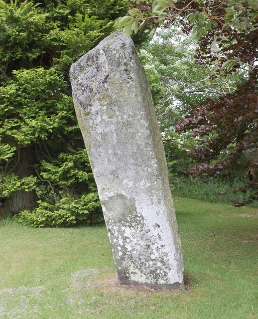
Yonder Bognie is a stone circle in Aberdeenshire, Scotland. It is located in an agricultural field under private ownership and is a scheduled monument...

Bognie Castle

Bognie Castle (also called Conzie Castle) is a ruined castle near Huntly and Banff in the Aberdeenshire region of Scotland. It was built in the 17th century...

Bogniebrae

Bogniebrae () is a small rural settlement in Aberdeenshire, Scotland. It is located at the junction of the A97 and B9001 roads, six miles (ten kilometres...

Aberchirder

Aberchirder (Scots: Fogieloan, Scottish Gaelic: Obar Chiardair) known locally as Foggieloan or Foggie, is a village in Aberdeenshire, Scotland, situated...
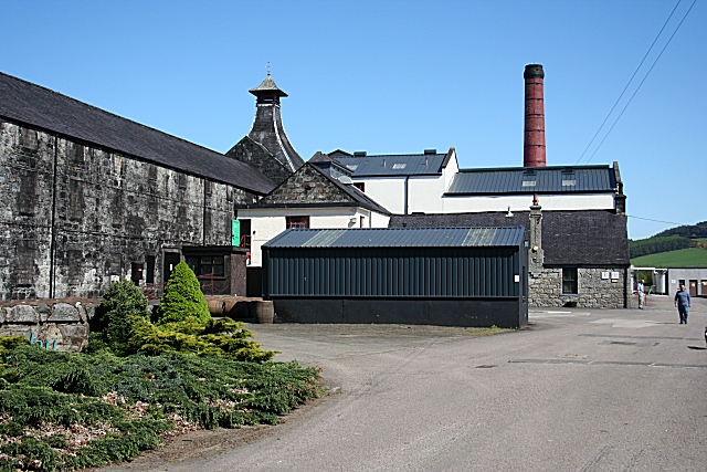
Knockdhu distillery

Knockdhu distillery is a whisky distillery situated in Knock, Banffshire and owned by Inver House Distillers Limited. == History == The distillery was...

Nearby Amenities

Located within 500m of 57.531928,-2.6968663
Power: pole
Lat/Long: 57.5296628/-2.7022852
Power: pole
Lat/Long: 57.5293221/-2.7031949
Power: pole
Lat/Long: 57.529756/-2.703836
Power: pole
Lat/Long: 57.5302841/-2.7041322
Power: pole
Lat/Long: 57.5310406/-2.7043353
Power: pole
Lat/Long: 57.5317152/-2.7042147
Power: pole
Lat/Long: 57.5323478/-2.7041026
Power: pole
Lat/Long: 57.5329748/-2.7044051
Power: pole
Lat/Long: 57.5326522/-2.7034806
Power: pole
Lat/Long: 57.5329748/-2.7028205
Power: pole
Lat/Long: 57.5333144/-2.7021202
Power: pole
Lat/Long: 57.5329907/-2.7008635
Power: pole
Lat/Long: 57.5326903/-2.6997104
Power: pole
Lat/Long: 57.5333246/-2.7021159
Power: pole
Lat/Long: 57.5339265/-2.7018853
Power: pole
Lat/Long: 57.5345534/-2.7016336
The data included in this document is from www.openstreetmap.org. The data is made available under ODbL.

Have you been to Glenniehouse Pot?

Leave your review of Glenniehouse Pot below (or comments, questions and feedback).