Blind Tarn

Lake, Pool, Pond, Freshwater Marsh in Cumberland Carlisle

England

Blind Tarn

Track Near Clesketts I was forced off the main right of way by a large herd of cows with calves in the fields near Tortie.
Track Near Clesketts Credit: Michael Graham

Blind Tarn is a tranquil freshwater pool located in the district of Cumberland, in the North West region of England. Nestled amidst the picturesque landscape of the Lake District National Park, this natural gem offers a serene and scenic retreat for nature enthusiasts and visitors alike.

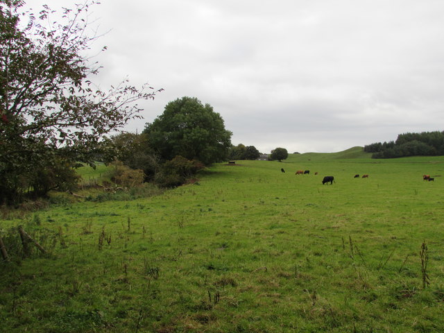
With a surface area of approximately 2 hectares, Blind Tarn is a relatively small body of water, yet it boasts remarkable beauty and ecological significance. Surrounded by verdant hills and lush woodlands, the tarn is a haven for a diverse range of flora and fauna. Its crystal-clear waters reflect the surrounding landscape, creating a mesmerizing sight.

The tarn is home to various species of freshwater fish, including trout and perch, making it a popular spot for anglers. The tranquil atmosphere and abundance of wildlife also attract birdwatchers and nature photographers, who can capture stunning images of waterfowl, such as mallards and teal, as well as the occasional heron or kingfisher.

The shoreline of Blind Tarn is adorned with vibrant vegetation, including reeds and rushes that fringe the water's edge. These provide valuable habitat for a variety of amphibians and insects, adding to the area's biodiversity.

Visitors to Blind Tarn can enjoy the peaceful ambiance by taking a leisurely stroll around its perimeter, or simply sit and admire the breathtaking views. The tarn offers a genuine escape from the hustle and bustle of daily life, allowing visitors to connect with nature and experience the serenity of this enchanting freshwater oasis.

If you have any feedback on the listing, please let us know in the comments section below.

Blind Tarn Images

Images are sourced within 2km of 54.926491/-2.6617275 or Grid Reference NY5759. Thanks to Geograph Open Source API. All images are credited.

Track Near Clesketts I was forced off the main right of way by a large herd of cows with calves in the fields near Tortie.
Track Near Clesketts
I was forced off the main right of way by a large herd of cows with calves in the fields near Tortie.
Old Quarry, Forest Head Impressive line of brick columns by the main quarry
Old Quarry, Forest Head
Impressive line of brick columns by the main quarry
Kirkhouse Farm From the mid 18th to early 19th centuries, the Earl of Carlisle's coal and mineral operations were managed by successive colliery agents, who lived at this property in Kirkhouse. They were also responsible for running the farm, which provided food for the workers and horses. The last agent became a leaseholder, creating the firm of Thompson & Sons, which carried on until 1908 (information from 'Colliery settlements in east Cumberland', Harris 1974 <span class="nowrap"><a title="https://archaeologydataservice.ac.uk/archiveDS/archiveDownload?t=arch-2055-1/dissemination/pdf/Article_Level_Pdf/tcwaas/002/1974/vol74/tcwaas_002_1974_vol74_0016.pdf" rel="nofollow ugc noopener" href="https://archaeologydataservice.ac.uk/archiveDS/archiveDownload?t=arch-2055-1/dissemination/pdf/Article_Level_Pdf/tcwaas/002/1974/vol74/tcwaas_002_1974_vol74_0016.pdf">Link</a><img style="margin-left:2px;" alt="External link" title="External link - shift click to open in new window" src="https://s1.geograph.org.uk/img/external.png" width="10" height="10"/></span> ).
The front of the Grade II listed farmhouse can be seen here <a href="https://www.geograph.org.uk/photo/5169006">NY5659 : Kirkhouse Farmhouse</a> .
Kirkhouse Farm
From the mid 18th to early 19th centuries, the Earl of Carlisle's coal and mineral operations were managed by successive colliery agents, who lived at this property in Kirkhouse. They were also responsible for running the farm, which provided food for the workers and horses. The last agent became a leaseholder, creating the firm of Thompson & Sons, which carried on until 1908 (information from 'Colliery settlements in east Cumberland', Harris 1974 LinkExternal link ). The front of the Grade II listed farmhouse can be seen here NY5659 : Kirkhouse Farmhouse .
Office Cottage, Kirkhouse This house with a clock on the wall, built around 1836, was originally the office for the Earl of Carlisle's collieries. 
Kirkhouse is a quiet hamlet today, compared to the 19th century when there was a busy depot here servicing the coal and mineral industries <span class="nowrap"><a title="https://www.pastscape.org.uk/hob.aspx?hob_id=958435&sort=4&search=all&criteria=kirkhouse&rational=q&recordsperpage=10" rel="nofollow ugc noopener" href="https://www.pastscape.org.uk/hob.aspx?hob_id=958435&sort=4&search=all&criteria=kirkhouse&rational=q&recordsperpage=10">Link</a><img style="margin-left:2px;" alt="External link" title="External link - shift click to open in new window" src="https://s1.geograph.org.uk/img/external.png" width="10" height="10"/></span> .
The cottage is a listed building - more information at Historic England <span class="nowrap"><a title="https://historicengland.org.uk/listing/the-list/list-entry/1356586" rel="nofollow ugc noopener" href="https://historicengland.org.uk/listing/the-list/list-entry/1356586">Link</a><img style="margin-left:2px;" alt="External link" title="External link - shift click to open in new window" src="https://s1.geograph.org.uk/img/external.png" width="10" height="10"/></span> .
Office Cottage, Kirkhouse
This house with a clock on the wall, built around 1836, was originally the office for the Earl of Carlisle's collieries. Kirkhouse is a quiet hamlet today, compared to the 19th century when there was a busy depot here servicing the coal and mineral industries LinkExternal link . The cottage is a listed building - more information at Historic England LinkExternal link .
Victorian postbox, Kirkhouse It is on the farmhouse wall at Kirkhouse Farm.
Victorian postbox, Kirkhouse
It is on the farmhouse wall at Kirkhouse Farm.
Field walls, Kirkhouse The near wall, beside the road, is covered in mosses and ferns but there is practically no vegetation on the far wall. At the end of the latter is an unusual little square building, bearing some resemblance to a dovecote.
Field walls, Kirkhouse
The near wall, beside the road, is covered in mosses and ferns but there is practically no vegetation on the far wall. At the end of the latter is an unusual little square building, bearing some resemblance to a dovecote.
Lowthian Hall, Kirkhouse There is a stone plaque over the door, inscribed 'LOWTHIAN CHURCH HALL 1928'. This fooled us for a bit into thinking it was a converted building, but since found out the church hall was demolished, and this house built in around 2003.
Lowthian Hall, Kirkhouse
There is a stone plaque over the door, inscribed 'LOWTHIAN CHURCH HALL 1928'. This fooled us for a bit into thinking it was a converted building, but since found out the church hall was demolished, and this house built in around 2003.
Telephone box at Kirkhouse Next to an entrance to the old graveyard of Farlam parish church.
Telephone box at Kirkhouse
Next to an entrance to the old graveyard of Farlam parish church.
Farlam Old Churchyard Belonging to the parish church of St Thomas a Becket, Farlam, which is situated at Kirkhouse.
Farlam Old Churchyard
Belonging to the parish church of St Thomas a Becket, Farlam, which is situated at Kirkhouse.
Family headstone of Joseph Bell, Chief Engineer, Titanic Joseph Bell was born in Farlam in 1861. He joined the White Star Line in 1885, and worked his way up to the position of Chief Engineer on the Titanic. He, and all the engineering crew, went down with the ship when it sunk in 1912.
This is the gravestone of Joseph's mother, brother and great grandfather. An inscription in memory of the engineer was added - presumably shortly after the disaster. See <a href="https://www.geograph.org.uk/photo/4971970">NY5659 : Memorial inscription to Joseph Bell - Titanic victim</a> .
For more information about Joseph Bell, see <span class="nowrap"><a title="http://www.encyclopedia-titanica.org/titanic-victim/joseph-bell.html" rel="nofollow ugc noopener" href="http://www.encyclopedia-titanica.org/titanic-victim/joseph-bell.html">Link</a><img style="margin-left:2px;" alt="External link" title="External link - shift click to open in new window" src="https://s1.geograph.org.uk/img/external.png" width="10" height="10"/></span> and <span class="nowrap"><a title="https://josephbellengineer.wordpress.com/" rel="nofollow ugc noopener" href="https://josephbellengineer.wordpress.com/">Link</a><img style="margin-left:2px;" alt="External link" title="External link - shift click to open in new window" src="https://s1.geograph.org.uk/img/external.png" width="10" height="10"/></span> .
Family headstone of Joseph Bell, Chief Engineer, Titanic
Joseph Bell was born in Farlam in 1861. He joined the White Star Line in 1885, and worked his way up to the position of Chief Engineer on the Titanic. He, and all the engineering crew, went down with the ship when it sunk in 1912. This is the gravestone of Joseph's mother, brother and great grandfather. An inscription in memory of the engineer was added - presumably shortly after the disaster. See NY5659 : Memorial inscription to Joseph Bell - Titanic victim . For more information about Joseph Bell, see LinkExternal link and LinkExternal link .
Memorial inscription to Joseph Bell - Titanic victim Joseph Bell was Chief Engineer on the Titanic. As the stricken ship began to flood, he and his staff remained at their posts. Their efforts prevented the boilers from exploding and maintained power for the wireless and lighting, buying time for others to escape. All 35 engineers and electricians perished (information from Wikipedia <span class="nowrap"><a title="https://en.wikipedia.org/wiki/Sinking_of_the_RMS_Titanic#Casualties_and_survivors" rel="nofollow ugc noopener" href="https://en.wikipedia.org/wiki/Sinking_of_the_RMS_Titanic#Casualties_and_survivors">Link</a><img style="margin-left:2px;" alt="External link" title="External link - shift click to open in new window" src="https://s1.geograph.org.uk/img/external.png" width="10" height="10"/></span> ).
A tribute to Joseph was added to the headstone of his family's grave in Farlam churchyard, shortly after his death (photos of site here <a title="https://www.geograph.org.uk/photo/4971977" href="https://www.geograph.org.uk/photo/4971977">Link</a> & <a title="https://www.geograph.org.uk/photo/4971950" href="https://www.geograph.org.uk/photo/4971950">Link</a> ). The stone had eroded over the years, and was restored in 2014 <span class="nowrap"><a title="http://www.bbc.co.uk/news/uk-england-cumbria-27171154" rel="nofollow ugc noopener" href="http://www.bbc.co.uk/news/uk-england-cumbria-27171154">Link</a><img style="margin-left:2px;" alt="External link" title="External link - shift click to open in new window" src="https://s1.geograph.org.uk/img/external.png" width="10" height="10"/></span> .
Note the unconventional spelling of 'grater' - 2nd row from bottom.
Memorial inscription to Joseph Bell - Titanic victim
Joseph Bell was Chief Engineer on the Titanic. As the stricken ship began to flood, he and his staff remained at their posts. Their efforts prevented the boilers from exploding and maintained power for the wireless and lighting, buying time for others to escape. All 35 engineers and electricians perished (information from Wikipedia LinkExternal link ). A tribute to Joseph was added to the headstone of his family's grave in Farlam churchyard, shortly after his death (photos of site here Link & Link ). The stone had eroded over the years, and was restored in 2014 LinkExternal link . Note the unconventional spelling of 'grater' - 2nd row from bottom.
Joseph Bell memorial, Farlam Old Churchyard Showing the surroundings of the red sandstone grave marker described in this photo <a href="https://www.geograph.org.uk/photo/4971950">NY5659 : Family headstone of Joseph Bell, Chief Engineer, Titanic</a> .
Joseph Bell memorial, Farlam Old Churchyard
Showing the surroundings of the red sandstone grave marker described in this photo NY5659 : Family headstone of Joseph Bell, Chief Engineer, Titanic .
Kirkhouse Gasworks Former colliery gasworks. Gas was generated from coke ovens. 
Built in 1883 for the Earl of Carlisle, to provide lighting to the houses and workshops in the locality. 
The building was converted to a colliery foundry c.1920. 
It was Grade 2* Listed in 1984.
Kirkhouse Gasworks
Former colliery gasworks. Gas was generated from coke ovens. Built in 1883 for the Earl of Carlisle, to provide lighting to the houses and workshops in the locality. The building was converted to a colliery foundry c.1920. It was Grade 2* Listed in 1984.
Bog Cottages Now derelict, this row of cottages was built c.1883 to house workers for the nearby coke ovens and gas works. They are in rapid decline.
Bog Cottages
Now derelict, this row of cottages was built c.1883 to house workers for the nearby coke ovens and gas works. They are in rapid decline.
Old Building at Kirkhouse Gasworks Originally marked as engine shed, it is later shown as ore hopper. The large metal door seems to be located where a rail line may have entered, and then presumably coal or coke was loaded into waiting waggons. 
It is of sandstone and brick construction, and clearly of two different building periods.
Old Building at Kirkhouse Gasworks
Originally marked as engine shed, it is later shown as ore hopper. The large metal door seems to be located where a rail line may have entered, and then presumably coal or coke was loaded into waiting waggons. It is of sandstone and brick construction, and clearly of two different building periods.
Kirkhouse Farmhouse Built in the late 18thC with alterations c.1833 and additions in the mid 19thC. 
This was the house of the colliery agent for the Earl of Carlisle's collieries, James Thompson (later the lessee of the collieries).
It was used as an office, and was converted into a farmhouse in the early 20thC.
It was Grade 2 Listed in 1984.
Kirkhouse Farmhouse
Built in the late 18thC with alterations c.1833 and additions in the mid 19thC. This was the house of the colliery agent for the Earl of Carlisle's collieries, James Thompson (later the lessee of the collieries). It was used as an office, and was converted into a farmhouse in the early 20thC. It was Grade 2 Listed in 1984.
Trees on the left mark the Lord Carlisle's Railway The Brampton and Hartleyburn Railway, first pioneered by the Lord of Carlisle's agent James Thompson, used this line to reach the collieries and smelter works at Tindale and limestone quarries at Foresthead and Clowsgill Limeworks.
Trees on the left mark the Lord Carlisle's Railway
The Brampton and Hartleyburn Railway, first pioneered by the Lord of Carlisle's agent James Thompson, used this line to reach the collieries and smelter works at Tindale and limestone quarries at Foresthead and Clowsgill Limeworks.
Memorial to a Soldier of WW1 Joseph Fairlamb
Remembered with Honour 
Private 17464, 11th Bn., Border Regiment who died on 19 January 1915
Husband of Mrs. M. Barnes (formerly Fairlamb),
 of Crooks Tannery, Scotby, Carlisle
Memorial to a Soldier of WW1
Joseph Fairlamb Remembered with Honour Private 17464, 11th Bn., Border Regiment who died on 19 January 1915 Husband of Mrs. M. Barnes (formerly Fairlamb), of Crooks Tannery, Scotby, Carlisle
Show me another place!

Blind Tarn is located at Grid Ref: NY5759 (Lat: 54.926491, Lng: -2.6617275)

Administrative County: Cumbria

District: Carlisle

Police Authority: Cumbria

What 3 Words

///starring.nerves.blast. Near Brampton, Cumbria

Nearby Locations

Hallbankgate Blind Tarn

Related Wikis

Hallbankgate

Hallbankgate is a village in Cumbria, England, 13 miles (21 km) east of Carlisle. A former coal and lead mining village, it straddles the A689 Brampton...
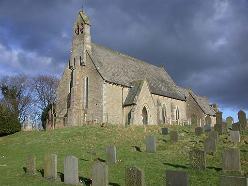
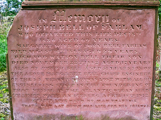
Farlam

Farlam is a village and civil parish in the City of Carlisle District, in the English county of Cumbria. The village is about 2+1⁄4 miles (3.6 km) southeast...

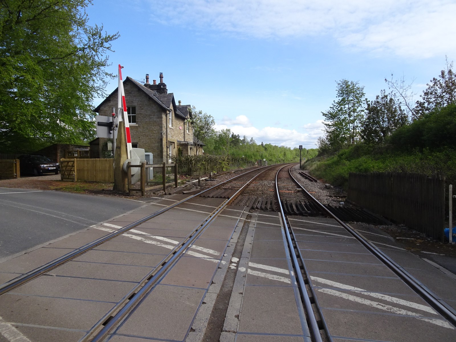
Naworth railway station

Naworth is a former railway station, which served the hamlet of Naworth in Cumbria. The station served the Tyne Valley Line between 1871 and 1952. ��2...

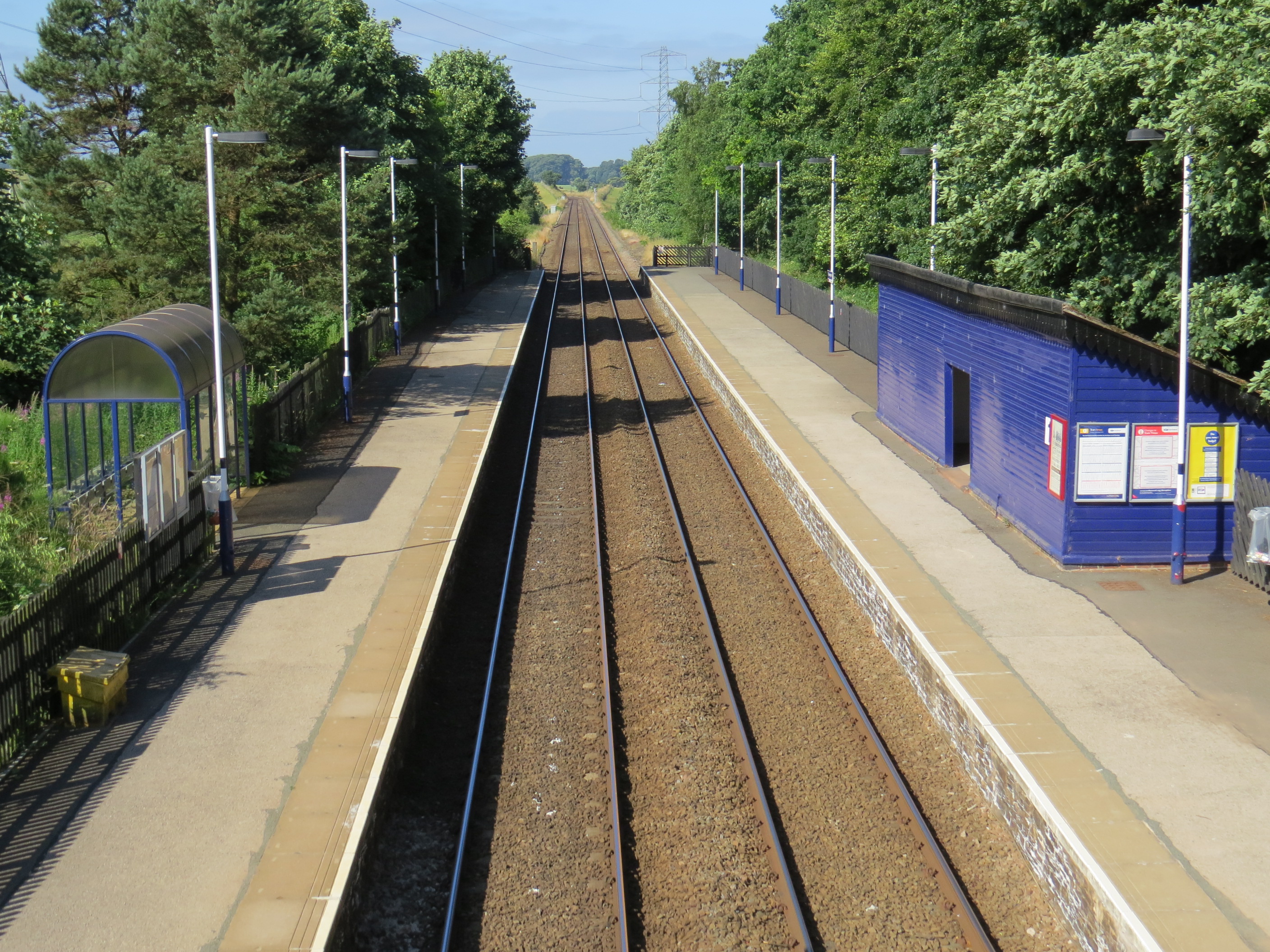
Brampton railway station (Cumbria)

Brampton (Cumbria) is a railway station on the Tyne Valley Line, which runs between Newcastle and Carlisle via Hexham. The station, situated 10 miles 62...

Geltsdale RSPB reserve

Geltsdale RSPB reserve is a nature reserve in Geltsdale, Cumbria, England. The Royal Society for the Protection of Birds manages the site for upland birds...

Midgeholme

Midgeholme is a hamlet and civil parish in City of Carlisle district, Cumbria, England. At the 2001 census the parish had a population of 67.The parish...
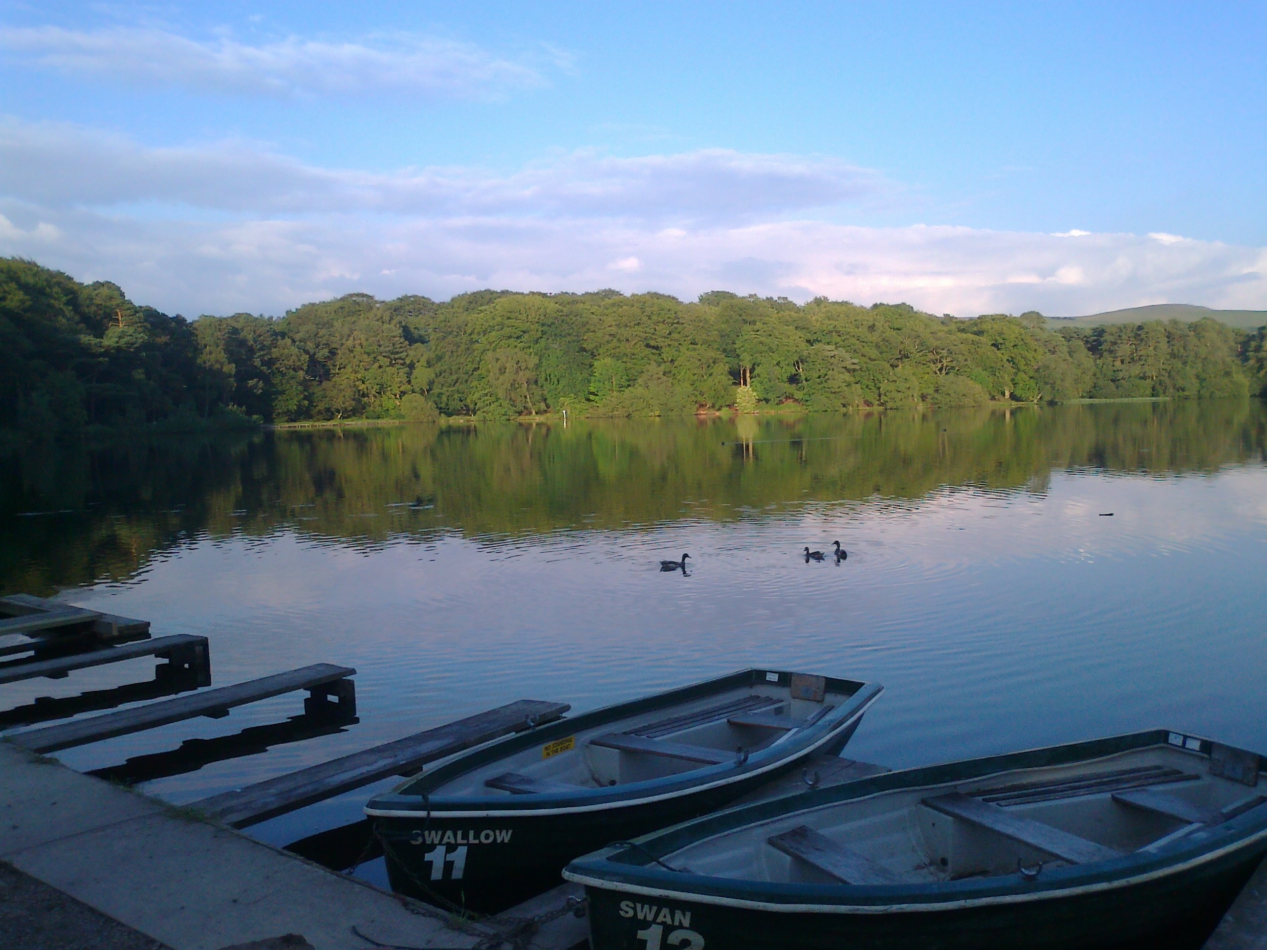
Talkin Tarn

Talkin Tarn is a glacial lake and country park near Brampton, Cumbria, England. The lake is in a kettle hole, formed 10,000 years ago by mass glacial...

Talkin

Talkin is a village in Cumbria, England, close to Talkin Tarn. == Etymology == The name is of Brittonic origin. The Brittonic dialect known as Cumbric...

Nearby Amenities

Located within 500m of 54.926491,-2.6617275
Bus Stop
Belted Well
Bench: no
Covered: yes
Naptan AtcoCode: 090033171849
Naptan Bearing: NW
Naptan CommonName: Belted Well
Naptan Indicator: o/s
Naptan Landmark: Belted Well Inn
Naptan NaptanCode: cumapwdg
Naptan Street: A689
Naptan Verified: no
Shelter: yes
Source: naptan_import
Lat/Long: 54.9293954/-2.6567159
Bus Stop
Belted Well Inn
Bench: no
Covered: no
Naptan AtcoCode: 090033173463
Naptan Bearing: SE
Naptan CommonName: Belted Well Inn
Naptan Indicator: o/s
Naptan Landmark: PO Store
Naptan NaptanCode: cumapwdw
Naptan Street: A689
Naptan Verified: no
Shelter: no
Source: naptan_import
Lat/Long: 54.9295366/-2.6566782
Hallbankgate
Place: village
Wikidata: Q5642804
Lat/Long: 54.9299236/-2.6574535
Post Box
Ref: CA8 174
Lat/Long: 54.9295498/-2.656749
Post Office
Hallbankgate Post Office
Addr City: Brampton
Addr Country: GB
Addr Postcode: CA8 2NJ
Addr Street: Hall Bank Lane
Brand: Post Office
Brand Wikidata: Q1783168
Check Date: 2022-05-27
Check Date Opening Hours: 2022‑05‑27
Contact Website: https://www.postoffice.co.uk/branch-finder/411471x/hallbankgate
Opening Hours: Th 09:30-11:30
Ref Pol Id: 135433
Lat/Long: 54.929747/-2.6564521
Waste Basket
Lat/Long: 54.9293811/-2.6567611
Bench
Lat/Long: 54.9295233/-2.6565888
Generator Method: photovoltaic
Generator Output Electricity: yes
Generator Source: solar
Generator Type: solar_photovoltaic_panel
Location: roof
Power: generator
Lat/Long: 54.9295733/-2.6578291
Community Centre
Hallbankgate Hub
Addr City: Hallbankgate
Addr Postcode: CA8 2NJ
Website: https://hallbankgatehub.org/
Lat/Long: 54.929823/-2.6565862
Cafe
Hallbankgate Hub Cafe
Addr City: Hallbankgate
Addr Postcode: CA8 2NJ
Diet Dairy Free: yes
Diet Gluten Free: yes
Dog: yes
Drinking Water Refill: yes
Wheelchair: yes
Lat/Long: 54.929845/-2.6565222
Hallbankgate Hub Shop
Addr City: Hallbankgate
Addr Postcode: CA8 2NJ
Shop: convenience
Lat/Long: 54.9297988/-2.6565332
Library
Hallbankgate Library
Addr City: Hallbankgate
Addr Postcode: CA8 2NJ
Lat/Long: 54.9297998/-2.6564783
Give Way
Direction: backward
Lat/Long: 54.9295143/-2.6572612
Give Way
Direction: backward
Lat/Long: 54.9296039/-2.6572796
Give Way
Direction: backward
Lat/Long: 54.9294959/-2.6570649
Generator Method: photovoltaic
Generator Output Electricity: yes
Generator Source: solar
Generator Type: solar_photovoltaic_panel
Location: roof
Power: generator
Lat/Long: 54.928828/-2.6562948
Generator Method: photovoltaic
Generator Output Electricity: yes
Generator Source: solar
Generator Type: solar_photovoltaic_panel
Location: roof
Power: generator
Lat/Long: 54.9277743/-2.6546562
Generator Method: photovoltaic
Generator Output Electricity: yes
Generator Source: solar
Generator Type: solar_photovoltaic_panel
Location: roof
Power: generator
Lat/Long: 54.9277922/-2.6546961
Generator Method: photovoltaic
Generator Output Electricity: yes
Generator Source: solar
Generator Type: solar_photovoltaic_panel
Location: roof
Power: generator
Lat/Long: 54.9289185/-2.6581879
Man Made: street_cabinet
Lat/Long: 54.9300883/-2.6583165
Man Made: street_cabinet
Lat/Long: 54.9300641/-2.6582227
Man Made: tower
Tower Type: communication
Lat/Long: 54.9301286/-2.6581629
Defibrillator
Defibrillator Location: On outside corner of school building, near entrance gate
Emergency: defibrillator
Indoor: no
Ref GB The Circuit: 17A49BA1-5271-40A8-8240-AF1700CFEA32
Lat/Long: 54.9297717/-2.6573834
Entrance: main
Lat/Long: 54.9298148/-2.6574757
Power: pole
Lat/Long: 54.9265724/-2.6674212
The data included in this document is from www.openstreetmap.org. The data is made available under ODbL.

Have you been to Blind Tarn?

Leave your review of Blind Tarn below (or comments, questions and feedback).