Plague Hole
Lake, Pool, Pond, Freshwater Marsh in Cheshire
England
Plague Hole
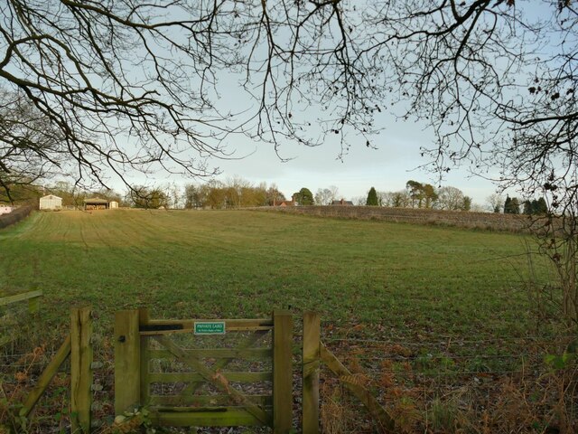
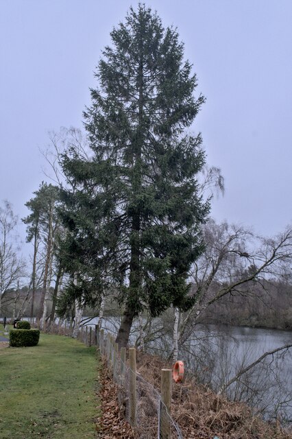
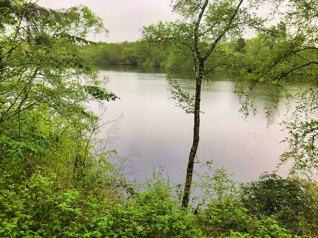
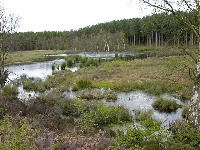
Plague Hole is a freshwater marsh located in Cheshire, England. Situated near the village of Plague Hole, it is known for its unique ecological characteristics and historical significance. Covering an area of approximately 10 acres, the site comprises a combination of lake, pool, pond, and marshland habitats, making it a diverse and important ecosystem.
The main feature of Plague Hole is its shallow lake, which spans across a significant portion of the marsh. Known for its calm, still waters, the lake provides a habitat for various aquatic plants and animals. The surrounding pool and pond areas are smaller in size but equally rich in biodiversity, supporting a range of species including frogs, newts, and dragonflies.
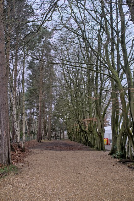
The freshwater marsh at Plague Hole is home to a wide array of plant life, including reeds, rushes, and sedges. These plants thrive in the waterlogged soil and provide shelter and food for numerous bird species, such as waterfowl and herons. The marsh is also a popular breeding ground for wetland birds, attracting birdwatchers and nature enthusiasts alike.
In addition to its ecological importance, Plague Hole holds historical significance. The name itself refers to a time in the past when the area was associated with the bubonic plague. However, there is no evidence to suggest that the site was directly affected by the disease. Nonetheless, the name serves as a reminder of the region's history.
Plague Hole in Cheshire is a remarkable freshwater marsh that combines natural beauty, diverse habitats, and historical intrigue. It offers a peaceful and serene environment for both wildlife and visitors to enjoy and appreciate the wonders of nature.
If you have any feedback on the listing, please let us know in the comments section below.
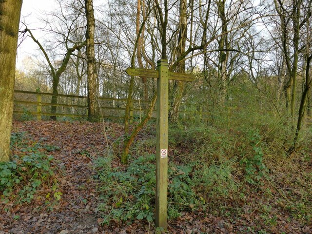
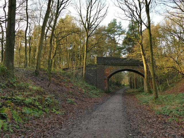
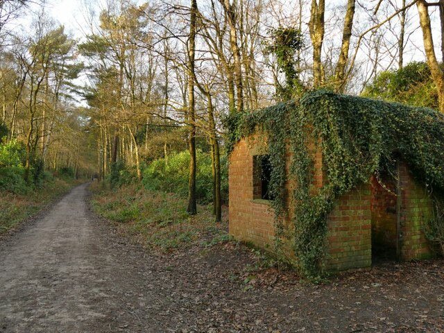
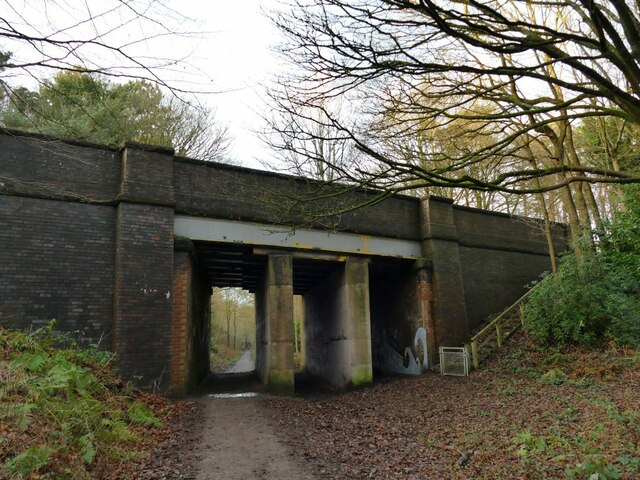
Plague Hole Images
Images are sourced within 2km of 53.2257/-2.6352366 or Grid Reference SJ5770. Thanks to Geograph Open Source API. All images are credited.


Plague Hole is located at Grid Ref: SJ5770 (Lat: 53.2257, Lng: -2.6352366)
Unitary Authority: Cheshire West and Chester
Police Authority: Cheshire
What 3 Words
///cheered.sleepless.wakes. Near Oakmere, Cheshire
Nearby Locations
Related Wikis
Oakmere
Oakmere is a village and former civil parish, now in the parish of Delamere and Oakmere, in the Cheshire West and Chester district, in the county of Cheshire...

Oakmere Hall
Oakmere Hall is a large house to the southwest of the villages of Cuddington and Sandiway, Cheshire, England, near the junction of the A49 and A556 roads...
Delamere, Cheshire
Delamere is a village and former civil parish, now in the parish of Delamere and Oakmere, within the unitary authority area of Cheshire West and Chester...
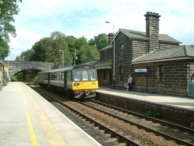
Delamere railway station
Delamere railway station opened on 22 June 1870. It serves both the village of Delamere and Delamere Forest in Cheshire, England. The station is 9½ miles...
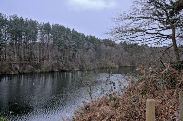
Abbotts Moss Nature Reserve
Abbotts Moss is a 12-hectare (30-acre) nature reserve near Delamere Forest, northwest of Winsford, Cheshire. It is managed by the Cheshire Wildlife Trust...

Bluecap Memorial
The Bluecap Memorial stands in the yard of the Cheshire Hunt Kennels in Kennel Lane, Sandiway, Cheshire, England. Bluecap was a Cheshire foxhound that...
Oakmere hill fort
Oakmere hill fort is an Iron Age hill fort, one of many large fortified settlements constructed across Britain during the Iron Age, but one of only seven...
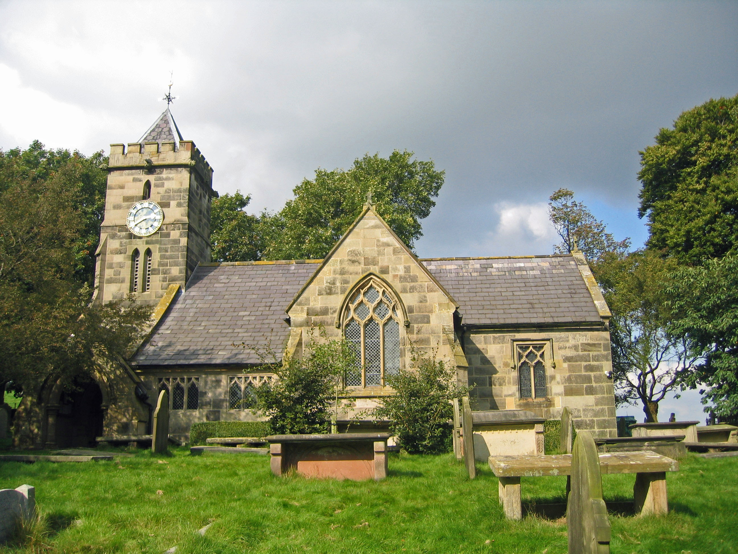
St Peter's Church, Delamere
St Peter's Church stands in an isolated position to the south of the village of Delamere, Cheshire, England. The church is recorded in the National Heritage...
Related Videos

Hiking Cheshire's Sandstone Trail
34 mile hike from Frodsham to Whitchurch, The Sandstone Trail is Cheshire's backbone and follows the geology around the ...


Macclesfield canal and Bosley minn..Walking in Cheshire.
Connecting the Trent and Mersey to the Peak forest, the Macclesfield canal runs 26 miles along Cheshire's eastern hilly fringe.
Nearby Amenities
Located within 500m of 53.2257,-2.6352366Have you been to Plague Hole?
Leave your review of Plague Hole below (or comments, questions and feedback).