Norbury Meres
Lake, Pool, Pond, Freshwater Marsh in Cheshire
England
Norbury Meres
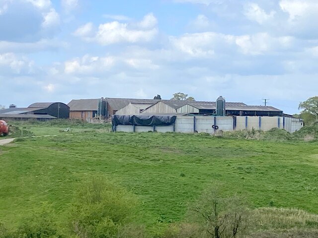
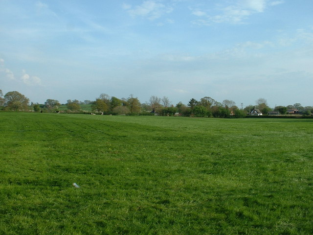
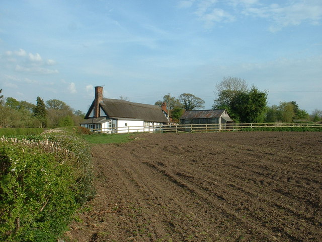
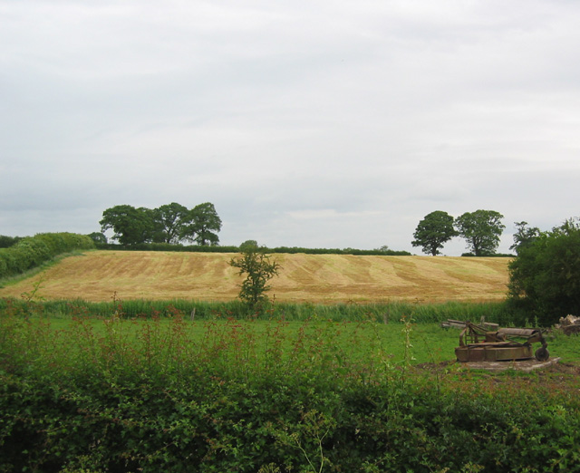
Norbury Meres is a picturesque freshwater ecosystem located in the county of Cheshire, England. It is predominantly known for its serene lakes, pools, ponds, and freshwater marshes. The site is spread over a vast area, offering visitors a tranquil and natural environment to explore.
The main attraction of Norbury Meres is its two interconnected lakes, which provide a habitat for a diverse range of aquatic flora and fauna. These lakes are fed by a series of underground springs, ensuring a constant flow of freshwater. The crystal-clear waters of the lakes are teeming with various fish species, including pike, perch, and roach, making it a popular spot for anglers.
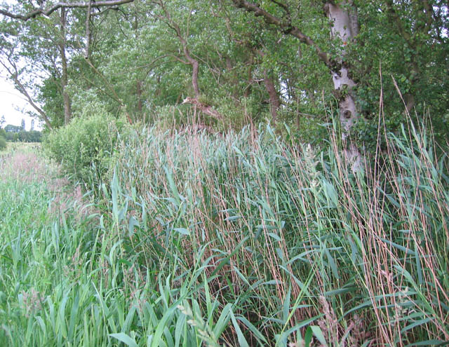
Surrounding the lakes are smaller pools and ponds, each with its unique characteristics. These smaller water bodies are home to a plethora of aquatic plants, such as water lilies and reeds, providing a lush and vibrant habitat for birds, insects, and amphibians.
The freshwater marshes at Norbury Meres are a notable feature, providing a valuable habitat for numerous bird species. The marshes are characterized by their dense vegetation, including sedges, rushes, and grasses. This habitat attracts a wide range of birdlife, including ducks, herons, and warblers, making it a popular destination for birdwatchers.
Norbury Meres is a haven for nature enthusiasts and offers several walking trails and viewpoints for visitors to explore its natural beauty. The site also boasts facilities such as picnic areas and bird hides, allowing visitors to immerse themselves in the peaceful surroundings.
In conclusion, Norbury Meres in Cheshire is a captivating freshwater ecosystem, with its interconnected lakes, pools, ponds, and freshwater marshes providing a haven for a diverse range of flora and fauna. It is an ideal destination for those seeking a tranquil retreat and an opportunity to appreciate the wonders of nature.
If you have any feedback on the listing, please let us know in the comments section below.
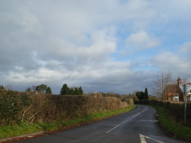
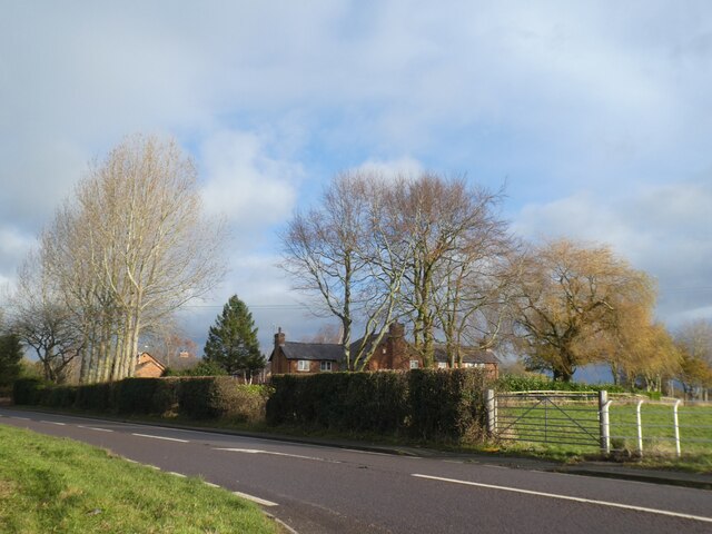
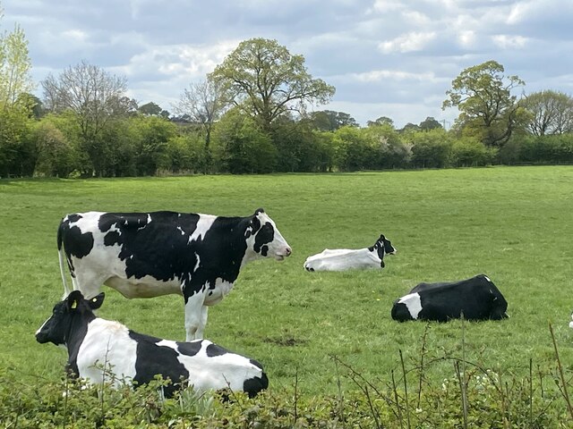
Norbury Meres Images
Images are sourced within 2km of 53.039303/-2.6596362 or Grid Reference SJ5549. Thanks to Geograph Open Source API. All images are credited.


Norbury Meres is located at Grid Ref: SJ5549 (Lat: 53.039303, Lng: -2.6596362)
Unitary Authority: Cheshire East
Police Authority: Cheshire
What 3 Words
///digests.comedians.uplifting. Near Bickley, Cheshire
Nearby Locations
Related Wikis

Norbury, Cheshire
Norbury is a hamlet and former civil parish, now in the parish of Marbury and District, in the Cheshire East district, in the ceremonial county of Cheshire...

St Wenefrede's Church, Bickley
St Wenefrede's Church is in Bickley, Cheshire, England. The church is recorded in the National Heritage List for England as a designated Grade II listed...

Chorley, Cholmondeley
Chorley is a hamlet (at SJ574511) and civil parish in the unitary authority of Cheshire East and the ceremonial county of Cheshire, England. The hamlet...
St Nicholas Chapel, Cholmondeley
St Nicholas Chapel is a private chapel in the grounds of Cholmondeley Castle, Cheshire, England, the ancient seat of the Marquess of Cholmondeley, hereditary...

Bickley, Cheshire
Bickley is a village in the parish of No Man's Heath and District in Cheshire West and Chester and Cheshire, England. According to the 2001 Census it had...

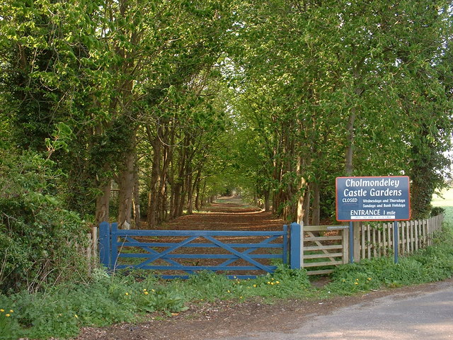
Cholmondeley, Cheshire
Cholmondeley ( CHUM-lee) is a civil parish in Cheshire, England, north east of Malpas and west of Nantwich. It includes the small settlements of Croxton...
Cholmondeley Castle
Cholmondeley Castle is a country house in the civil parish of Cholmondeley, Cheshire, England. Together with its adjacent formal gardens, it is surrounded...

Marbury, Cheshire
Marbury is a small village located at SJ560457 in the civil parish of Marbury and District, formerly Marbury cum Quoisley, within the unitary authority...
Related Videos

Family Fun Day at Bewilderwood Cheshire
We had a perfect Father's Day at @bewilderwood_cheshire It was such a fun family day out with lots of different mazes, slides, ...


Nearby Amenities
Located within 500m of 53.039303,-2.6596362Have you been to Norbury Meres?
Leave your review of Norbury Meres below (or comments, questions and feedback).