Bar Mere

Lake, Pool, Pond, Freshwater Marsh in Cheshire

England

Bar Mere

Lay-by by A41 south of No Man's Heath A protected lay-by by the northbound lane.  This is part of a major realignment of the road
Lay-by by A41 south of No Man's Heath Credit: David Smith

Bar Mere is a picturesque freshwater lake located in the county of Cheshire, England. Covering an area of approximately 75 acres, it is a popular destination for nature enthusiasts and those seeking a tranquil escape. The lake is situated near the village of Mere and is surrounded by lush greenery, adding to its natural beauty.

Bar Mere offers a variety of recreational activities for visitors to enjoy. Fishing enthusiasts can cast their lines into the calm waters, as the lake is well-known for its thriving population of freshwater fish, including pike, perch, and roach. Anglers are required to obtain the appropriate permits before fishing in the lake.

The lake is also a haven for birdwatchers, as it attracts a diverse range of bird species throughout the year. Visitors can spot various waterfowl, including swans, ducks, and coots, gliding gracefully across the surface of the water. The surrounding marshland provides a suitable habitat for many species of birds, making it an ideal spot for birdwatching enthusiasts.

Additionally, Bar Mere offers scenic walking trails that allow visitors to explore the surrounding area and take in the breathtaking views. The tranquil atmosphere of the lake and its peaceful surroundings make it an ideal place for relaxation and contemplation.

Overall, Bar Mere in Cheshire is a beautiful freshwater lake that offers a range of recreational activities, including fishing, birdwatching, and hiking. Whether visitors are seeking a peaceful retreat or an opportunity to connect with nature, Bar Mere provides a serene and idyllic setting to indulge in these pursuits.

If you have any feedback on the listing, please let us know in the comments section below.
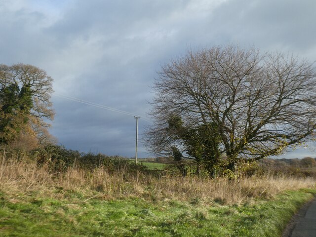
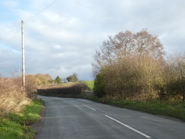
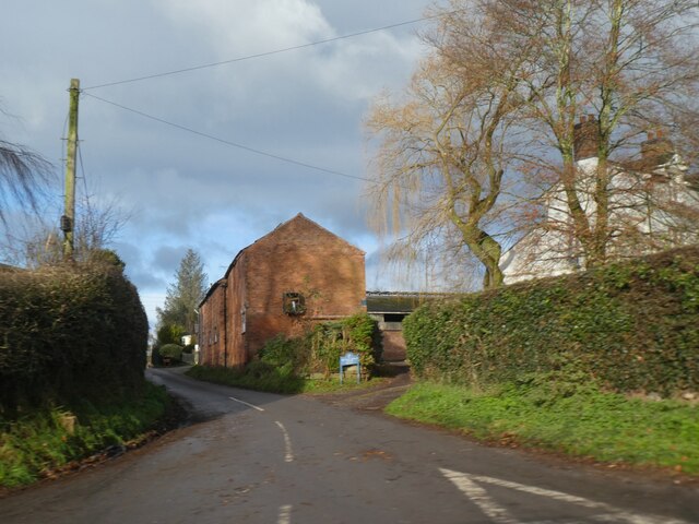
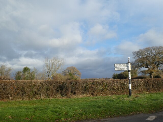
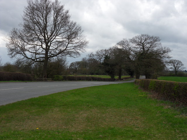
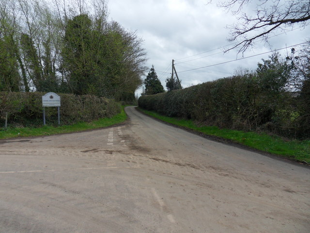
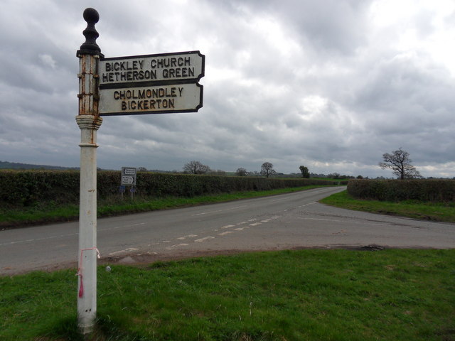
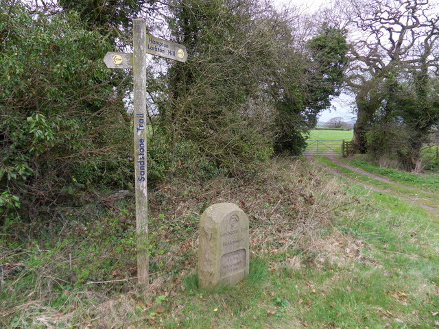
Bar Mere Images

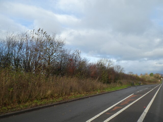
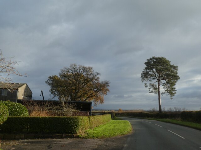
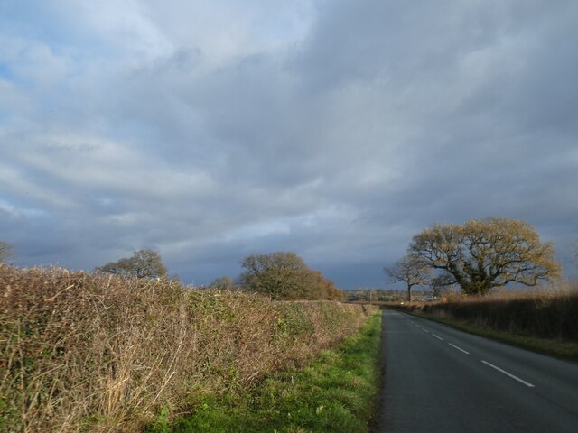
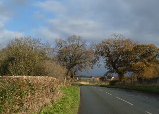
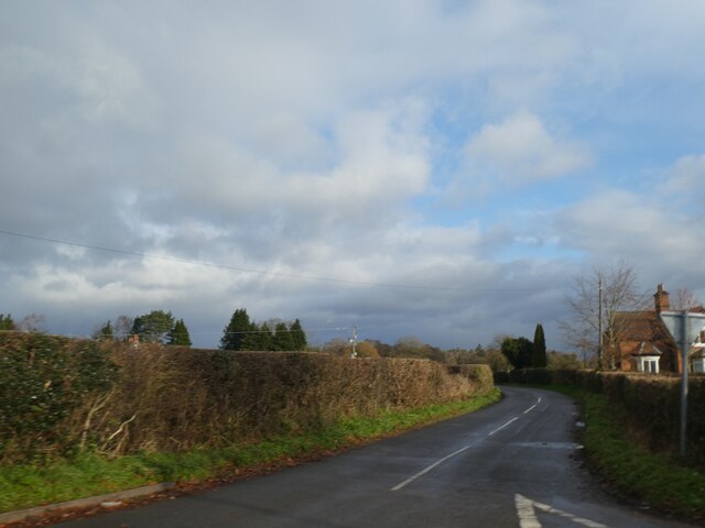
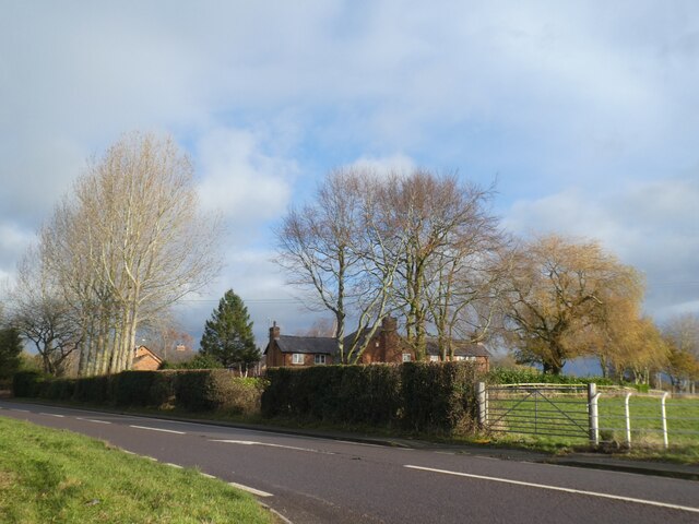
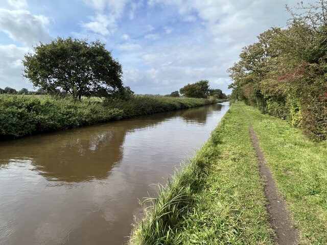
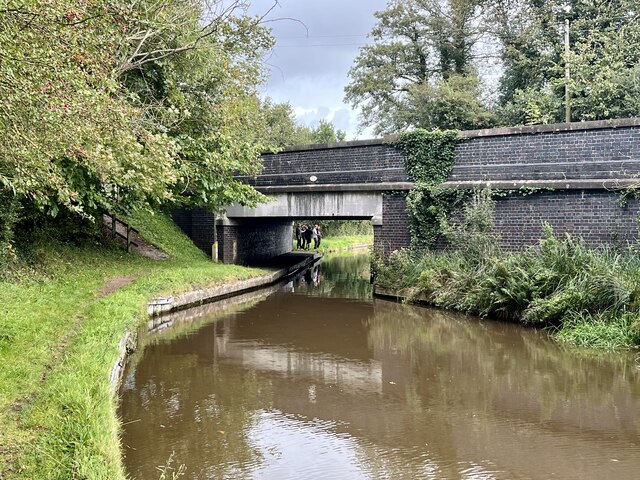
Images are sourced within 2km of 53.025895/-2.6922326 or Grid Reference SJ5347. Thanks to Geograph Open Source API. All images are credited.

Lay-by by A41 south of No Man's Heath A protected lay-by by the northbound lane.  This is part of a major realignment of the road
Lay-by by A41 south of No Man's Heath
A protected lay-by by the northbound lane. This is part of a major realignment of the road
Lone tree by the road in Bickleywood
Neat hedge by Bickley Lane
Where the Sandstone Trail crosses Bickley Lane The Sandstone Trail follows the road for a short distance and then leaves by the trees on the left, on the bend
Where the Sandstone Trail crosses Bickley Lane
The Sandstone Trail follows the road for a short distance and then leaves by the trees on the left, on the bend
Wide verge by road near Bickley Hall This verge is marked on the OS 1992-1914 map;
Wide verge by road near Bickley Hall
This verge is marked on the OS 1992-1914 map;
Bickley Town Bridge The bridge parapet on the right marks the crossing of Bickley Brook
Bickley Town Bridge
The bridge parapet on the right marks the crossing of Bickley Brook
Bank Farm, Bickley Town
Road to Bickley Moss
Yew Tree Farm by A49 The A49 is a major road, which traverses the Welsh Marches region. It runs north from Ross-on-Wye in Herefordshire via Hereford, Leominster, Ludlow, Shrewsbury and Whitchurch, then continues to Warrington and Wigan before terminating at its junction with the A6 road just south of Bamber Bridge, near the junction of the M6, M65 and M61 motorways.
Yew Tree Farm by A49
The A49 is a major road, which traverses the Welsh Marches region. It runs north from Ross-on-Wye in Herefordshire via Hereford, Leominster, Ludlow, Shrewsbury and Whitchurch, then continues to Warrington and Wigan before terminating at its junction with the A6 road just south of Bamber Bridge, near the junction of the M6, M65 and M61 motorways.
Llangollen canal North-west of Marbury.
Llangollen canal
North-west of Marbury.
Quoisley Canal Bridge Carrying the busy A41 over the Llangollen Canal.
Quoisley Canal Bridge
Carrying the busy A41 over the Llangollen Canal.
A Forty Nine The A49 near Swanick Green, leading to Whitchurch.
A Forty Nine
The A49 near Swanick Green, leading to Whitchurch.
Borough Boundary Junction of Snab Lane and Common Lane at the Crewe and Nantwich Borough boundary, near Higher Snab.
Borough Boundary
Junction of Snab Lane and Common Lane at the Crewe and Nantwich Borough boundary, near Higher Snab.
The Sign Junction along country road to Malpas leading to Bickley Church.
The Sign
Junction along country road to Malpas leading to Bickley Church.
Sandstone Trail Sandstone trail makes it way towards Hampton and Larkton Hill via stile beside gated field, near Bickley Town.
Sandstone Trail
Sandstone trail makes it way towards Hampton and Larkton Hill via stile beside gated field, near Bickley Town.
Filling station on A49
Road closure of A49 at Bickley Smithy crossroads
Show me another place!

Bar Mere is located at Grid Ref: SJ5347 (Lat: 53.025895, Lng: -2.6922326)

Unitary Authority: Cheshire West and Chester

Police Authority: Cheshire

What 3 Words

///perch.together.atoms. Near Bickley, Cheshire

Nearby Locations

Bar Mere

Related Wikis

Bickley, Cheshire

Bickley is a village in the parish of No Man's Heath and District in Cheshire West and Chester and Cheshire, England. According to the 2001 Census it had...

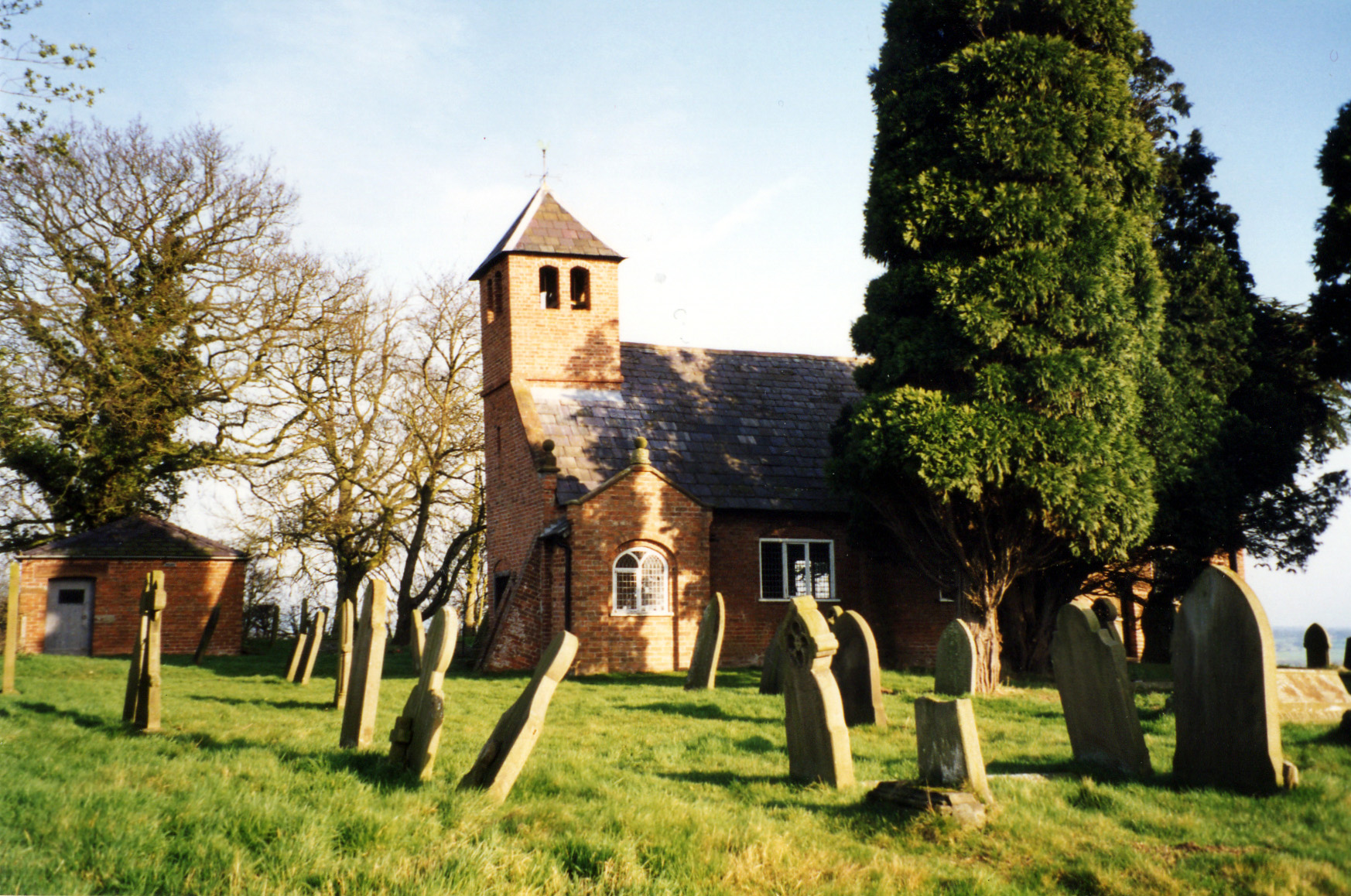
St Wenefrede's Church, Bickley

St Wenefrede's Church is in Bickley, Cheshire, England. The church is recorded in the National Heritage List for England as a designated Grade II listed...

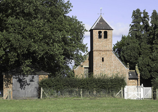
St Chad's Chapel, Tushingham

St Chad's Chapel (often referred to as Old St Chad's) is an isolated church in the scattered community of Tushingham in the civil parish of Tushingham...

Tushingham cum Grindley

Tushingham cum Grindley is a former civil parish, now in the parish of Tushingham-cum-Grindley, Macefen and Bradley, in the unitary authority of Cheshire...

Nearby Amenities

Located within 500m of 53.025895,-2.6922326
The data included in this document is from www.openstreetmap.org. The data is made available under ODbL.

Have you been to Bar Mere?

Leave your review of Bar Mere below (or comments, questions and feedback).