Cleddon Shoots
Lake, Pool, Pond, Freshwater Marsh in Monmouthshire
Wales
Cleddon Shoots
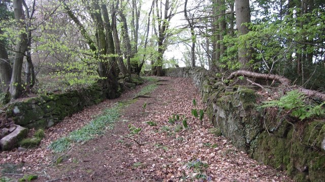
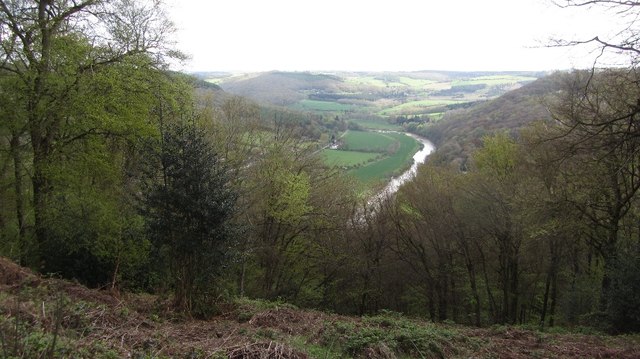
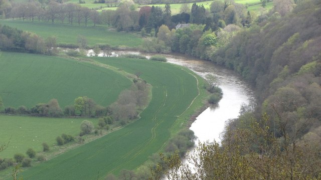
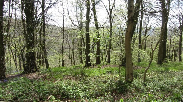
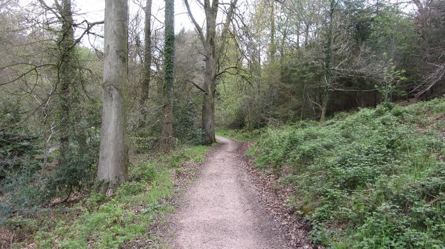
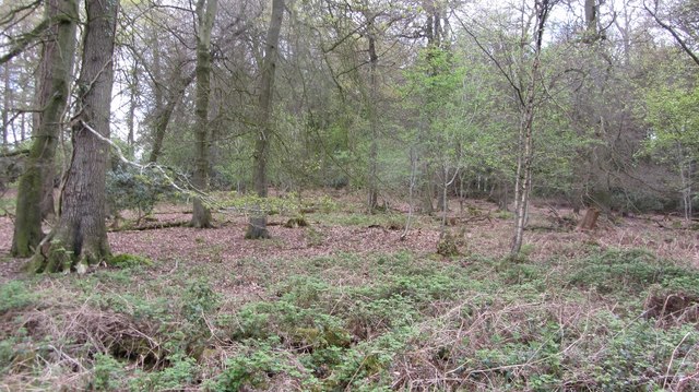
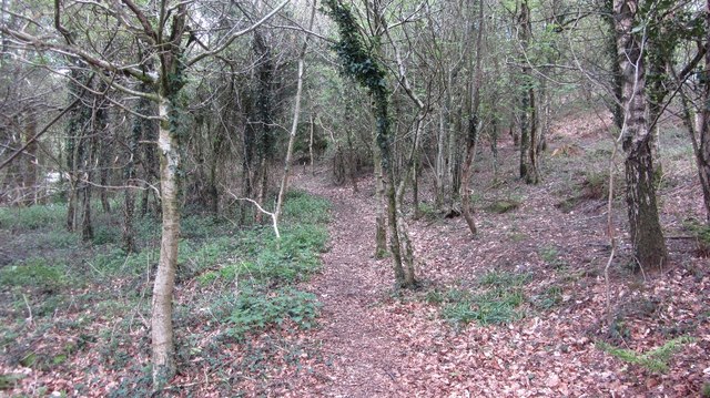
Cleddon Shoots is a picturesque freshwater ecosystem located in Monmouthshire, Wales. Nestled within the stunning Wye Valley, this natural gem encompasses a diverse range of habitats, including a lake, pool, pond, and freshwater marsh, making it a haven for a variety of wildlife.
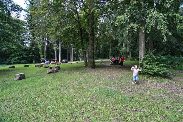
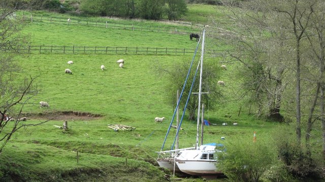
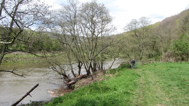
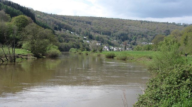
The lake at Cleddon Shoots is a tranquil expanse of water, bordered by lush vegetation and towering trees. It provides a serene environment for numerous species of waterfowl, such as ducks, geese, and swans, which can often be observed gracefully gliding across the surface.
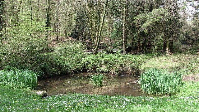
Adjacent to the lake is a smaller pool, which serves as a breeding ground for amphibians like frogs and toads. Surrounded by reeds and water plants, this area offers a rich habitat for these creatures, as well as attracting insects and other invertebrates that form a crucial part of the food chain.
Further into the site, a peaceful pond can be found, teeming with life. This body of water provides a home to a diverse array of aquatic plants, fish, and invertebrates. It is a popular spot for visitors to enjoy the tranquility of the surroundings and observe the delicate balance of this fragile ecosystem.
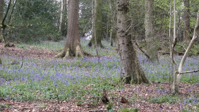
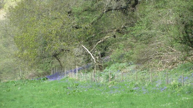
Lastly, Cleddon Shoots boasts a sprawling freshwater marsh, characterized by its waterlogged soil and unique vegetation. This marshland supports a wide range of plant species, such as sedges and rushes, which provide nesting sites for waterbirds and shelter for smaller animals.
Overall, Cleddon Shoots in Monmouthshire is a haven for nature enthusiasts, offering a rich tapestry of habitats and a wealth of biodiversity. It is a place where one can immerse themselves in the beauty of the natural world and witness the interconnectedness of various species within this enchanting landscape.
If you have any feedback on the listing, please let us know in the comments section below.
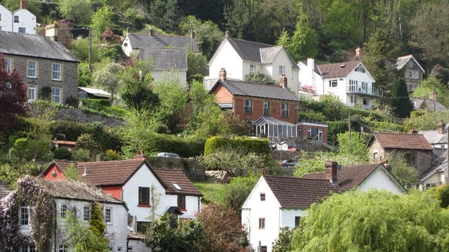
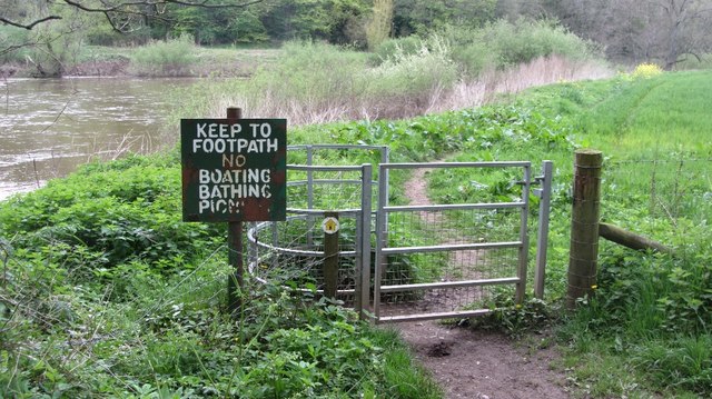
Cleddon Shoots Images
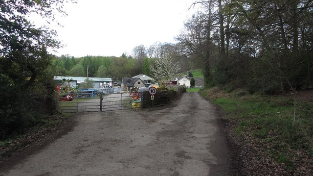
Images are sourced within 2km of 51.732495/-2.6944583 or Grid Reference SO5203. Thanks to Geograph Open Source API. All images are credited.
Cleddon Shoots is located at Grid Ref: SO5203 (Lat: 51.732495, Lng: -2.6944583)
Unitary Authority: Monmouthshire
Police Authority: Gwent
What 3 Words
///beast.blissful.votes. Near Tintern, Monmouthshire
Nearby Locations
Related Wikis

Cleddon Hall
Cleddon Hall, formerly known as Ravenscroft, is a 19th-century Victorian country house in Trellech, Monmouthshire, Wales. In the later 19th century it...

Llandogo
Llandogo (Welsh: Llaneuddogwy) is a small village in Monmouthshire, south Wales, between Monmouth and Chepstow in the lower reaches of the Wye Valley AONB...

Llandogo Halt railway station
Llandogo Halt was a request stop on the former Wye Valley Railway. It was opened on 9 March 1927 to serve the village of Llandogo. It was closed in 1959...

Church of St Oudoceus, Llandogo
The Church of St Oudoceus, Llandogo, Monmouthshire is a parish church built in 1859–1861. The church is dedicated to St Oudoceus (Euddogwy), an early Bishop...

Cleddon Bog
Cleddon Bog (grid reference SO509039) is a bog in the vice-county of Monmouthshire which has been notified as a biological Site of Special Scientific Interest...

The Hudnalls
The Hudnalls (SO533030 & SO540042 & SO545046 ) is a 94.4-hectare (233-acre) biological Site of Special Scientific Interest in Gloucestershire, notified...

Trellech United
Trellech United is a community and electoral ward in the county of Monmouthshire, Wales. It lies south of the county town of Monmouth next to the Wales...

Catbrook
Catbrook (Welsh: Catffrwd) is a village in Monmouthshire, south east Wales, United Kingdom. The population in 2011 was 412. == Location == Catbrook is...
Related Videos
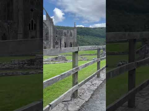
Tintern Abbey #travel #wyevalley #hiking #forest #adventure
Tintern abbey.

The Ruins of Tintern Abbey
Come walk with us through the ruins of Tintern Abbey, where flowers carpet the grounds of what was once a grand building.

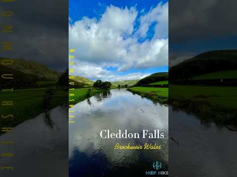
Boardgames team on a walk.
Sunday relaxing hike. Tintern, 14/01/24.
Nearby Amenities
Located within 500m of 51.732495,-2.6944583Have you been to Cleddon Shoots?
Leave your review of Cleddon Shoots below (or comments, questions and feedback).