Catterall Basin
Lake, Pool, Pond, Freshwater Marsh in Lancashire Wyre
England
Catterall Basin

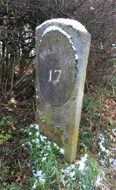
Catterall Basin is a small freshwater marsh located in Lancashire, England. This basin is situated in the picturesque village of Catterall, near the River Wyre and the city of Preston. Covering an area of approximately 2 acres, it forms a tranquil and natural habitat for a diverse range of flora and fauna.
The basin is primarily fed by rainwater and runoff from the surrounding fields, making it an important source of freshwater in the area. It is characterized by its calm and still waters, creating an ideal environment for various aquatic plants and wildlife.
The marsh supports a rich and varied ecosystem with an abundance of plant and animal life. The surrounding vegetation includes reeds, rushes, and sedges, providing shelter and food for numerous species of insects, birds, and small mammals. Visitors to the basin can observe a variety of bird species, such as mallards, coots, moorhens, and occasionally even herons.
Catterall Basin serves as a valuable breeding ground for many water-dwelling creatures. Frogs, toads, and newts can be found in abundance, as well as a variety of fish species, such as roach and perch. These species not only contribute to the biodiversity of the basin but also attract predators like kingfishers and otters.
The basin is a popular spot for nature enthusiasts, birdwatchers, and photographers who appreciate the tranquility and natural beauty it offers. It provides a peaceful escape from the hustle and bustle of nearby urban areas and serves as a reminder of the importance of preserving and protecting our freshwater ecosystems.
If you have any feedback on the listing, please let us know in the comments section below.
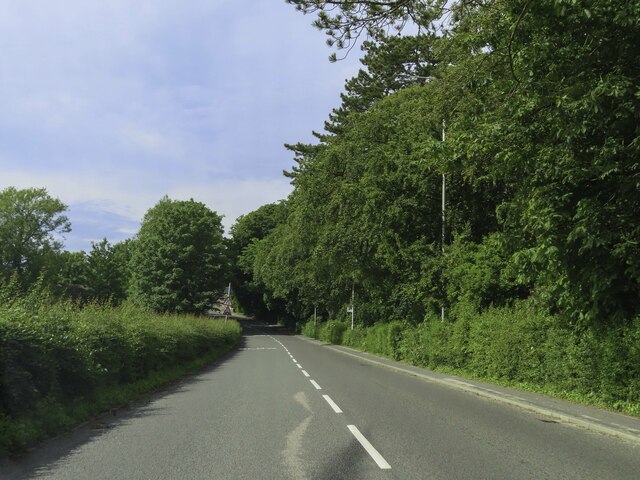
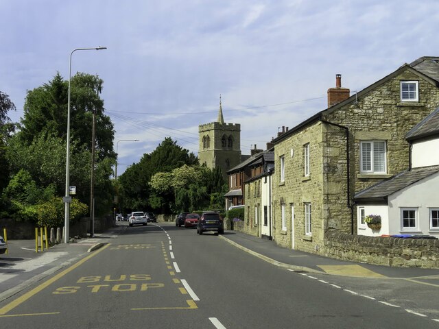
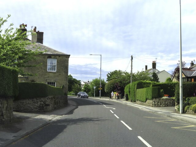
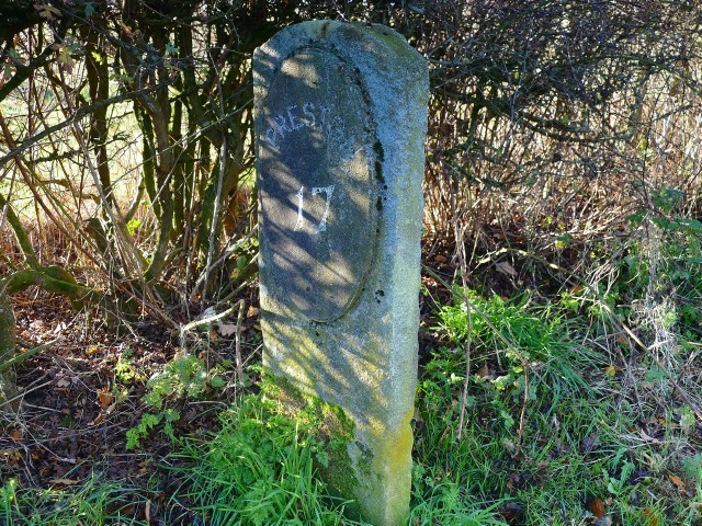
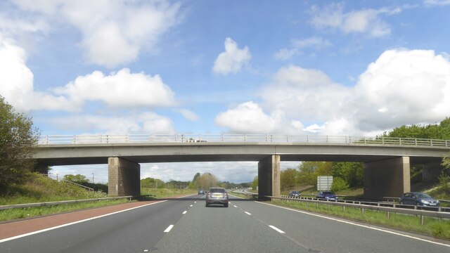
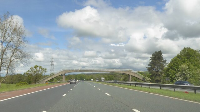
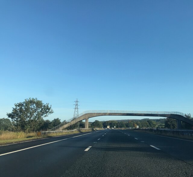
Catterall Basin Images
Images are sourced within 2km of 53.885582/-2.7515776 or Grid Reference SD5043. Thanks to Geograph Open Source API. All images are credited.


Catterall Basin is located at Grid Ref: SD5043 (Lat: 53.885582, Lng: -2.7515776)
Administrative County: Lancashire
District: Wyre
Police Authority: Lancashire
What 3 Words
///renting.action.challenge. Near Catterall, Lancashire
Nearby Locations
Related Wikis

Garstang and Catterall railway station
Garstang and Catterall railway station served as the interchange between the Garstang and Knot-End Railway and the London and North Western Railway, in...

Catterall
Catterall is a village and civil parish in the borough of Wyre, Lancashire, England. Historically in the Amounderness Hundred, it is situated on the A6...

Garstang Community Academy
Garstang Community Academy (formerly Garstang High School) is a secondary school with academy status in the parish of Barnacre-with-Bonds near Garstang...

Bowgreave
Bowgreave is a village in the parish of Barnacre-with-Bonds, Lancashire, England. Its nearest town is Garstang, a mile to the north. Garstang Community...
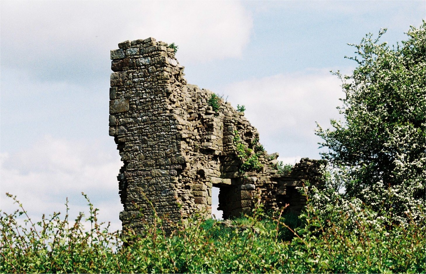
Greenhalgh Castle
Greenhalgh Castle is a castle, now ruined, near the town of Garstang in Lancashire, England. Thomas Stanley, 1st Earl of Derby, had the castle built in...

Bonds, Lancashire
Bonds is a village in Lancashire, England. It lies immediately south of Garstang town centre, on the opposite bank of the River Wyre. It is bounded by...
Church of St Mary and St Michael, Bonds
The Church of St Mary and St Michael is in the village of Bonds, to the south of Garstang, Lancashire, England. It is an active Roman Catholic church in...

Garstang
Garstang is an ancient market town and civil parish within the Wyre borough of Lancashire, England. It is 10 miles (16 km) north of the city of Preston...
Nearby Amenities
Located within 500m of 53.885582,-2.7515776Have you been to Catterall Basin?
Leave your review of Catterall Basin below (or comments, questions and feedback).