Asby, Great
Settlement in Westmorland Eden
England
Asby, Great
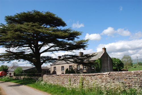
Asby, Great is a small village located in the county of Westmorland, which is part of the historic county of Cumbria in northwest England. Situated in the Eden Valley, Asby, Great is surrounded by picturesque countryside and offers a tranquil and idyllic setting.
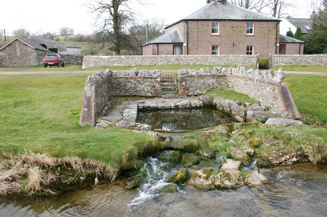
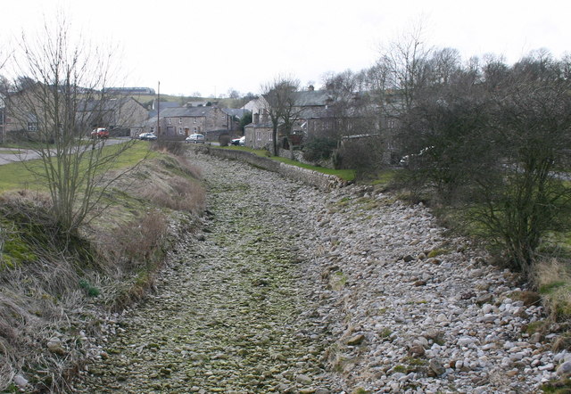
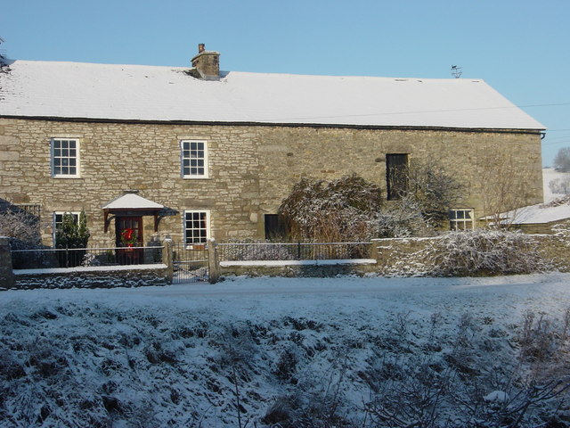
The village is known for its charming and well-preserved traditional stone houses, many of which date back several centuries. The architecture reflects the rural character of the area, and the village has managed to retain much of its historic charm throughout the years.
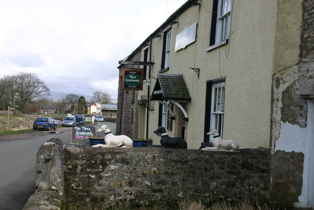
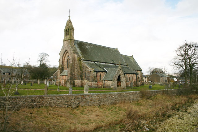
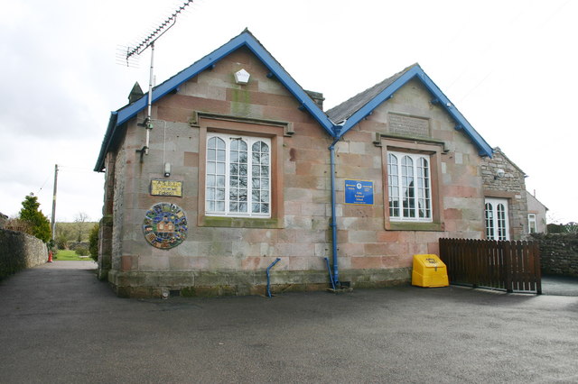
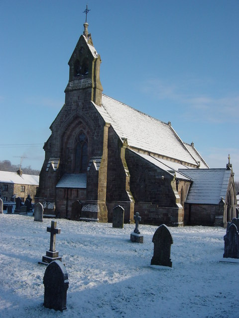
Although small in size, Asby, Great has a strong sense of community and boasts a friendly and welcoming atmosphere. The village is home to a church, a primary school, and a pub, which serves as a social hub for both locals and visitors alike.
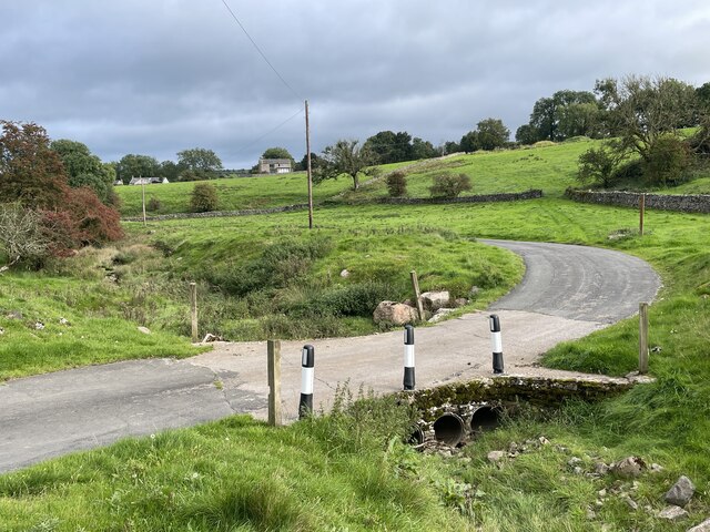
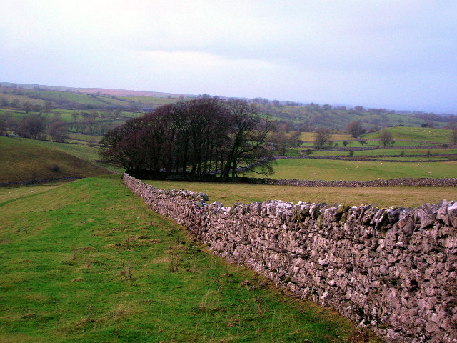
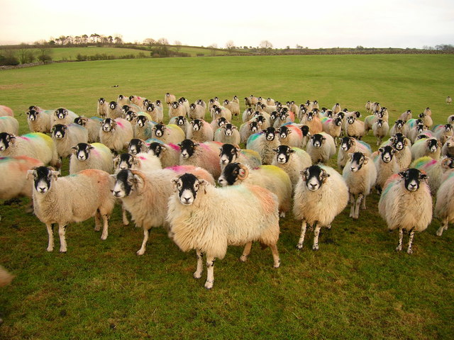
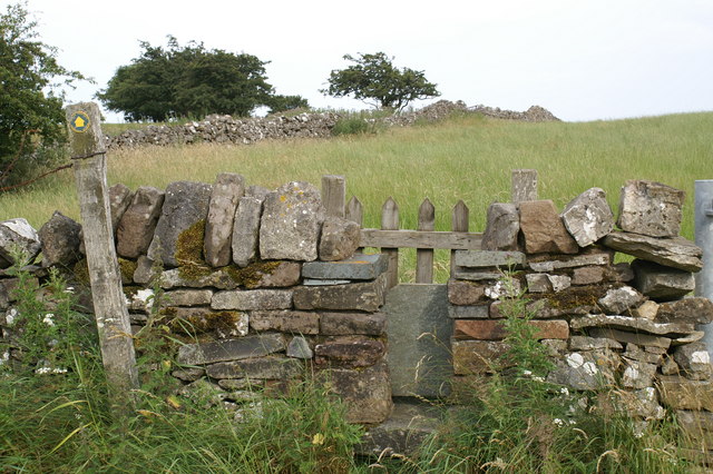
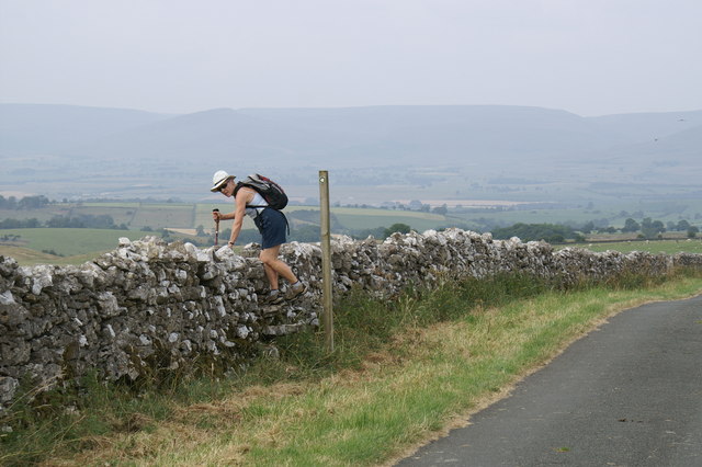
The surrounding countryside provides ample opportunities for outdoor activities such as hiking, cycling, and horseback riding. Asby, Great is also a popular destination for nature lovers, with its proximity to the North Pennines Area of Outstanding Natural Beauty and the Yorkshire Dales National Park.
Due to its rural location, the village is not heavily commercialized, and amenities such as shops and supermarkets are limited. However, the nearby town of Appleby-in-Westmorland, located just a few miles away, offers a wider range of services and amenities.
Overall, Asby, Great is a charming and peaceful village that offers a serene escape from the hustle and bustle of city life. Its beautiful countryside and strong community spirit make it an appealing destination for those seeking a slower pace of life in a stunning rural setting.
If you have any feedback on the listing, please let us know in the comments section below.
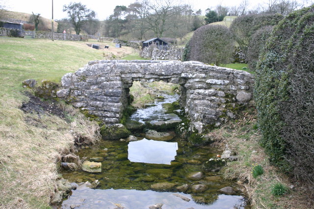
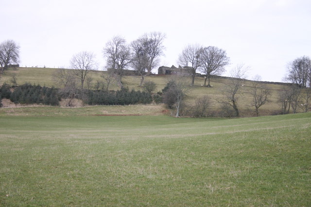
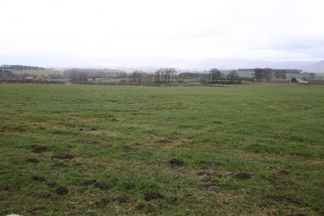
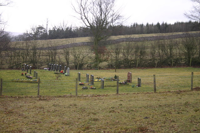
Asby, Great Images
Images are sourced within 2km of 54.511767/-2.491909 or Grid Reference NY6813. Thanks to Geograph Open Source API. All images are credited.


Asby, Great is located at Grid Ref: NY6813 (Lat: 54.511767, Lng: -2.491909)
Administrative County: Cumbria
District: Eden
Police Authority: Cumbria
What 3 Words
///grumbles.maps.lizards. Near Appleby-in-Westmorland, Cumbria
Nearby Locations
Related Wikis

Great Asby
Great Asby is a village in Cumbria, England. Historically part of Westmorland, it is located approximately 15 miles (24 km) south east of Penrith and approximately...

Pate Hole
Pate Hole is a solutional cave located adjacent to Asby Gill 1 kilometre (0.62 mi) south of Great Asby in Cumbria, England. It is 970 metres (3,180 ft...

Asby, Eden
Asby is a civil parish in the Eden district of Cumbria, England. Historically part of Westmorland, it includes the villages of Great Asby and Little Asby...
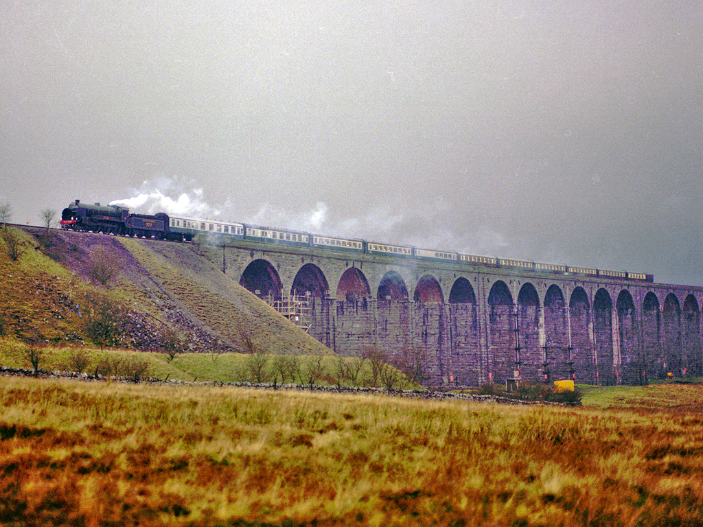
Settle–Carlisle line
The Settle–Carlisle line (also known as the Settle and Carlisle (S&C)) is a 73-mile-long (117 km) main railway line in northern England. The route, which...

Drybeck
Drybeck is a hamlet in the Eden district in the English county of Cumbria. It is near the town of Appleby-in-Westmorland. It is on Dry Beck and has a...

Little Asby
Little Asby is a small village in Cumbria, England. Historically part of Westmorland, its name is said to be derived from the Norse words askr, meaning...

Ormside railway station
Ormside railway station was a station at Ormside, England, on the Midland Railway Settle-Carlisle Line. It was located 33+1⁄4 miles (53.5 km) south of...
Little Ormside
Little Ormside is a hamlet in the parish of Ormside, in the Eden District, in the English county of Cumbria. == Location == It is a few miles away from...
Nearby Amenities
Located within 500m of 54.511767,-2.491909Have you been to Asby, Great?
Leave your review of Asby, Great below (or comments, questions and feedback).