Mask Wood
Wood, Forest in Westmorland Eden
England
Mask Wood
Mask Wood is a small woodland located in the county of Westmorland, England. Situated in the northern part of the county, it forms part of the larger Forest of Westmorland, which spans several thousand hectares. The wood is known for its dense vegetation and diverse range of tree species.
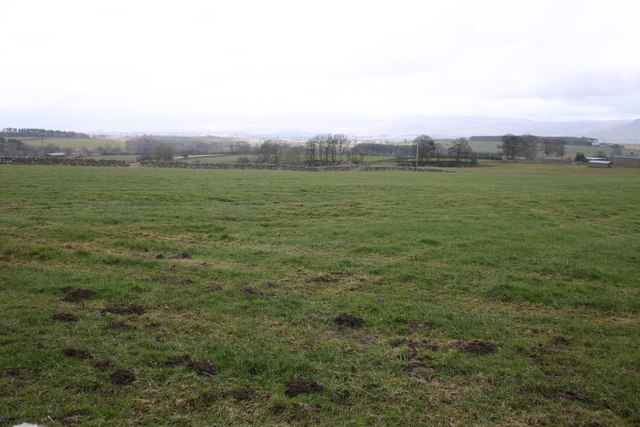
Covering an area of approximately 50 acres, Mask Wood is predominantly composed of deciduous trees such as oak, beech, and birch, interspersed with patches of coniferous trees including Scots pine and Norway spruce. This mix of tree species creates a rich and varied habitat, supporting a wide range of flora and fauna.
The woodland is crisscrossed by a network of footpaths, making it popular among hikers and nature enthusiasts. These paths allow visitors to explore the wood, providing opportunities to observe the local wildlife, including deer, foxes, and various bird species. The wood is also home to a number of rare and protected plant species, adding to its ecological significance.
Mask Wood has a long history, with evidence of human activity dating back centuries. It has been used for timber production, providing a valuable resource for local communities. Today, however, the wood is primarily protected for its conservation value, and efforts have been made to preserve its natural beauty and biodiversity.
Overall, Mask Wood in Westmorland is a captivating woodland that offers visitors a chance to connect with nature and experience the tranquility of a thriving forest ecosystem.
If you have any feedback on the listing, please let us know in the comments section below.
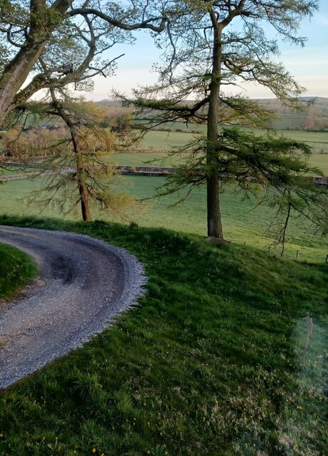
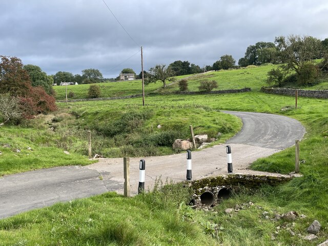
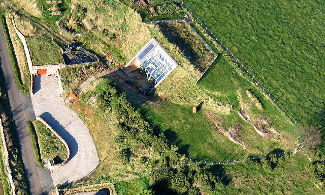
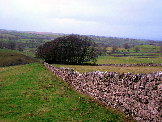
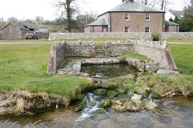
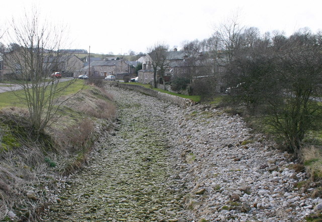
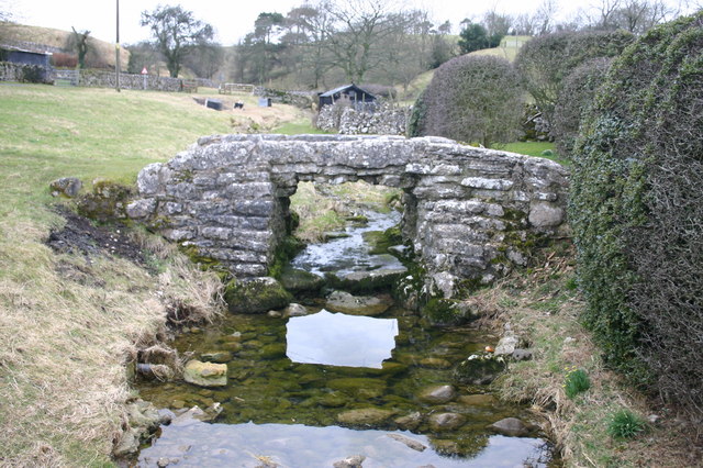
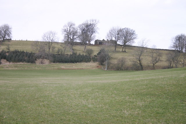
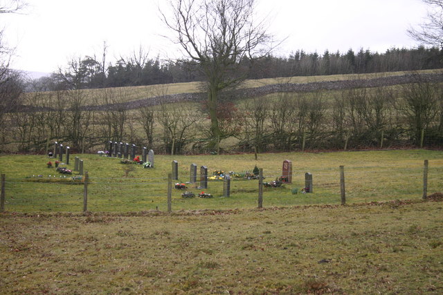
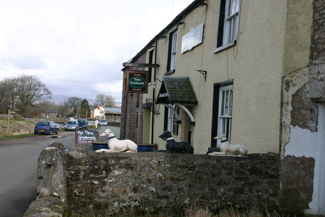
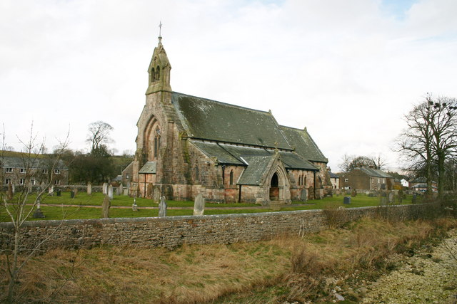
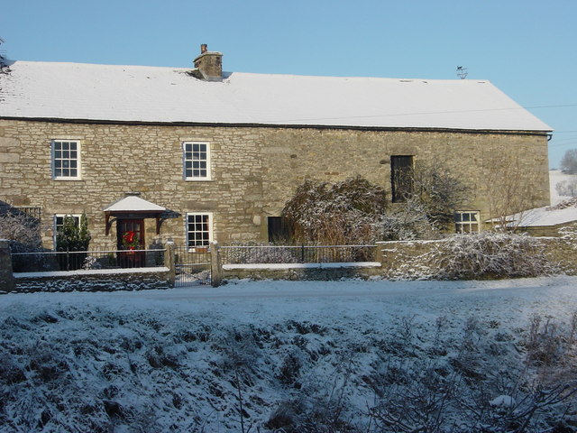
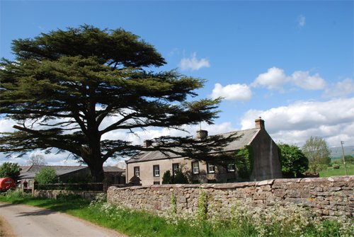
Mask Wood Images
Images are sourced within 2km of 54.514335/-2.4868026 or Grid Reference NY6813. Thanks to Geograph Open Source API. All images are credited.

Mask Wood is located at Grid Ref: NY6813 (Lat: 54.514335, Lng: -2.4868026)
Administrative County: Cumbria
District: Eden
Police Authority: Cumbria
What 3 Words
///forum.mysteries.usual. Near Appleby-in-Westmorland, Cumbria
Nearby Locations
Related Wikis

Great Asby
Great Asby is a village in Cumbria, England. Historically part of Westmorland, it is located approximately 15 miles (24 km) south east of Penrith and approximately...

Asby, Eden
Asby is a civil parish in the Eden district of Cumbria, England. Historically part of Westmorland, it includes the villages of Great Asby and Little Asby...

Pate Hole
Pate Hole is a solutional cave located adjacent to Asby Gill 1 kilometre (0.62 mi) south of Great Asby in Cumbria, England. It is 970 metres (3,180 ft...
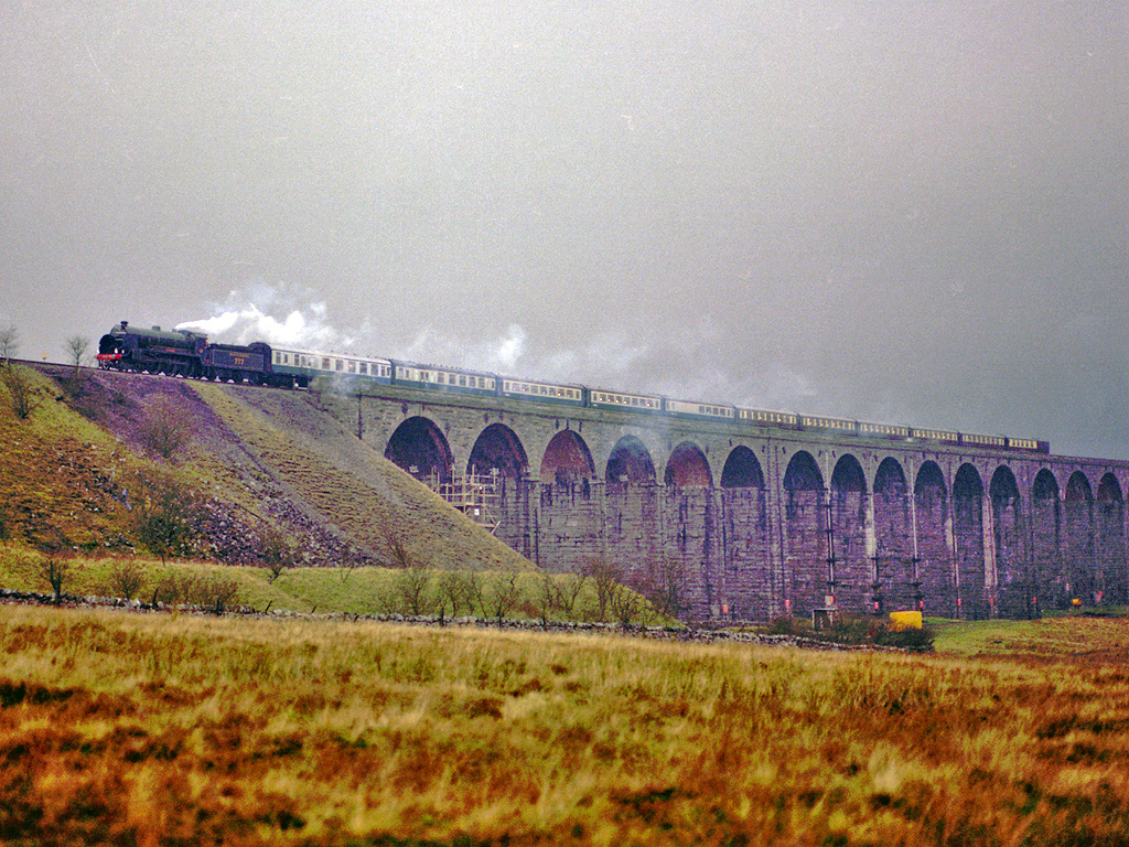
Settle–Carlisle line
The Settle–Carlisle line (also known as the Settle and Carlisle (S&C)) is a 73-mile-long (117 km) main railway line in northern England. The route, which...

Drybeck
Drybeck is a hamlet in the Eden district in the English county of Cumbria. It is near the town of Appleby-in-Westmorland. It is on Dry Beck and has a...

Little Asby
Little Asby is a small village in Cumbria, England. Historically part of Westmorland, its name is said to be derived from the Norse words askr, meaning...

Ormside railway station
Ormside railway station was a station at Ormside, England, on the Midland Railway Settle-Carlisle Line. It was located 33+1⁄4 miles (53.5 km) south of...
Little Ormside
Little Ormside is a hamlet in the parish of Ormside, in the Eden District, in the English county of Cumbria. == Location == It is a few miles away from...
Nearby Amenities
Located within 500m of 54.514335,-2.4868026Have you been to Mask Wood?
Leave your review of Mask Wood below (or comments, questions and feedback).