Barn Pool

Lake, Pool, Pond, Freshwater Marsh in Roxburghshire

Scotland

Barn Pool

Minor road approaching Longcleughside Looking north-eastward.
Minor road approaching Longcleughside Credit: Peter Wood

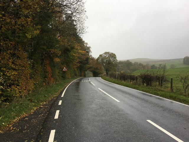
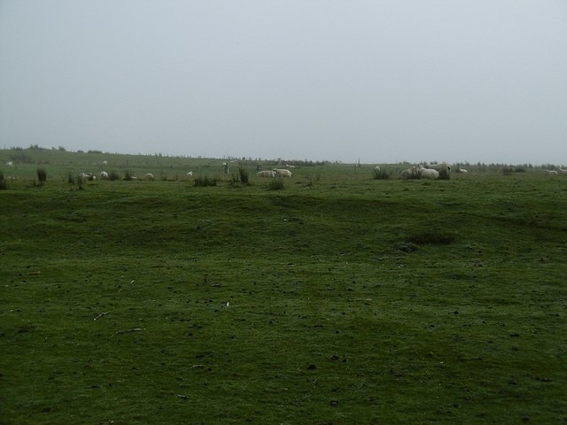
Barn Pool, located in Roxburghshire, Scotland, is a picturesque freshwater feature that encompasses a lake, pool, pond, and freshwater marsh. Nestled within a tranquil and scenic setting, it attracts both locals and tourists alike, offering a diverse range of natural habitats and wildlife.

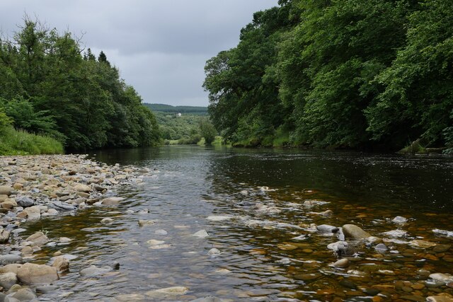
The main attraction of Barn Pool is its expansive lake, which stretches across a significant portion of the area. The lake is surrounded by lush greenery and rolling hills, creating a breathtaking backdrop for visitors. Its crystal-clear waters make it an ideal spot for various recreational activities such as fishing, boating, and kayaking.

Adjacent to the lake is a smaller pool, which provides a more intimate and secluded experience for those seeking tranquility. This pool is often frequented by birdwatchers and nature enthusiasts due to its abundant birdlife and the opportunity to observe various species in their natural habitat.

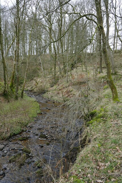
Furthermore, Barn Pool features a smaller pond, which serves as a breeding ground for amphibians and aquatic plants. This pond is an essential component of the ecosystem, supporting a wide array of species and contributing to the overall biodiversity of the area.

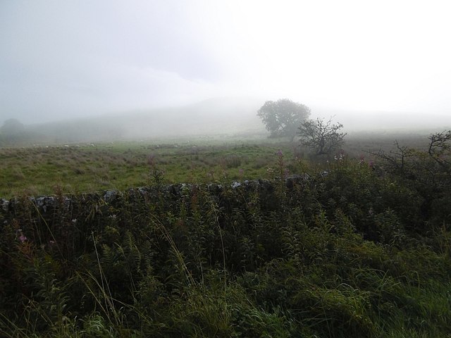
Lastly, the freshwater marsh in Barn Pool offers a unique and vital habitat for a range of wildlife. This marshland is characterized by its waterlogged soil, diverse vegetation, and an abundance of insects, providing an ideal environment for numerous bird species, amphibians, and small mammals.

Overall, Barn Pool in Roxburghshire is a haven for nature lovers, offering a diverse range of habitats and wildlife. Its stunning landscapes, recreational activities, and rich biodiversity make it a popular destination for both locals and visitors seeking to immerse themselves in the beauty of nature.

If you have any feedback on the listing, please let us know in the comments section below.
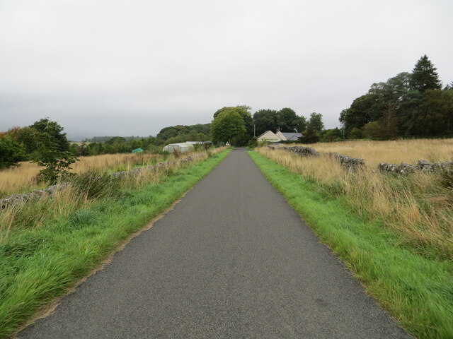
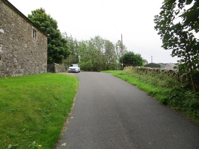
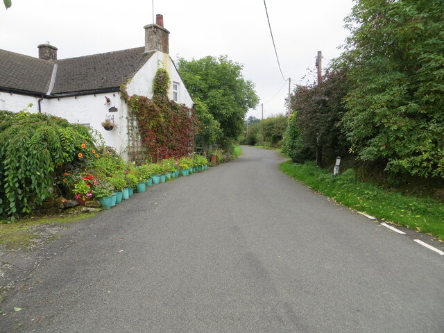
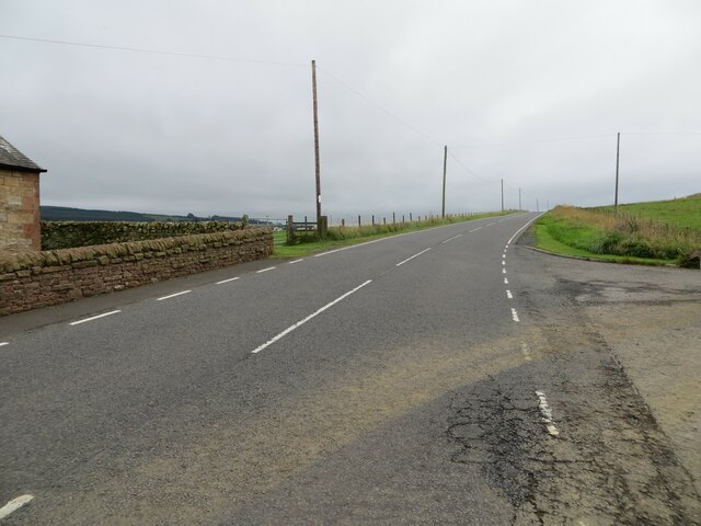
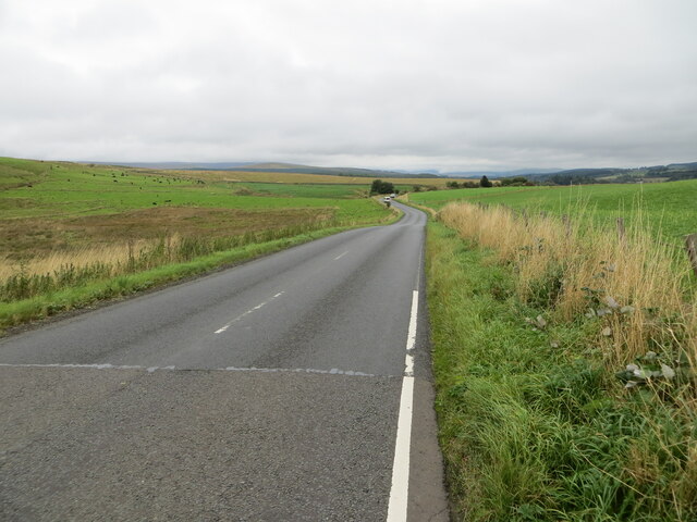
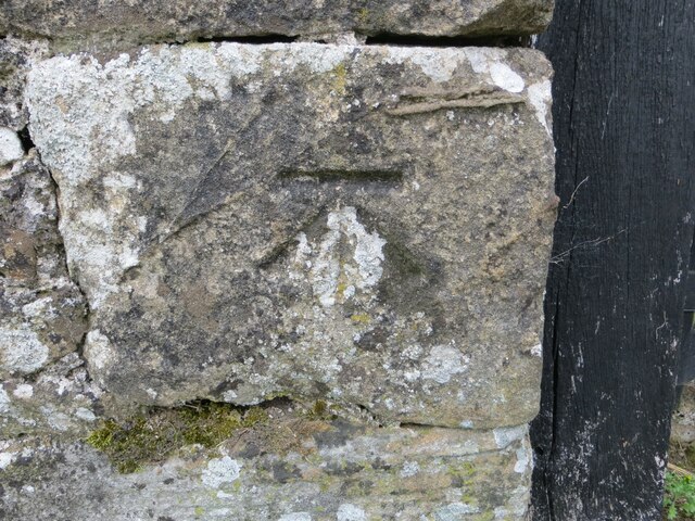
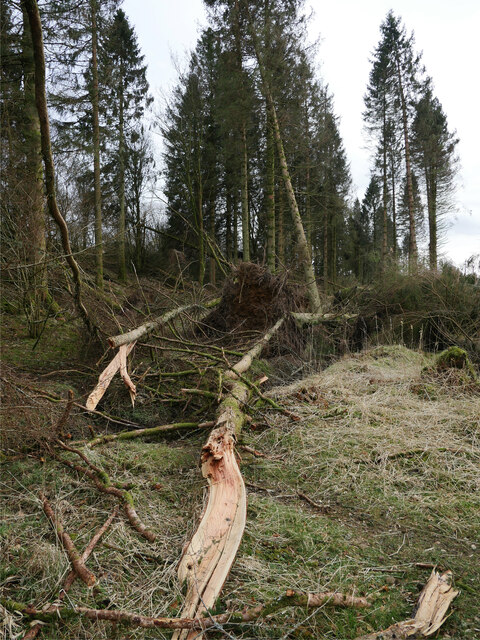
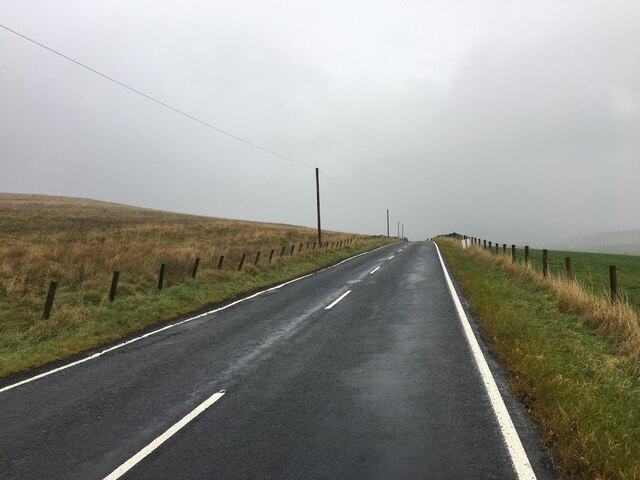
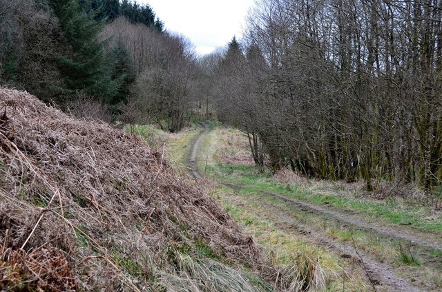
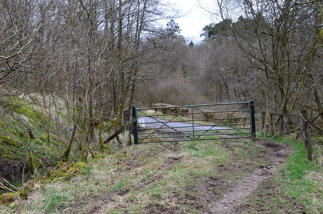
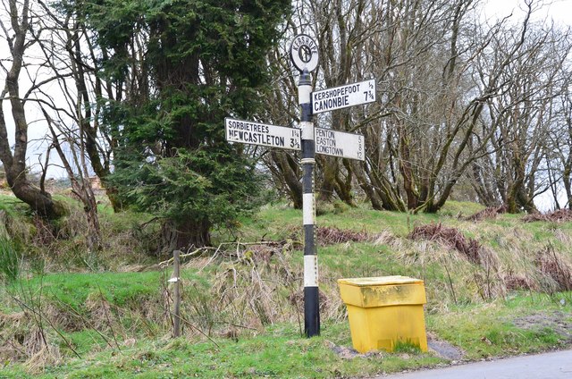
Barn Pool Images

Images are sourced within 2km of 55.136861/-2.8265048 or Grid Reference NY4782. Thanks to Geograph Open Source API. All images are credited.

Minor road approaching Longcleughside Looking north-eastward.
Minor road approaching Longcleughside
Looking north-eastward.
Minor road at Stonegarthside Hall Looking south-eastward.
Minor road at Stonegarthside Hall
Looking south-eastward.
Minor road between Stonegarthside Hall and Kershope House Looking north-eastward.
Minor road between Stonegarthside Hall and Kershope House
Looking north-eastward.
Minor road at Kershopefoot Looking south-eastward.
Minor road at Kershopefoot
Looking south-eastward.
Road (B6357) at Dinwoodie, Greena Hill Looking south-westward.
Road (B6357) at Dinwoodie, Greena Hill
Looking south-westward.
Road (B6357) near Dinwoodie, Greena Hill Looking north-eastward.
Road (B6357) near Dinwoodie, Greena Hill
Looking north-eastward.
Ordnance Survey Cut Mark This mark can be found on the roadside wall of a barn at Stonegarthside Hall.
The recorded details give a height of 146.2553 metres above sea level.
For more details see : <span class="nowrap"><a title="https://www.bench-marks.org.uk/bm164658" rel="nofollow ugc noopener" href="https://www.bench-marks.org.uk/bm164658">Link</a><img style="margin-left:2px;" alt="External link" title="External link - shift click to open in new window" src="https://s1.geograph.org.uk/img/external.png" width="10" height="10"/></span>
Ordnance Survey Cut Mark
This mark can be found on the roadside wall of a barn at Stonegarthside Hall. The recorded details give a height of 146.2553 metres above sea level. For more details see : LinkExternal link
Kershopefoot tree nursery: Storm Arwen damage Storm Arwen (26/27 November 2021) damage at the tree nursery near Kershopefoot.  For further information on the nursery, refer to <a href="https://www.geograph.org.uk/photo/6784123">NY4782 : Track through the tree nursery</a>

This photograph was taken during the Coronavirus (COVID-19) pandemic of 2020/21/22.
Kershopefoot tree nursery: Storm Arwen damage
Storm Arwen (26/27 November 2021) damage at the tree nursery near Kershopefoot. For further information on the nursery, refer to NY4782 : Track through the tree nursery This photograph was taken during the Coronavirus (COVID-19) pandemic of 2020/21/22.
B6357 near Ryeleahead
B6357 near Kershopefoot
A sike near Gilside This sike is just about to flow in to the Liddel Water and is the combined water of the Kenneth Sike and Foulwood Sike which drain moorland and forestry above the valley.
A sike near Gilside
This sike is just about to flow in to the Liddel Water and is the combined water of the Kenneth Sike and Foulwood Sike which drain moorland and forestry above the valley.
A view of the Liddesdale from Gilbraehead The meandering Liddel Water and adjacent sheep and cattle pasture predominate this view from just south of Gilbraehead.
A view of the Liddesdale from Gilbraehead
The meandering Liddel Water and adjacent sheep and cattle pasture predominate this view from just south of Gilbraehead.
The Liddel Water south of Kerr Pool A relatively low water level is typical of many of the rivers in the area after several weeks of very low rainfall.
The Liddel Water south of Kerr Pool
A relatively low water level is typical of many of the rivers in the area after several weeks of very low rainfall.
Lifting fog, Sorbietrees Morning fog lifting in Liddesdale and revealing Carby Hill.
Lifting fog, Sorbietrees
Morning fog lifting in Liddesdale and revealing Carby Hill.
Hill grazings, Carby Hill Off the unfenced road from Newcastleton to Kershope Bridge and England.
Hill grazings, Carby Hill
Off the unfenced road from Newcastleton to Kershope Bridge and England.
Path to Kershopefoot A path through woodland above the bank of the burn.
Path to Kershopefoot
A path through woodland above the bank of the burn.
Gate near the road to Kershopefoot At the western end of the path from Kershope Bridge.
Gate near the road to Kershopefoot
At the western end of the path from Kershope Bridge.
Old signpost near Kershopefoot A magnificent old road sign at a junction near the hamlet of Kershopefoot. It is surmounted by a roundel labelled Kershope and has 'Cumberland County Council' in smaller lettering vertically down the column. Distances are given to the nearest quarter of a mile.
Old signpost near Kershopefoot
A magnificent old road sign at a junction near the hamlet of Kershopefoot. It is surmounted by a roundel labelled Kershope and has 'Cumberland County Council' in smaller lettering vertically down the column. Distances are given to the nearest quarter of a mile.
Show me another place!

Barn Pool is located at Grid Ref: NY4782 (Lat: 55.136861, Lng: -2.8265048)

Unitary Authority: The Scottish Borders

Police Authority: The Lothians and Scottish Borders

What 3 Words

///trickles.rental.campfires. Near Langholm, Dumfries & Galloway

Related Wikis

Penton railway station

Penton railway station served the parish of Penton from 1862 to 1969 on the Border Union Railway. == History == The station opened on 1 March 1862 by the...

Kershope Foot railway station

Kershope Foot railway station served the hamlet of Kershopefoot, Cumbria, from 1862 to 1969 on the Border Union Railway. == History == The station opened...

Kershope Burn

Kershope Burn is a small river; a tributary of both the Liddel Water and the River Esk; its final destination is the Solway Firth. The early stages begin...

Kershopefoot

Kershopefoot is a small hamlet in Cumbria, England, traditionally in Cumberland. It is located very close to the Scotland-England border and is near the...

Nearby Amenities

Located within 500m of 55.136861,-2.8265048
Foresty Commission Office
Naptan AtcoCode: 090033301404
Naptan Bearing: E
Naptan BusStopType: CUS
Naptan CommonName: Foresty Commission Office
Naptan Indicator: o/s
Naptan Landmark: Foresty Commission Office
Naptan NaptanCode: cumatatg
Naptan Street: No name
Naptan Verified: no
Source: naptan_import
Lat/Long: 55.1373637/-2.8223955
Bus Stop
Under Burnmouth
Naptan AtcoCode: 69001466
Naptan Bearing: SW
Naptan BusStopType: CUS
Naptan CommonName: Under Burnmouth
Naptan Indicator: opp Farm
Naptan Landmark: Kershopefoot Road End
Naptan NaptanCode: 72725835
Naptan Street: B6399
Naptan Verified: no
Source: naptan_import
Lat/Long: 55.1388191/-2.8304103
Bus Stop
Under Burnmouth
Bus: yes
Naptan AtcoCode: 69001467
Naptan Bearing: NE
Naptan BusStopType: CUS
Naptan CommonName: Under Burnmouth
Naptan Indicator: o/s Farm
Naptan Landmark: Kershopefoot Road End
Naptan NaptanCode: 72725845
Naptan Street: B6399
Naptan Verified: no
Public Transport: platform
Source: naptan_import
Lat/Long: 55.1388989/-2.8305852
Kershope Foot
Historic Railway: station
Railway: site
Source: npe
Wikidata: Q30074597
Wikipedia: en:Kershope Foot railway station
Lat/Long: 55.1373392/-2.8247338
Turning Circle
Lat/Long: 55.1360831/-2.824198
Telephone
Booth: K6
Covered: booth
Source: survey
Lat/Long: 55.1374029/-2.8234936
Historic: archaeological_site
Source: NLS - OS 1:25k 1st Series 1937-61
Lat/Long: 55.1389378/-2.8242091
Power: pole
Lat/Long: 55.1378094/-2.828854
Power: pole
Lat/Long: 55.1368576/-2.8299582
Power: pole
Lat/Long: 55.1359036/-2.8310504
Power: pole
Lat/Long: 55.1349426/-2.8321688
Power: pole
Lat/Long: 55.1382105/-2.8297595
Power: pole
Lat/Long: 55.1385966/-2.8306992
Power: pole
Lat/Long: 55.1386254/-2.8311024
Power: pole
Lat/Long: 55.1387216/-2.8325411
Power: pole
Lat/Long: 55.1397742/-2.8272514
Power: pole
Lat/Long: 55.1393878/-2.8256741
Power: pole
Lat/Long: 55.1385556/-2.8239672
Power: pole
Lat/Long: 55.1388371/-2.8277378
Information: guidepost
Tourism: information
Lat/Long: 55.1377114/-2.8244631
Reiver Trail
Information: guidepost
Tourism: information
Lat/Long: 55.1377255/-2.8245189
The data included in this document is from www.openstreetmap.org. The data is made available under ODbL.

Have you been to Barn Pool?

Leave your review of Barn Pool below (or comments, questions and feedback).