Kerr Pool

Lake, Pool, Pond, Freshwater Marsh in Roxburghshire Carlisle

England

Kerr Pool

Minor road approaching Longcleughside Looking north-eastward.
Minor road approaching Longcleughside Credit: Peter Wood

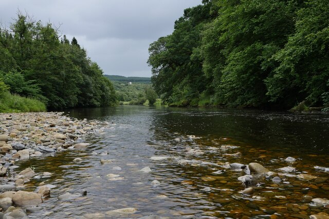
Kerr Pool is a picturesque freshwater lake located in Roxburghshire, Scotland. Situated in the beautiful Scottish Borders region, it covers an area of approximately 10 acres, making it a relatively small body of water. However, what it lacks in size, it more than makes up for in natural beauty and tranquility.

Surrounded by lush greenery and rolling hills, Kerr Pool is a haven for wildlife and nature enthusiasts. The lake is home to a diverse range of flora and fauna, including various species of waterfowl, fish, and aquatic plants. Birdwatchers will delight in spotting common species such as mallards, swans, and coots, as well as rarer sightings like herons and kingfishers.

The calm and clear waters of Kerr Pool make it an ideal destination for fishing enthusiasts. Anglers can try their luck at catching trout, pike, and perch, among other fish species. Fishing permits are required, and visitors are advised to adhere to local regulations and guidelines.

Surrounding the lake, visitors will find well-maintained walking trails, offering breathtaking views of the surrounding countryside. The peaceful atmosphere and stunning scenery make Kerr Pool a popular spot for picnics, leisurely walks, and nature photography.

Overall, Kerr Pool is a hidden gem in Roxburghshire, offering a tranquil escape from the hustle and bustle of everyday life. Whether you are a nature lover, angler, or simply seeking a peaceful retreat, this freshwater lake is sure to enchant and captivate all who visit.

If you have any feedback on the listing, please let us know in the comments section below.
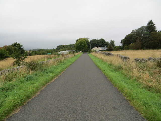
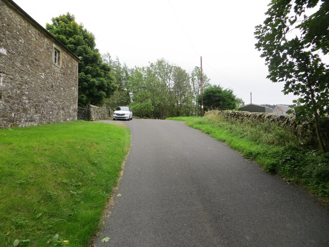
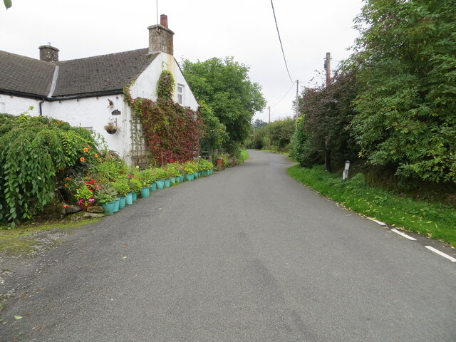
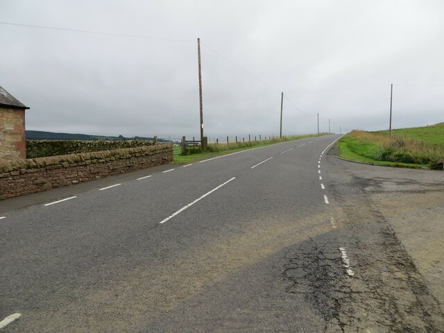
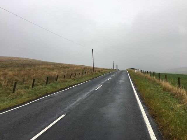
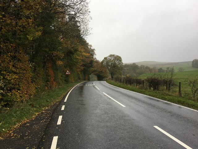
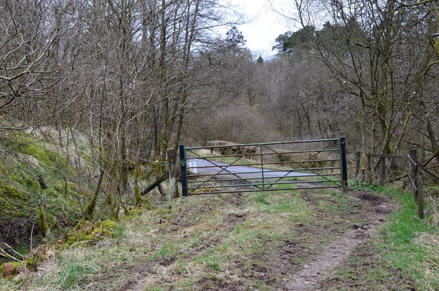
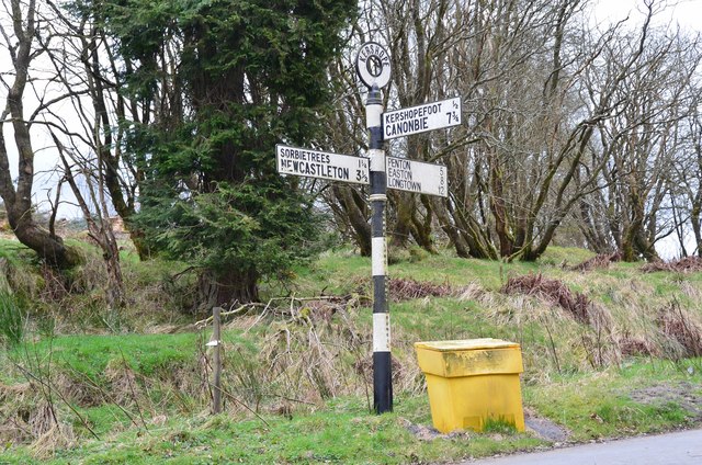
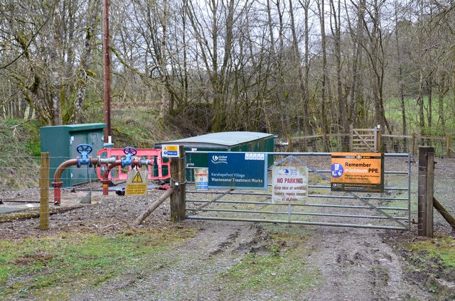
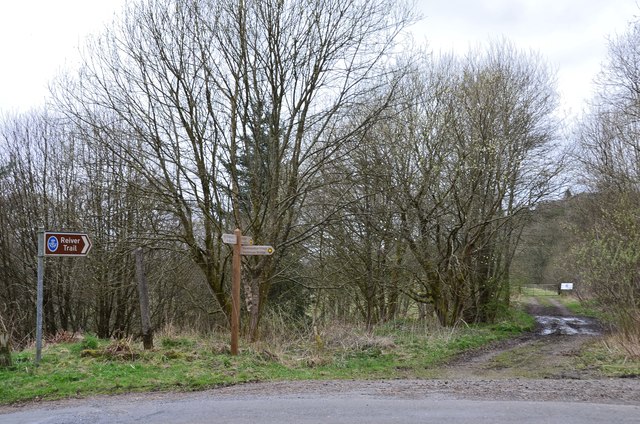
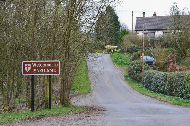
Kerr Pool Images

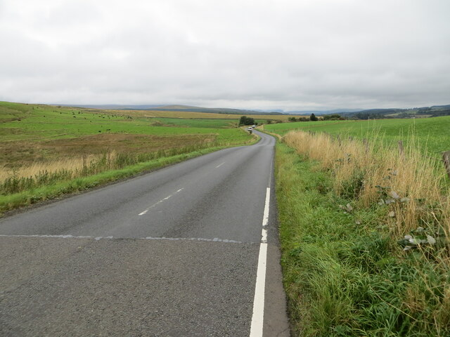
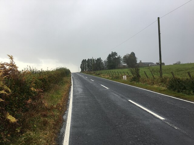
Images are sourced within 2km of 55.131526/-2.8326996 or Grid Reference NY4782. Thanks to Geograph Open Source API. All images are credited.

Minor road approaching Longcleughside Looking north-eastward.
Minor road approaching Longcleughside
Looking north-eastward.
Minor road at Stonegarthside Hall Looking south-eastward.
Minor road at Stonegarthside Hall
Looking south-eastward.
Minor road between Stonegarthside Hall and Kershope House Looking north-eastward.
Minor road between Stonegarthside Hall and Kershope House
Looking north-eastward.
Minor road at Kershopefoot Looking south-eastward.
Minor road at Kershopefoot
Looking south-eastward.
Road (B6357) at Dinwoodie, Greena Hill Looking south-westward.
Road (B6357) at Dinwoodie, Greena Hill
Looking south-westward.
Road (B6357) near Dinwoodie, Greena Hill Looking north-eastward.
Road (B6357) near Dinwoodie, Greena Hill
Looking north-eastward.
Ordnance Survey Cut Mark This mark can be found on the roadside wall of a barn at Stonegarthside Hall.
The recorded details give a height of 146.2553 metres above sea level.
For more details see : <span class="nowrap"><a title="https://www.bench-marks.org.uk/bm164658" rel="nofollow ugc noopener" href="https://www.bench-marks.org.uk/bm164658">Link</a><img style="margin-left:2px;" alt="External link" title="External link - shift click to open in new window" src="https://s1.geograph.org.uk/img/external.png" width="10" height="10"/></span>
Ordnance Survey Cut Mark
This mark can be found on the roadside wall of a barn at Stonegarthside Hall. The recorded details give a height of 146.2553 metres above sea level. For more details see : LinkExternal link
Kershopefoot tree nursery: Storm Arwen damage Storm Arwen (26/27 November 2021) damage at the tree nursery near Kershopefoot.  For further information on the nursery, refer to <a href="https://www.geograph.org.uk/photo/6784123">NY4782 : Track through the tree nursery</a>

This photograph was taken during the Coronavirus (COVID-19) pandemic of 2020/21/22.
Kershopefoot tree nursery: Storm Arwen damage
Storm Arwen (26/27 November 2021) damage at the tree nursery near Kershopefoot. For further information on the nursery, refer to NY4782 : Track through the tree nursery This photograph was taken during the Coronavirus (COVID-19) pandemic of 2020/21/22.
B6357 near Ryeleahead
B6357 near Kershopefoot
A view of the Liddesdale from Gilbraehead The meandering Liddel Water and adjacent sheep and cattle pasture predominate this view from just south of Gilbraehead.
A view of the Liddesdale from Gilbraehead
The meandering Liddel Water and adjacent sheep and cattle pasture predominate this view from just south of Gilbraehead.
The Liddel Water south of Kerr Pool A relatively low water level is typical of many of the rivers in the area after several weeks of very low rainfall.
The Liddel Water south of Kerr Pool
A relatively low water level is typical of many of the rivers in the area after several weeks of very low rainfall.
Gate near the road to Kershopefoot At the western end of the path from Kershope Bridge.
Gate near the road to Kershopefoot
At the western end of the path from Kershope Bridge.
Old signpost near Kershopefoot A magnificent old road sign at a junction near the hamlet of Kershopefoot. It is surmounted by a roundel labelled Kershope and has 'Cumberland County Council' in smaller lettering vertically down the column. Distances are given to the nearest quarter of a mile.
Old signpost near Kershopefoot
A magnificent old road sign at a junction near the hamlet of Kershopefoot. It is surmounted by a roundel labelled Kershope and has 'Cumberland County Council' in smaller lettering vertically down the column. Distances are given to the nearest quarter of a mile.
Wastewater treatment works, Kershopefoot By the Kershope Burn close to its confluence with the Liddel Water.
Wastewater treatment works, Kershopefoot
By the Kershope Burn close to its confluence with the Liddel Water.
Path along disused railway, Kershopefoot Footpath sign indicating the path to Newcastleton on the old Waverley route from Carlisle to Edinburgh.
Path along disused railway, Kershopefoot
Footpath sign indicating the path to Newcastleton on the old Waverley route from Carlisle to Edinburgh.
Kershopefoot A Border hamlet at the confluence of the Kershope Burn and the Liddel Water. The border itself runs along the Kershope Burn and Kershopefoot is on the English side.
Kershopefoot
A Border hamlet at the confluence of the Kershope Burn and the Liddel Water. The border itself runs along the Kershope Burn and Kershopefoot is on the English side.
Show me another place!

Kerr Pool is located at Grid Ref: NY4782 (Lat: 55.131526, Lng: -2.8326996)

Administrative County: Cumbria

District: Carlisle

Police Authority: Cumbria

What 3 Words

///remotest.crockery.modules. Near Langholm, Dumfries & Galloway

Related Wikis

Penton railway station

Penton railway station served the parish of Penton from 1862 to 1969 on the Border Union Railway. == History == The station opened on 1 March 1862 by the...

Kershope Foot railway station

Kershope Foot railway station served the hamlet of Kershopefoot, Cumbria, from 1862 to 1969 on the Border Union Railway. == History == The station opened...

Kershope Burn

Kershope Burn is a small river; a tributary of both the Liddel Water and the River Esk; its final destination is the Solway Firth. The early stages begin...

Kershopefoot

Kershopefoot is a small hamlet in Cumbria, England, traditionally in Cumberland. It is located very close to the Scotland-England border and is near the...

Nearby Amenities

Located within 500m of 55.131526,-2.8326996
Power: pole
Lat/Long: 55.1359036/-2.8310504
Power: pole
Lat/Long: 55.1349426/-2.8321688
Power: pole
Lat/Long: 55.1340164/-2.8332245
Power: pole
Lat/Long: 55.1330345/-2.8343421
Power: pole
Lat/Long: 55.1324911/-2.8349649
Power: pole
Lat/Long: 55.1317088/-2.8358662
Power: pole
Lat/Long: 55.1310236/-2.8366426
Power: pole
Lat/Long: 55.1300806/-2.8377198
Power: pole
Lat/Long: 55.1290998/-2.8388449
The data included in this document is from www.openstreetmap.org. The data is made available under ODbL.

Have you been to Kerr Pool?

Leave your review of Kerr Pool below (or comments, questions and feedback).