Allaloth Linn

Lake, Pool, Pond, Freshwater Marsh in Banffshire

Scotland

Allaloth Linn

Approaching site of Enzie station in Burn of Tynet valley Believe it or not, a branch of the Highland Railway was built in 1885 along this valley from Keith to Portessie, on the border between Morayshire and Banffshire. It carried no traffic after August 1915, but the line was not taken up until 1937. So I had to take this photograph, in the pouring rain in the back of nowhere.
Approaching site of Enzie station in Burn of Tynet valley Credit: Ben Brooksbank

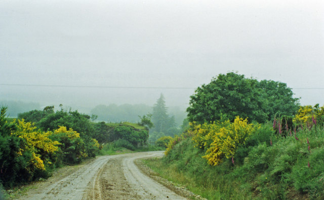
Allaloth Linn is a picturesque freshwater marsh located in Banffshire, Scotland. Nestled amidst the rugged landscape of the Scottish Highlands, this serene natural wonder offers a tranquil respite for nature enthusiasts and wildlife lovers alike.

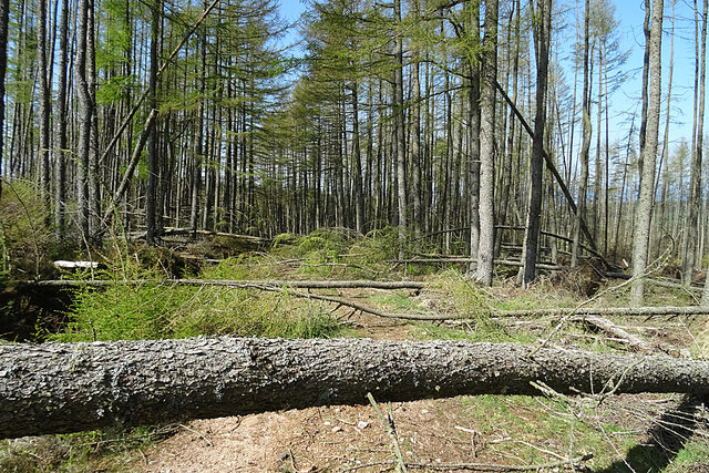
This enchanting marsh is formed by a combination of a lake, pool, pond, and freshwater marsh, creating a diverse habitat for a wide array of flora and fauna. The still waters of the lake reflect the surrounding mountains, providing a stunning backdrop to the marsh's lush greenery.

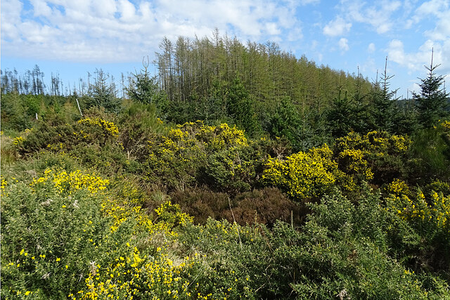
The marsh is known for its rich biodiversity, hosting numerous plant species such as reeds, rushes, and water lilies. These aquatic plants provide a vital habitat for various wildlife, including waterfowl, fish, and amphibians. Birdwatchers can spot a plethora of avian species, including herons, ducks, and even the occasional osprey.

The marsh's calm waters also support a healthy fish population, with species like trout and perch thriving in its depths. Anglers often flock to Allaloth Linn to try their luck in catching a prized fish.

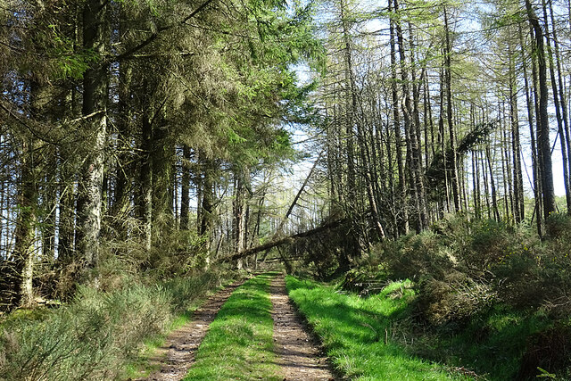
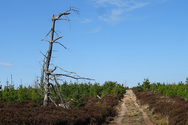
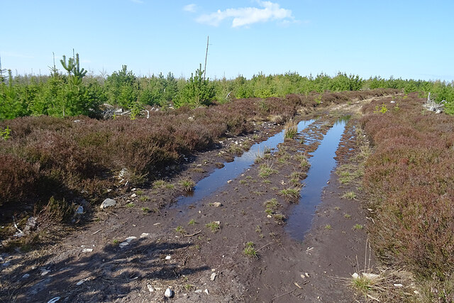
Hikers and nature enthusiasts can explore the marsh's surroundings through well-maintained trails, offering breathtaking views of the surrounding landscapes. Visitors can also enjoy picnicking and relaxing by the water's edge, immersing themselves in the tranquility of this natural oasis.

Allaloth Linn, Banffshire is not only a haven for wildlife but also a haven for those seeking solace in nature's beauty. Its unique combination of a lake, pool, pond, and freshwater marsh makes it a truly remarkable destination for anyone who appreciates the wonders of the natural world.

If you have any feedback on the listing, please let us know in the comments section below.

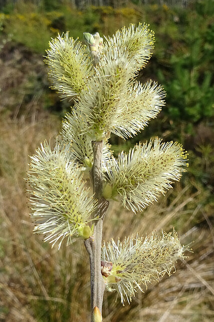
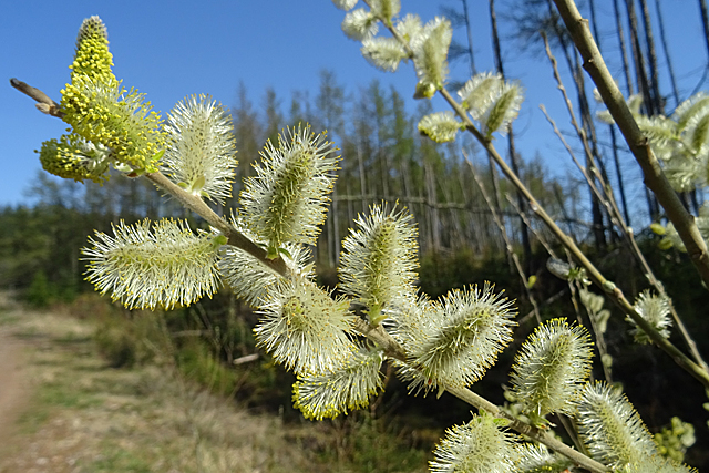
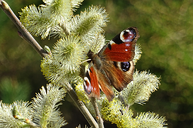
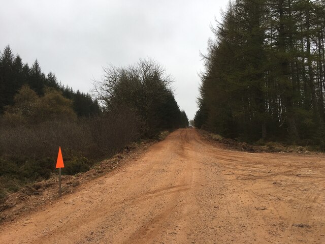
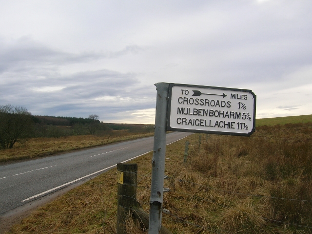
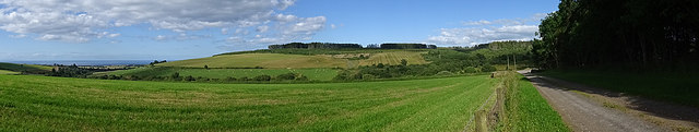
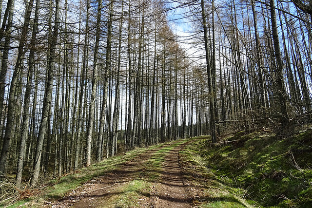
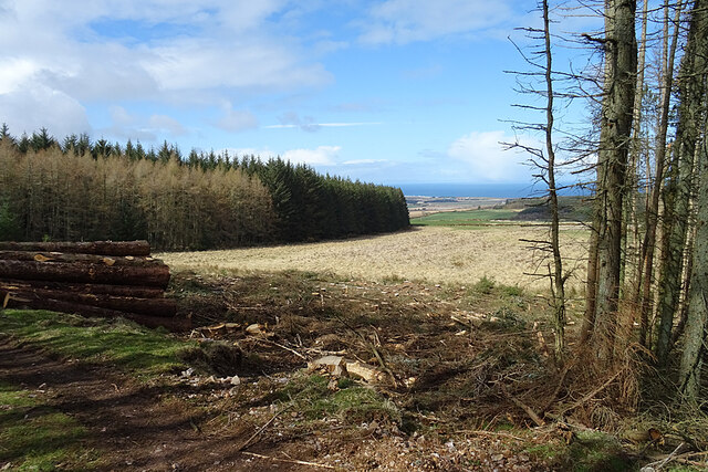
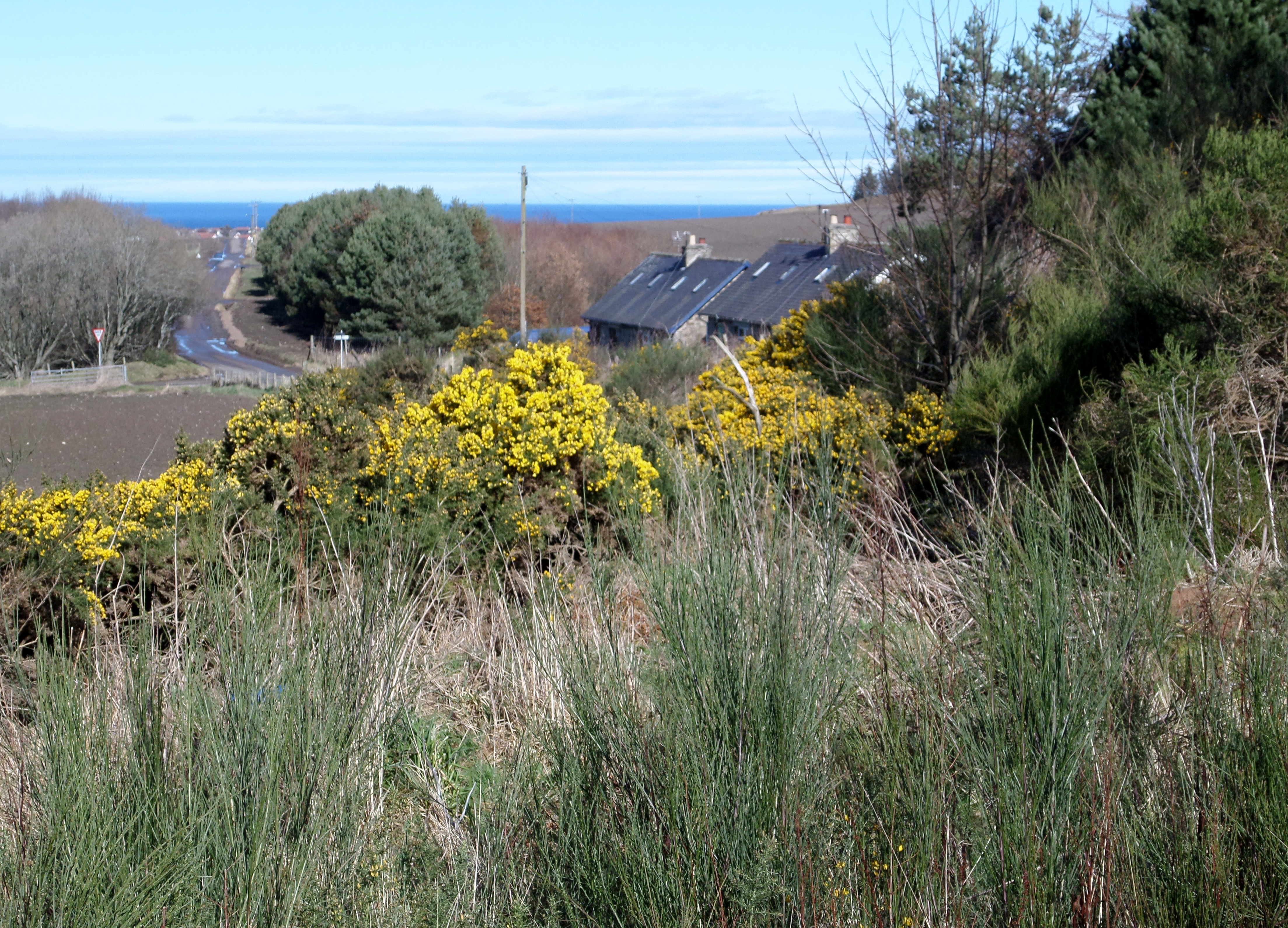
Allaloth Linn Images

Images are sourced within 2km of 57.616099/-3.0012086 or Grid Reference NJ4058. Thanks to Geograph Open Source API. All images are credited.

Approaching site of Enzie station in Burn of Tynet valley Believe it or not, a branch of the Highland Railway was built in 1885 along this valley from Keith to Portessie, on the border between Morayshire and Banffshire. It carried no traffic after August 1915, but the line was not taken up until 1937. So I had to take this photograph, in the pouring rain in the back of nowhere.
Approaching site of Enzie station in Burn of Tynet valley
Believe it or not, a branch of the Highland Railway was built in 1885 along this valley from Keith to Portessie, on the border between Morayshire and Banffshire. It carried no traffic after August 1915, but the line was not taken up until 1937. So I had to take this photograph, in the pouring rain in the back of nowhere.
Road junction near Ryeriggs
Brassica Crop I'm not suffiently knowledgeable to be able to tell what this crop is, other than it's not oilseed rape. Maybe neeps?
Brassica Crop
I'm not suffiently knowledgeable to be able to tell what this crop is, other than it's not oilseed rape. Maybe neeps?
An Ominous Sight As we set off to retrace a favourite walk, we were confronted by what turned out to be the first of many obstructions in the shape of trees blown down across the track by Storm Arwen last November. I expect that Forest and Land Scotland will eventually get round to clearing little-used tracks like this one, but there must be many much more inconvenient blockages to deal with in the meantime.
An Ominous Sight
As we set off to retrace a favourite walk, we were confronted by what turned out to be the first of many obstructions in the shape of trees blown down across the track by Storm Arwen last November. I expect that Forest and Land Scotland will eventually get round to clearing little-used tracks like this one, but there must be many much more inconvenient blockages to deal with in the meantime.
An Obstacle Course If we thought this was a significant obstacle, it was nothing to some of the ones we encountered further on where trees have been blown down across the track by Storm Arwen last November. I expect that Forest and Land Scotland will eventually get round to clearing little-used tracks like this one, but there must be many much more inconvenient blockages to deal with in the meantime.
An Obstacle Course
If we thought this was a significant obstacle, it was nothing to some of the ones we encountered further on where trees have been blown down across the track by Storm Arwen last November. I expect that Forest and Land Scotland will eventually get round to clearing little-used tracks like this one, but there must be many much more inconvenient blockages to deal with in the meantime.
A Dead End We decided to find out where this track went, and the answer is that it peters out behind me here in the middle of the forest, so we had to retrace our steps to the road. We could just about see where the continuations of the track went, but they were too overgrown to tempt us to try them. A later look at the satellite view confirmed the wisdom of our decision.
A Dead End
We decided to find out where this track went, and the answer is that it peters out behind me here in the middle of the forest, so we had to retrace our steps to the road. We could just about see where the continuations of the track went, but they were too overgrown to tempt us to try them. A later look at the satellite view confirmed the wisdom of our decision.
Hillock of Harts This was taken on the way back to the road. On the way out we almost gave up when confronted with this stretch of bog, but in the event the heather on the left was firm enough to avoid getting our feet wet and muddy. We found some frog spawn almost drying out in a small puddle, and we scopped it up and dropped it in here, in the hope that at least some of the spawn would hatch and survive.
Hillock of Harts
This was taken on the way back to the road. On the way out we almost gave up when confronted with this stretch of bog, but in the event the heather on the left was firm enough to avoid getting our feet wet and muddy. We found some frog spawn almost drying out in a small puddle, and we scopped it up and dropped it in here, in the hope that at least some of the spawn would hatch and survive.
Corsekell Moss This is almost the same view as <a href="https://www.geograph.org.uk/photo/6806280">NJ4057 : Corsekell Moss</a>, much improved by the whins coming into flower and the larches turning green. The foreground of that view is just to the left here.
Corsekell Moss
This is almost the same view as NJ4057 : Corsekell Moss, much improved by the whins coming into flower and the larches turning green. The foreground of that view is just to the left here.
Willow Flowers 'Pussy Willow' that has burst into flower.
Willow Flowers
'Pussy Willow' that has burst into flower.
Flowering Willow In fact the lower flowers are almost past, while the ones at the tip of the twig are in full bloom.
Flowering Willow
In fact the lower flowers are almost past, while the ones at the tip of the twig are in full bloom.
Peacock Butterfly on Willow This was one of several Peacocks (Inachis io) that were feeding on the nectar in the willow blossom. Unfortunately this one is a bit ragged, having survived from last year and overwintered here.
Peacock Butterfly on Willow
This was one of several Peacocks (Inachis io) that were feeding on the nectar in the willow blossom. Unfortunately this one is a bit ragged, having survived from last year and overwintered here.
Forestry road, Aultmore
Old Direction sign - Signpost by the B9016, Bellie Parish Flat finial - 1 arm; by the B9016, in parish of Bellie (Moray District), junction UC road linking to the A96.

Surveyed

Milestone Society National ID: MO_NJ4057.
Old Direction sign - Signpost by the B9016, Bellie Parish
Flat finial - 1 arm; by the B9016, in parish of Bellie (Moray District), junction UC road linking to the A96. Surveyed Milestone Society National ID: MO_NJ4057.
Looking towards Corsekell Moss On the right is the access road to Raefin.
Looking towards Corsekell Moss
On the right is the access road to Raefin.
Dumb Dumpers Someone has taken all the trouble to drive all the way up here to dump a couple of heated towel rails and other rubbish that should have been taken to a recycling centre. Why?
Dumb Dumpers
Someone has taken all the trouble to drive all the way up here to dump a couple of heated towel rails and other rubbish that should have been taken to a recycling centre. Why?
Forest Gate As usual, there's plenty of room for walkers and cyclists to step round the gate and gain access to the network of forest roads.
Forest Gate
As usual, there's plenty of room for walkers and cyclists to step round the gate and gain access to the network of forest roads.
Forest Road Just what you want for a nice walk - a gently sloping road, dry underfoot, with plenty of sunlight filtering through the trees.
Forest Road
Just what you want for a nice walk - a gently sloping road, dry underfoot, with plenty of sunlight filtering through the trees.
View Through a Gap The narrow strip of trees in the foreground has been felled, opening up a view down to the coast at Portgordon.
View Through a Gap
The narrow strip of trees in the foreground has been felled, opening up a view down to the coast at Portgordon.
Show me another place!

Allaloth Linn is located at Grid Ref: NJ4058 (Lat: 57.616099, Lng: -3.0012086)

Unitary Authority: Moray

Police Authority: North East

What 3 Words

///bedspread.sunroof.basis. Near Fochabers, Moray

Nearby Locations

Allaloth Linn

Related Wikis

Enzie railway station

Enzie railway station was a station which served the hamlet of Enzie, in the Scottish county of Moray. It was served by trains on the Buckie and Portessie...

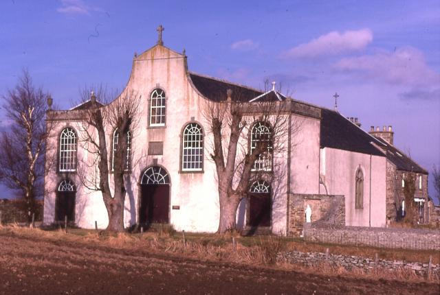
St Gregory's Church, Preshome

St. Gregory's Church is a Roman Catholic church at Preshome near Buckie in north-east Scotland. It is protected as a category A listed building.Built...

St Ninian's Church, Tynet

St Ninian's Church, Tynet is a historic Roman Catholic clandestine church located at Tynet about 4 miles to the west of Buckie, Scotland in the Enzie region...

Foudland Hills

The Foudland Hills is a mountain range in the northeast of Aberdeenshire, Scotland and northwest of Morayshire. The Foudland Hills are a prominent feature...

Arradoul

Arradoul is a small village in Scotland, in the traditional county of Banffshire, and in the Moray council area. It is a ribbon settlement on the south...

Craigmin Bridge

Craigmin Bridge is an eighteenth century bridge within the grounds of Letterfourie House, in Moray, Scotland. Spanning the Burn of Letterfourie, it once...

Drybridge Platform railway station

Drybridge Platform railway station or Drybridge railway station was a station which served the hamlet of that name in the parish of Rathven and in addition...

Gordon Castle

Gordon Castle is a country house located near Fochabers in the parish of Bellie in Moray, Scotland. It was the principal seat of the Dukes of Gordon and...

Nearby Amenities

Located within 500m of 57.616099,-3.0012086
Power: pole
Lat/Long: 57.6196211/-2.9976547
Power: pole
Lat/Long: 57.6201262/-2.998144
Blinkbonny
Place: isolated_dwelling
Lat/Long: 57.6144704/-3.0060362
Nether Allaloth
Place: isolated_dwelling
Lat/Long: 57.6192742/-2.9978394
Starryhaugh
Place: isolated_dwelling
Lat/Long: 57.618895/-3.0057144
The data included in this document is from www.openstreetmap.org. The data is made available under ODbL.

Have you been to Allaloth Linn?

Leave your review of Allaloth Linn below (or comments, questions and feedback).