Gravesend
Settlement in Kent Gravesham
England
Gravesend
Gravesend is a historic town located in the county of Kent, England. Situated on the south bank of the River Thames, it is approximately 24 miles east of central London. With a population of around 68,000 people, it is a thriving urban area that offers a rich blend of history, culture, and modern amenities.
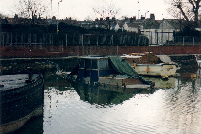
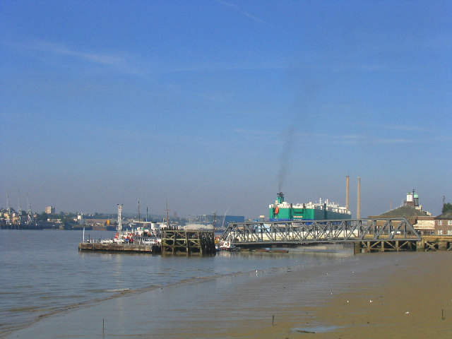
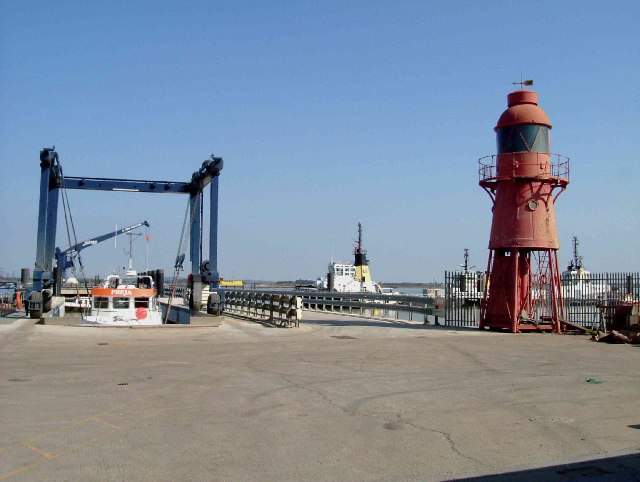
The town has a significant maritime heritage, dating back to the 13th century when it was a strategic port for trade and travel. Today, Gravesend still maintains its connection to the river, with a bustling pier that serves as a departure point for river cruises and ferries to nearby destinations such as Tilbury and London.
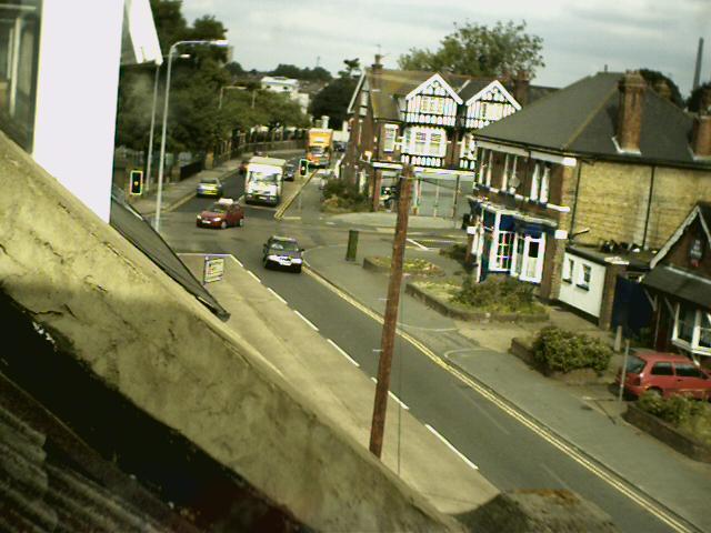
Gravesend boasts an array of architectural gems, including the iconic clock tower, which is a symbol of the town. The High Street is lined with a mix of Tudor, Georgian, and Victorian buildings, housing a variety of shops, restaurants, and cafes. The town's market, held twice a week, offers a vibrant atmosphere and a range of local produce and goods.
For history enthusiasts, the area is home to several notable landmarks, such as the Gravesend Town Pier and the Milton Chantry, a medieval chapel. The town also has strong connections to famed explorer Captain James Cook, who set sail on his first voyage from Gravesend in 1768.
Gravesend boasts a diverse community, with a range of cultural celebrations and events throughout the year. The Sikh festival of Vaisakhi and the Pocahontas Festival, which commemorates the Native American princess, are just a few examples that highlight the town's multicultural spirit.
With excellent transport links, including a direct train service to London, Gravesend offers residents and visitors the perfect balance between urban living and a rich historical legacy.
If you have any feedback on the listing, please let us know in the comments section below.
Gravesend Images
Images are sourced within 2km of 51.442515/0.36936569 or Grid Reference TQ6474. Thanks to Geograph Open Source API. All images are credited.


Gravesend is located at Grid Ref: TQ6474 (Lat: 51.442515, Lng: 0.36936569)
Administrative County: Kent
District: Gravesham
Police Authority: Kent
What 3 Words
///dizzy.trains.shirt. Near Gravesend, Kent
Nearby Locations
Related Wikis
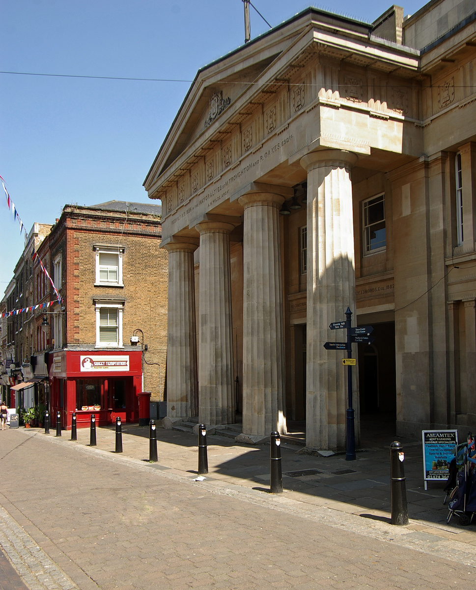
Gravesend Town Hall
Gravesend Town Hall is a municipal building in the High Street in Gravesend, Kent, England. The town hall, which was the headquarters of Gravesend Municipal...

Gravesend
Gravesend is a town in northwest Kent, England, situated 21 miles (35 km) east-southeast of Charing Cross (central London) on the south bank of the River...

St George's Church, Gravesend
St George's Church, Gravesend, is a Grade II*-listed Anglican church dedicated to Saint George the patriarch of England, which is situated near the foot...
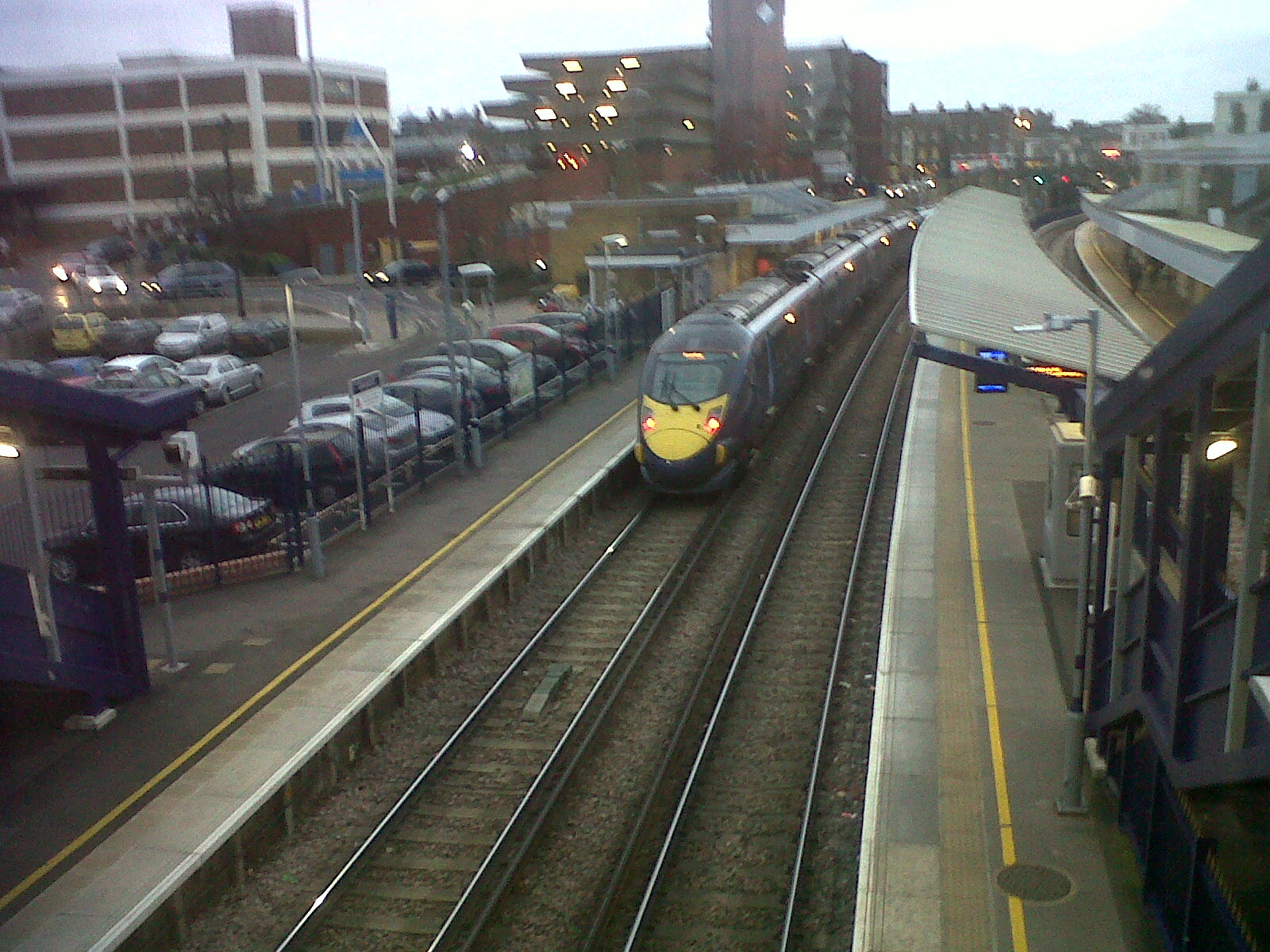
Gravesend railway station
Gravesend railway station serves the town of Gravesend in north Kent, England. It is 23 miles 75 chains (38.5 km) down the line from London Charing Cross...

Woodville Halls Theatre
Woodville Halls Theatre is a venue located in Gravesend, England. Based on the site of the Civic Centre the Halls are a venue in their own right. There...
Theatre Royal, Gravesend
The Theatre Royal, Gravesend was a theatre established in the 1800s in Gravesend, Kent.The theatre was established by the impresario Thomas Trotter as...
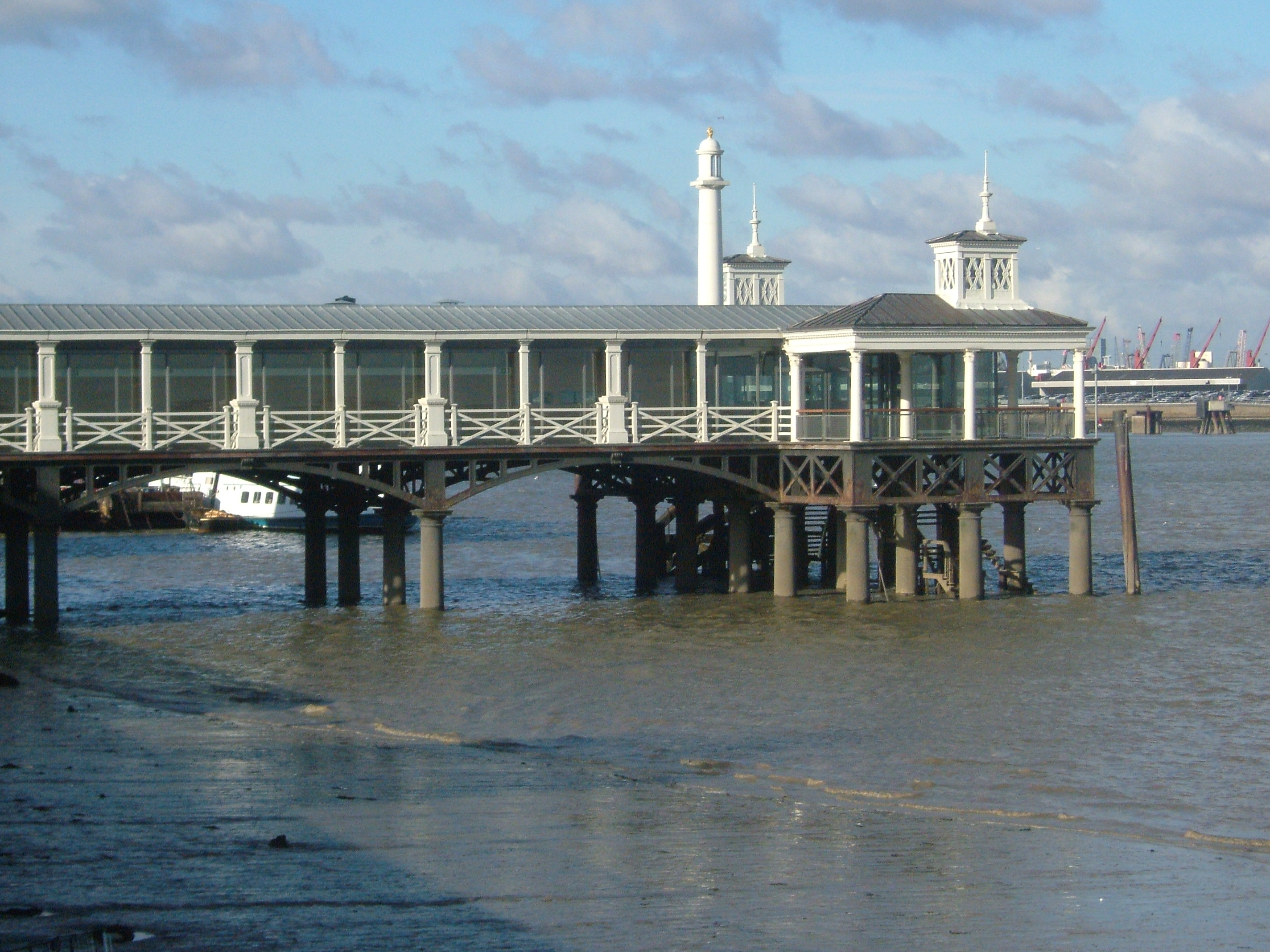
Town Pier, Gravesend
The Gravesend Town Pier is located in Gravesend, Kent. It was designed by William Tierney Clark and built in 1834 on the site of the earlier Town Quay...
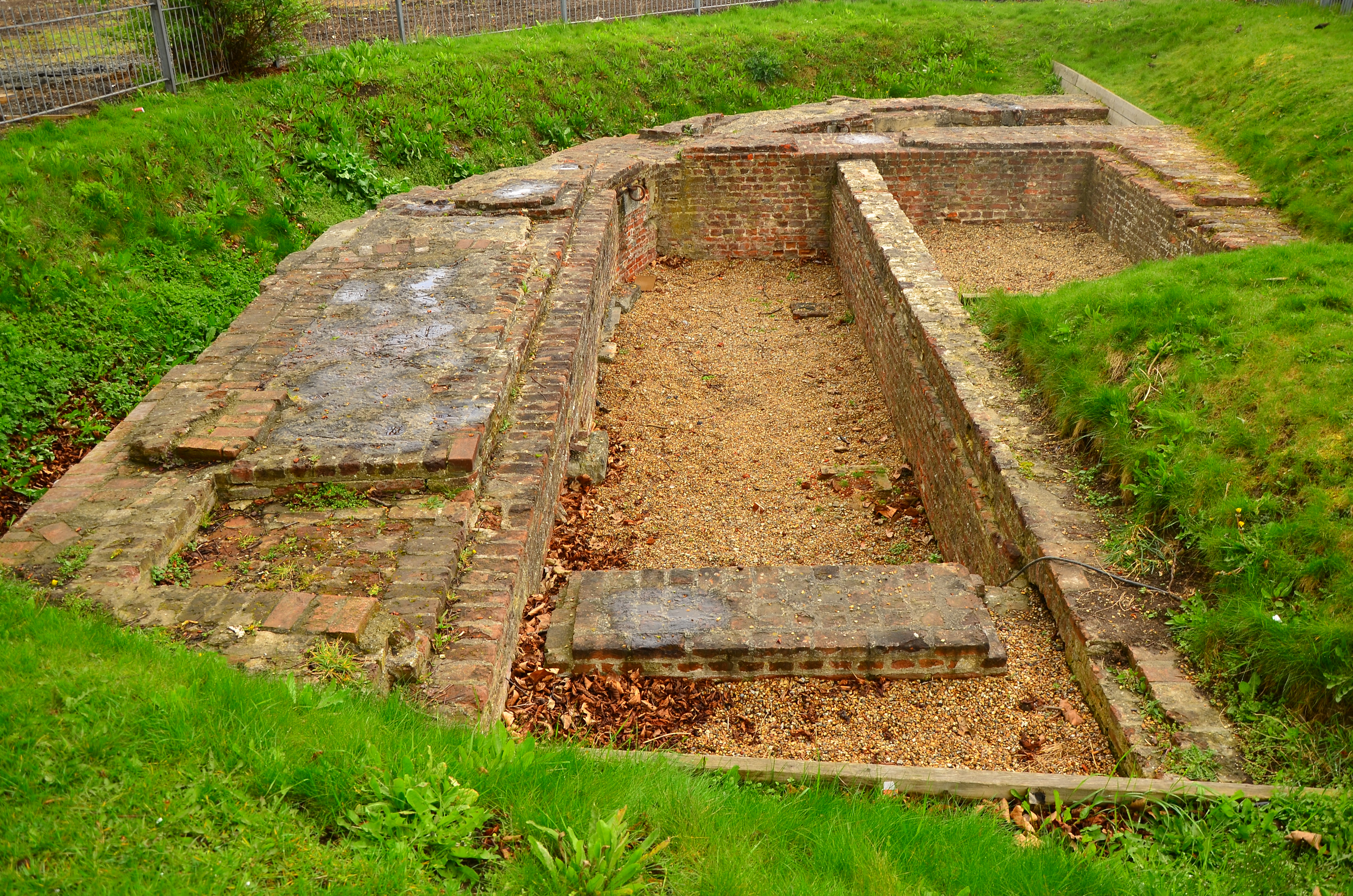
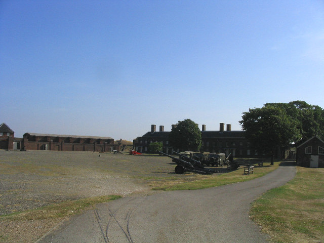
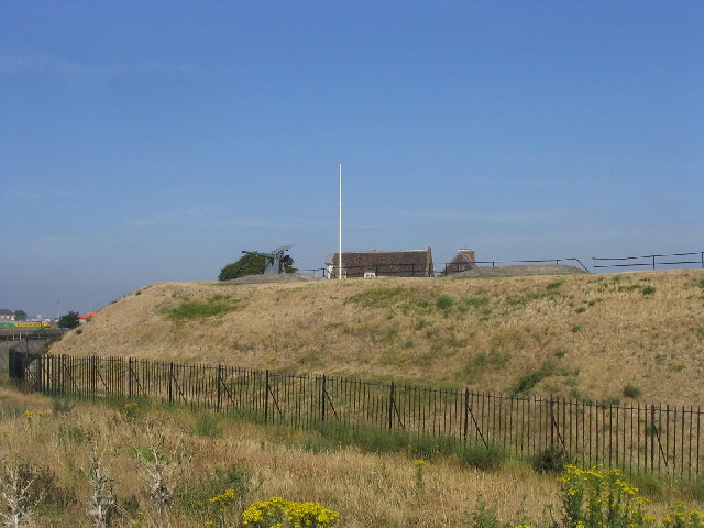
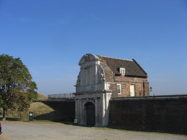
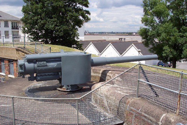
Gravesend Blockhouse
Gravesend Blockhouse was an artillery fortification constructed as part of Henry VIII's Device plan of 1539, in response to fears of an imminent invasion...
Nearby Amenities
Located within 500m of 51.442515,0.36936569Have you been to Gravesend?
Leave your review of Gravesend below (or comments, questions and feedback).