Gravesend

Settlement in Hertfordshire East Hertfordshire

England

Gravesend

Fields near Albury Hall
Fields near Albury Hall Credit: Hugh Venables

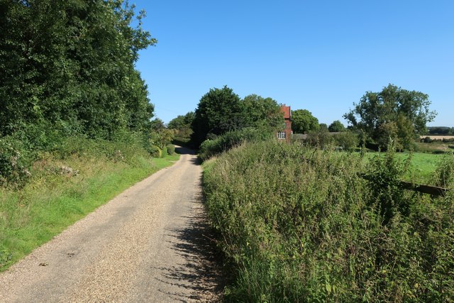
Gravesend is a small village located in the county of Hertfordshire, England. Situated approximately 20 miles northwest of London, it falls within the local government district of Three Rivers. The village is surrounded by picturesque countryside and lies adjacent to the River Gade.

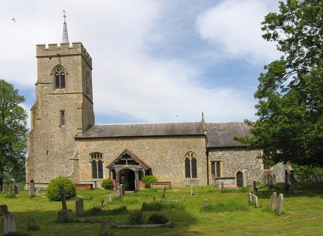
With a population of around 1,500 residents, Gravesend is known for its tranquil and rural atmosphere. The village boasts a rich history that dates back to medieval times, as evidenced by the presence of several historic buildings and landmarks. One notable example is St. Ethelreda's Church, a beautiful Grade II listed building that dates back to the 12th century and features stunning architecture.

Despite its small size, Gravesend offers a range of amenities and services to its residents. These include a primary school, a village hall, a local pub, and a convenience store. The village also benefits from its proximity to larger towns and cities, such as Watford and Hemel Hempstead, which provide additional shopping, recreational, and employment opportunities.

Gravesend is well-connected to surrounding areas by road and public transportation. The nearby M25 motorway allows for easy access to London and other parts of the country. Additionally, the village is served by regular bus services, providing convenient links to neighboring towns and villages.

Overall, Gravesend in Hertfordshire offers a peaceful and idyllic setting for those seeking a rural lifestyle within easy reach of urban amenities. Its rich history, natural beauty, and close-knit community make it a desirable place to live.

If you have any feedback on the listing, please let us know in the comments section below.
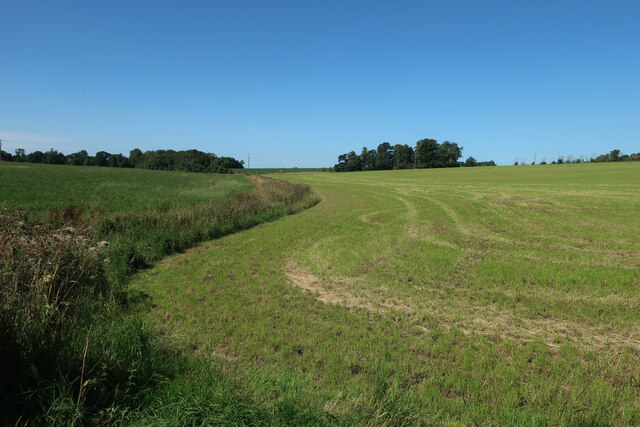
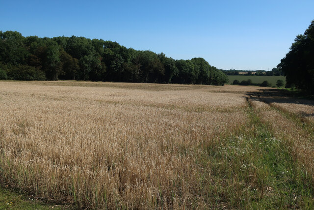
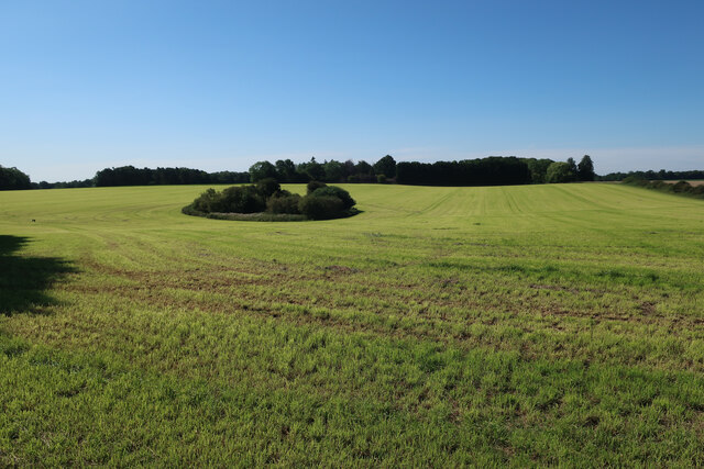
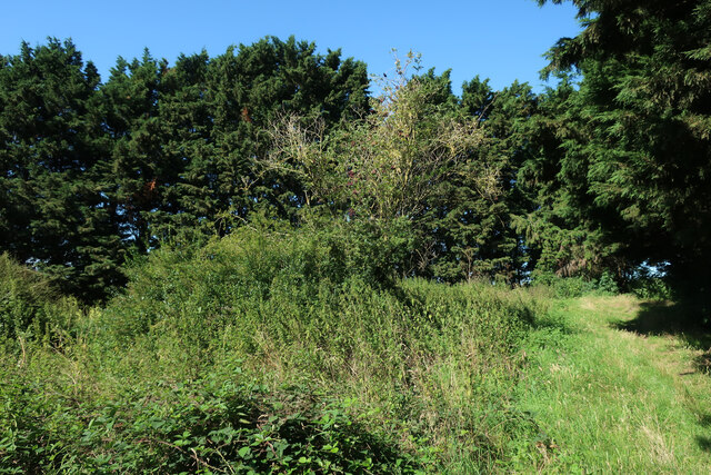
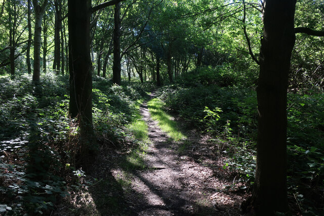
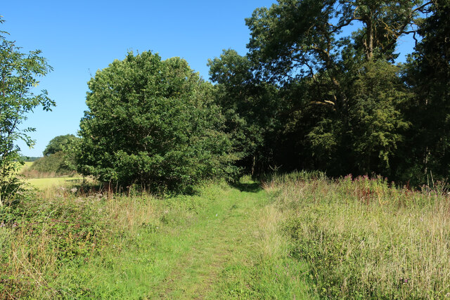
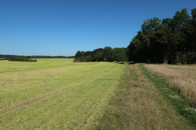
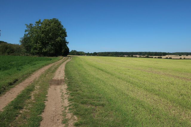
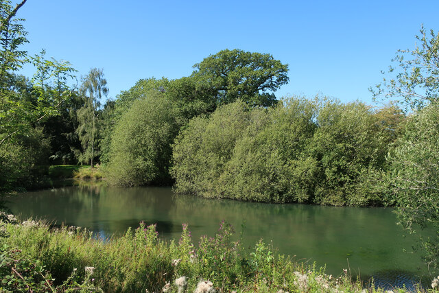
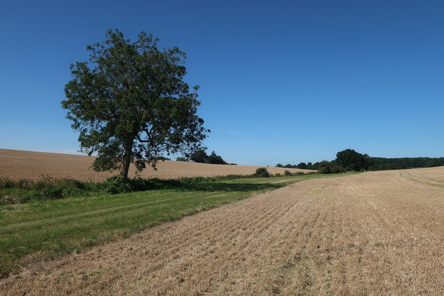
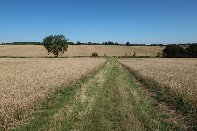
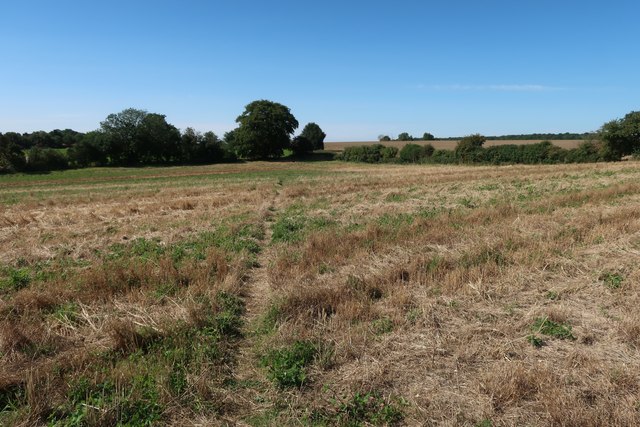
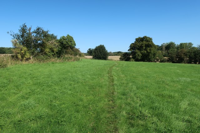
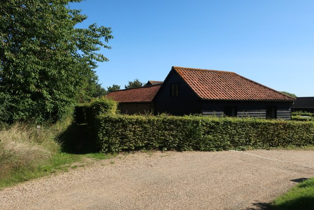
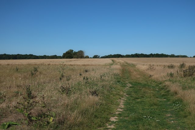
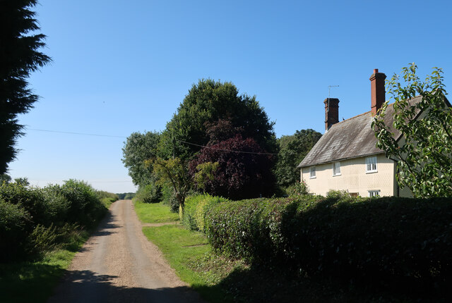
Gravesend Images

Images are sourced within 2km of 51.912295/0.089981 or Grid Reference TL4325. Thanks to Geograph Open Source API. All images are credited.

Fields near Albury Hall
Hertfordshire Way through stubble field
Field between the woods With Oaken Spring wood behind.
Field between the woods
With Oaken Spring wood behind.
Pond in a field
Pond in a field
Footpath through Oaken Spring
Footpath into Oaken Spring
Footpath to Oaken Spring
Hertfordshire Way to Kitchers
Kitchers Pond
Kitchers Pond
Fields by Hertfordshire Way
Hertfordshire Way towards Patient End
Footpath from Furneux Pelham
Footpath from Patient End Farm
Footpath past Patient End Barns
Hertfordshire Way from Patient End
Hertfordshire Way at Patient End
Hertfordshire Way to Patient End
Show me another place!

Gravesend is located at Grid Ref: TL4325 (Lat: 51.912295, Lng: 0.089981)

Administrative County: Hertfordshire

District: East Hertfordshire

Police Authority: Hertfordshire

What 3 Words

///charging.explores.lousy. Near Puckeridge, Hertfordshire

Related Wikis

Albury, Hertfordshire

Albury is a village and civil parish in the East Hertfordshire district of Hertfordshire, England, about five miles west of Bishop's Stortford. According...

Patmore Heath

Patmore Heath is a 7.6 hectares (19 acres) biological Site of Special Scientific Interest in East Hertfordshire, England, 2 kilometres north-east of Albury...

Hillcollins Pit

Hillcollins Pit or Furneux Pelham Gravel Pit is a 0.2-hectare (0.49-acre) geological Site of Special Scientific Interest near Furneux Pelham in Hertfordshire...

Barleycroft End

Barleycroft End is a hamlet in Hertfordshire, England. It is in the civil parish of Furneux Pelham. == External links == Media related to Barleycroft...

Furneux Pelham

Furneux Pelham or Furneaux Pelham is a village and civil parish in Hertfordshire, England. The village is one of the Pelhams, part of an early medieval...

Albury End

Albury End is a hamlet in Hertfordshire, England. It is in the civil parish of Albury. == External links == Media related to Albury End at Wikimedia Commons

Little Hadham

Little Hadham is a village and civil parish in the district of East Hertfordshire, Hertfordshire, England. At the census of 2001 it had a population of...

Stocking Pelham

Stocking Pelham is a village and civil parish in the East Hertfordshire district of Hertfordshire, England. It is located on the border with Essex, around...

Nearby Amenities

Located within 500m of 51.912295,0.089981
Pub
The Catherine Wheel
Lat/Long: 51.911644/0.0916393
Gravesend
Place: hamlet
Lat/Long: 51.9121682/0.0909527
Gravesend Farm
Local Ref: NR
Naptan AtcoCode: 210021304120
Naptan Bearing: S
Naptan BusStopType: CUS
Naptan CommonName: Gravesend Farm
Naptan Crossing: Patmore Heath
Naptan Indicator: nr
Naptan Landmark: Patmore Heath
Naptan NaptanCode: hrtdtjgw
Naptan ShortCommonName: NA
Naptan Street: Albury Road
Naptan Verified: no
Public Transport: platform
Source: naptan_import
Lat/Long: 51.911432/0.09148
Gravesend Farm
Naptan AtcoCode: 210021308770
Naptan Bearing: N
Naptan BusStopType: CUS
Naptan CommonName: Gravesend Farm
Naptan Crossing: opp Patmore Heath
Naptan Indicator: opp
Naptan Landmark: opp Patmore Heath
Naptan NaptanCode: hrtdpmjd
Naptan ShortCommonName: NA
Naptan Street: Albury Road
Naptan Verified: no
Public Transport: platform
Source: naptan_import
Lat/Long: 51.9115332/0.0913538
Parking
Lat/Long: 51.9121192/0.0960741
Ele: 97
Lat/Long: 51.9141091/0.0905957
Post Box
High Hall Farm
Collection Times: Mo-Fr 16:00; Sa 08:30
Ref: SG11 36
Lat/Long: 51.9086066/0.0928544
Power: pole
Lat/Long: 51.9143617/0.0867106
Power: pole
Lat/Long: 51.9160441/0.086128
Power: pole
Lat/Long: 51.9149507/0.0895967
Power: pole
Lat/Long: 51.9146296/0.0926247
Power: pole
Lat/Long: 51.9152485/0.0869574
Power: pole
Lat/Long: 51.9150632/0.0884165
Power: pole
Lat/Long: 51.9124443/0.086839
Power: pole
Lat/Long: 51.9113655/0.0872038
Power: pole
Lat/Long: 51.9093383/0.0878531
Power: pole
Lat/Long: 51.9102649/0.0875152
Power: pole
Lat/Long: 51.9083938/0.0881479
Power: pole
Lat/Long: 51.9135396/0.0865225
Power: pole
Lat/Long: 51.9105197/0.0888026
Power: pole
Lat/Long: 51.9142014/0.093751
Power: pole
Lat/Long: 51.9107282/0.0898702
Tourism: information
Type: board
Lat/Long: 51.9120579/0.0964288
Bench
Lat/Long: 51.9121289/0.0965868
Parking
Note: For pub customers
Lat/Long: 51.9114041/0.0917073
Defibrillator
Emergency: defibrillator
Lat/Long: 51.9116105/0.0916498
Addr Housename: Heath View
Addr Housenumber: 4
Addr Street: Patmore Heath Cottages
Lat/Long: 51.9121442/0.0939578
Addr Housenumber: 2
Addr Street: Patmore Heath Cottages
Lat/Long: 51.9121276/0.0937191
Addr Housenumber: 1
Addr Street: Patmore Heath Cottages
Lat/Long: 51.9121194/0.0936037
Addr Housenumber: 3
Addr Street: Patmore Heath Cottages
Lat/Long: 51.9121424/0.0938666
Addr Housename: Hillside Cottage
Lat/Long: 51.9120548/0.0933811
Addr Housename: Ashleigh
Lat/Long: 51.9098724/0.0945505
Addr Housename: Lilac Tree Cottage
Lat/Long: 51.9106732/0.0941294
Addr Housename: West View
Lat/Long: 51.9101685/0.094505
Addr Housename: Fir Tree Cottage
Lat/Long: 51.9115187/0.0938371
Addr Housename: Jasper Cottage
Lat/Long: 51.9113947/0.0938478
Addr Housename: Heathcote
Lat/Long: 51.9109628/0.0941187
Addr Housename: Marston
Lat/Long: 51.9108155/0.0941455
Addr Housename: Rose Cottage
Lat/Long: 51.9105822/0.0942045
Addr Housename: Gardenhouse
Lat/Long: 51.9118099/0.0937513
Addr Housename: Rambleside
Lat/Long: 51.9111614/0.0940731
Addr Housename: Pear Tree Cottage
Lat/Long: 51.9094732/0.0954705
Addr Housename: Hitch Lane Cottage
Lat/Long: 51.9093905/0.0951889
The data included in this document is from www.openstreetmap.org. The data is made available under ODbL.

Have you been to Gravesend?

Leave your review of Gravesend below (or comments, questions and feedback).