Shaws Upper Loch

Lake, Pool, Pond, Freshwater Marsh in Selkirkshire

Scotland

Shaws Upper Loch

Overgrown borrow pit Hyndhope Forest.
Overgrown borrow pit Credit: Richard Webb

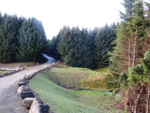
Shaws Upper Loch is a picturesque freshwater lake located in Selkirkshire, Scotland. With its serene surroundings and stunning natural beauty, it has become a popular destination for nature enthusiasts and tourists alike.

Covering an area of approximately 50 acres, Shaws Upper Loch is nestled amidst rolling hills and lush greenery. The lake is known for its crystal-clear waters, which are home to a diverse range of aquatic life, including various species of fish, waterfowl, and amphibians.

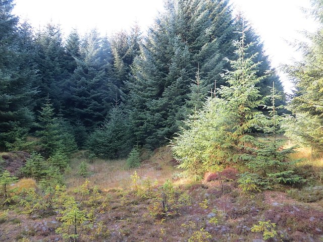
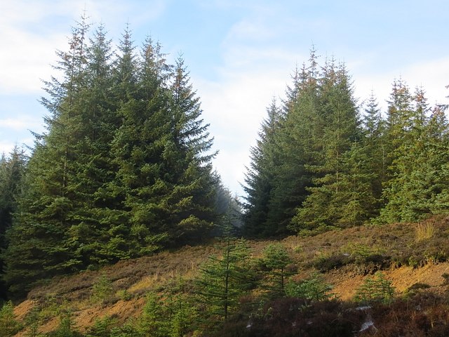
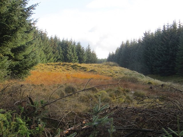
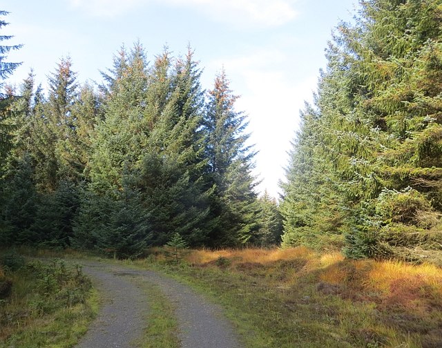
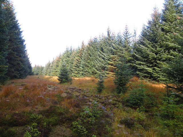
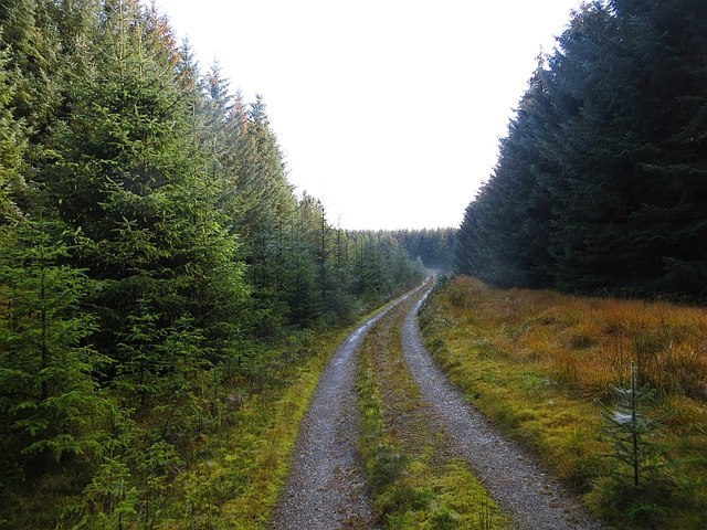
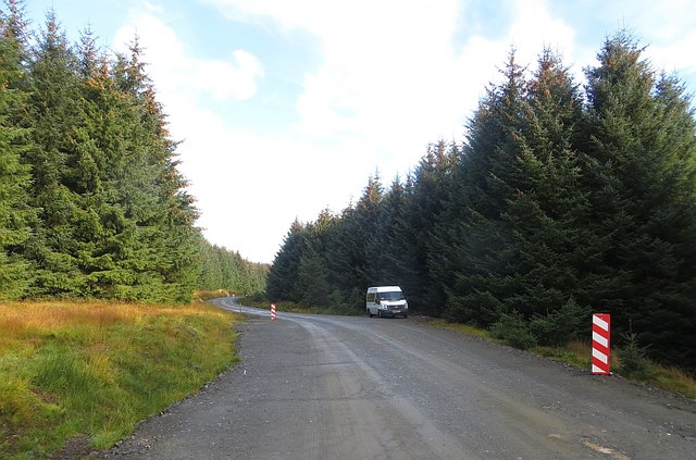
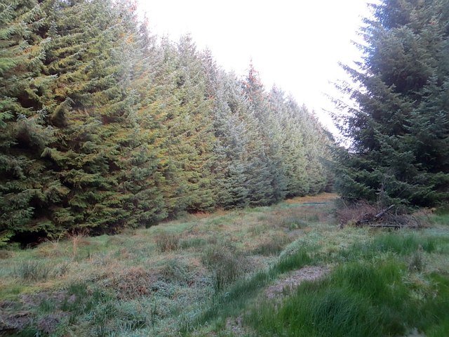
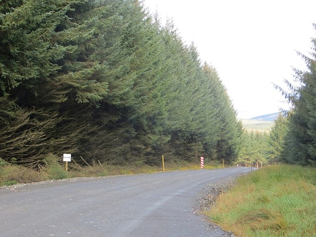
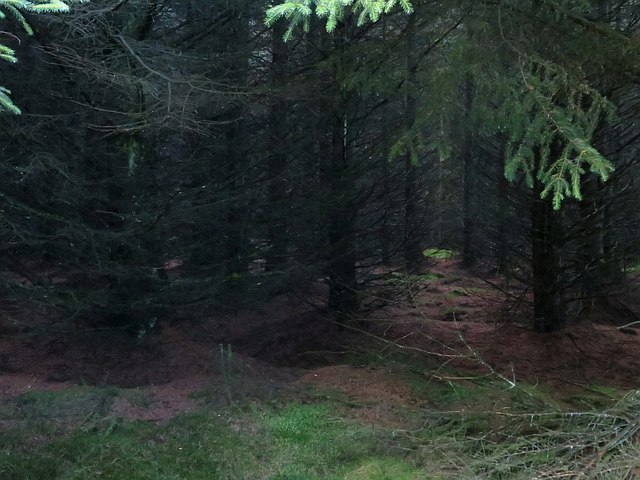
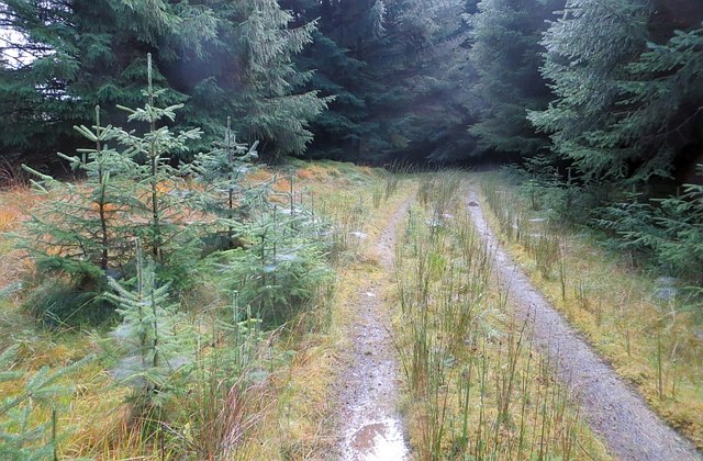
Surrounded by a mix of native trees and shrubs, the shores of Shaws Upper Loch offer a peaceful and tranquil setting. The area is also home to an abundance of wildlife, making it a haven for birdwatchers and nature photographers. Visitors can expect to spot a variety of bird species, such as swans, ducks, herons, and even the occasional osprey.

The lake itself is relatively shallow, with an average depth of around 6 feet, making it a suitable habitat for both aquatic plants and animals. The surrounding wetlands and marshes are also of ecological importance, providing a breeding ground and feeding area for a wide range of water-loving plants and animals.

Shaws Upper Loch offers various recreational activities for visitors to enjoy. Fishing is a popular pastime, with anglers having the opportunity to catch trout and pike. Canoeing and kayaking are also common activities, allowing visitors to explore the lake's tranquil waters at their own pace.

Overall, Shaws Upper Loch is a hidden gem in Selkirkshire, offering visitors a chance to immerse themselves in the beauty of nature and experience a peaceful retreat away from the hustle and bustle of everyday life.

If you have any feedback on the listing, please let us know in the comments section below.

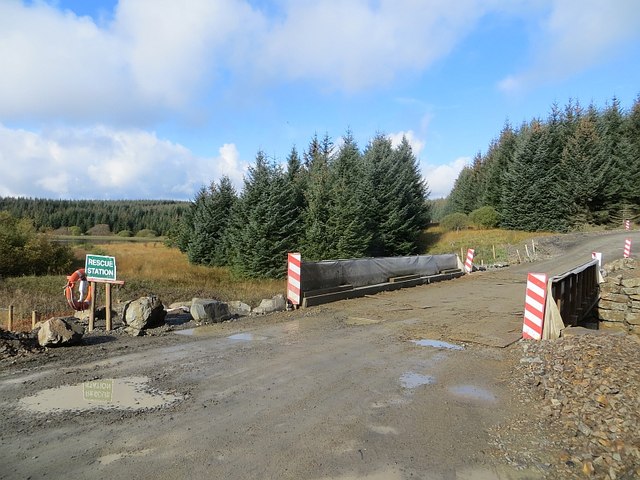
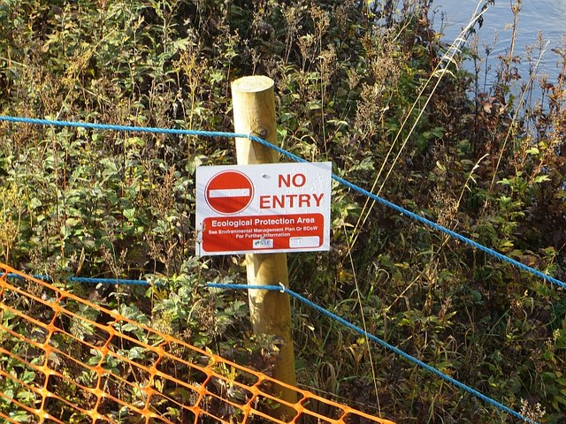
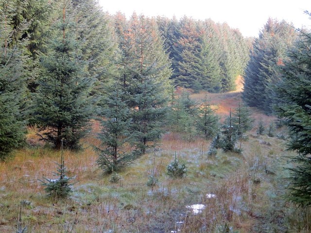
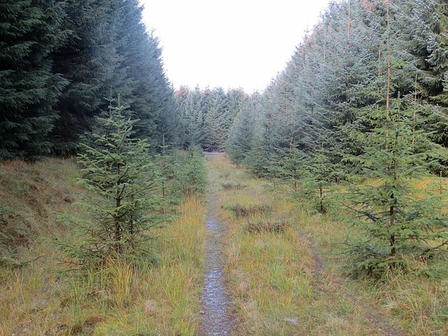
Shaws Upper Loch Images

Images are sourced within 2km of 55.460121/-2.9713772 or Grid Reference NT3818. Thanks to Geograph Open Source API. All images are credited.

Overgrown borrow pit Hyndhope Forest.
Overgrown borrow pit
Hyndhope Forest.
Ride, Hyndhope Forest A rare break in the trees in Hyndhope Forest. The northern most track shown on the Ordnance Survey 1:25,000 map is just a rough grass ride.
Ride, Hyndhope Forest
A rare break in the trees in Hyndhope Forest. The northern most track shown on the Ordnance Survey 1:25,000 map is just a rough grass ride.
Clearing, Hyndhope Forest An unplanted bit of ground beside Potloch Sike.
Clearing, Hyndhope Forest
An unplanted bit of ground beside Potloch Sike.
Crossroads, Shiel Knowe Logging roads in Hyndhope Forest.  The red sign is a path diversion off a wind farm construction route from Alemoor Loch. Being a Saturday, I used the road.
Crossroads, Shiel Knowe
Logging roads in Hyndhope Forest. The red sign is a path diversion off a wind farm construction route from Alemoor Loch. Being a Saturday, I used the road.
Road and ride, Hyndhope Forest Oh the scenery!
Road and ride, Hyndhope Forest
Oh the scenery!
Ride, Hyndhope Forest There is a rough track up along the ride.
Ride, Hyndhope Forest
There is a rough track up along the ride.
Road, Hyndhope Forest
Wind farm road, Hyndhope Forest Other than parked up fishermen, deserted on a Saturday.
Wind farm road, Hyndhope Forest
Other than parked up fishermen, deserted on a Saturday.
New bridge, Hyndhope Near Shaws Upper Loch (background). The bridge augments the older one which is not up to wind farm construction traffic.

Note the life saving equipment for  a tiny burn.
New bridge, Hyndhope
Near Shaws Upper Loch (background). The bridge augments the older one which is not up to wind farm construction traffic. Note the life saving equipment for a tiny burn.
No entry "Ecological protection area" beside a more or less uncrossable bog.  Normally I only show the back of keep out signs here, but this one gets through on the grounds that it shows that wind farmers really care about the environment.
No entry
"Ecological protection area" beside a more or less uncrossable bog. Normally I only show the back of keep out signs here, but this one gets through on the grounds that it shows that wind farmers really care about the environment.
Self seeded spruce Sitka takeover on a rather little used and decommissioned logging road in Hyndhope Forest.
Self seeded spruce
Sitka takeover on a rather little used and decommissioned logging road in Hyndhope Forest.
Decommissioned logging road Wind farm traffic is deterred by a ditch / water bar dug across the track at the junction with the main construction road. Seeing little traffic, the road is becoming overgrown.
Decommissioned logging road
Wind farm traffic is deterred by a ditch / water bar dug across the track at the junction with the main construction road. Seeing little traffic, the road is becoming overgrown.
Gildiesgreen A new embankment cuts out a bend and bridge on the access route to Langhope Rig wind farm.
Gildiesgreen
A new embankment cuts out a bend and bridge on the access route to Langhope Rig wind farm.
Ride, Hyndhope Forest There are silt traps on the ride to catch runoff from the wind farm road.
Ride, Hyndhope Forest
There are silt traps on the ride to catch runoff from the wind farm road.
Road, Hyndhope Forest The road had been widened for wind farm construction.
Road, Hyndhope Forest
The road had been widened for wind farm construction.
Road, Hyndhope Forest A little used spur road awaits the time it will be used to cart out felled timber.
Road, Hyndhope Forest
A little used spur road awaits the time it will be used to cart out felled timber.
Hyndhope Forest And if you gaze long enough into the Sitka, the Sitka will gaze back into you.
Hyndhope Forest
And if you gaze long enough into the Sitka, the Sitka will gaze back into you.
Road, Hyndhope Forest
Show me another place!

Shaws Upper Loch is located at Grid Ref: NT3818 (Lat: 55.460121, Lng: -2.9713772)

Unitary Authority: The Scottish Borders

Police Authority: The Lothians and Scottish Borders

What 3 Words

///heads.intervene.gazed. Near Ettrick, Scottish Borders

Nearby Locations

Shaws Upper Loch

Related Wikis

Alemoor Loch

Alemoor Loch, also known as Alemoor Reservoir, is a small reservoir in the Scottish Borders area of Scotland. It is situated on the Ale Water, 10 kilometres...

Selkirkshire

Selkirkshire or the County of Selkirk (Scottish Gaelic: Siorrachd Shalcraig) is a historic county and registration county of Scotland. It borders Peeblesshire...

Ettrickbridge

Ettrickbridge (Scottish Gaelic: Drochaid Eadaraig) is a village situated in the Scottish Borders region of Scotland, 7 miles (11 km) from the nearby town...

Kirkhope Tower

Kirkhope Tower is a Scottish Pele, located in the Ettrick Valley, in the historic county of Selkirkshire, now a division of the Scottish Borders. The tower...

Roberton, Scottish Borders

Roberton is a small village in the Scottish Borders area of Scotland, on the B711 and near to the A7, 5 miles (8 kilometres) from Hawick, 22 mi (35 km...

Burnfoot, Roberton

Burnfoot (Scottish Gaelic: Bun na h-Aibhne) is a hamlet in the Scottish Borders area of Scotland, close to Roberton, by the Borthwick Water. The nearest...

Oakwood Roman Fort and Camp

Oakwood Roman Fort and Camp is a British archaeological site, a Roman fort and nearby Roman camp, about 3.5 miles (5.6 km) south-west of Selkirk in the...

Harden Castle

Harden Castle is a 16th century tower house, about 3.5 miles (5.6 km) west of Hawick, Scottish Borders. It is alternatively known as Harden House or Harden...

Have you been to Shaws Upper Loch?

Leave your review of Shaws Upper Loch below (or comments, questions and feedback).