Clog Pool

Lake, Pool, Pond, Freshwater Marsh in Cumberland Carlisle

England

Clog Pool

Field gateway on west side of minor road to Batenbush
Field gateway on west side of minor road to Batenbush Credit: Roger Templeman

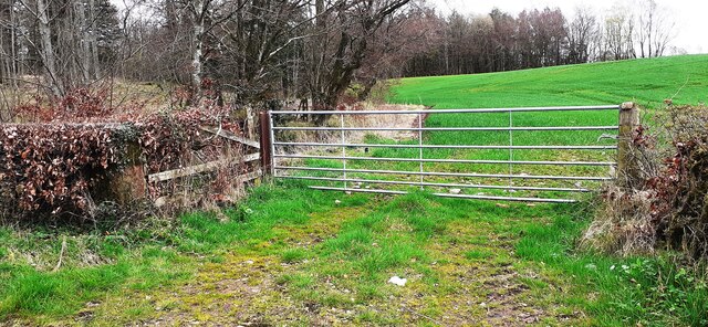
Clog Pool is a picturesque freshwater marsh located in Cumberland, England. Situated near the tranquil village of Clog, the pool covers an area of approximately 10 acres and is surrounded by lush greenery, creating a serene and idyllic setting.

This natural body of water is a popular attraction for both locals and tourists due to its diverse ecosystem and abundant wildlife. The pool itself is relatively shallow, with an average depth of around 3 feet, allowing for easy exploration and observation of its inhabitants.

Clog Pool is home to a rich variety of plant and animal species, making it an important ecological site. The marshy terrain supports a vibrant community of aquatic vegetation, including reeds, rushes, and water lilies, which provide shelter and food sources for numerous species of birds, insects, and amphibians.

Birdwatchers flock to Clog Pool to witness the diverse array of avian life that frequents the area. Common sightings include great crested grebes, tufted ducks, and teal, among many others. The pool also serves as a breeding ground for various waterfowl species, making it a crucial habitat for their survival.

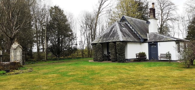
Visitors to Clog Pool can enjoy peaceful walks along the designated footpaths that meander through the surrounding woodland. The tranquil atmosphere and stunning natural scenery provide an ideal location for relaxation and contemplation.

Overall, Clog Pool offers a unique and enchanting experience for nature enthusiasts and those seeking solace in the beauty of the natural world. Its abundant wildlife and serene environment make it a must-visit destination for anyone exploring the Cumberland region.

If you have any feedback on the listing, please let us know in the comments section below.
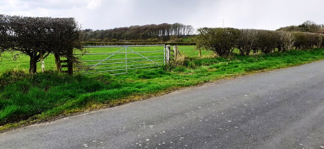
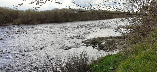
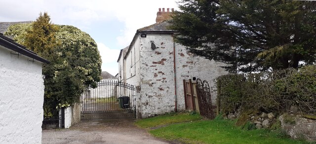
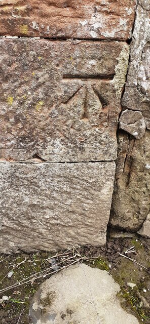
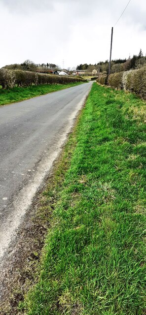
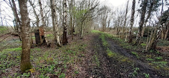
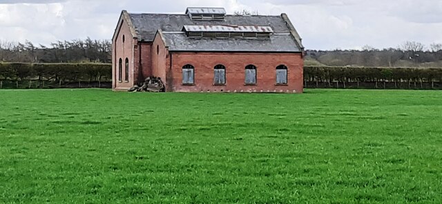
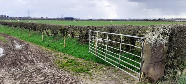
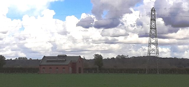
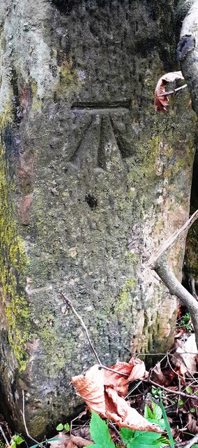
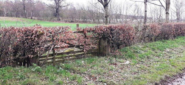
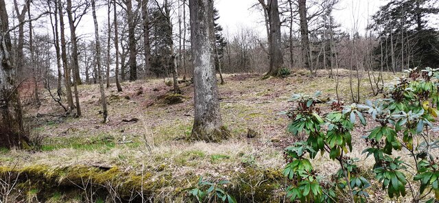
Clog Pool Images

Images are sourced within 2km of 55.023743/-2.9766075 or Grid Reference NY3770. Thanks to Geograph Open Source API. All images are credited.

Field gateway on west side of minor road to Batenbush
River Esk from its NW bank
Gated entrance to buildings at Oakbank
Benchmark on farm building at Oakbank Ordnance Survey cut mark benchmark levelled at 14.613m above Newlyn Datum verified 1974
Benchmark on farm building at Oakbank
Ordnance Survey cut mark benchmark levelled at 14.613m above Newlyn Datum verified 1974
Farm buildings at Oakbank There is an Ordnance Survey benchmark <a href="https://www.geograph.org.uk/photo/7142707">NY3670 : Benchmark on farm building at Oakbank</a> on the corner, road face, of the nearest building at the junction with stone wall
Farm buildings at Oakbank
There is an Ordnance Survey benchmark NY3670 : Benchmark on farm building at Oakbank on the corner, road face, of the nearest building at the junction with stone wall
Road and stream at Oakbank Bridge The bridge parapet has 1936 date carved on its road face
Road and stream at Oakbank Bridge
The bridge parapet has 1936 date carved on its road face
Milestone Carlisle 10 miles on SE side of A7 The milestone has an Ordnance Survey pivot benchmark levelled at 17.100m above Newlyn Datum verified in 1974 on its top. The 1888-1913 OS 6" Map shows the benchmark at 55.8 feet (17.0m) above Liverpool Datum
Milestone Carlisle 10 miles on SE side of A7
The milestone has an Ordnance Survey pivot benchmark levelled at 17.100m above Newlyn Datum verified in 1974 on its top. The 1888-1913 OS 6" Map shows the benchmark at 55.8 feet (17.0m) above Liverpool Datum
Old milestone on SE side of A7 SW of Batenbush junction <a href="https://www.geograph.org.uk/photo/7142752">NY3770 : Milestone Carlisle 10 miles on SE side of A7</a> shows a front view of the milestone
Old milestone on SE side of A7 SW of Batenbush junction
NY3770 : Milestone Carlisle 10 miles on SE side of A7 shows a front view of the milestone
Rural NW road towards Batenbush
Footpath through wood between A7 and River Esk On tracked of former North British Railway from Carlsle to Edinburgh. The brick structure could be the fireplace of a platelayers hut?
Footpath through wood between A7 and River Esk
On tracked of former North British Railway from Carlsle to Edinburgh. The brick structure could be the fireplace of a platelayers hut?
Former pumping station in field on SE side of A7
Field gateway and sheep pasture on SE side of A7
Former pumping station and electricity pylon in field on SE side of A7 Snow-bearing clouds overhead
Former pumping station and electricity pylon in field on SE side of A7
Snow-bearing clouds overhead
Benchmark on gatepost at gateway on SE side of road near Slackbraes Wood Ordnance Survey cut mark benchmark levelled at 23.360m above Newlyn Datum verified 1955
Benchmark on gatepost at gateway on SE side of road near Slackbraes Wood
Ordnance Survey cut mark benchmark levelled at 23.360m above Newlyn Datum verified 1955
Field gateway on SE side of rural road west of Slackbraes Wood There is an Ordnance Survey benchmark <a href="https://www.geograph.org.uk/photo/7148236">NY3870 : Benchmark on gatepost at gateway on SE side of road near Slackbraes Wood</a> on the road face of the right hand gatepost of the now disused gateway
Field gateway on SE side of rural road west of Slackbraes Wood
There is an Ordnance Survey benchmark NY3870 : Benchmark on gatepost at gateway on SE side of road near Slackbraes Wood on the road face of the right hand gatepost of the now disused gateway
Looking into Slackbraes Wood over Jean's Sike
Field gateway at SE edge of Slackbraes Wood Ordnance Survey records indicate that a benchmark levelled at  24.088m above Newlyn Datum was verified in 1955 on a gatepost at this gateway which appears to have been remodelled since
Field gateway at SE edge of Slackbraes Wood
Ordnance Survey records indicate that a benchmark levelled at 24.088m above Newlyn Datum was verified in 1955 on a gatepost at this gateway which appears to have been remodelled since
First Lodge, Netherby Park
Show me another place!

Clog Pool is located at Grid Ref: NY3770 (Lat: 55.023743, Lng: -2.9766075)

Administrative County: Cumbria

District: Carlisle

Police Authority: Cumbria

What 3 Words

///breakfast.kitchen.verve. Near Longtown, Cumbria

Nearby Locations

Clog Pool Pyotnook Pool

Related Wikis

Longtown railway station

Longtown railway station served the town of Longtown, Cumbria, England, from 1861 to 1970 on the Waverley Route. == History == The station opened on 29...

Kirkandrews-on-Esk

Kirkandrews (also known as Kirkandrews-on-Esk distinguishing it from Kirkandrews-on-Eden), is a civil parish in City of Carlisle district, Cumbria, England...

Coop House, Netherby

Coop House, near Netherby in Cumbria, England, is a small building by the River Esk, erected about 1772 as part of a salmon fishery project, and restored...

Longtown, Cumbria

Longtown is a market town in Cumbria, England, just south of the Scottish Border. It has a sheep market which was at the centre of the 2001 United Kingdom...

Scotch Dyke railway station

Scotch Dyke railway station was a railway station in Cumberland close to the Scots' Dike, the traditional border with Scotland. == History == The station...

2020s in United Kingdom political history

2020s political history refers to significant political and societal historical events in the United Kingdom in the 2020s, presented as a historical overview...

United Kingdom

The United Kingdom of Great Britain and Northern Ireland, commonly known as the United Kingdom (UK) or Britain, is a country in Northwestern Europe, off...

Liddel Water

Liddel Water is a river running through southern Scotland and northern England, for much of its course forming the border between the two countries, and...

Nearby Amenities

Located within 500m of 55.023743,-2.9766075
Parking
Source: survey
Lat/Long: 55.0259662/-2.9770589
The data included in this document is from www.openstreetmap.org. The data is made available under ODbL.

Have you been to Clog Pool?

Leave your review of Clog Pool below (or comments, questions and feedback).