Scar Pool

Lake, Pool, Pond, Freshwater Marsh in Dumfriesshire

Scotland

Scar Pool

The Tarras Water Looking upstream from the B6318 bridge over, with about 800 m to go before it joins the River Esk.
The Tarras Water Credit: M J Richardson

Scar Pool is a picturesque freshwater body located in Dumfriesshire, Scotland. Situated within a natural landscape of rolling hills and lush greenery, this small yet charming lake is a popular destination for nature enthusiasts and outdoor adventurers alike.

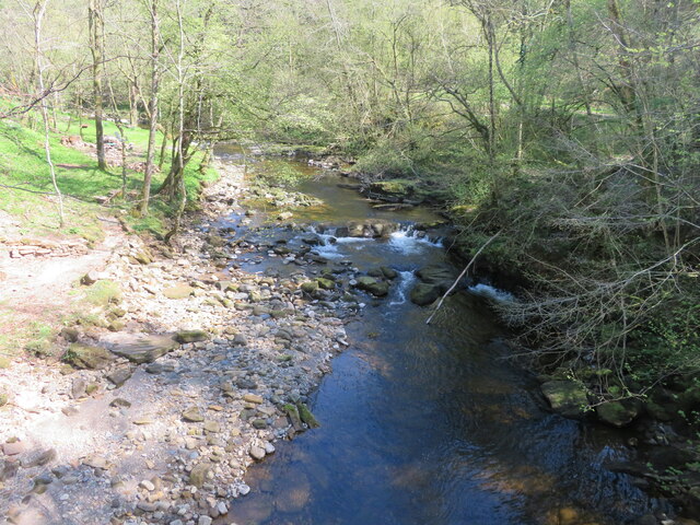
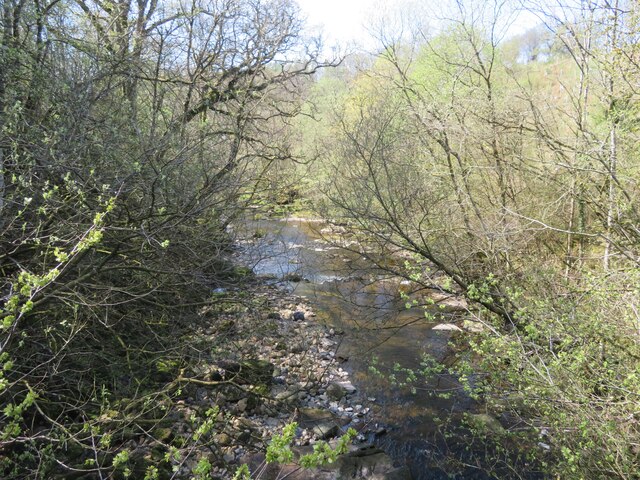
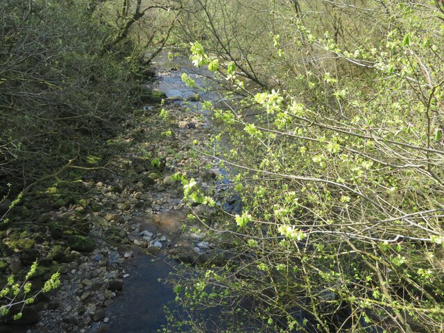
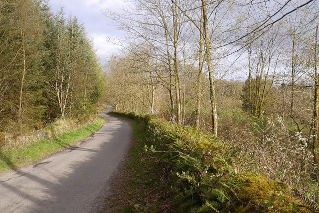
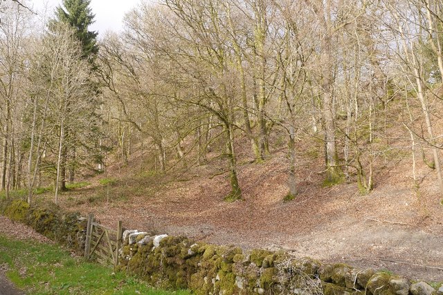
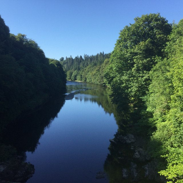
Covering an area of approximately 10 acres, Scar Pool is known for its crystal-clear waters, which are fed by several small streams flowing down from the surrounding hills. The lake has a maximum depth of around 15 feet and is surrounded by a mix of woodland and grassy banks. These provide ample opportunities for visitors to explore the diverse flora and fauna that thrive in this habitat.

The pool is home to a variety of aquatic plants, including water lilies and reeds, which add to its scenic beauty. These plants provide shelter and food for a range of wildlife, making Scar Pool a haven for birdwatchers. Visitors can spot a multitude of bird species, such as mallards, coots, and swans, as well as occasional sightings of herons and kingfishers.

Moreover, Scar Pool offers a tranquil setting for fishing enthusiasts. The lake is known for its healthy population of brown trout, providing anglers with a chance to test their skills. Fishing permits can be obtained locally, and the serene surroundings make for a truly enjoyable angling experience.

Overall, Scar Pool's natural beauty, diverse wildlife, and recreational opportunities make it a must-visit destination for those seeking a peaceful retreat in the heart of Dumfriesshire.

If you have any feedback on the listing, please let us know in the comments section below.

Scar Pool Images

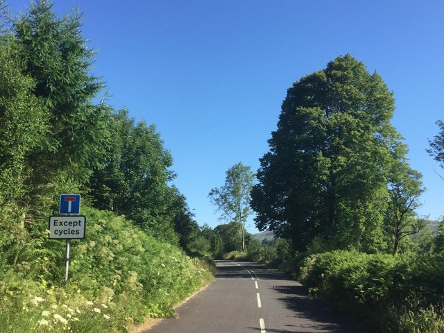
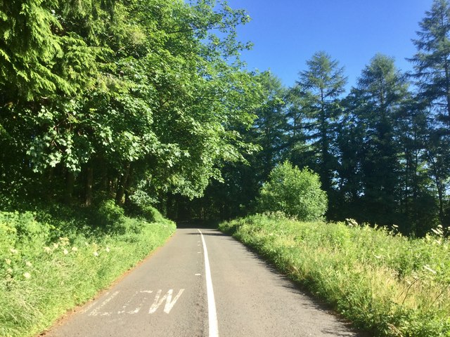
Images are sourced within 2km of 55.122916/-2.9847033 or Grid Reference NY3781. Thanks to Geograph Open Source API. All images are credited.

The Tarras Water Looking upstream from the B6318 bridge over, with about 800 m to go before it joins the River Esk.
The Tarras Water
Looking upstream from the B6318 bridge over, with about 800 m to go before it joins the River Esk.
The Tarras Water Looking downstream from the B6318 bridge over, with about 800 m to go before it joins the River Esk.
The Tarras Water
Looking downstream from the B6318 bridge over, with about 800 m to go before it joins the River Esk.
The Tarras Water Looking downstream from the B6318 bridge over, with about 800 m to go before it joins the River Esk. The light green on the nearby twigs are fruits of an overhanging Elm.
The Tarras Water
Looking downstream from the B6318 bridge over, with about 800 m to go before it joins the River Esk. The light green on the nearby twigs are fruits of an overhanging Elm.
A7 towards Langholm
A7 towards Langholm
B6318 The B6318 has been closed for a long time, but this bit was accessible from Langholm.  We have family connections here so were having a quick look around during a long journey home.
B6318
The B6318 has been closed for a long time, but this bit was accessible from Langholm. We have family connections here so were having a quick look around during a long journey home.
Beechwood near Langholm Woodland between road and the Waverley Line trackbed.
Beechwood near Langholm
Woodland between road and the Waverley Line trackbed.
River Esk Downstream of Skipper’s Bridge.
River Esk
Downstream of Skipper’s Bridge.
The old A7 Now replaced by a wide and straight route above, this is the former alignment near the Esk, downstream of Langholm. Some of the old road is accessible as a through loop, this bit narrows to a path at the north end.
The old A7
Now replaced by a wide and straight route above, this is the former alignment near the Esk, downstream of Langholm. Some of the old road is accessible as a through loop, this bit narrows to a path at the north end.
Old A7 Now a loop road below the modern alignment south of Langholm.
Old A7
Now a loop road below the modern alignment south of Langholm.
Road closed because of subsidence
Road (B6318) at Upper Mumbie Looking north-westward.
Road (B6318) at Upper Mumbie
Looking north-westward.
Ordnance Survey Cut Mark This mark can be found on the wall of a roadside building at Upper Mumbie Farm. The benchmark height is recorded as being 102.927 metres above sea level.
For more detail see : <span class="nowrap"><a title="https://www.bench-marks.org.uk/bm43287" rel="nofollow ugc noopener" href="https://www.bench-marks.org.uk/bm43287">Link</a><img style="margin-left:2px;" alt="External link" title="External link - shift click to open in new window" src="https://s1.geograph.org.uk/img/external.png" width="10" height="10"/></span>
Ordnance Survey Cut Mark
This mark can be found on the wall of a roadside building at Upper Mumbie Farm. The benchmark height is recorded as being 102.927 metres above sea level. For more detail see : LinkExternal link
Upper Mumbie, Farm Building Farm building at Upper Mumbie Farm, named as Upper Mumbiehirst on maps prior to the mid-1950's. There is an OS cut benchmark on this building - <span class="nowrap"><a title="https://www.bench-marks.org.uk/bm43287" rel="nofollow ugc noopener" href="https://www.bench-marks.org.uk/bm43287">Link</a><img style="margin-left:2px;" alt="External link" title="External link - shift click to open in new window" src="https://s1.geograph.org.uk/img/external.png" width="10" height="10"/></span>
Upper Mumbie, Farm Building
Farm building at Upper Mumbie Farm, named as Upper Mumbiehirst on maps prior to the mid-1950's. There is an OS cut benchmark on this building - LinkExternal link
Benchmark at Upper Mumbie Ordnance Survey benchmark on a farm building at Upper Mumbie Farm - <span class="nowrap"><a title="https://www.bench-marks.org.uk/bm43287" rel="nofollow ugc noopener" href="https://www.bench-marks.org.uk/bm43287">Link</a><img style="margin-left:2px;" alt="External link" title="External link - shift click to open in new window" src="https://s1.geograph.org.uk/img/external.png" width="10" height="10"/></span>
Benchmark at Upper Mumbie
Ordnance Survey benchmark on a farm building at Upper Mumbie Farm - LinkExternal link
Flowers by the A7 Spare ground between the new and old A7.
Flowers by the A7
Spare ground between the new and old A7.
Between old and new Partly wooded land between the new A7 and the older alignment by Haggs.
Between old and new
Partly wooded land between the new A7 and the older alignment by Haggs.
A7 southbound nears the Auchenrivock turn
Show me another place!

Scar Pool is located at Grid Ref: NY3781 (Lat: 55.122916, Lng: -2.9847033)

Unitary Authority: Dumfries and Galloway

Police Authority: Dumfries and Galloway

What 3 Words

///mills.hardening.solve. Near Langholm, Dumfries & Galloway

Related Wikis

Glencartholm

Glencartholm is a location in Dumfries and Galloway, southern Scotland, along the River Esk. The Glencartholm Volcanic Beds contain a Palaeozoic (specifically...
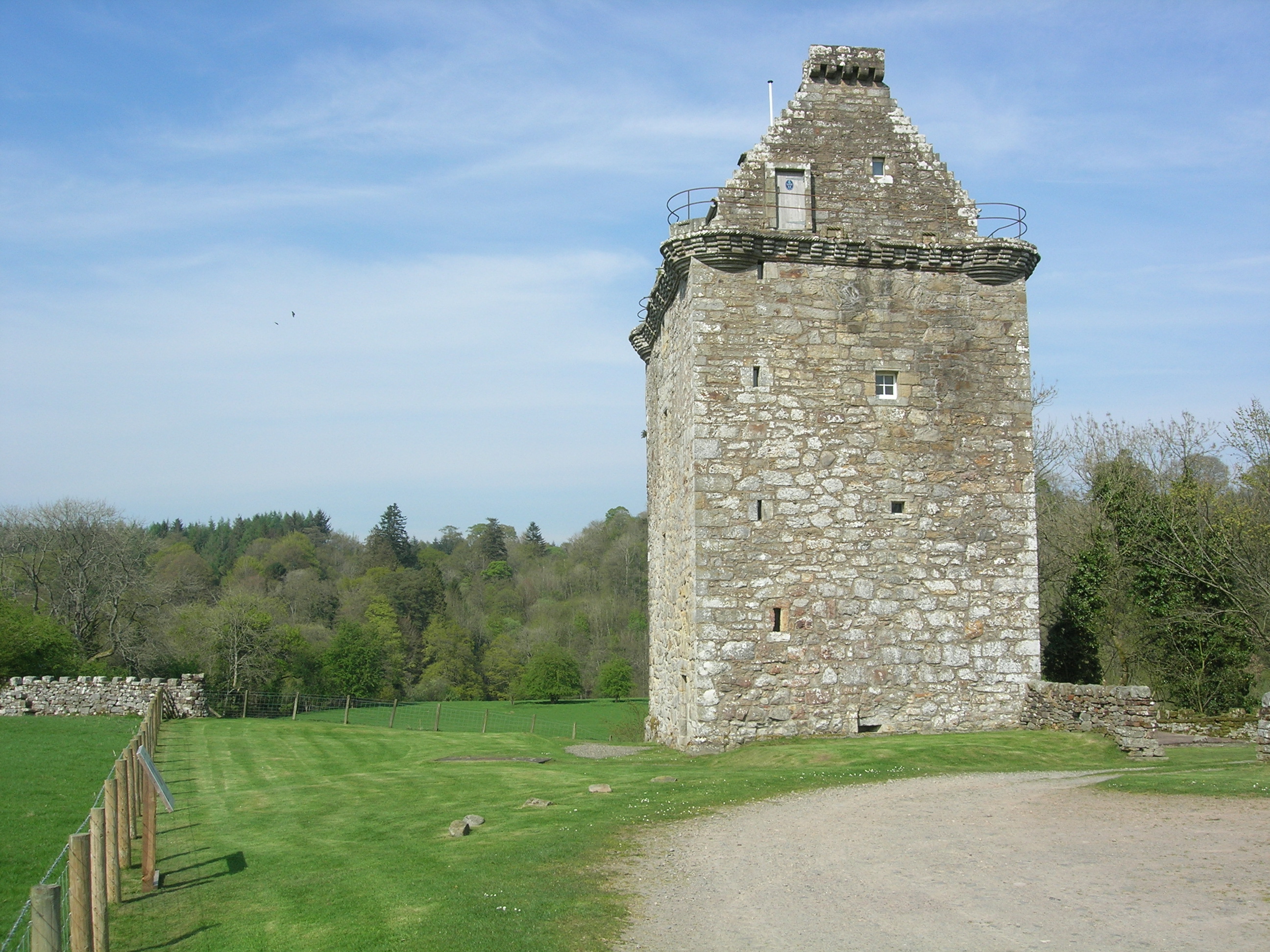
Gilnockie Tower

Gilnockie Tower is a 16th-century tower house, located at the hamlet of Hollows, 2.3 km north of Canonbie, in Dumfriesshire, south-west Scotland. The tower...

Langholm railway station

Langholm railway station served the burgh of Langholm, Dumfries and Galloway, Scotland from 1864 to 1967 on the Border Union Railway. == History == The...

Wauchope Castle

Wauchope Castle was a castle located at Wauchope, in Dumfries and Galloway, Scotland. The castle was a stronghold of the Lindsay family. It was the caput...

Nearby Amenities

Located within 500m of 55.122916,-2.9847033
Power: pole
Lat/Long: 55.1219911/-2.9783
Power: pole
Lat/Long: 55.122669/-2.9793783
Power: pole
Lat/Long: 55.1233285/-2.9804351
Power: pole
Lat/Long: 55.1241874/-2.9803331
Power: pole
Lat/Long: 55.1251229/-2.9802259
Power: pole
Lat/Long: 55.1261075/-2.9801025
Broomholm
Place: locality
Lat/Long: 55.1262537/-2.9853847
Power: pole
Lat/Long: 55.1261794/-2.9807755
Power: pole
Lat/Long: 55.1263178/-2.9817926
Power: pole
Lat/Long: 55.1264076/-2.9826063
Power: pole
Lat/Long: 55.126521/-2.9834354
The data included in this document is from www.openstreetmap.org. The data is made available under ODbL.

Have you been to Scar Pool?

Leave your review of Scar Pool below (or comments, questions and feedback).