The Wash

Lake, Pool, Pond, Freshwater Marsh in Dumfriesshire

Scotland

The Wash

The Tarras Water Looking upstream from the B6318 bridge over, with about 800 m to go before it joins the River Esk.
The Tarras Water Credit: M J Richardson

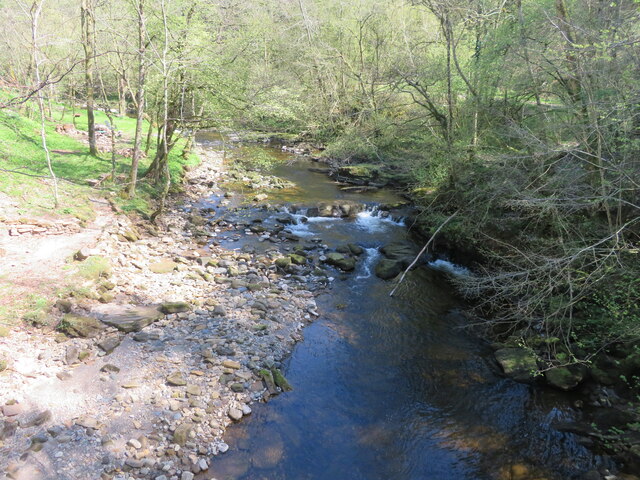
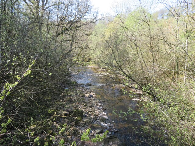
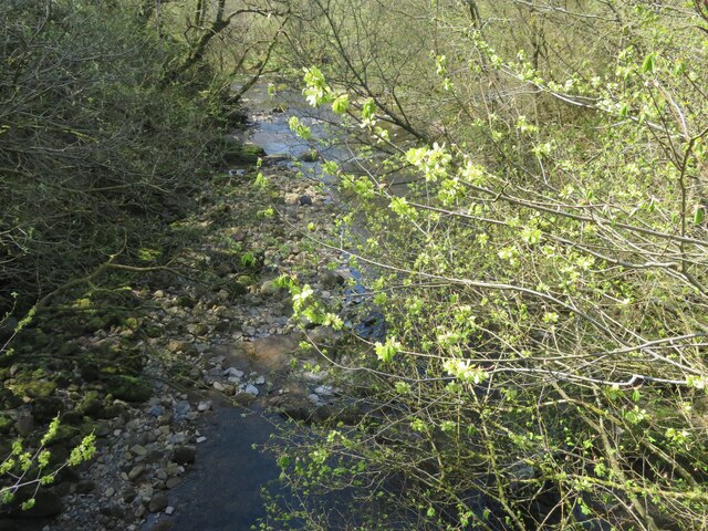
The Wash, located in Dumfriesshire, Scotland, is a picturesque freshwater marsh that spans over a sprawling area. Nestled amidst the serene landscapes, this natural marvel offers a diverse range of aquatic habitats, including a lake, pool, pond, and freshwater marsh.

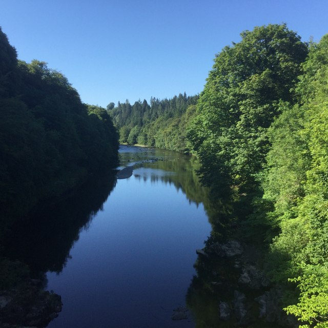
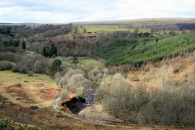
The centerpiece of The Wash is the lake, which stretches across a considerable expanse, reflecting the surrounding greenery and sky in its tranquil waters. The lake serves as a vital water source for various flora and fauna, attracting a myriad of species. Its calm surface often hosts a variety of waterfowl, including ducks, geese, and swans, creating a captivating spectacle for nature enthusiasts.

Adjacent to the lake, a pool emerges, offering a distinct habitat for aquatic life. The pool's shallow and clear waters provide an ideal breeding ground for small fish, amphibians, and invertebrates. This, in turn, entices a range of birds and mammals that rely on these organisms as a food source.

Further into The Wash, a smaller pond can be found, characterized by its still and reflective surface. The pond provides a sanctuary for an abundance of aquatic plants, including lilies and reeds, which create an idyllic environment for amphibians and insects to thrive.

Lastly, The Wash boasts a freshwater marsh, a vibrant ecosystem teeming with plant and animal life. The marsh is characterized by its lush vegetation, including sedges, rushes, and grasses, which provide shelter and sustenance for numerous bird species and small mammals.

In conclusion, The Wash in Dumfriesshire is a diverse and captivating natural site, encompassing a lake, pool, pond, and freshwater marsh. Its varying aquatic habitats support a rich array of flora and fauna, making it a haven for both wildlife and nature enthusiasts alike.

If you have any feedback on the listing, please let us know in the comments section below.
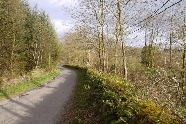
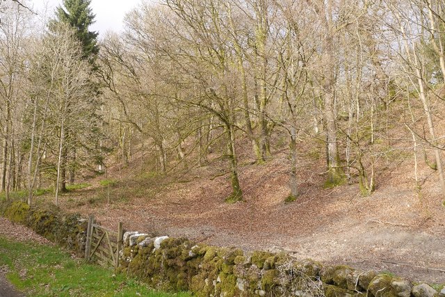
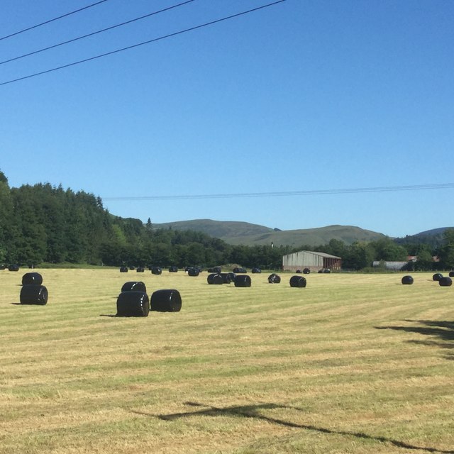
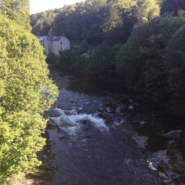
The Wash Images

Images are sourced within 2km of 55.127849/-2.9869733 or Grid Reference NY3781. Thanks to Geograph Open Source API. All images are credited.

The Tarras Water Looking upstream from the B6318 bridge over, with about 800 m to go before it joins the River Esk.
The Tarras Water
Looking upstream from the B6318 bridge over, with about 800 m to go before it joins the River Esk.
The Tarras Water Looking downstream from the B6318 bridge over, with about 800 m to go before it joins the River Esk.
The Tarras Water
Looking downstream from the B6318 bridge over, with about 800 m to go before it joins the River Esk.
The Tarras Water Looking downstream from the B6318 bridge over, with about 800 m to go before it joins the River Esk. The light green on the nearby twigs are fruits of an overhanging Elm.
The Tarras Water
Looking downstream from the B6318 bridge over, with about 800 m to go before it joins the River Esk. The light green on the nearby twigs are fruits of an overhanging Elm.
A7 towards Langholm
A7 towards Langholm
B6318 The B6318 has been closed for a long time, but this bit was accessible from Langholm.  We have family connections here so were having a quick look around during a long journey home.
B6318
The B6318 has been closed for a long time, but this bit was accessible from Langholm. We have family connections here so were having a quick look around during a long journey home.
Beechwood near Langholm Woodland between road and the Waverley Line trackbed.
Beechwood near Langholm
Woodland between road and the Waverley Line trackbed.
Round bales near Langholm Wrapped silage beside the Esk.
Round bales near Langholm
Wrapped silage beside the Esk.
River Esk, Langholm Upstream from Skipper’s Bridge.
River Esk, Langholm
Upstream from Skipper’s Bridge.
River Esk Downstream of Skipper’s Bridge.
River Esk
Downstream of Skipper’s Bridge.
The old A7 Now replaced by a wide and straight route above, this is the former alignment near the Esk, downstream of Langholm. Some of the old road is accessible as a through loop, this bit narrows to a path at the north end.
The old A7
Now replaced by a wide and straight route above, this is the former alignment near the Esk, downstream of Langholm. Some of the old road is accessible as a through loop, this bit narrows to a path at the north end.
Cemetery Road, Langholm Winds its way up to the cemetery from the A7 near Skipper’s Bridge.
Cemetery Road, Langholm
Winds its way up to the cemetery from the A7 near Skipper’s Bridge.
Old A7 Now a loop road below the modern alignment south of Langholm.
Old A7
Now a loop road below the modern alignment south of Langholm.
Road closed because of subsidence
The Tarras Water Viewed in early March from the northwest side of Tarrasfoot Hill with the site of the Roman fort on Broomholm Knowe at the field in the background beyond the trees. For a closer view of Broomholm Fort, see <a href="https://www.geograph.org.uk/photo/2125537">NY3781 : Broomholm Roman Fort</a>.
The Tarras Water
Viewed in early March from the northwest side of Tarrasfoot Hill with the site of the Roman fort on Broomholm Knowe at the field in the background beyond the trees. For a closer view of Broomholm Fort, see NY3781 : Broomholm Roman Fort.
Langholm Round House This folly was originally a summer house built by George Maxwell of Broomholm and was used between 1833 and 1884. It soon became vandalised and is now roofless with the door and window bricked up.
Langholm Round House
This folly was originally a summer house built by George Maxwell of Broomholm and was used between 1833 and 1884. It soon became vandalised and is now roofless with the door and window bricked up.
Dismantled railway's bridge abutment The bridge carried a branch of The Waverley Line (that ran between Carlisle and Edinburgh) to Langholm; a section of the embankment beyond the bridge is visible. The road is the B6318 that leaves the A7 at Skipper Bridge and continues to Greenhead on the A69.
Dismantled railway's bridge abutment
The bridge carried a branch of The Waverley Line (that ran between Carlisle and Edinburgh) to Langholm; a section of the embankment beyond the bridge is visible. The road is the B6318 that leaves the A7 at Skipper Bridge and continues to Greenhead on the A69.
Looking north-northwest along the B6318 The track to the left leads to Mumbie Cottages.
Looking north-northwest along the B6318
The track to the left leads to Mumbie Cottages.
Show me another place!

The Wash is located at Grid Ref: NY3781 (Lat: 55.127849, Lng: -2.9869733)

Unitary Authority: Dumfries and Galloway

Police Authority: Dumfries and Galloway

What 3 Words

///valid.friction.readjust. Near Langholm, Dumfries & Galloway

Related Wikis

Langholm railway station

Langholm railway station served the burgh of Langholm, Dumfries and Galloway, Scotland from 1864 to 1967 on the Border Union Railway. == History == The...

Battle of Arkinholm

The Battle of Arkinholm was fought on 1 May 1455, at Arkinholm near Langholm in Scotland, during the reign of King James II of Scotland. Although a small...

Langholm Town Hall

Langholm Town Hall is a municipal building in the High Street in Langholm, Dumfries and Galloway, Scotland. The structure, which is used as a community...

Wauchope Castle

Wauchope Castle was a castle located at Wauchope, in Dumfries and Galloway, Scotland. The castle was a stronghold of the Lindsay family. It was the caput...

Nearby Amenities

Located within 500m of 55.127849,-2.9869733
Whitewater Rapid Grade: 3
Whitewater Rapid Name: Dog Island
Lat/Long: 55.1295418/-2.9820724
Power: pole
Lat/Long: 55.1289259/-2.9941069
Power: pole
Lat/Long: 55.1281683/-2.9939085
Power: pole
Lat/Long: 55.1274015/-2.9936831
Power: pole
Lat/Long: 55.1266225/-2.9935008
Power: pole
Lat/Long: 55.1261075/-2.9801025
Power: pole
Lat/Long: 55.1269295/-2.9800166
Power: pole
Lat/Long: 55.1277454/-2.9793622
Broomholm
Place: locality
Lat/Long: 55.1262537/-2.9853847
Ford: yes
Lat/Long: 55.1298502/-2.9934031
Power: pole
Lat/Long: 55.1261794/-2.9807755
Power: pole
Lat/Long: 55.1263178/-2.9817926
Power: pole
Lat/Long: 55.1264076/-2.9826063
Power: pole
Lat/Long: 55.126521/-2.9834354
Power: pole
Lat/Long: 55.1315043/-2.9897286
Power: pole
Lat/Long: 55.1309861/-2.989332
The data included in this document is from www.openstreetmap.org. The data is made available under ODbL.

Have you been to The Wash?

Leave your review of The Wash below (or comments, questions and feedback).