Sowie's Pot

Lake, Pool, Pond, Freshwater Marsh in Dumfriesshire

Scotland

Sowie's Pot

Spire, bridge and tree in Langholm
Spire, bridge and tree in Langholm Credit: Peter Moore

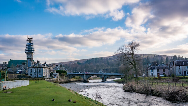
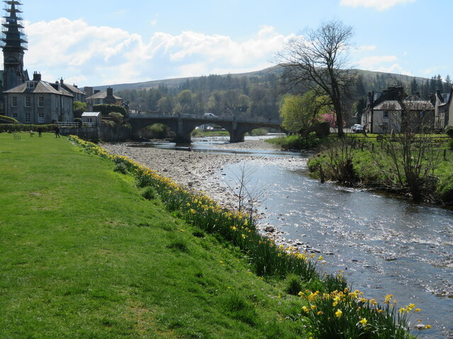
Sowie's Pot, located in Dumfriesshire, Scotland, is a picturesque freshwater marsh encompassing a lake, pool, pond, and marshland. Spanning an area of approximately 2 hectares, this natural habitat boasts a diverse range of flora and fauna, making it a haven for nature enthusiasts and wildlife enthusiasts alike.

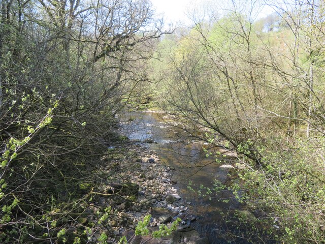
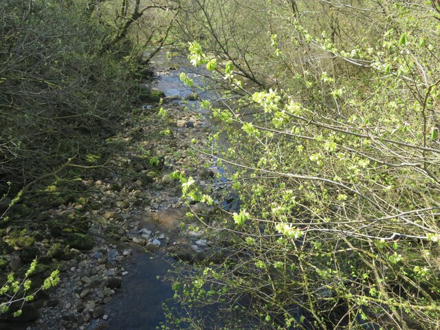
The centerpiece of Sowie's Pot is the tranquil lake, which is fed by several small streams and springs. The lake is characterized by its crystal-clear waters and serves as a vital water source for the surrounding marshland. It provides a thriving environment for various aquatic species, including fish, waterfowl, and amphibians.

Adjacent to the lake lies a small pool, which forms a distinct habitat within Sowie's Pot. This shallow body of water is abundant in aquatic plants, such as water lilies and reeds, providing shelter and food for a myriad of insects and small invertebrates. Additionally, the pool acts as a breeding ground for frogs and toads during the mating season.

Surrounding the lake and pool is a diverse freshwater marsh, characterized by its wet, nutrient-rich soil. This marshland supports a wide array of plant life, including sedges, rushes, and grasses. These plants create a lush habitat for a variety of bird species, such as ducks, swans, and herons, as well as small mammals, like voles and shrews.

Overall, Sowie's Pot in Dumfriesshire is a captivating ecosystem, combining a lake, pool, pond, and freshwater marsh. Its rich biodiversity makes it an ideal destination for nature lovers seeking to immerse themselves in Scotland's natural beauty and observe its native wildlife in their natural habitat.

If you have any feedback on the listing, please let us know in the comments section below.

Sowie's Pot Images

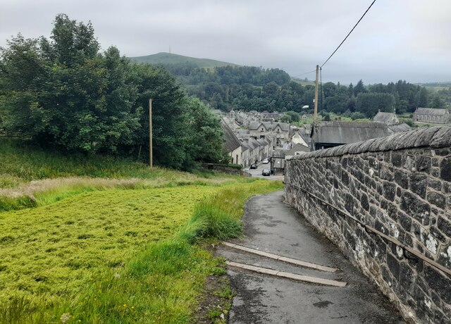
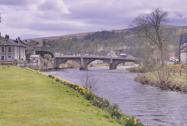
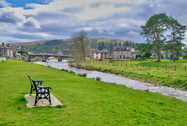
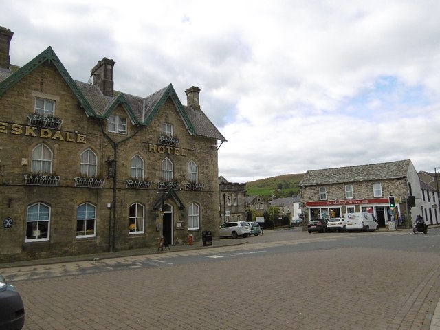
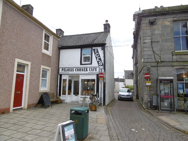
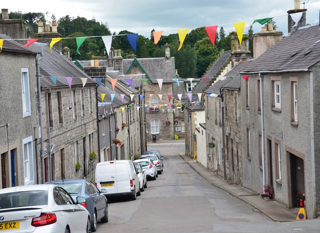
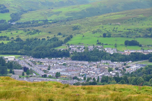
Images are sourced within 2km of 55.136454/-2.9885347 or Grid Reference NY3782. Thanks to Geograph Open Source API. All images are credited.

Spire, bridge and tree in Langholm
The confluence of the River Esk and Ewes Water The River Esk comes in from the right, by the gravel spit, and the Ewes Water, in the foreground, loses its identity as it flows under the Townhead Bridge as part of the Esk.
The confluence of the River Esk and Ewes Water
The River Esk comes in from the right, by the gravel spit, and the Ewes Water, in the foreground, loses its identity as it flows under the Townhead Bridge as part of the Esk.
The Tarras Water Looking downstream from the B6318 bridge over, with about 800 m to go before it joins the River Esk.
The Tarras Water
Looking downstream from the B6318 bridge over, with about 800 m to go before it joins the River Esk.
The Tarras Water Looking downstream from the B6318 bridge over, with about 800 m to go before it joins the River Esk. The light green on the nearby twigs are fruits of an overhanging Elm.
The Tarras Water
Looking downstream from the B6318 bridge over, with about 800 m to go before it joins the River Esk. The light green on the nearby twigs are fruits of an overhanging Elm.
Kirk Wynd View Taken from the top of Kirk Wynd looking over the town of Langholm.
Kirk Wynd View
Taken from the top of Kirk Wynd looking over the town of Langholm.
At Langholm Bridge over the river Esk
At Langholm
Bridge over the river Esk
The River Esk Langholm
The River Esk
Langholm
A7 towards Langholm
A7 towards Langholm
Eskdale Hotel, Langholm
Pelosis Corner Cafe My spell checker keeps throwing in an apostrophe which is probably correct. Centre of Langholm.
Pelosis Corner Cafe
My spell checker keeps throwing in an apostrophe which is probably correct. Centre of Langholm.
Kirk Wynd, Langholm A side road leading up from the High Street, and start of the walk up Whita Hill. The bunting is up from the Common Riding event in the last week of July.
Kirk Wynd, Langholm
A side road leading up from the High Street, and start of the walk up Whita Hill. The bunting is up from the Common Riding event in the last week of July.
Whita Road above Langholm The track up Whita Hill passes the golf course to the right.
Whita Road above Langholm
The track up Whita Hill passes the golf course to the right.
Whita Road above Langholm (2) Looking downhill towards the town.
Whita Road above Langholm (2)
Looking downhill towards the town.
Path on Whita Hill This path cuts diagonally up from Whita Road to meet the track coming up from the hill road that crosses the ridge further north.
Path on Whita Hill
This path cuts diagonally up from Whita Road to meet the track coming up from the hill road that crosses the ridge further north.
Looking north from Whita Hill Ewesdale in sunshine seen from the track by the monument to Sir John Malcolm. The marker post indicates the start of the direct descent path to Langholm.
Looking north from Whita Hill
Ewesdale in sunshine seen from the track by the monument to Sir John Malcolm. The marker post indicates the start of the direct descent path to Langholm.
Summit wall and mast, Whita Hill A contrast with the stone obelisk which towers above the summit, the communications mast is about 200m to the south.
Summit wall and mast, Whita Hill
A contrast with the stone obelisk which towers above the summit, the communications mast is about 200m to the south.
Langholm from Whita Hill summit The part of Langholm west of the River Esk seen from the summit of Whita Hill (355m).
Langholm from Whita Hill summit
The part of Langholm west of the River Esk seen from the summit of Whita Hill (355m).
Path on the west side of Whita Hill The direct path on the west side of the hill from the top of Whita Road. It passes through some disused quarries and the stone monument on the summit is a stern reminder of how much climbing remains.
Path on the west side of Whita Hill
The direct path on the west side of the hill from the top of Whita Road. It passes through some disused quarries and the stone monument on the summit is a stern reminder of how much climbing remains.
Show me another place!

Sowie's Pot is located at Grid Ref: NY3782 (Lat: 55.136454, Lng: -2.9885347)

Unitary Authority: Dumfries and Galloway

Police Authority: Dumfries and Galloway

What 3 Words

///storybook.guardian.learn. Near Langholm, Dumfries & Galloway

Related Wikis

Langholm railway station

Langholm railway station served the burgh of Langholm, Dumfries and Galloway, Scotland from 1864 to 1967 on the Border Union Railway. == History == The...

Battle of Arkinholm

The Battle of Arkinholm was fought on 1 May 1455, at Arkinholm near Langholm in Scotland, during the reign of King James II of Scotland. Although a small...

Langholm Town Hall

Langholm Town Hall is a municipal building in the High Street in Langholm, Dumfries and Galloway, Scotland. The structure, which is used as a community...

Thomas Hope Hospital

Thomas Hope Hospital is a health facility in Strand Street, Langholm, Dumfries and Galloway, Scotland. It is managed by NHS Dumfries and Galloway. ��2...

Nearby Amenities

Located within 500m of 55.136454,-2.9885347
Skippers Br
Naptan AtcoCode: 680000638111
Naptan Bearing: N
Naptan BusStopType: CUS
Naptan CommonName: Skippers Br
Naptan Indicator: Murtholm
Naptan Landmark: Cemetry Road
Naptan NaptanCode: 34237546
Naptan Notes: none
Naptan Street: A7
Naptan Verified: no
Source: naptan_import
Lat/Long: 55.1407391/-2.9897023
Bus Stop
Skippers Bridge
Bus: yes
Naptan AtcoCode: 680000638222
Naptan Bearing: S
Naptan CommonName: Skippers Br
Naptan Indicator: opp Murtholm
Naptan NaptanCode: 34237547
Naptan Street: A7
Public Transport: platform
Ref: 680000638222
Source: NaPTAN
Lat/Long: 55.1406771/-2.9895909
Traffic Signals
Source: survey
Lat/Long: 55.1408699/-2.9892142
Power: pole
Lat/Long: 55.1406903/-2.9860489
Power: pole
Lat/Long: 55.1408325/-2.9874269
Power: pole
Lat/Long: 55.1374497/-2.996183
Power: pole
Lat/Long: 55.136608/-2.9959442
Power: pole
Lat/Long: 55.1358429/-2.9957967
Power: pole
Lat/Long: 55.1350885/-2.995609
Power: pole
Lat/Long: 55.1343204/-2.9954078
Power: pole
Lat/Long: 55.1355734/-2.9821007
Power: pole
Lat/Long: 55.1376202/-2.9838925
Power: pole
Lat/Long: 55.1390054/-2.9851357
Power: pole
Lat/Long: 55.1397107/-2.9857472
Power: pole
Lat/Long: 55.1402116/-2.9861703
Information: guidepost
Tourism: information
Lat/Long: 55.140062/-2.9900113
Information: route_marker
Tourism: information
Lat/Long: 55.1335042/-2.9834187
Power: pole
Lat/Long: 55.1385505/-2.9944356
Power: pole
Lat/Long: 55.1378514/-2.9940081
Power: pole
Lat/Long: 55.1371243/-2.9935189
Power: pole
Lat/Long: 55.136487/-2.993076
Power: pole
Lat/Long: 55.135832/-2.992628
Power: pole
Lat/Long: 55.1351799/-2.9922031
Power: pole
Lat/Long: 55.1344895/-2.9917525
Power: pole
Lat/Long: 55.1338169/-2.9913019
Power: pole
Lat/Long: 55.1332796/-2.9909105
Power: pole
Lat/Long: 55.1326481/-2.9904908
Power: pole
Lat/Long: 55.1408798/-2.9878861
The data included in this document is from www.openstreetmap.org. The data is made available under ODbL.

Have you been to Sowie's Pot?

Leave your review of Sowie's Pot below (or comments, questions and feedback).