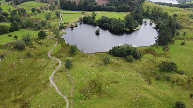
Summerhouse Pond

Lake, Pool, Pond, Freshwater Marsh in Lancashire South Lakeland

England

Summerhouse Pond

The Square, Hawkshead The centre of the lakeland village of Hawkshead on a wet March morning.
The Square, Hawkshead Credit: Graham Robson

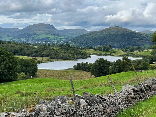
Summerhouse Pond is a picturesque freshwater pond located in the county of Lancashire, England. Nestled amidst lush greenery and rolling hills, it is a popular destination for both locals and tourists seeking tranquility and natural beauty.

Spanning an area of approximately half an acre, Summerhouse Pond is a small yet charming water body. It is surrounded by a diverse range of flora, including reeds, water lilies, and various species of grasses, creating a vibrant and inviting ecosystem. The pond's crystal-clear waters reflect the surrounding landscape, adding to its visual appeal.

As a freshwater pond, Summerhouse Pond provides a habitat for numerous aquatic creatures. It is home to a variety of fish species, including carp, roach, and perch, which attract fishing enthusiasts looking for a peaceful angling experience. The pond also serves as a watering hole for a myriad of bird species, making it a paradise for birdwatchers.

Visitors to Summerhouse Pond can enjoy a leisurely stroll along its perimeter, taking in the serene atmosphere and enjoying the sights and sounds of nature. There are several benches strategically placed around the pond, offering a tranquil spot for relaxation or contemplation. The pond is also a popular spot for picnics, with families and friends often gathering on its banks to enjoy a meal while admiring the beauty of their surroundings.

Overall, Summerhouse Pond is a hidden gem in Lancashire, offering a peaceful retreat from the hustle and bustle of everyday life. Its natural beauty, diverse wildlife, and serene ambiance make it a must-visit destination for nature lovers and those seeking a moment of tranquility amidst Lancashire's stunning landscape.

If you have any feedback on the listing, please let us know in the comments section below.

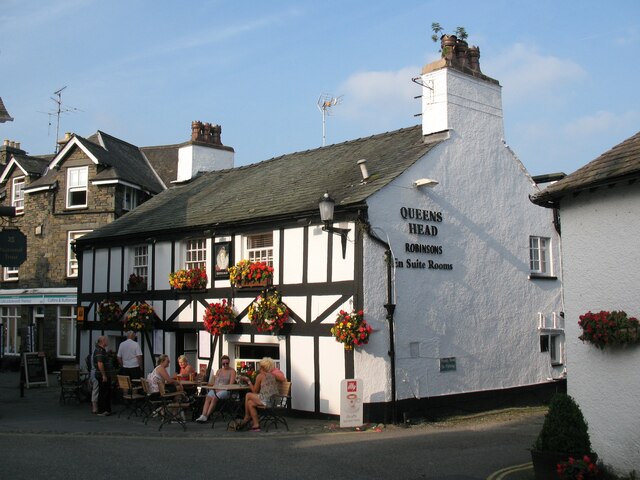
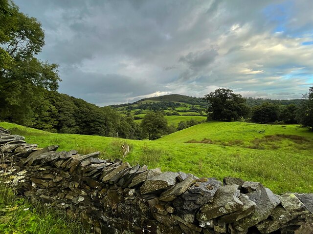
Summerhouse Pond Images

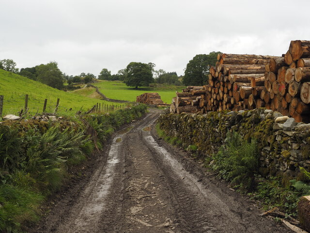
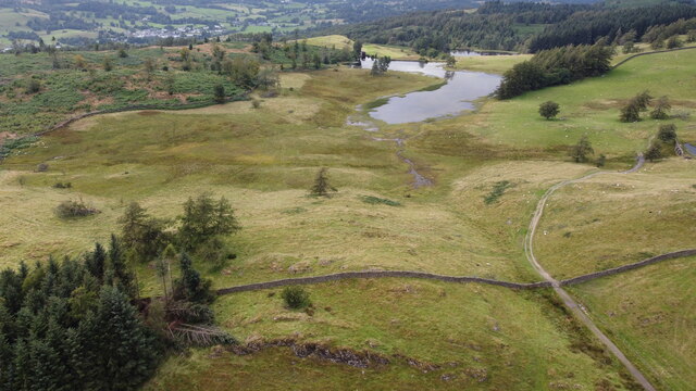
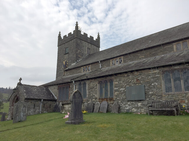
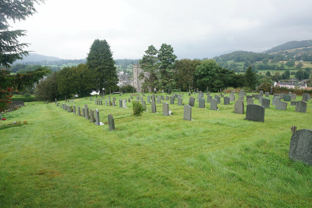
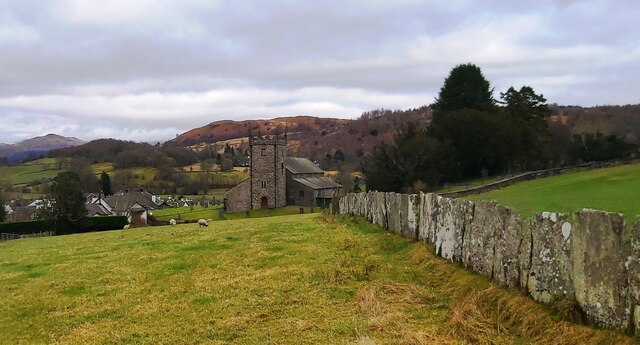
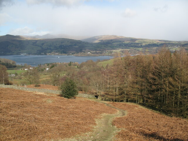
Images are sourced within 2km of 54.375493/-2.9762414 or Grid Reference SD3698. Thanks to Geograph Open Source API. All images are credited.

The Square, Hawkshead The centre of the lakeland village of Hawkshead on a wet March morning.
The Square, Hawkshead
The centre of the lakeland village of Hawkshead on a wet March morning.
Hawkshead on a wet morning A corner of the centre of Hawkshead on a wet March morning.
Hawkshead on a wet morning
A corner of the centre of Hawkshead on a wet March morning.
Bus shelter and toilets, Hawkshead Two useful buildings for visitors beside one another adjacent to the village's main car park.
Bus shelter and toilets, Hawkshead
Two useful buildings for visitors beside one another adjacent to the village's main car park.
Path beside Black Beck, Hawkshead A path follows the course of Black Beck on the eastern side of Hawkshead.
Path beside Black Beck, Hawkshead
A path follows the course of Black Beck on the eastern side of Hawkshead.
The Track up to Moss Eccles Tarn A lot of the trees in this area have blown over in, I presume, last year's gales.  Whether this timber is a result of that or has been deliberately 'harvested' from the local woodland, I don't know.
The Track up to Moss Eccles Tarn
A lot of the trees in this area have blown over in, I presume, last year's gales. Whether this timber is a result of that or has been deliberately 'harvested' from the local woodland, I don't know.
Moss Eccles Tarn from the Air Taken from the north from about 100m above ground. A small part of Esthwaite Water can be seen in the top right hand side of the photo.
Moss Eccles Tarn from the Air
Taken from the north from about 100m above ground. A small part of Esthwaite Water can be seen in the top right hand side of the photo.
Wise Een Tarn from the South Taken from about 120m above the ground, this is the view northwards from nearly above Moss Eccles Tarn
Wise Een Tarn from the South
Taken from about 120m above the ground, this is the view northwards from nearly above Moss Eccles Tarn
Location of OS Cut Mark - 1GL Bolt: Hawkshead, Church
St. Michael's Church, Hawkshead
OS Cut Mark - High Wray, Beyond Fields Fm, Outbuilding <span class="nowrap"><a title="https://www.bench-marks.org.uk/bm56690" rel="nofollow ugc noopener" href="https://www.bench-marks.org.uk/bm56690">Link</a><img style="margin-left:2px;" alt="External link" title="External link - shift click to open in new window" src="https://s1.geograph.org.uk/img/external.png" width="10" height="10"/></span>
OS Cut Mark - High Wray, Beyond Fields Fm, Outbuilding
Churchyard of St Michael & All Angels Set on a small hilltop. The village is below and beyond the church seen ahead.
Churchyard of St Michael & All Angels
Set on a small hilltop. The village is below and beyond the church seen ahead.
Sheep Pasture at Walker Ground, Hawkshead
St Michael & All Angels Church - Hawkshead
Queen's Head - Hawkshead
Path above Waterson Intake The path is the public footpath from Latterbarrow to High Wray.
Windermere is in the middle distance and there is a snow shower over the Kentmere Fells.
Path above Waterson Intake
The path is the public footpath from Latterbarrow to High Wray. Windermere is in the middle distance and there is a snow shower over the Kentmere Fells.
Queens Head, Hawkshead
Wall and fields above Blelham Tarn
Farmland near Outgate The distant hill is Latterbarrow.
Farmland near Outgate
The distant hill is Latterbarrow.
Show me another place!

Summerhouse Pond is located at Grid Ref: SD3698 (Lat: 54.375493, Lng: -2.9762414)

Administrative County: Cumbria

District: South Lakeland

Police Authority: Cumbria

What 3 Words

///removals.weary.variously. Near Windermere, Cumbria

Related Wikis

Latterbarrow

Latterbarrow is a hill in the English Lake District, east of Hawkshead, Cumbria. It is the subject of a chapter of Wainwright's book The Outlying Fells...

Claife

Claife is a civil parish in the South Lakeland district of Cumbria, England. It is situated west of Windermere, and east of Esthwaite Water and the village...

Beatrix Potter Gallery

The Beatrix Potter Gallery is a gallery run by the National Trust in a 17th-century stone-built house in Hawkshead, Cumbria, England. It is dedicated to...

Hawkshead Grammar School Museum

The museum operates in the old Hawkshead Grammar School building from 1 April through to 31 October. It gives an introductory talk about the school, highlighting...

Nearby Amenities

Located within 500m of 54.375493,-2.9762414
Bicycle: yes
Foot: yes
Ford: yes
Horse: yes
Lat/Long: 54.3764863/-2.9758684
Robinson's Intake
Place: locality
Lat/Long: 54.3750149/-2.9738492
Ele: 206
Natural: peak
Lat/Long: 54.3752079/-2.9746915
Rough Hows Intake
Place: locality
Lat/Long: 54.3741423/-2.9711941
Renny Crags
Place: locality
Lat/Long: 54.3785477/-2.9760374
Hodson's Intake
Place: locality
Lat/Long: 54.3763695/-2.9729531
Ford: yes
Lat/Long: 54.3717667/-2.9735276
Ford: yes
Lat/Long: 54.3717106/-2.9737435
Ford: yes
Lat/Long: 54.3723825/-2.9779662
The data included in this document is from www.openstreetmap.org. The data is made available under ODbL.

Have you been to Summerhouse Pond?

Leave your review of Summerhouse Pond below (or comments, questions and feedback).